 Portuguese
  English
  Spanish
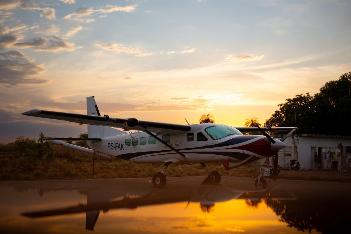
After Ten Years, Brazil Resumes Aerogeophysical Surveys in Tocantins, Using Cutting-Edge Technology and Focusing on Sustainability, Innovation, and Strengthening the National Mineral Chain
The aerogeophysical surveys in Tocantins are once again reshaping the Brazilian mineral landscape after a decade without new flights, according to a report published.
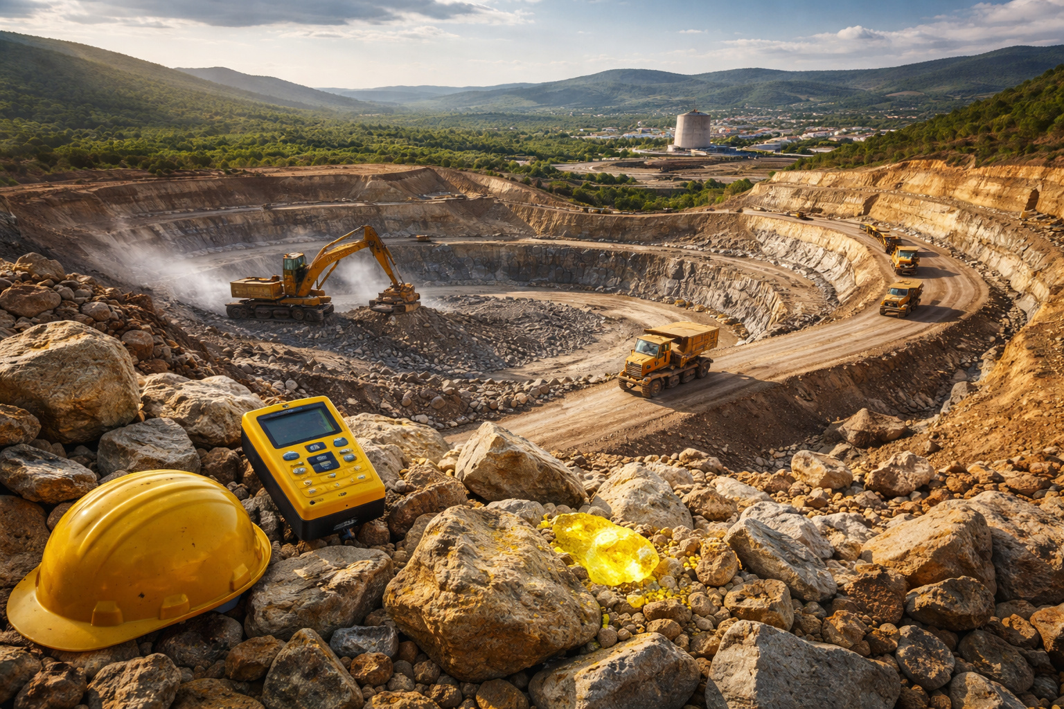
The Geological Service of Brazil (SGB) has initiated the Southeast Aerogeophysical Project in Tocantins, marking the beginning of the third generation of national subsurface mapping.
The investment of around R$ 10 million, made possible by the New Growth Acceleration Program (Novo PAC), covers 20 municipalities and promises to revolutionize mineral production and the economic sustainability of the region.
-
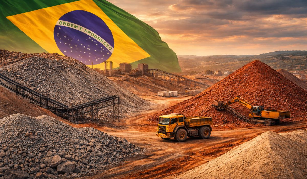
Brazil extracts 26.3 million tons of ore from what was previously treated as waste, transforming residues into wealth, producing over 3 million tons of sand, and demonstrating how national mining is relearning to generate value.
-
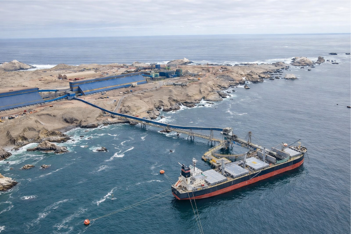
A $3.5 billion megaproject in Latin America pumps desalinated seawater at 1,050 liters per second over 194 km to keep a copper supermine in the Andes operational for another 20 years.
-
A hidden mine in the Andes valued at nearly R$ 1 trillion is starting to attract global attention, containing copper, gold, and silver, and raises an intriguing question: why do Argentina and Chile need to act together to exploit this gigantic wealth?
-
A silent discovery in the interior of Bahia could change the future of energy in Brazil: a uranium reserve in Lagoa Real has an estimated capacity to produce 400 tons per year and is already attracting the attention of energy sector specialists.

The initiative follows the guidelines of the Decadal Basic Geological Mapping Plan (PlanGeo) and utilizes unprecedented data acquisition methods, integrating magnetometry, gamma spectrometry, and strapdown gravimetry technology.
These resources allow for non-invasive, accurate, and detailed mapping of the subsurface, consolidating Brazil among the countries with the greatest potential for mineral and energy resources.
Technology and Innovation in the New Generation of Aerogeophysical Surveys in Tocantins
The aerogeophysical surveys in Tocantins represent an unprecedented technological leap in the mineral sector.
According to the SGB, the mapping flights will cover approximately 20,000 km², including municipalities such as Almas, Arraias, Natividade, Taguatinga, and Porto Alegre do Tocantins.
The execution is under the responsibility of Lasa Prospecções (Xcalibur Smart Mapping), the winner of a public tender.
This phase brings to the country the latest in remote sensing technology. The new system will achieve an effective resolution of 250 meters between flight lines, significantly enhancing the capacity to identify critical minerals.
These minerals, essential for the energy transition and the high-tech industry, place Brazil in a strategic position on the international stage.
According to the acting president of the SGB, Sabrina Góis, the project reinforces the institution’s commitment to science applied to sustainable development. “Quality geoscience is the foundation for driving economic growth and creating opportunities for local communities,” she stated.

Sustainable Development and Economic Opportunities in the Mineral Sector
With the aerogeophysical surveys in Tocantins, the state stands out as one of the main centers of geological knowledge in the country.
The expectation is that the first results will be available in the first half of 2026, creating favorable conditions to attract new investments and research.
The aerogeophysical survey acts as a “radiography of the soil,” capturing information from the magnetic field and natural radiation of rocks.
This methodology allows for the study of depths ranging from a few centimeters to hundreds of kilometers without the need for drilling.
“Geophysics enables us to see the subsurface accurately, optimizing the search for mineral and water resources sustainably,” explained Iago Costa, head of Remote Sensing and Geophysics Division (DISEGE).
With the delivery of data, an increase in direct and indirect job generation is expected, along with significant growth in the service sector and municipal revenue.
The socioeconomic impact is expected to reflect throughout the production chain, strengthening the mineral industry and contributing to the environmental and economic balance of Tocantins.
Historic Advances and the Consolidation of the Third Generation of Aerogeophysical Surveys
The aerogeophysical surveys in Tocantins are part of the third generation of projects conducted by the SGB, consolidating five decades of advances in Brazilian geoscientific research.
The three phases that mark this trajectory are:
- 1st Generation (1971 – 2001) – Conducted pioneering regional surveys with low-resolution equipment, fundamental for the initial understanding of the Brazilian subsurface.
- 2nd Generation (2004 – 2015) – Covers approximately 3.7 million km², equivalent to 51% of the national territory and 86% of the crystalline basement, with an investment of US$ 183 million, using advanced methodologies such as magnetometry and gamma spectrometry.
- 3rd Generation (2025) – Initiates in Tocantins, with ultra-resolution methods, placing Brazil on par with Canada and Australia. This stage aims to reveal the potential of critical minerals geared towards energy transition and global sustainability.
The director of Geology and Mineral Resources of the SGB, Valdir Silveira, emphasized that this resumption occurs at a strategic moment.
“The geological potential of the country reinforces the importance of aerogeophysical data as an essential tool for the sustainable growth of Brazilian mining,” he stated.
With the advancement of the aerogeophysical surveys in Tocantins, Brazil strengthens its position as a reference in geoscientific innovation and expands the possibilities for responsible exploration of its natural resources.
The knowledge generated will allow for more assertive decisions regarding land use and environmental preservation, consolidating a balanced and long-term development model.


Seja o primeiro a reagir!