 Portuguese
  English
  Spanish
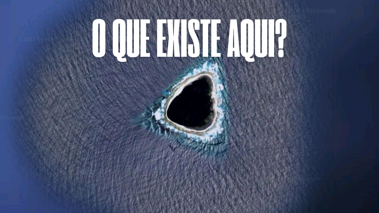
Recently, a supposed “black hole” on Google Maps caught the attention of social networks. The intriguing image showed a large dark area in the middle of the Pacific Ocean, sparking numerous speculations. Some users believed it was a geographical anomaly, while others suggested it could be a location censored by Google.
Theories spread quickly, with comparisons to secret bases, mapping failures via satellite, and even references to the TV series Lost. But after all, what is the truth behind this enigmatic point in the ocean, known as the “black hole” on Google Maps?
After a deeper investigation, experts revealed that the dark image actually corresponds to Vostok Island. This uninhabited territory is part of the Republic of Kiribati and has a unique peculiarity: its dense vegetation consisting of Pisonia trees.
The leaves of these trees have an extremely dark green hue, creating the illusion of an abyss when viewed from above. This visual effect ended up generating the mystery that circulated on the internet. Despite the scientific explanation, curiosity about the island did not diminish, leading explorers to venture into its waters.
-
Something is happening around the Earth: Inside the huge explosion of fireballs in 2026

-
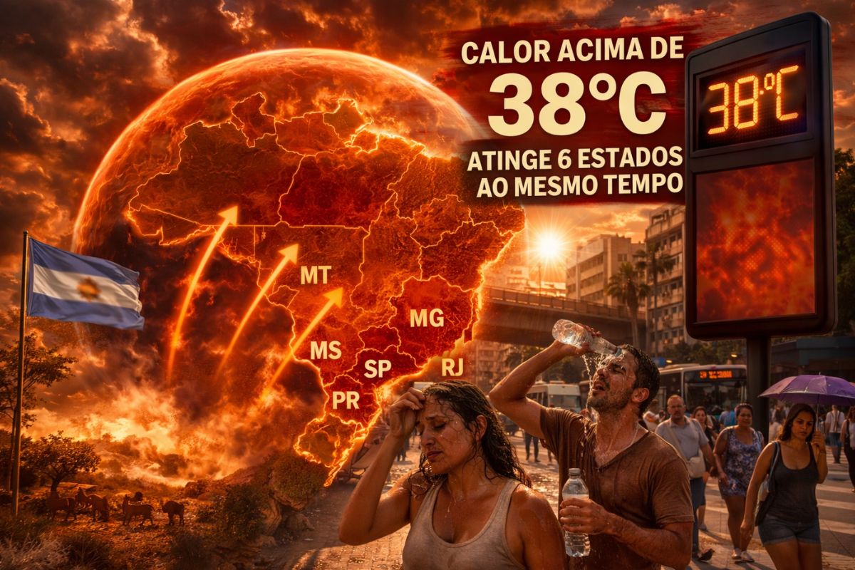
A hot air bubble coming from Argentina expands over Brazil, causing thermometers to exceed 38 degrees with a thermal sensation of 40 degrees in late March, affecting 6 states at once.
-
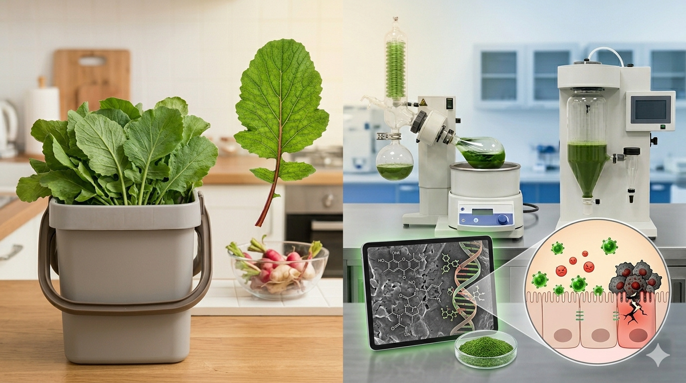
The radish leaf that almost everyone throws away has more polyphenols, flavonoids, and fiber than the consumed root, and a 2025 study showed that the leaf contains compounds that protect the intestine, combat inflammation, and may inhibit the growth of cancer cells.
-
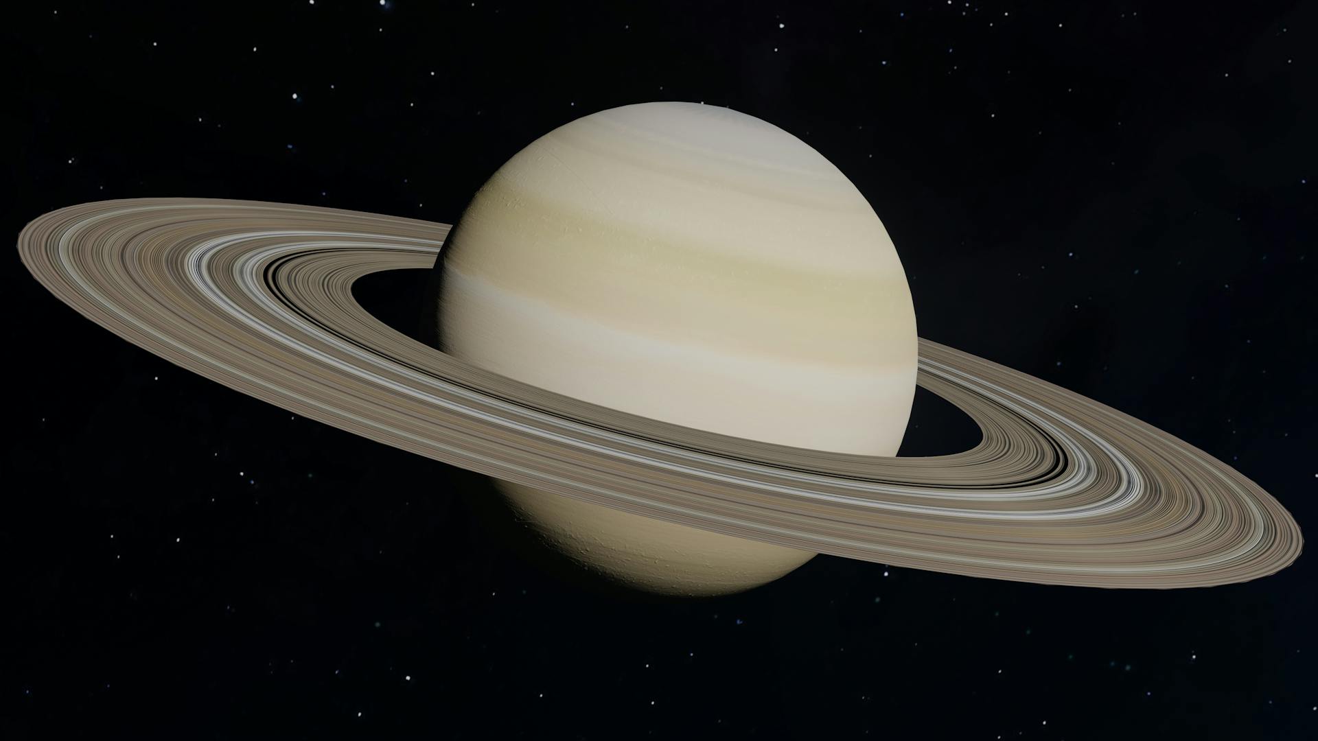
A planet that seemed to defy the laws of physics has intrigued scientists for decades, until the James Webb revealed what is really affecting Saturn’s rotation.

Diver Explores the Depths of the ‘Black Hole’

The renowned diver and National Geographic explorer, Enric Sala, was one of the first to capture underwater images of Vostok Island. In a video published on YouTube, he described the experience as one of the most impressive of his career.
During the expedition, Sala encountered a thriving ecosystem that had been virtually untouched by human activity. Sharks swam around him, while large schools of jaguar fish, barracudas, and surgeonfish swam among the coral reefs. The marine biodiversity in the area is astonishing, making the island a true underwater paradise.
The preservation of Vostok Island, known as the black hole on Google Maps, occurs largely due to its isolation. Without significant human intervention, the fauna and flora of the region have developed uniquely, serving as an important subject of study regarding environmental impacts on oceans.
Conspiratorial Theories About Vostok Island
Even with the scientific explanation for the dark appearance of the black hole on Google Maps, many internet users still question the mystery. Some believe that the area was intentionally “censored” and that its dark appearance does not correspond to such a small and shallow atoll.
Other theories suggest that the island may hide secrets, such as ancient shipwrecks, secret military bases, or even unknown phenomena. Although nothing has been proven, Vostok Island continues to spark curiosity, especially for being little explored and remaining almost untouched by humans.
The Protected Natural Sanctuary
More than just an enigmatic location, Vostok Island, the black hole on Google Maps, is recognized as a wildlife sanctuary. Its territory is home to colonies of rare seabirds, such as the red-footed booby (Sula sula), frigates, and white tern (Gygis alba).
To preserve this unique ecosystem, the government of Kiribati has imposed strict rules. Access to the island is highly restricted and requires special authorization. Additionally, there is a 12 nautical miles exclusion zone around the island, ensuring that local biodiversity is not affected by human activity.
Interestingly, in the early 20th century, attempts to turn the island into an agricultural area failed. In 1922, efforts to cultivate coconuts were completely thwarted by the dense Pisonia vegetation, which prevents the growth of other species. This reinforces the idea that nature itself protects against external interference, making Vostok Island a true untouched refuge in the middle of the Pacific.


-

-

-

-

-

-

47 pessoas reagiram a isso.