 Portuguese
  English
  Spanish
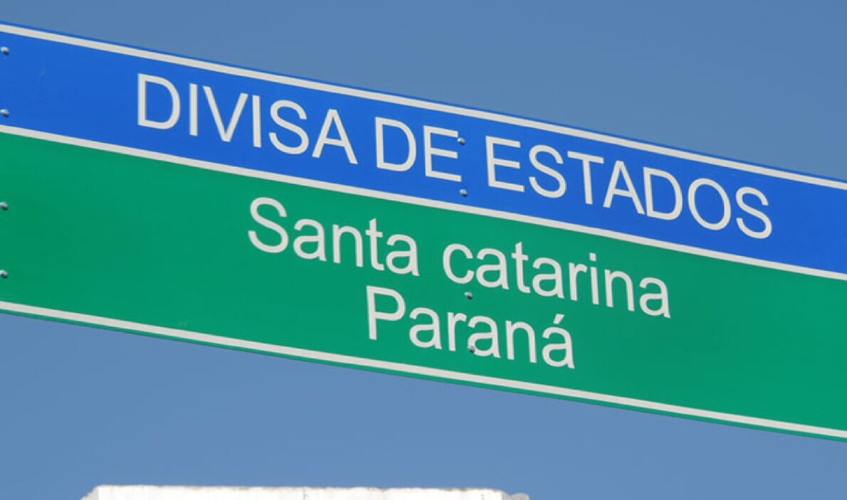
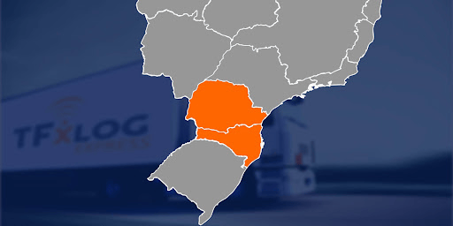
Inconsistencies In Territorial Boundary Markers Between Paraná And Santa Catarina Could Result In A Significant Change In State Borders
The Paraná Institute of Water and Land (IAT), through its Territorial Management Directorate (Diget), revealed inconsistencies in the physical markers that mark the border between the states of Paraná and Santa Catarina. According to the IAT, Santa Catarina could gain an estimated area of 490 hectares due to these demarcation errors, according to the site O município Blumenau.
Request For Recalculation Of State Borders By Resident
The review process was triggered by a complaint from a resident who owns property between the municipalities of Guaratuba (PR) and Garuva (SC). After receiving an environmental fine from Paraná, the owner sought Diget to clarify which state his property was actually in.
“The main problem was that our records indicated that part of his house was in an environmental protection area in Guaratuba, resulting in the fine. However, upon checking on-site, we found that the property is completely in Santa Catarina,” explained Diget’s forestry engineer, Amauri Simão Pampuch.
-
If the USA were to go to war with Brazil, Washington’s greatest fear would not be the attack itself, but facing a vast territory, prolonged resistance, and a costly, chaotic, and unpredictable occupation.

-
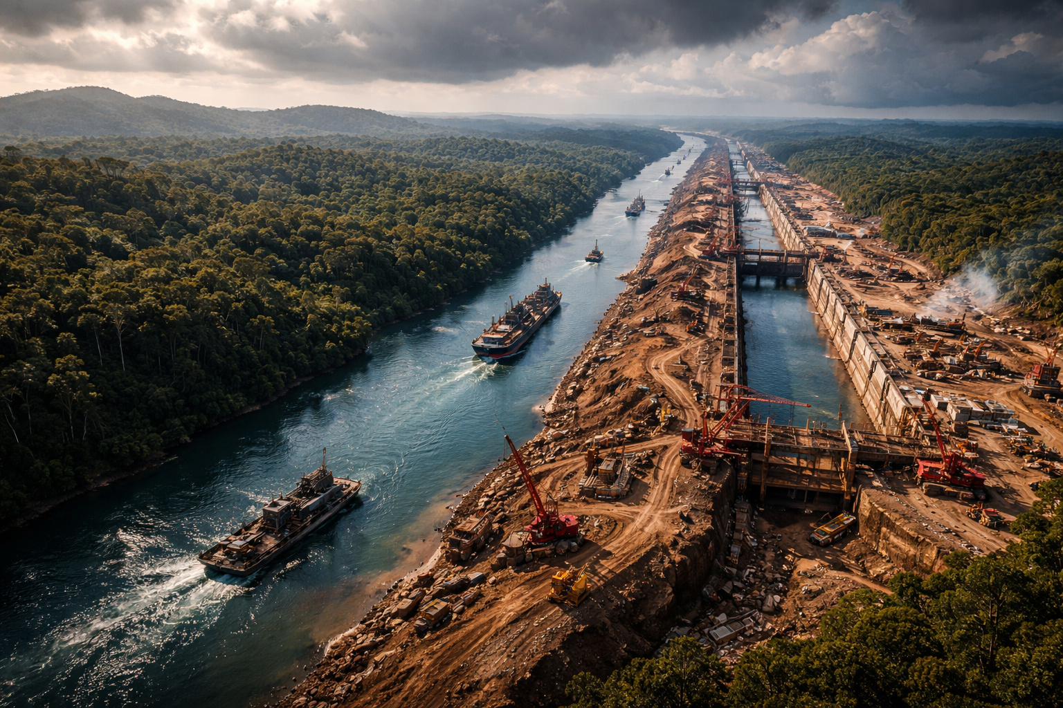
In 2013, Nicaragua sold the concession for a canal to rival Panama to a Chinese billionaire who lost 85% of his fortune, disappeared, and was declared bankrupt. Now the project resurfaces with a new route, a new Chinese partner, and a cost of $64.5 billion.
-
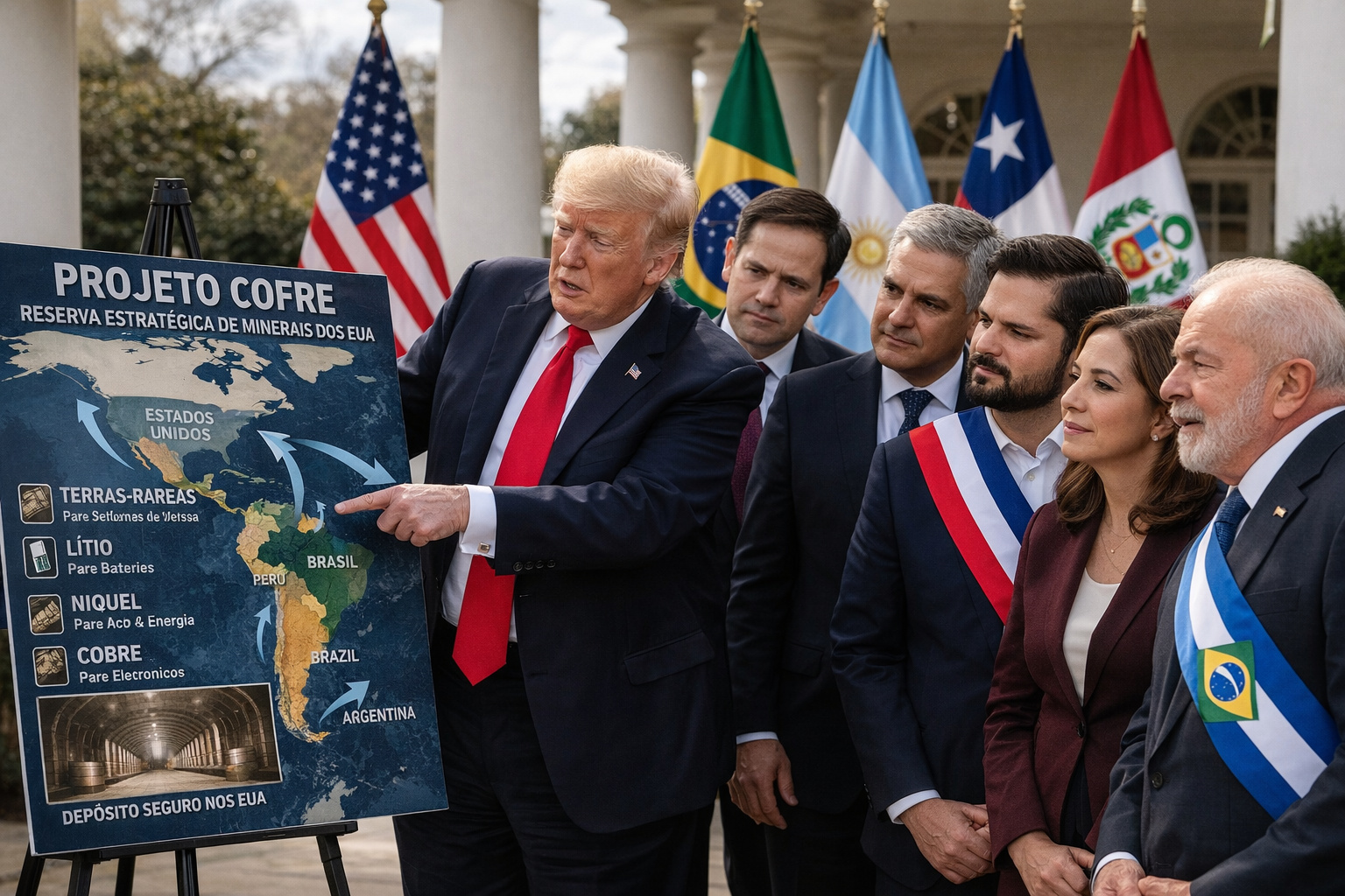
The USA announces a mysterious billion-dollar vault project to store critical minerals, but what intrigues experts is not just the plan itself, but why Latin America, including Brazil, has entered the center of this global dispute against China.
-
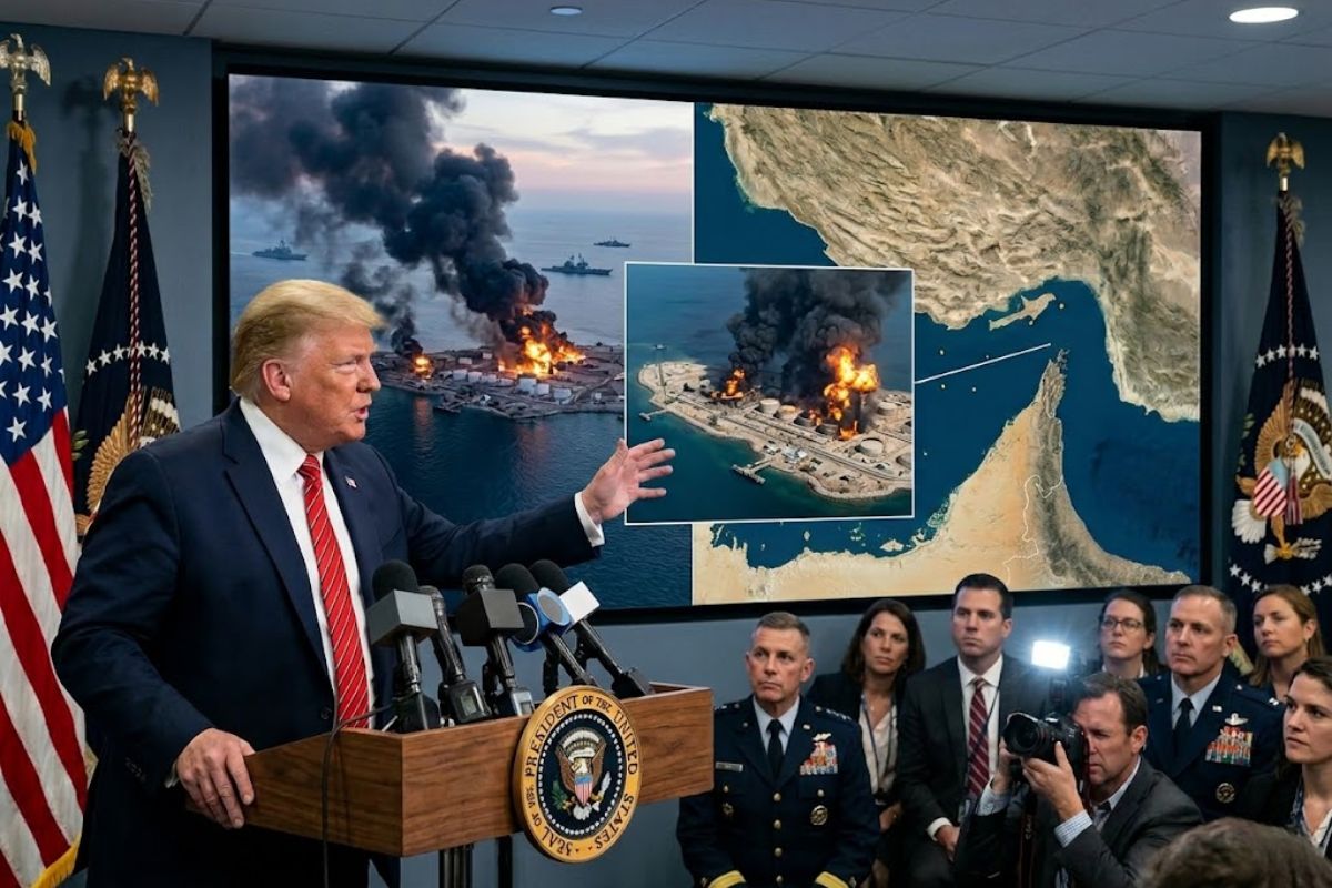
Trump Announces Bombing of U.S. Military Targets on Iranian Island Responsible for About 90% of Iran’s Oil Exports, Warns of Further Attacks if Navigation in Strategic Strait of Hormuz Is Threatened

Causes Of The Demarcation Error Between The Borders Of Paraná And Santa Catarina
According to Pampuch, the inaccuracy in the boundary between the states likely occurred due to an error during the initial measurement, conducted in the 1990s. He noted that these mappings are done using aerial photographs, followed by photographic interpretations and field surveys to create topographic maps with state boundaries. However, these delineations in this specific region were deemed incorrect.
Procedures For Officialization
Despite the verification of the new territorial delimitation, Santa Catarina has not yet officially gained the 490 hectares. Diget plans to send a detailed report to the Santa Catarina Planning Secretariat, informing about the recalculation and requesting the agreement of the Santa Catarina government with the new limits.
After Santa Catarina’s approval, the next step will be to send the revised documentation to the Brazilian Institute of Geography and Statistics (IBGE) for the official update of the boundary markings between the states.
Impacts And Reactions
So far, the Communication Secretariat of Santa Catarina has not officially commented on the possible increase of territory. The report attempted to make contact but did not receive a response before this article was published.
If confirmed, the recalculation could have significant implications for both states, affecting everything from environmental issues to resource management and local public policies.


-

Uma pessoa reagiu a isso.