 Portuguese
  English
  Spanish
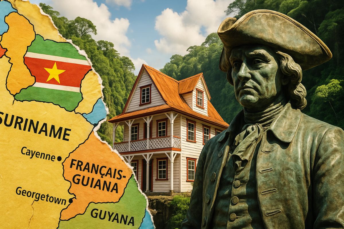


Suriname and Guianas Form an Isolated Corridor in the Northern Part of the Continent, with Difficult Borders, Non-Hispanic Colonial History, and Societies That See Themselves as Closer to the Caribbean, Europe, and Asia Than to Their South American Neighbors
Suriname and Guianas occupy a piece of the map that looks like South America, but functions almost like another continent. The combination of inaccessible forest, ancient geological shield, and an Atlantic-facing coast has created a physical and symbolic barrier that still keeps the region apart from the rest of the continent.
At the same time, the colonization by British, French, and Dutch, and not by Spaniards or Portuguese, shaped distinct languages, institutions, and identities. The result is a set of territories that share a border with Brazil and Venezuela but do not fully recognize themselves as part of the South American imaginary.
The Geography That Isolated Suriname and Guianas

Suriname and Guianas are at the extreme north of South America, in an area of about 468,000 square kilometers, practically a “block” apart connected to the Atlantic Ocean.
-
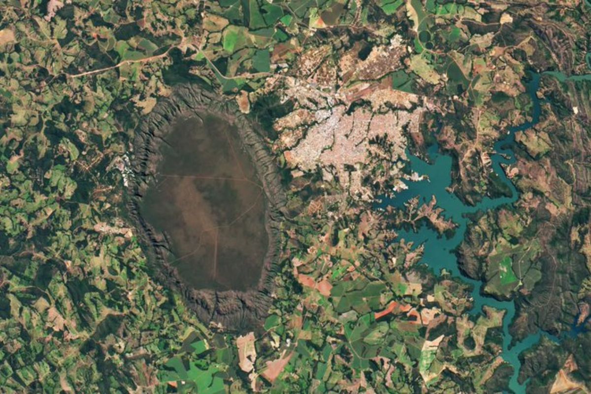
NASA published a photo taken from space of a mountain range in the interior of Goiás, and the whole world wanted to know what it was: beneath it lies the largest hot water spring on the planet, with temperatures reaching 70 degrees in the middle of the Cerrado.
-
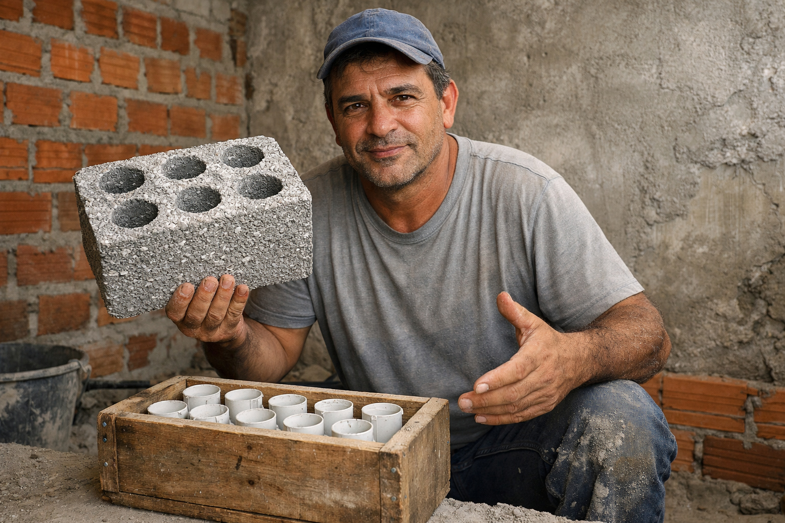
A thermal block costing only R$ 0.40 catches attention by reducing heat by up to 80% using recycled styrofoam, a common kitchen ingredient, and a manual technique capable of producing 50 blocks from a single bag of cement.
-
The item in the house that consumes the most water is not in the kitchen; it is in the smallest room of the house and can account for up to 30% of the expenditure on its own.

-
While Argentina relies on the USA to provide communications, data transmission, and electronic warfare for the F-16, Brazil is accelerating with the Gripen and integrating the Link-BR2, a national technology that strengthens air defense.

What isolates Suriname and Guianas is not only the position on the map, but also what exists above it.
The main factor responsible for this isolation is the Guiana Shield, a very ancient land formation that emerged over 2 billion years ago.
Over time, the terrain has undergone so many transformations that it became completely different from the rest of South America, as if it were its own geological plateau.
Within this “natural wall,” tepuis appear, flat-topped mountains with walls so straight they seem carved by hand. Many of the most famous tepuis are in Venezuela, but the effect of inaccessibility extends throughout the region.
Getting into the interior of Suriname and Guianas is difficult by land, by river, and even by coastal navigation, which reinforces the sense of historical isolation.
Almost all of the territory is covered by dense forest. There are so many trees upon trees that the interior works as an almost impenetrable green maze, which helps explain why the region is one of the least inhabited in the world.
In addition to the forest, there are strips of savanna, dry and open, reminiscent of African landscapes. The Rupununi savanna, in southern Guyana, on the border with Brazil, is an emblematic example.
From the ground, it gives the impression that one is in another continent.
Difficult Rivers, Cities Facing the Sea

In the midst of this forest flows a dense network of rivers that run north to drain into the Atlantic. The largest of them is the Essequibo River, which originates near Brazil, cuts through Guyana from end to end, and ends at the capital, Georgetown.
Navigating these rivers is risky. The currents are unpredictable, many stretches are shallow or filled with sandbanks, and the soil is soft and flooded in much of the territory.
In practice, this limits internal routes, raises transportation costs, and complicates connections with South American neighbors.
The result: it’s not easy to advance on foot, by road, or by boat in many stretches of the interior. The only area that offers some degree of stability for cities and infrastructure is the coastal strip.
To make it habitable, artificial canals were dug to help drain water and consolidate the land.
It is in this transition between drained land and sea that the three main capitals of the region arise: Georgetown, Paramaribo, and Cayenne, all facing the Atlantic, with their physical and symbolic backs to the interior of the continent.
Colonization Outside the Hispanic Pattern

When the rest of South America was divided between Portugal and Spain by the Treaty of Tordesillas, Suriname and Guianas officially fell under Spanish rule.
But the difficult and inaccessible terrain drove away Spanish interest, which concentrated its efforts in other more “profitable” areas of the continent.
This disinterest opened the door for other European empires. Starting in the 17th century, the British, French, and Dutch began to compete for control of the coastal strip, establishing commercial colonies facing the sea.
Over time, a division was solidified that still marks the region:
- The British took the area that is now Guyana
- The Dutch occupied the territory that would become Suriname
- The French maintained what is now French Guiana
- The former Spanish Guiana was incorporated into Venezuela
This dispute was only settled in 1814, with the Treaty of London, when the three empires officially recognized each other’s territories.
While much of South America followed the Iberian logic and moved toward national independences, Suriname and Guianas remained as pieces of northern European empires, linked by Atlantic routes rather than the interior of the continent.
Slavery, Contracted Servitude, and a Unique Cultural Mosaic
For centuries, the British, French, and Dutch exploited sugar plantations in the region, fueled by slave labor.
Millions of Africans were forcibly brought in by the transatlantic trade, and a significant portion was directed to the Guianas. At one point, the African population surpassed the local population by three times.
In addition to Africans, indigenous peoples from the Guianas and the Caribbean were also forced into labor, deepening a process of ongoing contact and tension.
Over time, the forced coexistence of different groups generated a new culture, marked by the blending of African and Caribbean traditions.
When slavery began to be abolished, at different times for each empire – Britain in 1833, France in 1848, and the Netherlands only in 1873 in Suriname – the colonizers needed another way to maintain production.
Then emerged the “contracted laborers,” workers brought from other parts of the world under strict agreements, with greater rights than the enslaved, but subjected to hard conditions for long periods.
This mechanism introduced new waves of migration, mainly from South Asia, which transformed Suriname and Guianas into one of the world’s greatest cultural mosaics.
Today, the region brings together indigenous, African, Caribbean, Asian, and European influences in proportions that completely deviate from the predominant Latin standard in the rest of South America.
Identity Oriented Toward the Caribbean, Europe, and Asia
Currently, Suriname and Guianas have about 1.7 million inhabitants, distributed across three distinct realities:
Guyana is the only country in South America with English as its official language, the largest and most populous among the three, with about 214,000 square kilometers and over 800,000 inhabitants. A large portion of the population descends from contracted workers brought from South Asia.
Suriname is the only country outside of Europe where Dutch is the official language. About 90% of the territory is covered by tropical forest, and the historical link to the Netherlands remains strong in language, institutions, and collective memory.
French Guiana continues to be an overseas department of France. It uses the euro, its inhabitants have European Union citizenship, and Brazil is the country with the longest land border with France, with about 730 kilometers of continuous border.
This configuration makes Suriname and Guianas view themselves more as an extension of Atlantic and Caribbean circuits than as an organic part of the Spanish and Portuguese-speaking South America.
The official languages are not Spanish or Portuguese. Political and legal references point to London, Paris, or The Hague more than to Brasília, Buenos Aires, or Bogotá. The very idea of “South American identity” is diluted there.
The Forgotten Part That Became a Crossroads of Worlds
For a long time, Suriname and Guianas were treated as the forgotten part of the continent. The difficult geography deterred large Hispanic colonial projects.
The European focus concentrated on the coast, ports, and maritime export routes.
Paradoxically, this initial disinterest paved the way for the region to become a unique meeting point between different peoples and traditions.
Today, Suriname and Guianas do not fully consider themselves South American not because they declared so in a document, but because:
- they carry very strong European and Caribbean roots
- they have official languages distinct from the rest of the continent
- they live in a territory shaped by natural barriers that distance them from the interior of South America
It is a portion of the map that, in the physical and symbolic sense, operates on a different logic. It looks like South America on the atlas, but breathes Caribbean, Europe, and Asia in everyday life.
And you, looking at this story of geographic isolation, atypical colonization, and hybrid culture, do you think Suriname and Guianas should be more integrated into the South America project, or does it make sense for them to keep cultivating this “other continent” identity within ours?


Com certeza, mantenham suas raízes. Voltar-se para a América portuguesa ou espanhola seria um retrocesso.
As Guianas não são integradas nem entre si, que dirá com o restante do norte da América do Sul. São 3 linguas diferentes, porém uma diversidade de povos. Os descendentes de negros escravizados estão presentes nas três, assim como indianos, chineses, indígenas e brasileiros. Os brasileiros e seus descendentes estão principalmente na Guiana Francesa e Surinsme. Não acredito que o isolamento seja pela língua, pois se assim fosse a Europa não se uniria em um bloco. Fico com afirmativa das condições fisiográficas.
Se analisarmos pela ótica linguística, o Brasil também é o único país da América do Sul a adotar o português como língua oficial.