 Portuguese
  English
  Spanish
The rainfall forecast between March 30 and April 6 indicates accumulations above 150 mm in parts of the North and Northeast, as well as high volumes along the coasts of the South and Southeast, with highlights for Amazonas, Roraima, Maranhão, Piauí, São Paulo, Rio de Janeiro, Paraná, and Santa Catarina
The forecast from the National Institute of Meteorology indicates significant rainfall in several regions of the country between March 30 and April 6, with the highest accumulations in the North, Northeast, and coastal areas of the South and Southeast. In isolated areas, the volumes may exceed 150 millimeters, concentrating the highest records in states within these ranges.
More intense rain in the North and Northeast
In the North, the rain is expected to be more substantial in Amazonas, western Roraima, northwestern and central-eastern Pará, and northern Tocantins. In these areas, accumulations may exceed 80 millimeters, with peaks above 150 millimeters in isolated locations.
The rain is likely to remain more persistent in Roraima and in the west of Amazonas. In the rest of the region, precipitation is expected to occur in a weaker and more isolated manner.
-
A fish that survives out of water, crawls on land until it finds another river, and whose female lays 80,000 eggs at once is infesting rivers and lakes in Brazil, and no one can stop this invasion.

-
WEG took its technology to Spain to create a solar irrigation system that operates independently without needing an electrical grid, and now farmers control everything remotely via their mobile phones.

-
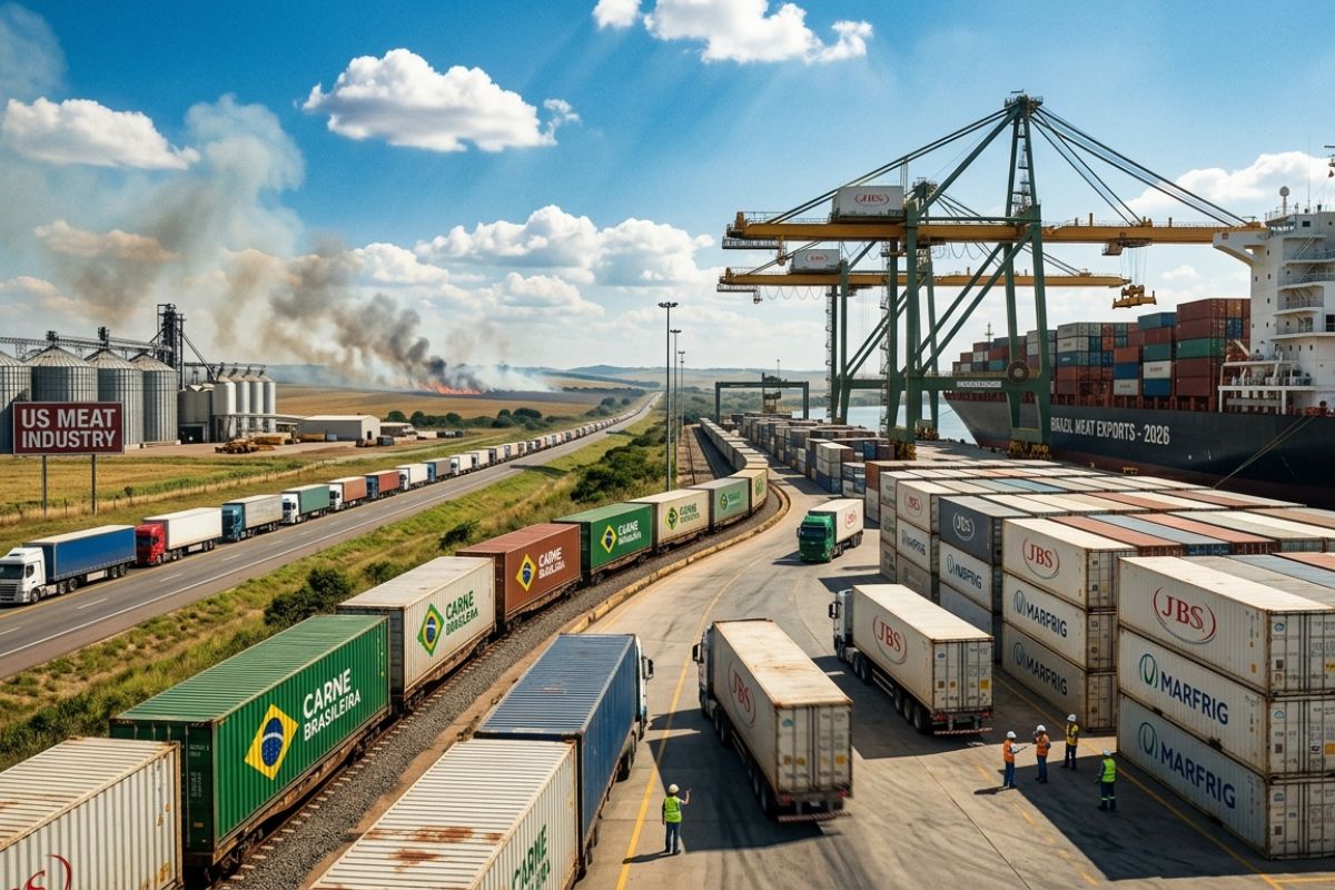
The US faces a meat crisis with fires, pests, and strikes, consumption rises and supply falls to the lowest level since 1952, creating a billion-dollar opportunity for Brazilian exports to grow in 2026.
-
China rejected an entire shipment of beef from Argentina after detecting an antibiotic so dangerous that it has been banned for human consumption for over 30 years, and now the export sector is facing a crisis of international trust.


In the Northeast, the rain concentrates in the central-north of Maranhão and Piauí, as well as in southern Ceará. The expected accumulations are around 80 millimeters, potentially reaching up to 150 millimeters in isolated areas.
Volumes vary in the Midwest and Southeast
In southern Bahia and parts of Maranhão, the rain is expected to vary between 50 and 80 millimeters. In the rest of the northeastern coast and in inland areas, the expected volumes range between 20 and 50 millimeters, while other areas are expected to record weaker precipitation.
In the Midwest, the rain is likely to concentrate in northern Mato Grosso, with accumulations that may reach 70 millimeters and, at times, exceed 80 millimeters. In central-southern Mato Grosso, northwestern Goiás, and the Federal District, the volumes vary between 20 and 40 millimeters.
Coastal strip concentrates rain in the South
In the Southeast, the week will be marked by persistent rain along the coast of São Paulo, in the Paraíba Valley, and in southern Rio de Janeiro. In these areas, accumulations are expected to exceed 50 millimeters, with the possibility of reaching 80 millimeters.
In Espírito Santo, eastern Minas Gerais, the Zona da Mata, the Triângulo Mineiro, and central São Paulo, the rain is expected to vary between 20 and 50 millimeters. In the South, the highest volumes are expected along the coastal strip of Paraná and in parts of the coastline of Santa Catarina, with accumulations above 50 millimeters and peaks of up to 80 millimeters.
With info from CRural


Seja o primeiro a reagir!