 Portuguese
  English
  Spanish
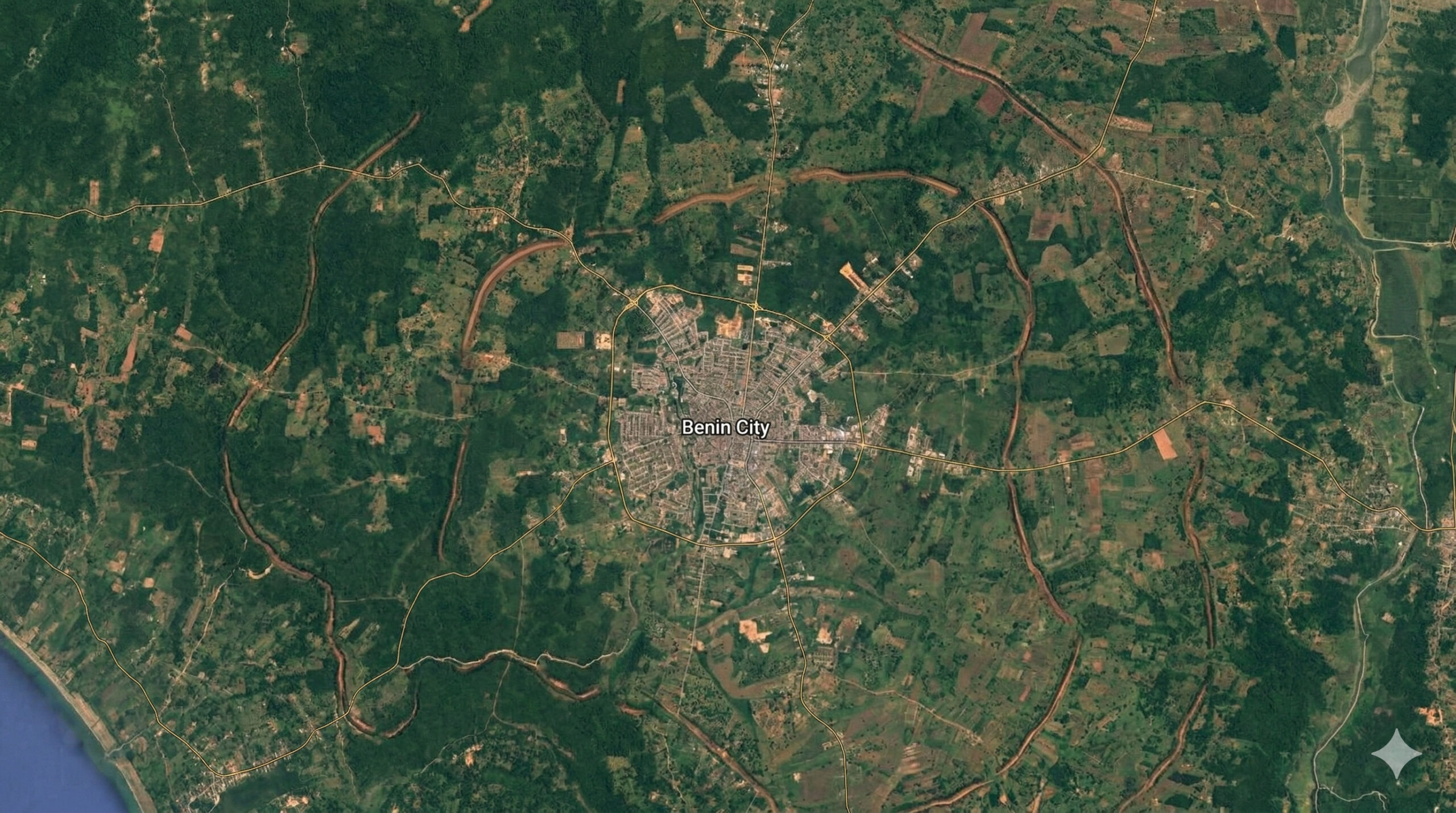
The walls of Benin City exceeded 16 thousand km and still appear from space as vestiges of one of the greatest earthworks ever made.
In 2025, images and analyses published by NASA Earth Observatory shed light on one of the most impressive engineering feats ever accomplished in pre-colonial Africa: the Benin Earthworks, located in present-day Benin City, Nigeria. Formed by earthen walls, ramps, and ditches excavated over centuries, the system appears in orbital observations as a vestige of a monumental landscape shaped by generations, on a scale that still challenges comparisons with other great ancient structures.
According to UNESCO itself, this set of earthworks extends for about 16 thousand kilometers in the Benin rainforest, while NASA describes it as the longest known earthwork system of the pre-mechanical era. This data helps to gauge the magnitude of an artificial structure built long before industrialization, consolidating the Benin Earthworks as one of the greatest feats of landscape transformation ever produced by human action.
Construction began around the seventh century and expanded over hundreds of years
The Benin Earthworks were not built all at once. Archaeological studies indicate that the first structures began to emerge around the seventh century, with continuous expansions until approximately the fourteenth century.
-
The Maputo-Katembe Bridge changed Mozambique, 3 km over the ocean, 680 m suspended and 140 m towers, a Chinese project costing US$ 700–800 million that ended ferries and also brought debt.

-
Dutch people are replacing common fences with “rain fences,” fences that store rainwater in the garden: up to 2,160 liters, relieving the sewage system during storms and helping to cope with drought in the summer.

-
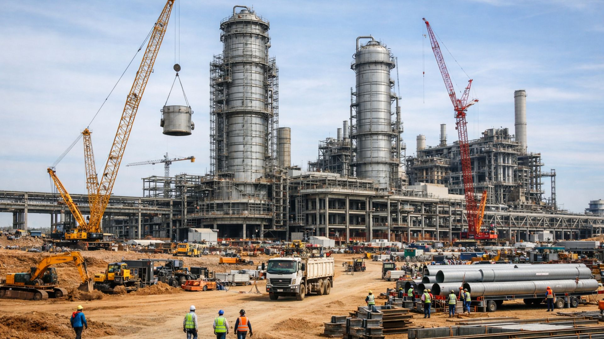
The largest pulp factory in the world is being built in Brazil for R$ 23 billion and promises 14,000 jobs; see how the construction is progressing, which will have 3.5 million tons/year, 400 MW of clean energy, and 400,000 hectares of eucalyptus.
-
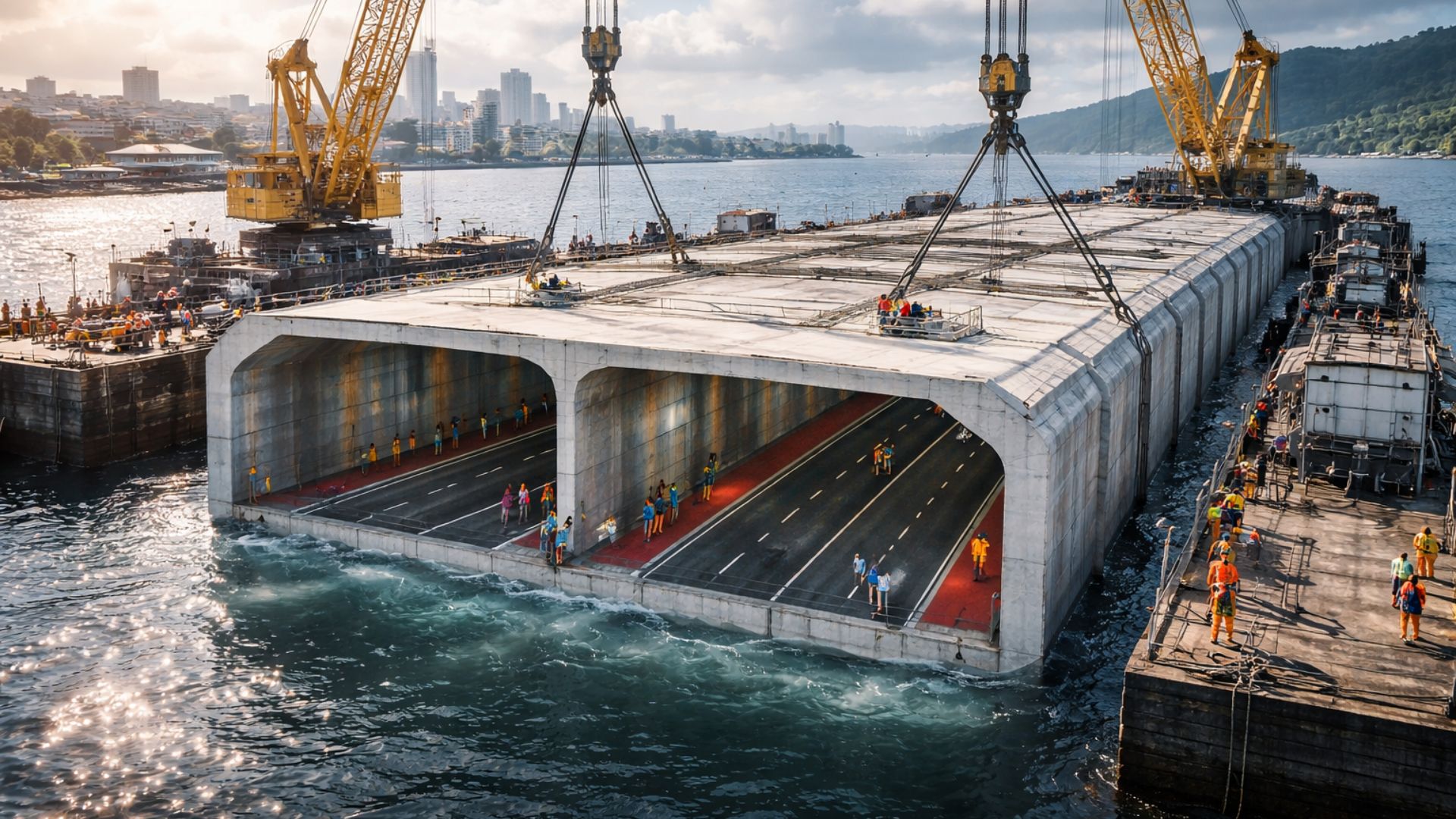
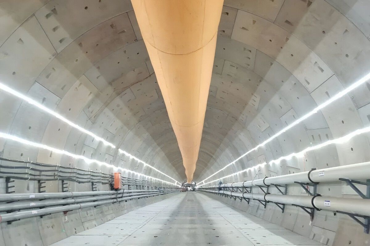
The first underwater tunnel in the history of Brazil will cost nearly R$ 7 billion, with R$ 5.2 billion in public funds, will reduce the crossing time to 5 minutes, and is progressing amid political disputes, obstacles from the TCU, and is scheduled for completion by 2031.
This gradual growth allowed the system to keep pace with the territorial and demographic expansion of the Kingdom of Benin, one of the most organized and influential in pre-colonial West Africa.
Throughout this period, new ditches were excavated, and old structures were expanded, creating an extremely complex network of territorial delimitation.
The system combined deep ditches and high walls for defense and organization
The engineering of the Benin Earthworks was based on a relatively simple but extremely effective principle: the excavation of deep ditches, the earth from which was used to form elevated embankments alongside.
This process created a double barrier — a moat and an elevation — that hindered external access and controlled the flow of entry and exit.
In some areas, the ditches reached several meters in depth, while the embankments formed true natural walls. The whole system functioned both as a defensive system and as a mechanism for territorial organization.
The enclosed area reached approximately 6,500 km²
In addition to the impressive linear extension, the system also delineated an area estimated at about 6,500 km², encompassing the capital and adjacent regions.
This dimension reinforces the character of a megastructure, as it was not just about protecting an urban core, but organizing an entire region under political and administrative control.
The scale of the project requires considering not only the volume of work involved but also the coordination necessary to execute the work over generations.
The volume of earth moved exceeds many known works of antiquity
Although there is no definitive single calculation, estimates indicate that the volume of earth moved to construct the Benin Earthworks exceeds that of several classical works of antiquity.
This data reinforces the importance of the system as one of the largest earth engineering projects ever carried out without the use of modern machinery.

The execution depended exclusively on human labor, simple tools, and a highly structured social organization. One of the most impressive aspects of the system is its persistence in the territory. Even after centuries of urban occupation, agriculture, and environmental changes, parts of the structures are still visible.
In satellite images, the vestiges appear as curved lines and green arcs, contrasting with the surrounding urban fabric. These marks are the result of vegetation that grows differently over the ancient embankments and ditches.
NASA highlighted that these patterns allow for the identification of the original extent of the system, even when much of the structures have already been partially degraded.
Urbanization and population growth reduced part of the original structures
Despite the original scale, much of the Benin Earthworks was impacted by urban expansion throughout the 20th century and the early 21st century.
Buildings, roads, and informal occupation led to the partial destruction of important sections of the system. In many cases, the structures were leveled or incorporated into the urban fabric without adequate preservation.
Still, significant segments remain intact, allowing for archaeological studies and remote sensing analyses.
The system reveals a high level of social organization and territorial planning
The construction of a structure of this extent requires more than just labor. The Benin Earthworks indicate the existence of a political system capable of mobilizing resources, coordinating activities, and maintaining long-term projects.
This reinforces the idea that the Kingdom of Benin had an advanced level of organization, with well-defined territorial planning and administrative control.
The work also demonstrates practical knowledge of engineering, adapted to local conditions and the needs of the time.

Despite its size, the Benin Earthworks are still little known outside academic and specialized circles. This contrasts with other historical structures that receive greater global attention.
Recent visibility in satellite images and scientific publications has contributed to increasing recognition of the system, but it remains underrepresented in the debate about great works of history.
Structures visible from space expand understanding of pre-industrial engineering
The fact that a work initiated over a thousand years ago is still identifiable from space reinforces the magnitude of the project. This type of evidence broadens the understanding of the reach of pre-industrial engineering.
The Benin Earthworks show that ancient societies were capable of executing territorial interventions on a scale comparable to some modern works, even without mechanized technology.
What do you think of this African megastructure that can still be seen from space?
The existence of a structure over 16 thousand kilometers long built centuries ago raises questions about how the history of engineering is told and recognized.
At the same time, the preservation of these vestiges depends on policies and initiatives that consider their historical and cultural value.
Now I want to know your opinion: do you believe that structures like the Benin Earthworks should receive the same level of global recognition as other more well-known historical works?


Seja o primeiro a reagir!