 Portuguese
  English
  Spanish
Extratropical Cyclone Causes Wind Chill and Surge Alerts Between SC and RJ. Temperatures Plummet and There Is Chance of Frost and Even Snow.
An extratropical cyclone that formed between Sunday (07/27) and Monday (07/28) is causing strong winds, intense cold, and changes at sea in various regions of the country.
The meteorological phenomenon originated off the coast of Rio Grande do Sul and, although it is drifting out to sea, its effects continue to impact the weather in the South and Southeast of Brazil throughout the week.
The Navy issued a surge alert until Thursday (07/31) for areas between Santa Catarina, São Paulo, and Rio de Janeiro, and meteorologists warn of the risk of frost and even the possibility of snow in the higher regions.
-
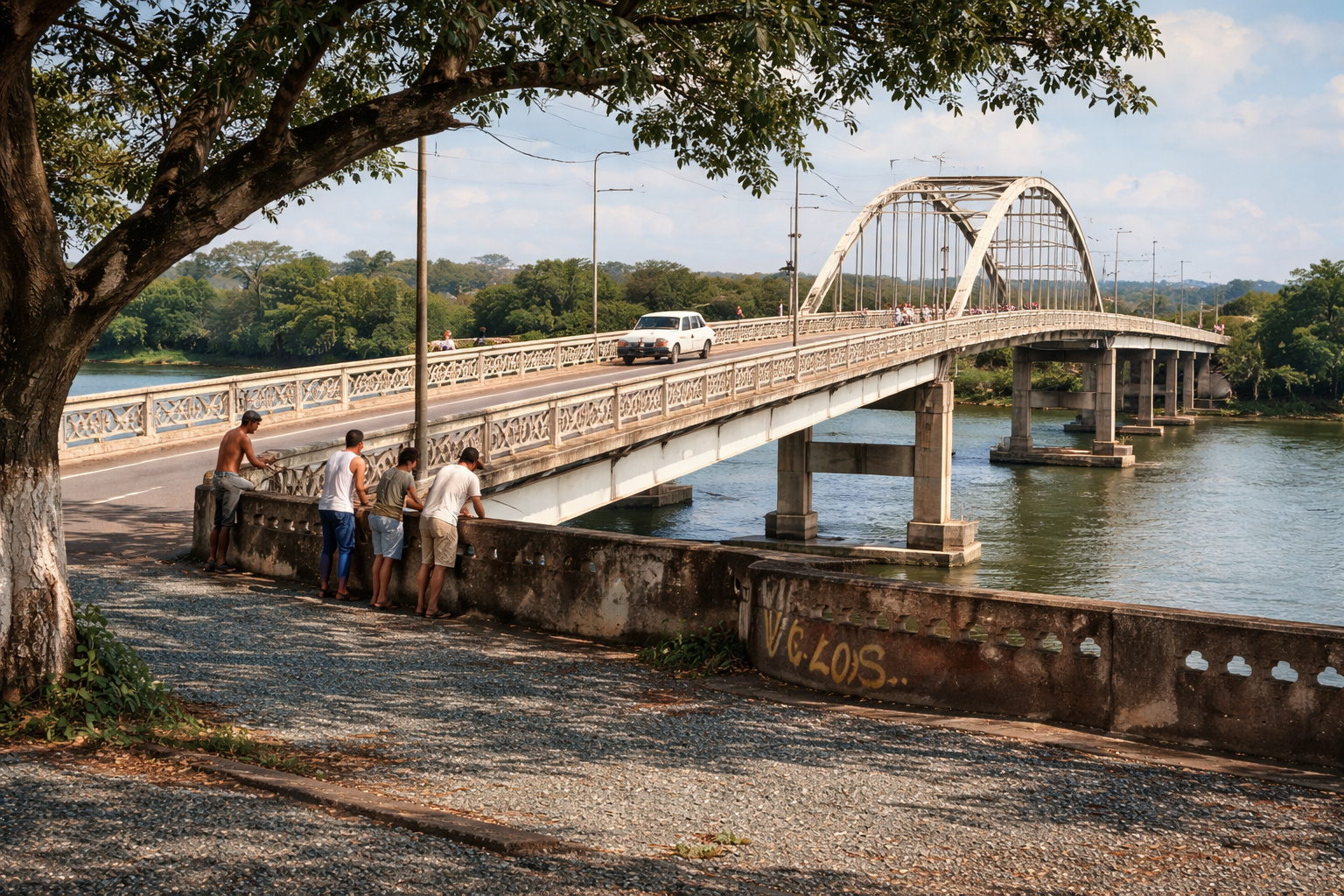
Families have been living for over 30 years under a bridge in Mato Grosso, revealing a housing deficit, irregular occupation in APP, and dependence on fishing as the main source of income.
-
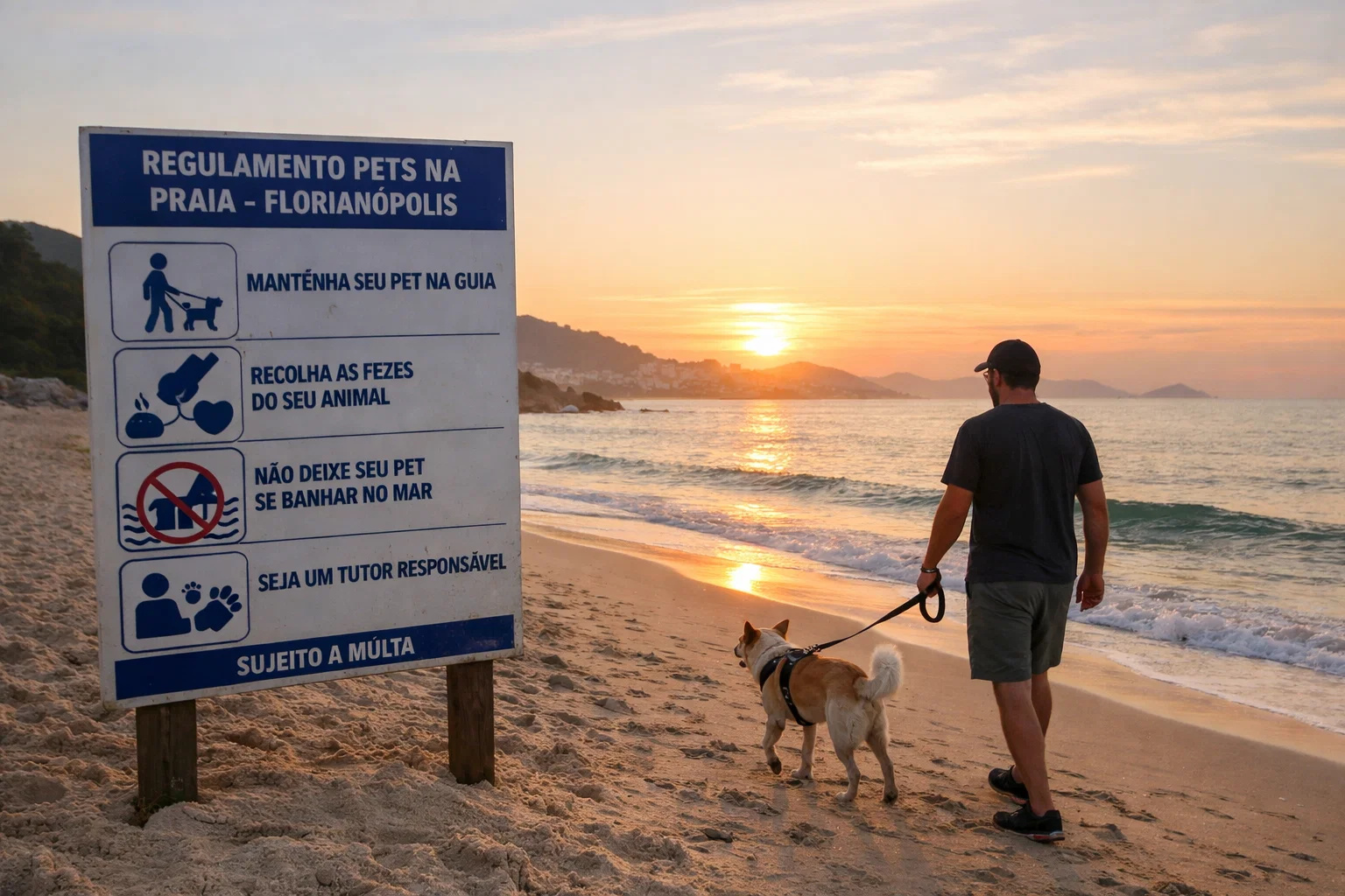
What Changed at Florianópolis Beaches? New Rule Surprises Pet Owners and Restricts Dogs on the Sand at Specific Times
-
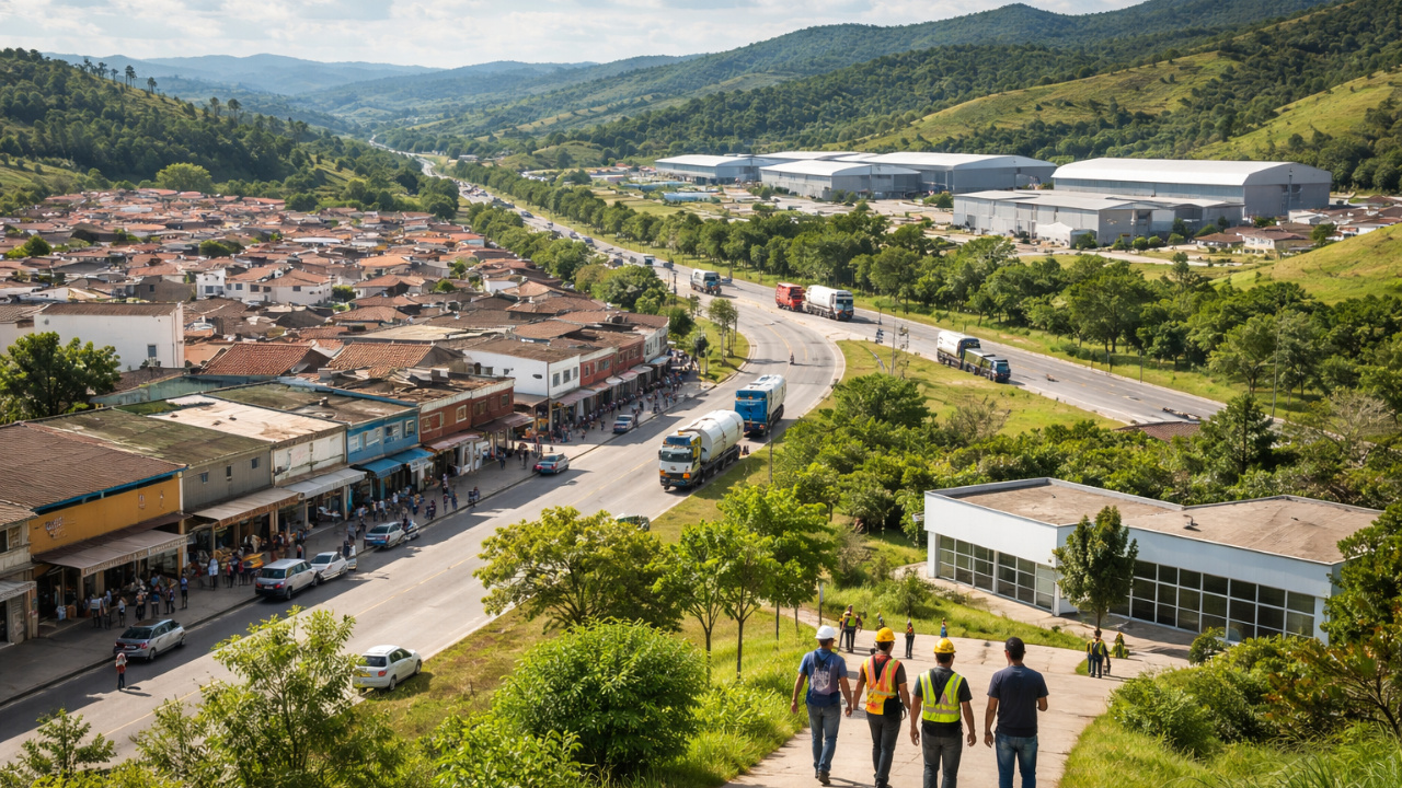
Economic Diversification Accelerates in Itatiaiuçu to Reduce Mining Dependence
-
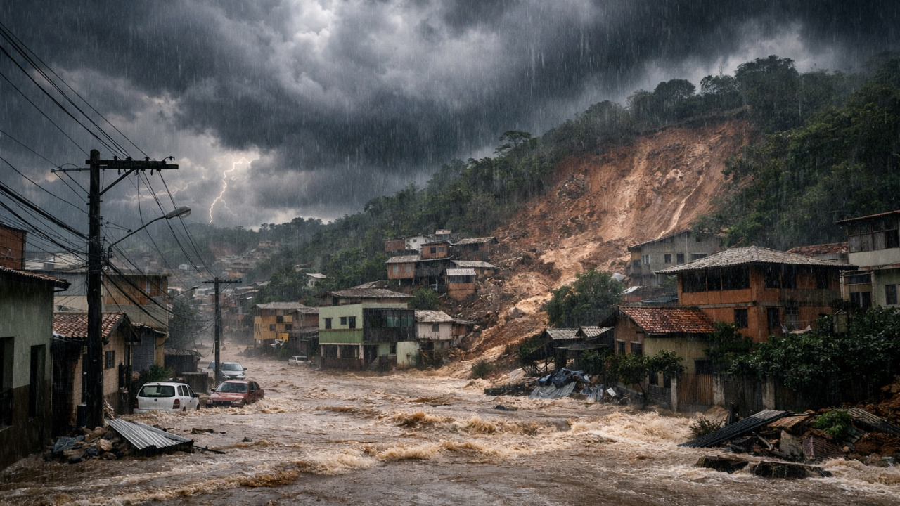
Extreme Rains: Cold Front, Supercell, and Atmospheric Trough Cause Tragedy in MG

Strong Winds and Rough Seas Put Coast on Alert
The cyclone brought extremely strong winds within the first hours of its formation. Cities like Canguçu (RS) recorded gusts exceeding 100 km/h, according to data from Climatempo.
The higher risk of strong winds was concentrated between the coast of Porto Alegre (RS) and the region of Santos (SP), where gusts of up to 100 km/h continued until Monday night.
The force of the cyclone also affected the sea. The Brazilian Navy issued a surge alert with waves that could reach 3.5 meters between Mostardas (RS) and Florianópolis (SC) until Wednesday (07/30). Meanwhile, in the stretch between Iguape (SP) and Macaé (RJ), the warning is valid from Tuesday to Thursday (07/31). Small vessels should avoid navigating in these areas.
Cold Spreads Across the South-Central with Historical Lows
Even with the cyclone moving away, the system continues to influence weather conditions. The cold air mass advancing across the country is causing a sharp drop in temperatures. According to meteorologist César Soares from Climatempo, the cold air is acting strongly in São Paulo, but it is also spreading through Rio de Janeiro and the Southern Region.
The expected lows for the coming days are impressive. In the Southern plateau of Santa Catarina, thermometers may register as low as -6 °C. Porto Alegre (RS) is expected to experience the coldest dawn of the year this Wednesday, with a low of 6 °C.
In Curitiba (PR), residents can expect 4 °C at the start of the day. In São Paulo (SP), neighborhoods further south are expected to record 5 °C. Even Rio de Janeiro will feel the effects, with a low of 16 °C on Tuesday.
Cyclone Will Continue to Influence the Weather Until the End of the Week
Although the center of the cyclone is moving toward the ocean, it still maintains its strength, especially over the Southern Region.
On the coast of Paraná and southern Rio de Janeiro, gusts may exceed 80 km/h. Moderate winds are also expected in the interior of São Paulo, in areas such as Campinas, and in the southern part of Minas Gerais and the Zona da Mata.
Vitória (ES) will not completely escape the system’s influence, with a forecast of moderate winds and rough seas throughout the week.
Rain and Temperature Drop in Capitals of the South and Southeast
Monday started with unstable weather and significant changes in several cities. In São Paulo, the day had rain and a high of 25 °C, but the forecast indicates a sharp drop in temperatures for the coming days: a low of 11 °C on Tuesday and 8 °C on Wednesday.
In Porto Alegre, rain persisted on Monday, with temperatures between 10 °C and 15 °C. From Tuesday, the sky will clear, but mornings will remain chilly. Curitiba will experience one of the coldest mornings of the year, and the cold will be felt more intensely between Tuesday and Wednesday.
Chance of Snow and Frost in the South and Interior of SP and MG
With the combination of intense cold at altitude and humidity brought by the cyclone, meteorologists do not rule out the chance of isolated snow still on the night of Monday in the higher areas of Santa Catarina. The phenomenon, although rare, can occur due to the polar air mass associated with the system.
Additionally, there is a high risk of frost in various regions. The mornings of Tuesday and Wednesday are expected to register the lowest temperatures of the year in the South of Brazil, with frost possible even in areas of the interior of São Paulo, southern Minas Gerais, and Mato Grosso do Sul.
Cold Will Relent Only in August
According to forecasts, the cyclone begins to weaken starting Thursday (07/31), but the cold remains. The beginning of August will still be marked by low temperatures, especially in the South-Central region of the country.


-

-

-

6 pessoas reagiram a isso.