Portuguese
  Spanish
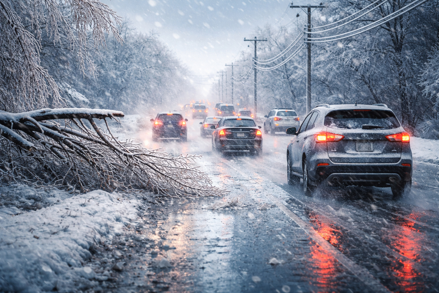
A rare climatic phenomenon with ice and snow storm in the United States has generated curiosity and alerts for slippery roads and a high risk of power outages
An ice storm combined with snow in the United States has begun to worry the population of Minnesota and the world due to an unusual detail. The climatic system mixes snow, rain, ice, and freezing rain at the same time, something considered a rare climatic phenomenon in various regions.
The result can turn streets and highways into extremely slippery surfaces. The accumulation of ice also increases the risk of falling tree branches, power outages, and difficulties for those who need to travel.
The report was published by the National Weather Service, the agency responsible for weather forecasts and climate alerts in the country.
-
Thailand Converts 8 Tons of PET Bottles into 3,500 School Backpacks, Showcasing Circular Economy with Over 40 Factories Involved

-
Mysterious Bats Spotted in Paris’s Père Lachaise Cemetery, Drawing Tourists to the “Vampire Cemetery”

-
From Selling Street Food to Leading a $300 Million Construction Firm: The Journey of a Brazilian Entrepreneur

-
Abandoned Penthouse in Houston Reveals Million-Dollar Suite with 24-Karat Gold, Tiffany Crystals, and Opulence Even Elvis Might Have Snubbed


Ice storm can make roads dangerous and hinder travel
The typical mixture of precipitation from an ice storm with snow in the United States is expected to hit several areas at the same time. The phenomenon occurs when different temperature layers in the air cause water to fall in various forms.
Part of the precipitation reaches the ground as snow, another part turns into small ice pellets, and at times freezing rain freezes upon touching the ground. This process creates a smooth layer that can turn asphalt into a very slippery surface.
The most immediate effect appears on highways and city streets. Travel can become dangerous, especially in the early morning hours when many people leave for work.
Rare climatic phenomenon mixes four types of precipitation
What stands out in this episode is the combination of several types of precipitation in the same climatic system. The ice storm associated with snow in the United States involves four different forms of water falling from the sky.
Among them are traditional snow, regular rain, small ice pellets known as sleet, and the so-called freezing rain.

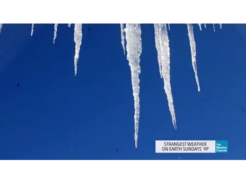
Freezing rain is intriguing because the liquid appears to be normal water during its fall. Upon touching the ground, poles, cars, or trees, the water freezes immediately and forms a transparent layer of ice.
This detail transforms sidewalks, stairs, and driveways into slippery surfaces, increasing the risk of falls and accidents.
Ice accumulation can bring down branches and affect power lines
The formation of ice also brings another important impact. When frozen water begins to accumulate on trees and power lines, the weight increases rapidly.
This additional weight can break tree branches and damage power lines, causing power outages in some areas.
The situation often worsens when ice forms over several consecutive hours. Successive layers can cover streets, cars, and vegetation.
The scenario reinforces the alert for those who need to leave their homes. Walking on stairs, sidewalks, and driveways requires extra caution, as these surfaces can become completely covered in ice.
Snow can accumulate in various regions during the storm
The same weather front also brings snow accumulation in various regions of the United States. In areas further north, the amount of snow may be greater.
Meanwhile, locations further south may receive less snow and more rain mixed with ice. Small changes in the path of the cold front can alter the type and amount of precipitation.
The information was again released by the National Weather Service, responsible for monitoring the advancement of weather conditions and issuing alerts to the population.
New weather system may bring more snow and ice in the coming days
After the first round of precipitation, the forecast indicates the arrival of another weather system with the potential to bring more snow and ice.
This second episode may maintain the mixing pattern of precipitation, repeating the scenario of ice storm associated with snow in the United States.
Small changes in the trajectory of the cold front can alter the volumes and type of precipitation. For this reason, constant updates to the forecast are considered essential.
Phenomenon sparks curiosity because it almost never happens in Brazil
The ice storm observed with snow in the United States also sparks curiosity among Brazilians because this type of event practically does not occur in Brazil.
The country has a warmer climate in most of its territory. The conditions necessary to form freezing rain and extensive layers of ice on the streets almost never appear.
For this reason, episodes like this end up attracting attention as rare climatic phenomena, especially when they mix different types of precipitation in the same system.
The combination of snow, ice, and freezing rain shows how the climate can create extreme situations in some parts of the planet.
Have you ever imagined walking on a street completely covered in ice or driving on a road that turned into a slippery track? Tell us in the comments what you think about this phenomenon.