 Portuguese
  English
  Spanish
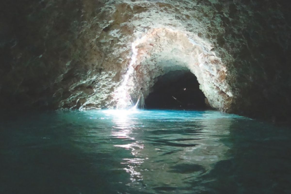
In 2011, Scientists Proposed the Existence of a Colossal Subterranean Water Flow Under the Amazon Basin, Parallel to the Famous Amazon River. Meet the “Hamza River” and the Controversies Surrounding It.
The majestic Amazon River, known for its volume and global importance, may have an enigmatic “twin” running deep beneath its feet: the so-called “Hamza River”. Announced in 2011, this proposed subterranean system is said to have continental dimensions, following a course parallel to that of the Amazon River.
But what exactly is the Hamza? Is it a river in fact, or a vast aquifer? This discovery generated both fascination and debate within the scientific community. Let’s explore the characteristics, the scientific basis, and the controversies surrounding this hidden giant flowing beneath the Amazon River.
The Discovery of the “Hamza River”: A Subterranean Flow Under the Famous Amazon River
The identification of the Hamza system was announced in August 2011 during the 12th International Congress of the Brazilian Society of Geophysics. The research was conducted by a team led by Valiya Mannathal Hamza, a scientist from the National Observatory, and Elizabeth Tavares Pimentel, then a doctoral student at the Federal University of Amazonas (UFAM).
-
At 73.8 meters tall, the world’s tallest teapot-shaped building has 15 floors, ensures stability, and impresses with an internal space of 28,000 cubic meters.

-
Ambev has planted over 3 million trees and restored an area equivalent to the coastline from São Paulo to Natal, and the result after 15 years of silent investment has finally appeared for all of Brazil to see.

-
A new AI collar technology for cattle eliminates physical fences, creates virtual barriers, monitors animals 24/7, and detects changes in behavior and health.

-
For a few weeks each year, an entire country blooms with billions of tulips, creating a mosaic of colors visible from the sky, while a single garden gathers more than 7 million flowers and attracts visitors from around the world to one of the most impressive shows in Europe.


The basis for the discovery was temperature data from 241 deep oil wells, drilled by Petrobras in the Amazon Basin, mainly during the 1970s and 1980s. The designation “Hamza River”, a tribute to the researcher, is not an official geographic name, reflecting its status as a scientific proposition still under discussion.
Proposed Characteristics of the Hamza

The Hamza system, as described, would have impressive dimensions. It is estimated to have a length of approximately 6,000 km, running from west to east beneath the Amazon River basin, at an average depth of nearly 4,000 meters. Its width could range between 200 and 400 km, surpassing that of the Amazon River in many stretches.
Despite its vastness, its hydrological dynamics are quite distinct. The estimated flow rate is around 3,000 to 3,900 m³/s, only 2-3% of the discharge of the Amazon River. More notably, the flow speed of water in the Hamza would be extraordinarily slow, comparable to that of a glacier (10 to 100 meters per year), occurring as percolation through porous sedimentary rocks, rather than in an open channel.
The “Hamza River” in Debate: Scientific Controversies and the Issue of Correct Terminology
The main scientific controversy surrounding the Hamza lies in its classification as a “river”. Many geologists and hydrogeologists argue that the term is inadequate, as the described phenomenon – slow and diffuse flow through porous media – corresponds to the definition of an extensive deep aquifer system, very different from conventional subterranean rivers found in karst terrains.
Skepticism also extends to the methodology, which relies on indirect evidence (temperature anomalies) from a limited number of wells to define a continental-scale system. Additionally, the salinity of Hamza’s water is a point of debate: some reports indicate high salt content, while others suggest a fresh origin, which would directly impact its interaction with the ecosystem of the Amazon River and the Atlantic Ocean.
What Would the Existence of the Hamza Mean for the Amazon River Basin?
If the existence of the Hamza system with the proposed characteristics is confirmed, a significant revision of the water balance of the Amazon Basin would be necessary. It would represent an important component in the transport of water in the region, influencing the understanding of local hydrogeology and potentially the interactions with shallower aquifers and the Amazon River itself.
The implications for the Atlantic Ocean, where the Hamza supposedly drains, would also crucially depend on the salinity of its waters. Resolving these mysteries and understanding its recharge and discharge mechanisms are fundamental to assessing its real role in the Earth’s system.
The “Hamza River” Today: Between an Intriguing Scientific Hypothesis and Popular Fascination

More than a decade after its announcement, the “Hamza River” remains more in the realm of an intriguing hypothesis than a universally accepted scientific fact. The absence of robust follow-up studies and independent validation in peer-reviewed scientific literature means that many fundamental questions remain unanswered.
The saga of the Hamza highlights the complexity of investigating the vast and inaccessible underground domains beneath the Amazon River basin. Regardless of its final classification, the initial research has sparked interest in the deep hydrogeology of the Amazon, underscoring the importance of rigorous science and independent verification in exploring the frontiers of our planet.


-

-

-

-

4 pessoas reagiram a isso.