 Portuguese
  English
  Spanish
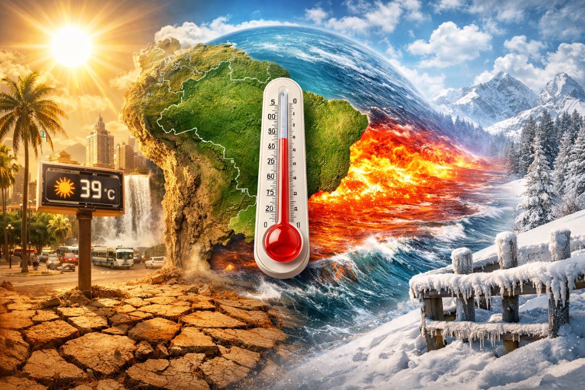
The climate in April 2026 combines above-average heat in the central-south, irregular rains, and a risk of frost in the mountains, while El Niño strengthens in the Pacific Ocean with a probability greater than 80% of consolidating in the second half, pointing to significant climate changes starting from winter.
April 2026 has begun, and the climate in Brazil is already showing signs that this will not be an ordinary month. According to the portal ndmais, the heat is above the historical average in the central-south of the country, the rains arrive irregularly, and El Niño, which is not yet directly affecting Brazil, already shows clear signs of intensification in the Pacific Ocean. According to the latest projections from NOAA, the probability of the phenomenon forming exceeds 80% in the second half of 2026, making April a month of transition between the current climate neutrality and a scenario of significant changes.
But heat is not the only protagonist. In the Serra Catarinense and in mountainous cities of Rio Grande do Sul, the temperatures may plummet to between 8 and 10°C by dawn already in the second week of April, with a risk of frost on the 9th, according to meteorologist Piter Scheuer. Brazil is therefore experiencing an April of extremes: intense heat at the beginning of the week, a sharp drop in temperature days later, and an El Niño that silently strengthens while all this happens.
Above-average heat and few cold fronts: what to expect in the first half
The climatic behavior of the first weeks of April is influenced by more than one factor. In addition to the warming of the Pacific Ocean preceding El Niño, the Antarctic Oscillation also comes into the radar of meteorologists.
-
A barrier made with hair strands is used to clean the Guanabara Bay and employs simple technology to contain oil and waste.

-
The oceans are darkening all over the planet – what is happening?

-
An engineer designs a solar plane to fly on Mars at an altitude of 1,000 meters and a speed of 300 km/h, covering 16,000 kilometers in a Martian year, 900 times the distance traveled by the Ingenuity helicopter in three years on the planet before experiencing a rotor failure, and NASA is already funding the feasibility study.

-
A new phenomenon of contactless magnetic friction intrigues scientists and questions a theory that has been valid since the 17th century.


The latest data show a trend of neutral to positive values of this index throughout the first half, which, in practice, reduces the frequency of systems such as cold fronts and cyclones in the southern part of the country.
With fewer cold fronts arriving, the established pattern is of drier weather and elevated temperatures in much of the central-south. Heat predominates on Monday (6) and Tuesday (7), with maximums well above what is expected for the period.
This scenario favors episodes of intense heat and increases thermal discomfort, especially in the South, Southeast, and Central-West regions. While El Niño is not yet directly acting, it is the combination of the Antarctic Oscillation with the overall warming of the atmosphere that keeps the heat persistent at the beginning of April.
Frost in the mountains and a sharp drop in temperature in the second week
Despite the dominant heat, a significant change is expected for the second week of April. According to meteorologist Piter Scheuer, starting Wednesday (8) or Thursday (9), temperatures will begin to gradually fall, with a sharp decline possible.
In the Serra Catarinense, there is a chance of frost being recorded on the morning of April 9. In Rio Grande do Sul, the minimums may register between 8 and 10°C at dawn in mountainous cities.
This oscillation between extreme heat and sudden cold is characteristic of the autumn period in Brazil, but it gains an additional component in 2026.
With El Niño strengthening in parallel, meteorologists warn that this year’s winter is likely to record above-average temperatures, with shorter incursions of cold interspersed with warming periods. In other words, the cold episodes in April may be among the few truly intense ones before the heat of El Niño fully imposes itself.
How will the rains be in each region of Brazil in April
Meteorological simulations indicate that precipitation tends to occur irregularly across almost the entire national territory.
In the North, the trend is for reduced rainfall compared to the usual pattern. In the Northeast, the forecast indicates above-normal rainfall, influenced by the action of the Intertropical Convergence Zone. In the Southeast, the volumes are expected to remain within the historical average for April, which represents a natural decrease compared to previous months.
In the South, the scenario is one of alternation between dry periods and episodes of more intense rain. This irregular pattern already begins to reflect the indirect influence of Pacific warming, even though El Niño is not yet formally established.
For Santa Catarina, the 240th Santa Catarina Climate Forum projects rainfall between normal and below average in April and May, with a significant increase in volumes only in the second half, when El Niño is consolidated. This is the typical pattern: the phenomenon begins by altering the Pacific and gradually reorganizes the rainfall patterns over Brazil.
El Niño is already on the radar, and NOAA raises the probability to over 80%

image: Surfer Today/NOAA/ND mais
While April brings heat and irregular rains, El Niño strengthens in the Pacific Ocean. The Niño 1+2 region, near the coasts of Peru and Ecuador, already registers sea surface temperature anomalies of up to +1°C, indicating the presence of an ongoing Coastal El Niño.
According to NOAA, the probability of El Niño formation jumps to 62% between June and August, reaches 80% between August and October, and hits 83% in the October to December quarter.
The APEC Climate Center, a research center based in South Korea, indicates an 84.6% probability of transitioning to El Niño conditions already in the April-May-June quarter.
Inmet closely monitors updates and indicates that, if the scenario is confirmed, El Niño will primarily influence the end of winter and spring in Brazil. The expectation is for an event that is at least moderate to strong, with a rapid onset and similarities to the El Niño of 2023, which contributed to 2024 being the hottest year on record.
Historically, El Niño is associated with significant changes in Brazil’s climate pattern: increased rainfall in the South, drier periods in the North and parts of the Northeast, more frequent heat waves in the Southeast and Central-West, and elevated temperatures in various regions.
The phenomenon does not cause a specific extreme event but increases the likelihood of certain weather patterns that directly affect agriculture, water supply, and the risk of natural disasters.
What El Niño may bring for the second half of 2026
If the projections are confirmed, the second half of 2026 may repeat a well-known pattern. In the South, El Niño tends to increase the frequency and volume of rainfall, raising the risk of flooding, flash floods, and inundations, especially in spring, between September and November.
In Santa Catarina, meteorologists from the Santa Catarina Climate Forum have already warned that heat and moisture transport from the Amazon may anticipate the formation of storms for the end of winter.
In the North and Northeast, the scenario is the opposite: El Niño brings reduced rainfall, severe droughts, and an increased risk of wildfires. In the Southeast, the forecast is for large, frequent, and intense heat waves, in a pattern similar to that observed in 2023.
Winter is likely to be less severe, with shorter incursions of cold air interspersed with warming periods, which is typical behavior in El Niño years. April, therefore, consolidates as a month of transition: the last gasp of normalcy before El Niño reorganizes Brazilian climate.
Have you felt the unusual heat this April?
April 2026 is a month of contrasts: above-average heat, risk of frost in the mountains, irregular rains, and an El Niño that strengthens in the Pacific with a probability greater than 80% for the second half. What happens in the coming months could define Brazil’s climate pattern until the beginning of 2027.
And you, have you felt this unusual heat in your city? Are you worried about what El Niño may bring for the rest of the year? Share in the comments how the weather is in your region.


Seja o primeiro a reagir!