 Portuguese
  English
  Spanish
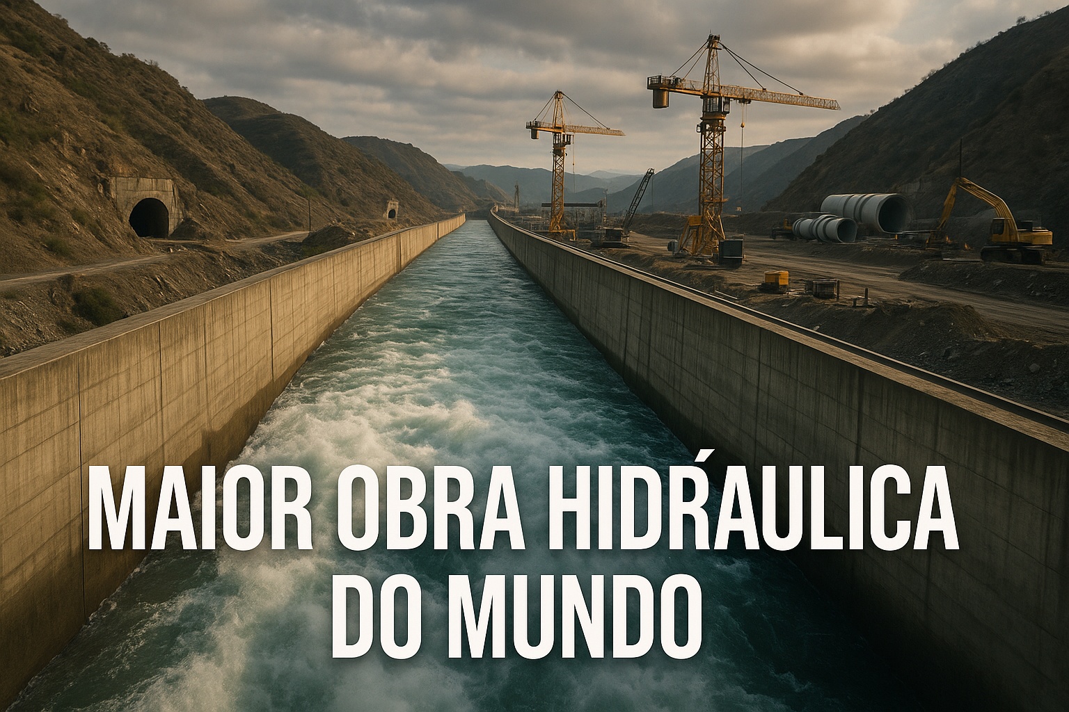
The Largest Hydraulic Work in Modern History, With Over 1,200 km and US$ 70 Billion Invested, Redirects Rivers to Supply 120 Million People and Redefine Water Security in Asia. Check Out the Details of the South-North Water Transfer Project.
Few infrastructure projects on the planet carry the historical, political, and technical weight of a work capable of altering geography, changing millennia-old river courses, and redrawing the water map of a continental nation. In the northern hemisphere, an artificial water corridor snakes through mountains, valleys, and cities, traversing underground tunnels, cutting through agricultural plains, and imposing itself as one of the largest human interventions ever carried out in the environment.
With over 1,200 km on a single axis, an expected expansion to exceed 3,000 km in the complete system, a budget that surpasses US$ 70 billion, and a direct impact on about 120 million residents, this megaproject has become a landmark of contemporary engineering and a symbol of how a society can mobilize gigantic resources when water scarcity threatens its very future.
The Work of the South-North Water Transfer Project That Opened Mountains to Transport Water
The original challenge was clear and brutal: highly populated agricultural and industrial regions faced decades of periodic drought, while areas further south concentrated most of the major rivers and reservoirs.
-
This is the cost to build a simple 60 m2 house in 2026, including contingencies, foundation, finishing, labor, and hidden fees.

-
Amphibious houses with a floating dock system gain global attention by revealing technology that allows homes to rise with floods and avoid losses in high-risk areas.

-
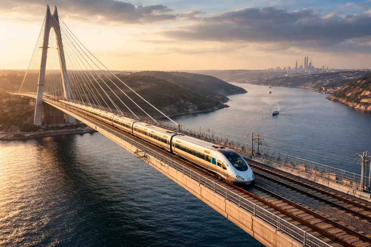
Between tunnels, bridges, and billions in investment, Istanbul is preparing to receive a 125-kilometer railway that crosses continents, enhances the circulation of goods and passengers, and changes the strategic outlook of Turkish transportation.
-
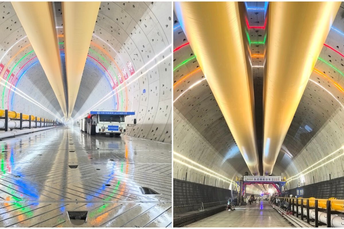
China completes the most critical section under the Yangtze River with the intelligent tunneling machine Linghang, excavating 11.32 continuous kilometers at depths of up to 89 meters and transforming the Chongming-Taicang tunnel into a landmark that redefines the scale of high-speed rail engineering in the 21st century.

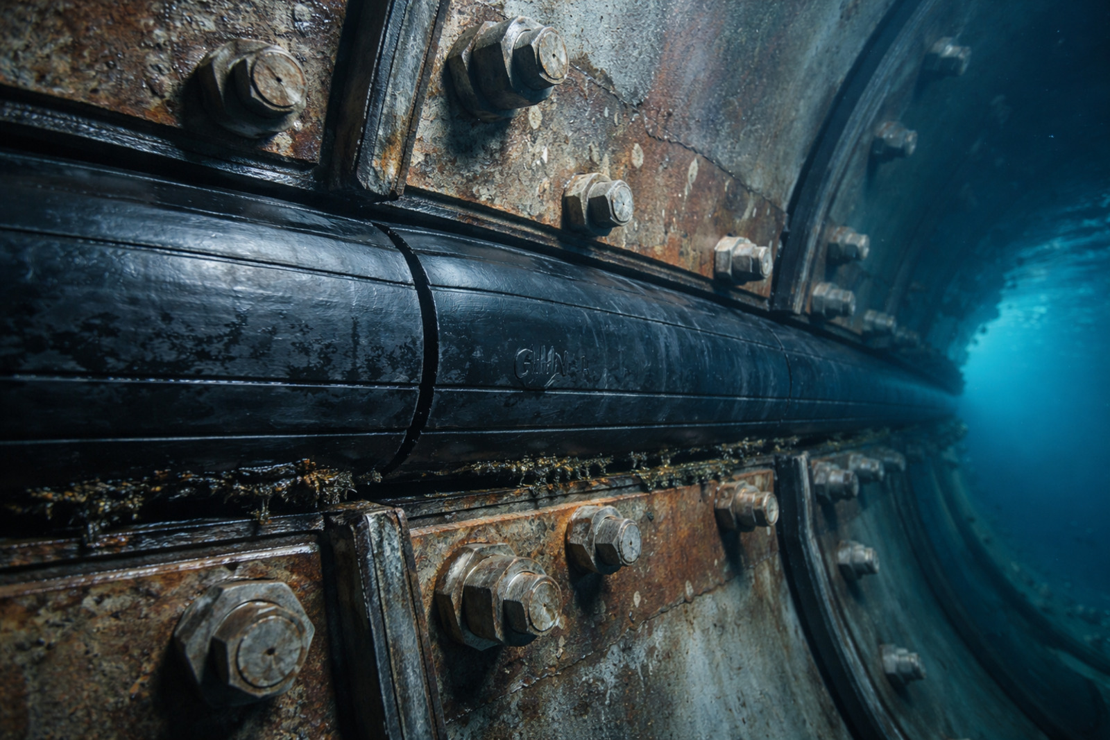
The solution, conceived in the 1950s and finally initiated in 2002 with government support and long-term planning, was to create a permanent, scalable water route capable of supplying millions of cubic meters of water per day. Concrete troughs, high-capacity channels, intermediate reservoirs, and cyclopean tunnels were executed with precision.

One of these tunnels exceeds 40 km in length, crossing the underground of rocky massifs that, until recently, were considered insurmountable natural barriers.
In total, the complete system mobilized tens of thousands of workers, more than a decade of continuous work, and advanced containment and pumping technology.
At the peak of construction, official estimates indicate over 40,000 workers distributed along the sections simultaneously, operating excavators, drillers, and hydraulic control systems in continuous shifts.
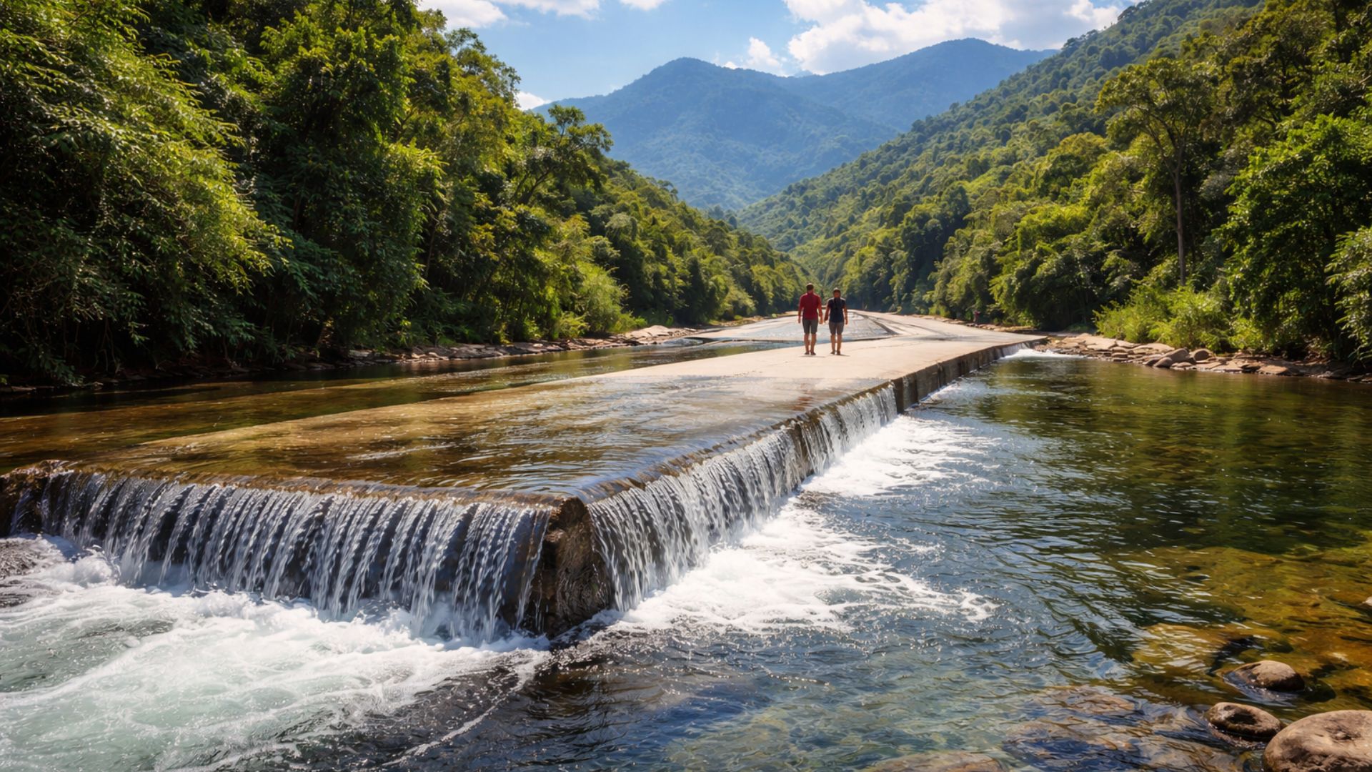
The overall architecture combines gravity, open channels, and strategic pumping sections to overcome height differences and maintain a constant flow towards major consuming centers.
Water Infrastructure That Fuels Cities, Industries, and Plantations
The system not only connects regions; it redefines a development model based on water security. Densely populated capitals now enjoy a stable supply for human consumption, industrial food production, and agricultural irrigation. In rural areas, vast productive belts were revitalized, boosting the production of grains, vegetables, and fruits in areas previously threatened by drought.
At the same time, high value-added industrial complexes received a guarantee of supply essential for chemical, steel, and electronic processes.
This set of impacts transformed the work into a long-term strategic piece. In public assessments, authorities highlighted that the water transfer protected the economy and avoided social risks associated with severe water crises, common in periods of prolonged drought. The project, although a target of environmental debates, became a concrete and functional response to the hydrological risk faced by millions of people.
Climate Change, Growing Consumption, and the Challenge of Balancing Need and Conservation
The advance of global warming has intensified extreme phenomena, including regional droughts. This scenario accelerated the megaproject’s timeline and raised its strategic importance.
With urban and industrial consumption continuously rising, the work has become an essential part of a modern water matrix capable of ensuring resilience in the face of unpredictable climatic cycles.
However, environmental experts have highlighted relevant issues: the relocation of communities, impact on local ecosystems, and the need for riverine rebalancing. As a countermeasure, reforestation programs, hydrological monitoring, and erosion control were included in the later phases of execution.
Environmental data released by Chinese research organizations indicate gradual improvements in water quality along the most critical sections after operational adjustments and stricter environmental policies.
A Global Engineering Feat Under the Watchful Eyes of the Planet
The technical grandeur did not go unnoticed. Engineers, urban planners, and international authorities visited sections of the system, highlighting the historical nature of the work.
Universities and research centers have transformed its model into a global case study for water management in populous countries vulnerable to water stress.
At climate conferences and infrastructure forums, the project is frequently cited as one of the largest water interventions since the construction of major Roman aqueducts and the dams that defined the 20th century.
Even with billion-dollar investments and complex execution, new phases are still planned to increase capacity and expand secondary sections. The next stages include energy optimization and greater integration with advanced monitoring systems, remote sensors, and artificial intelligence applied to flow control and hydrological forecasting.
The Megainfrastructure That Defines the Priorities of a Continental Country
In a world where the competition for water resources is likely to grow, the work symbolizes the materialization of long-term planning.
Every kilometer excavated, every tunnel drilled, and every cubic meter pumped represents a strategic bet: ensuring water security, feeding megacities, sustaining productive zones, and ensuring national resilience in the face of the most challenging century for natural resources.
The water corridor has proven to be more than cement and concrete. It has become a vital axis for the economic, social, and industrial continuity of an emerging power. There, among valleys, dams, and submountain tunnels, lies a monumental reminder that when water defines the fate of millions, no effort is too small, and no work is too great.


-

-

-

-

-

24 pessoas reagiram a isso.