 Portuguese
  English
  Spanish
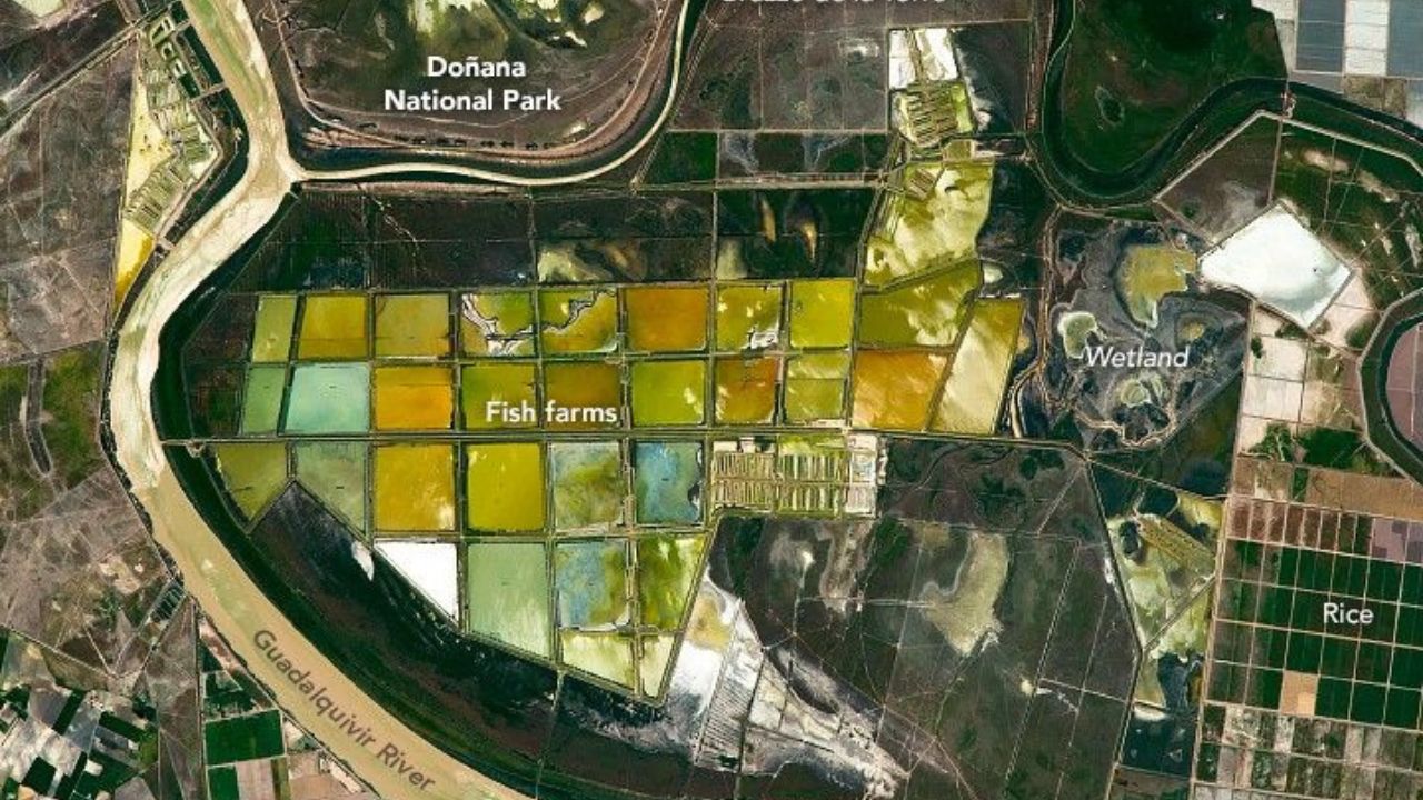
In southern Spain, 36,000 hectares of rice fields and fish farms form a geometric mosaic visible from space and reveal one of the largest agro-hydraulic systems in Europe.
In analyses released by the NASA Earth Observatory, images captured by astronauts revealed one of the most impressive productive patterns in southern Spain: the geometric mosaic formed by aquaculture ponds and rice fields in the lower delta of the Guadalquivir River, in the Andalusia region. The area, concentrated in a section of Isla Mayor, features a succession of perfectly aligned rectangles, delineated by channels and dikes, extending across large swathes of the wetland. Viewed from space, the landscape resembles a highly precise technical drawing, something rare in systems shaped by the interaction between productive activity and the natural environment.
What makes this scenario even more relevant is that it is not only visually striking. According to the official NASA publication, the larger and multicolored rectangles correspond to fish farms, while the smaller and darker rectangles identify the rice fields, composing a large-scale productive system installed in one of the most important wetlands in Europe, near the surroundings of Doñana.
System occupies more than 36,000 hectares and places the region among the largest rice producers in Europe
The Guadalquivir delta hosts one of the largest continuous rice cultivation areas in Europe. Estimates from Spanish agricultural bodies indicate that the area dedicated to cultivation exceeds 36,000 hectares, concentrating about 40% of Spain’s rice production.
-
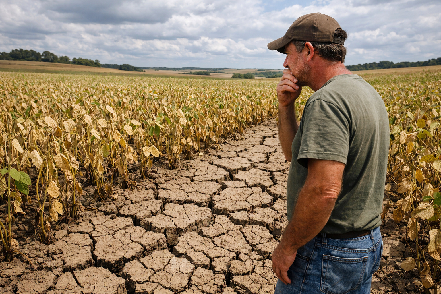
Dry weather accelerates soybean harvest, but threatens to devastate crops in Southern Brazil: losses already reach 50.4% and the climate scenario raises maximum alert for producers in 2026.
-
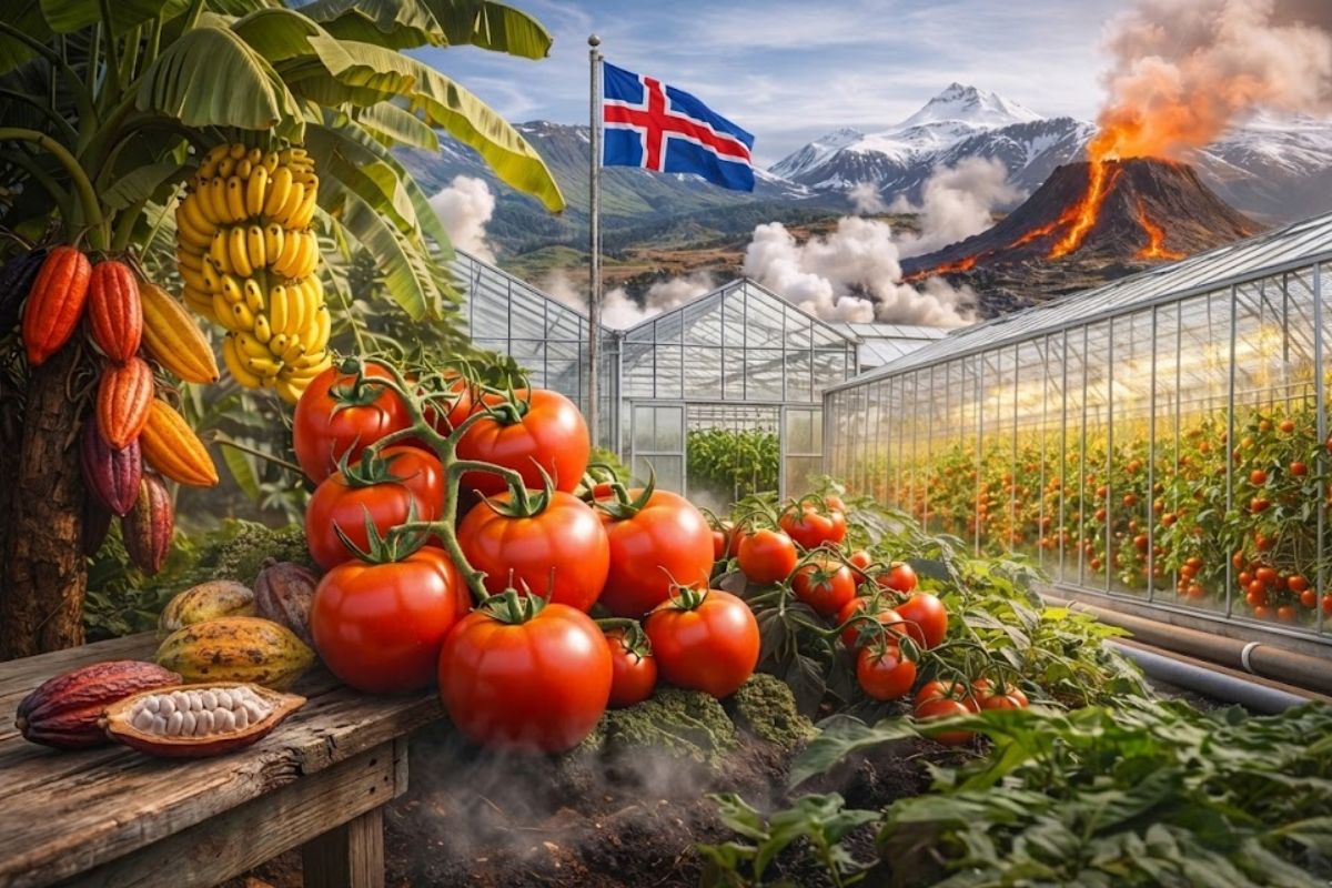
Iceland uses the heat from its volcanoes to grow tomatoes as good as Italian ones, tropical bananas, and even cocoa near the Arctic Circle, where the temperature barely exceeds 12 degrees, and almost 70% of the tomatoes consumed are already produced there.
-
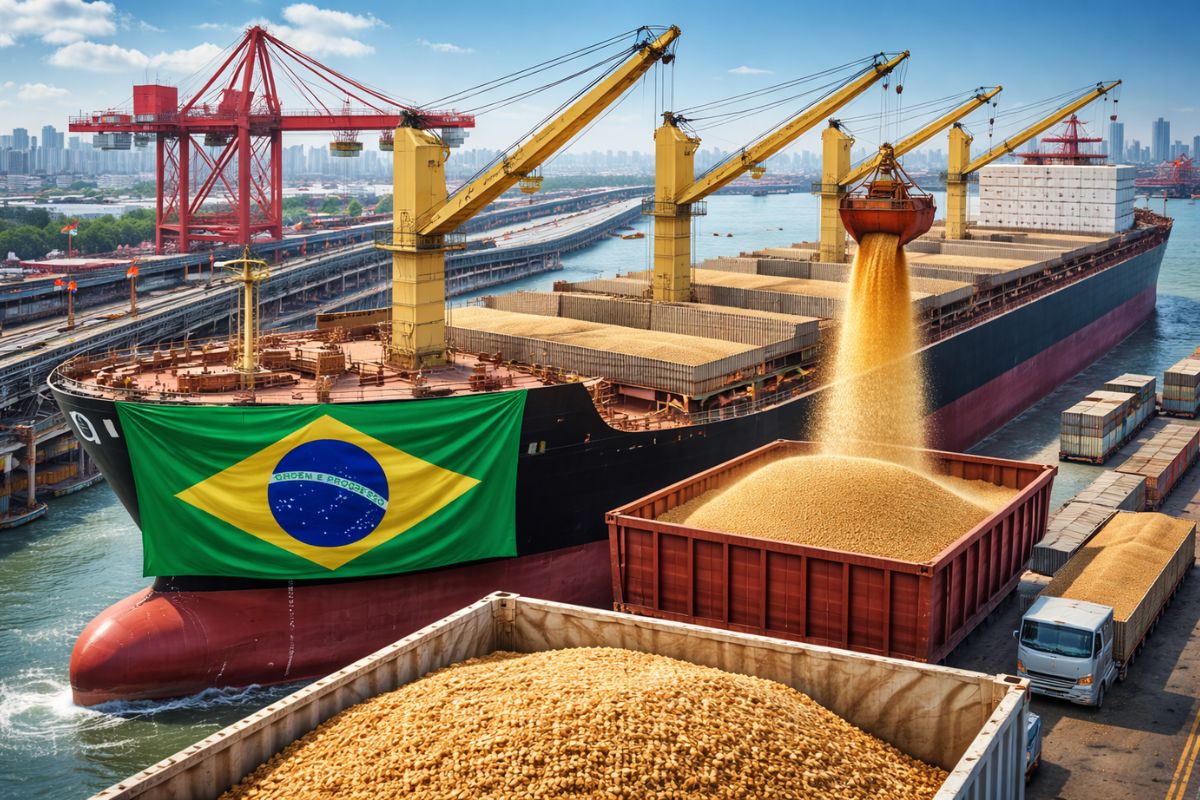
Brazil sends unprecedented product to China and a ship with 62 thousand tons has already arrived at its destination: a new billion-dollar market opens for Brazilian agribusiness.
-
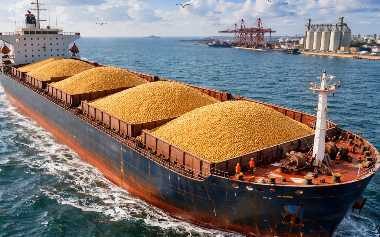
Even with logistical challenges, Brazil exports 17.1 million tons of grains and reinforces its global prominence.
The average productivity of the region varies between 7 and 9 tons per hectare, depending on climatic conditions and water management throughout the season. This positions the delta as one of the most efficient zones in Europe in terms of production per area.

In addition to rice, parts of the region are also used for fish and crustacean farms, creating a hybrid system that combines agriculture and aquaculture. These farms appear in satellite images as dark rectangles, contrasting with the lighter tones of the rice fields.
The scale of the operation is so large that, during certain times of the year, the region can be completely flooded, transforming into a vast sheet of artificially controlled water.
Network of channels, dikes, and sluices controls water flow on an industrial scale in the delta
The operation of this system depends on a highly complex hydraulic infrastructure. The delta is crossed by an extensive network of artificial channels that capture water from the Guadalquivir River and distribute it in a controlled manner to the fields.
These channels are connected to sluices and dikes that allow for precise regulation of water levels. This control is essential for rice cultivation, which requires continuous flooding during much of the production cycle.
The system also needs to deal with the influence of ocean tides from the Atlantic, as the delta is near the river’s mouth. To prevent the entry of saline water, containment structures are used to maintain the water quality suitable for agriculture.
Furthermore, water management is adjusted throughout the year. During planting, the fields are flooded; in the growth phase, the water level is kept stable; and during harvest, complete drainage of the cultivated areas occurs.
This cycle creates striking visual variations that are captured by satellites, resulting in patterns that change in color and texture throughout the seasons.
Integration with protected areas places the system within one of the most important ecological zones in Europe
A unique feature of the Guadalquivir delta is its proximity to the Doñana National Park, one of the most important wetlands in Europe and recognized as a World Heritage Site by UNESCO.
This proximity creates a direct interaction between agricultural activity and natural ecosystems. The flooded rice fields serve, at certain times, as feeding areas for migratory birds, including species coming from Africa and northern Europe.
Ecological studies indicate that millions of birds pass through the region throughout the year, utilizing both natural areas and agricultural zones. This transforms the delta into a strategic point for biodiversity.
At the same time, this coexistence requires constant monitoring to balance agricultural production and environmental conservation, especially concerning water use and the preservation of natural habitats.
Geometric pattern visible from space results from decades of hydraulic engineering and agricultural planning
The geometric aspect observed in satellite images is not a result of chance. It is the result of decades of agricultural planning and hydraulic engineering applied to the region.
Since the 20th century, drainage and flood control projects have been implemented to transform flooded areas into productive land. This process involved the construction of channels, rectification of watercourses, and systematic division of the territory into regular plots.
The standardization of agricultural lots facilitated the use of machinery and increased the efficiency of operations. Over time, this pattern solidified, creating the rectangular mosaic that is now visible even from space.
The scale of these interventions is comparable to large agricultural engineering projects in other parts of the world, such as irrigation systems in the Nile delta or the plains of Southeast Asia.
Seasonal variations completely alter the appearance of the region throughout the year
One of the factors that most contributes to the visual impact of the Guadalquivir delta is the seasonal variation. Depending on the time of year, the region can display completely different colors and patterns.
During the flooding period, the fields reflect sunlight, creating mirrored surfaces visible in orbital images. In the rice growth phase, shades of green dominate the landscape. During harvest, the scene shifts to golden and brown tones.
In the aquaculture ponds, the presence of water and sediments generates darker shades, creating additional contrasts within the geometric mosaic.
These changes make the region a classic example of a dynamic landscape, where natural and human factors continuously interact.
Region consolidates as one of the largest agro-hydraulic systems in Europe
The combination of rice fields, fish farms, channels, and wetlands places the Guadalquivir delta among the main agro-hydraulic systems in Europe.
The combination of scale, productivity, and technical complexity makes the region a case study for experts in agriculture, hydrology, and land planning.
Moreover, the ability to integrate agricultural production with environmental conservation reinforces the strategic importance of the delta in a context of climate change and pressure on water resources.
Similar structures exist in other parts of the world, but few reach this level of visual organization
Although irrigated rice systems are common in various regions of the planet, few exhibit the same level of geometric organization observed in southern Spain.
In Asian countries such as Vietnam and Thailand, rice fields often follow the natural topography, resulting in more organic shapes. In the case of the Guadalquivir, human intervention created a highly regular and repetitive pattern.
This difference is one of the reasons why the region stands out in satellite images and is often used as an example in studies on land use.
Now we want to know your opinion on this type of agricultural engineering on a continental scale
The transformation of the Guadalquivir delta into a highly organized productive system raises discussions about the intensive use of natural resources and the role of engineering in modifying the landscape.
Have you ever seen a place where agriculture creates patterns so precise that they seem to have been designed to be seen from space?


Seja o primeiro a reagir!