 Portuguese
  English
  Spanish
The CPG Portal Covered Part of the Event and Conducted Interviews with Representatives from Some of the Key Players in the Oil and Gas Market
Representatives from renowned oil and gas companies in Brazil attended the O&G Summit 2022 in Rio de Janeiro, aiming to discuss the use of geographic intelligence in the sector.
New geotechnology tools and their applications to modernize data management services and optimize operations were presented at the event. Several success cases from companies that managed to improve the efficiency of their operations using geotechnology were also showcased.
Video: Watch What Was Said by Representatives from These Oil and Gas Companies at the Event

Pedro Coura, Business Manager at ESRI, emphasizes that it is essential for companies to have access to geographic information related to their area of operation. In the case of Offshore or Pipeline companies, for example, it is important to access the physical characteristics of the soil, terrain, roughness, and geomorphological conditions of that area to manage and operate in the oil and gas sector more safely.
-
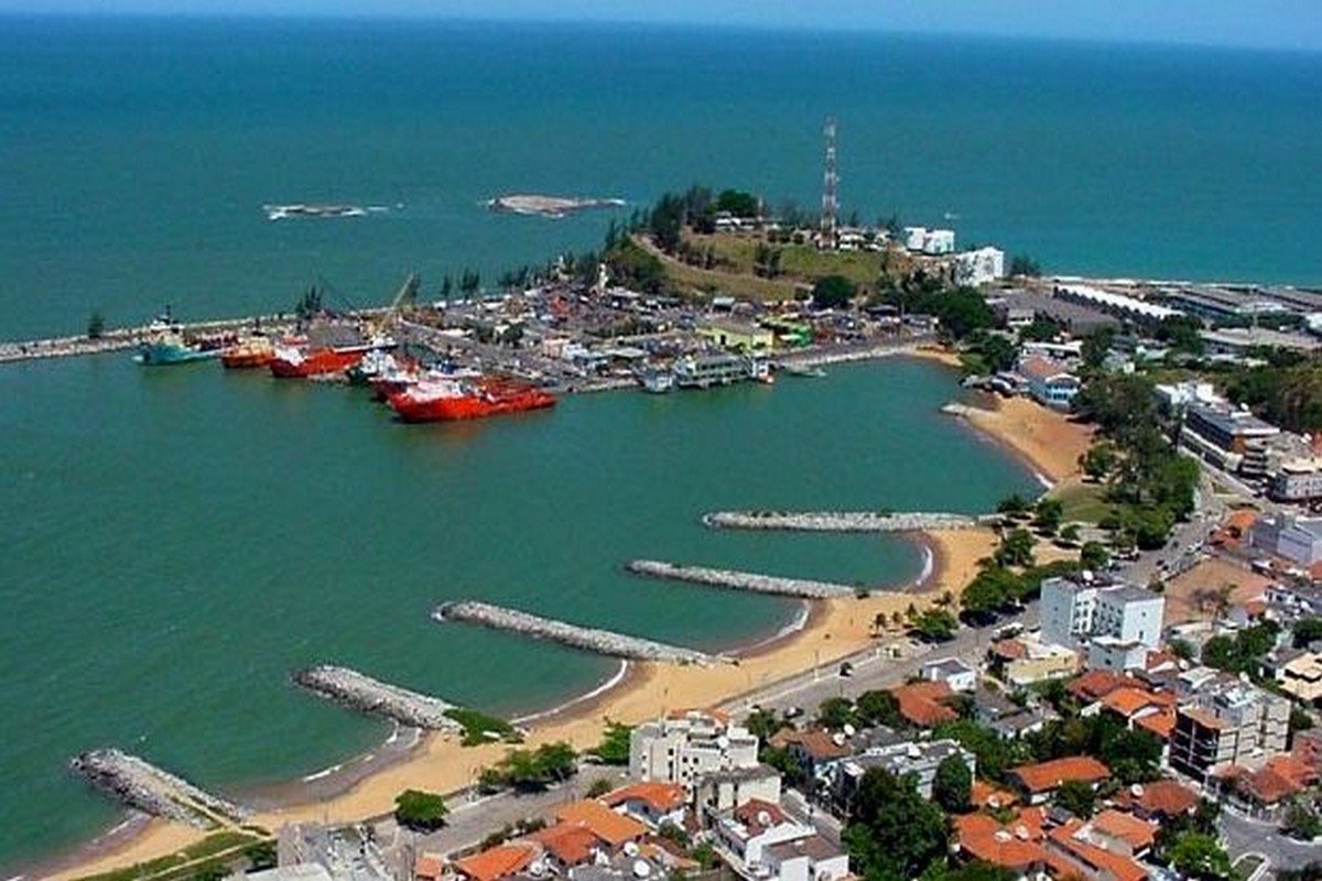
Brazilian city bets on the business environment to generate jobs and attract investments in the energy sector — secretary reveals strategy at Macaé Energy 2026.
-
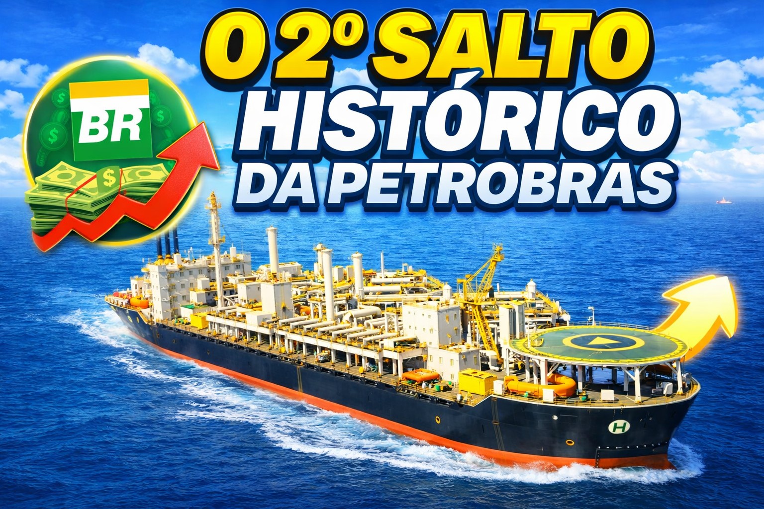
The largest South American oil company, Petrobras, is preparing for a historic leap in production with new FPSO platforms and the expansion of refining — projects that could add up to 900,000 barrels per day and strengthen Brazil’s energy security.
-
Billions of barrels in the Equatorial Margin could double Amapá’s oil production in Brazil and attract companies from the Campos Basin.

-
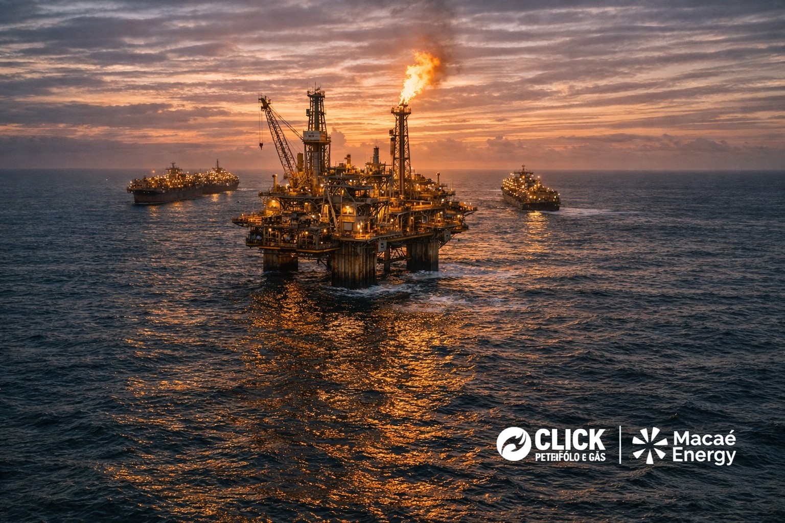
Mature Fields Take Center Stage and Are Expected to Generate New Opportunities in the Oil and Gas Sector

Matheus Viana, Information Geologist at NTS, comments that for those working in risk management in oil and gas operations, safety is always a priority and that it is very important to have a tool that facilitates data analysis and decision-making, providing more security for assets, the surrounding area, and the environment.
Carlos Portela, Environmental Engineer at Petrobras, classifies geographic intelligence as a central point in emergency management due to the ability to integrate data from different sources into a single interface, allowing for all information about operation locations to address logistical issues and resource distribution, for example.
Luiz Vargas, Marketing Executive at Imagem, comments that in Brazil the oil and gas sector works with very large operational plants, with assets distributed throughout the entire national territory, making the geographical component essential. In addition to managing the positioning and maintenance of assets, the geotechnology perspective broadens the view of the impacts that such a plant brings to the surroundings, both environmentally and economically.
Alexandra Magalhães, GIS Manager at TAG, states that the implementation of the geographic intelligence system in the company has changed the routine of hundreds of people and was a very important step in asset management. Robison Tirre, Maintenance and Integrity Manager at TAG, reinforces that it is very helpful to visualize all information on a single platform with a geographic view. In a company where assets are spread over more than 4,500 km with a series of variables, the ability to analyze this data and compare it immediately is very important for decision-making.
In Brazil, the tool is provided by Imagem Geosistemas, a partner of the American Esri, which is a leader in geographic intelligence solutions, a technology that has certainly come to stay.


Seja o primeiro a reagir!