Study in Nature Communications indicates that glacier retreat could form 56,659 new lakes in areas currently covered by ice.
Researchers from Sweden, the United States, Switzerland, and Norway mapped what lies beneath more than 200,000 glaciers on the planet and reached an impressive conclusion: when part of this ice disappears, the Earth could gain 56,659 new lakes in areas currently completely frozen. The study was published in 2026 in the scientific journal Nature Communications and analyzed glaciers outside the large ice sheets of Greenland and Antarctica.
According to the authors, these future lakes could occupy 40,647 km² and store up to 3,138 km³ of water. This volume is equivalent to about 7 millimeters of sea level rise that would be temporarily retained in these natural reservoirs, instead of flowing directly into the oceans.
The number draws attention because it reveals a silent transformation: the melting of glaciers not only leaves exposed rock. It can also create new freshwater systems, change entire ecosystems, and increase risks in mountainous valleys.
-
Surprising scientific breakthrough in Russia creates a reactor capable of removing 100% of dye from water in just 90 minutes, using an innovative process that could transform industrial effluent treatment and significantly reduce environmental impacts.

-
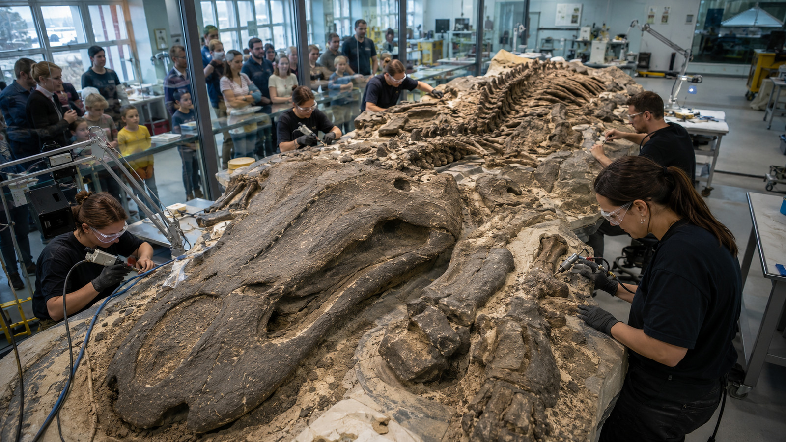
More than 2,000 volunteers are working in Warsaw to free, millimeter by millimeter, the 1,300-kilogram skeleton of a 240-million-year-old predator from the rock.

-
After a neurological condition took away most of the movement in his arms, a 5-year-old boy received an exoskeleton created in 10 weeks by four students, with motors, sensors, and control carried in a backpack.
-
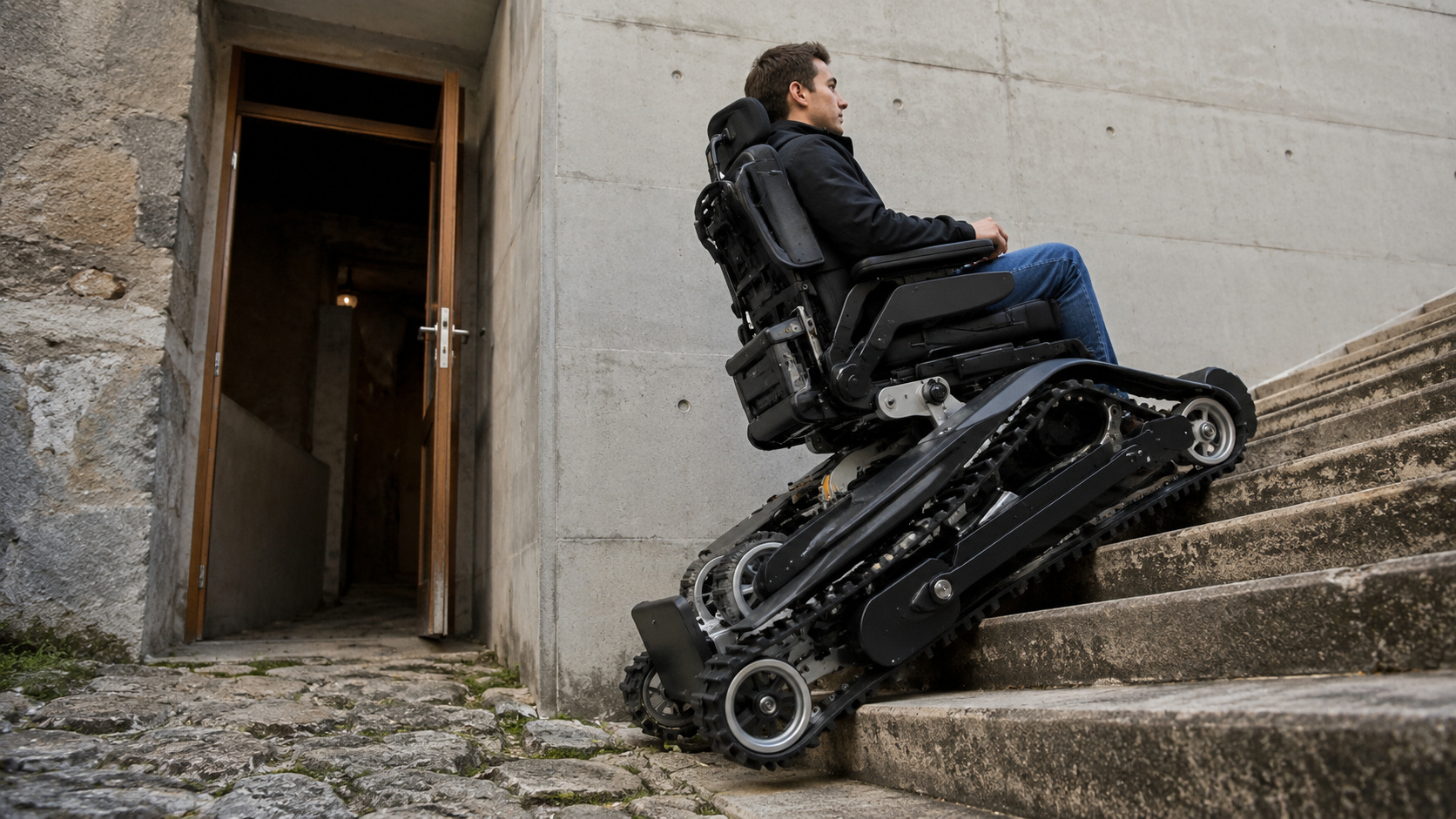
Tired of seeing stairs block the passage of wheelchair users, nine Swiss students spent ten months creating a wheelchair with tracks, wheels, and automatic balance, but they discovered that opening doors and crossing uneven floors was even more difficult.


Scientists mapped the terrain hidden beneath more than 200,000 glaciers
The study was led by researchers from Uppsala University in Sweden, with participation from Carnegie Mellon University in the United States, University of Lausanne in Switzerland, and University of Oslo in Norway.
According to Nature Communications, the team reconstructed the topography beneath the glaciers using a three-dimensional ice flow model called Instructed Glacier Model, accelerated by GPU and deep learning. The idea was to understand what the Earth’s surface would look like if the glaciers disappeared.
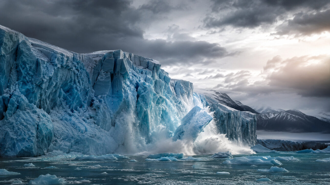
This type of mapping is complex because the base of the glaciers is not directly visible. The frozen surface can hide deep valleys, depressions, natural basins, and areas where meltwater tends to accumulate.
According to the study, direct observations of glacier bed elevation exist for only about 2% of global glaciers. Therefore, the researchers needed to combine data on relief, ice thickness, flow velocity, mass balance, and measurements already available in international databases.
The study found 56,659 possible lakes in areas currently covered by ice
The main result of the work is the identification of 56,659 possible future lakes with a minimum area of 0.05 km².
According to Nature Communications, these lakes would appear in terrain depressions currently covered by ice. When the glacier retreats, these areas may become exposed and start to accumulate meltwater, rain, and local drainage.
The total estimated area of these future lakes reaches 40,647 km².
In practice, this means that about 6% of the new ice-free landscape could be covered by lakes. The study itself compares this number with the global average of lake coverage in non-glaciated lands, which is approximately 2%.
This contrast shows that regions newly exposed by glacier retreat may have a much higher concentration of lakes than common terrestrial landscapes.
Water volume would reach 3,138 km³
In addition to the number of lakes, the study also estimated the total volume of water these reservoirs could store.
According to Nature Communications, the future lakes could accumulate up to 3,138 km³ of water.
The number is treated by the authors as a maximum potential because the model considers the terrain revealed by the ice without including all future changes caused by erosion, sediments, natural barrier breaches, or subsequent drainage.
Even with this limitation, the result is relevant.
The researchers calculate that this volume would be enough to retain about 7 millimeters of sea level equivalent. In other words, part of the meltwater would be temporarily trapped in continental lakes before reaching the oceans.
This does not eliminate the problem of sea level rise, but it shows that the path of meltwater can be more complex than simply flowing from the glacier directly to the ocean.
Glaciers hide valleys, basins, and depressions that can become natural reservoirs
The study shows that the glacier bed is not a flat surface. Beneath the ice, there are landforms created by thousands of years of glacial erosion. Among them are U-shaped valleys, glacial cirques, deep basins, and areas called overdeepenings, which are depressions carved below the terrain’s outlet level.
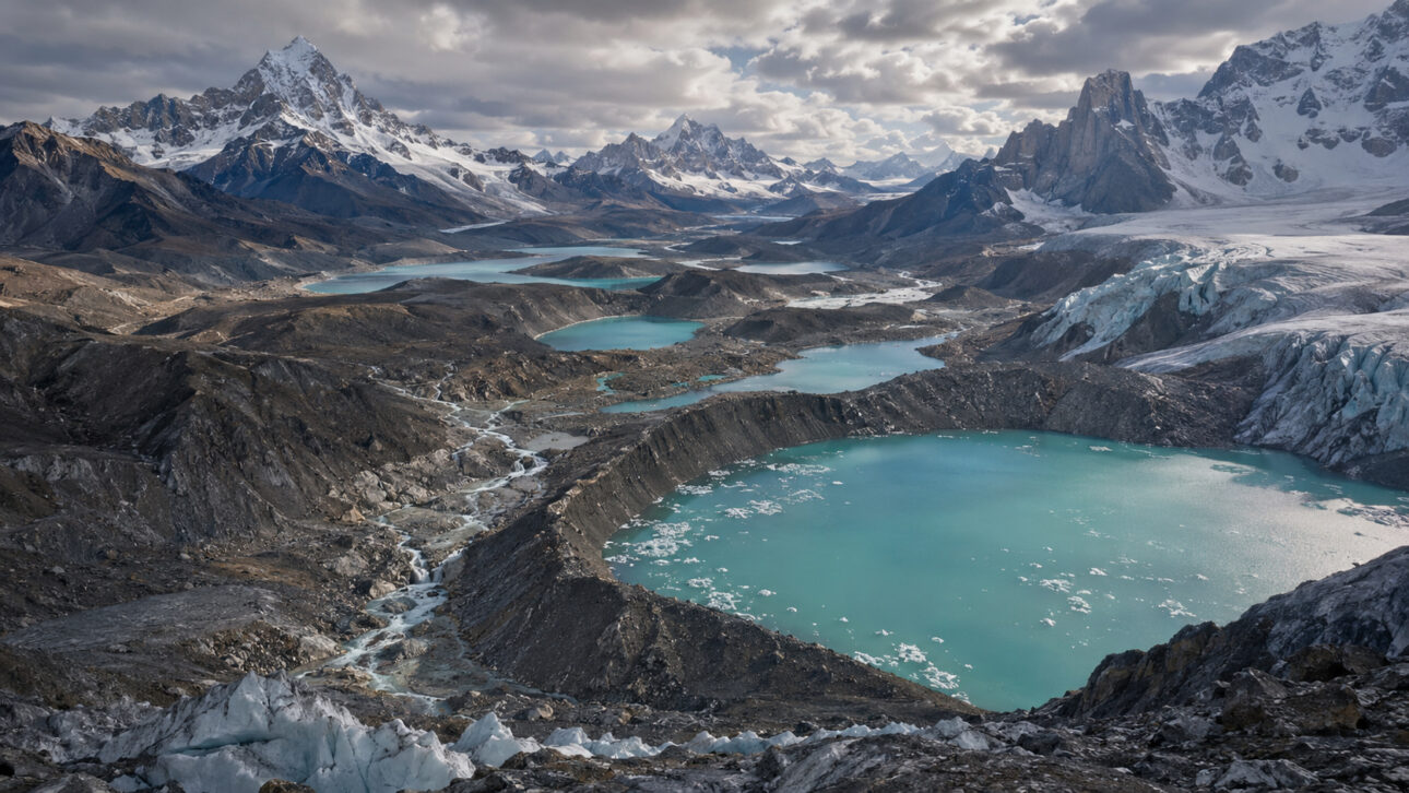
When the ice retreats, these depressions can act as natural containers.
The meltwater begins to accumulate in them and forms lakes. In some cases, these lakes are dammed by rock. In others, by sediments, moraines, or remaining ice.
It is precisely this type of detail that makes mapping important. Without knowing the shape of the terrain under the glacier, it is difficult to predict where new lakes may emerge, what their size will be, and what risks they may pose to nearby communities.
Mountainous regions of Asia appear as areas of concern
The study published in Nature Communications highlights High Mountain Asia, a region that includes mountain ranges such as the Himalayas, Karakoram, Hindu Kush, Pamir, and Tien Shan, as one of the most sensitive areas.
Researchers observed large depressions near the glacier fronts in this region.
This is important because lakes formed near the lowest part of the glaciers can accumulate larger volumes and be close to populated valleys, roads, hydroelectric plants, agricultural areas, and villages.
Nature Communications itself states that large depressions near the glacial fronts in High Mountain Asia suggest an increased risk of sudden floods caused by glacial lake outbursts.
These events are known by the English acronym GLOF, for Glacial Lake Outburst Flood. They occur when a glacial lake suddenly drains, releasing a large volume of water, mud, ice, and sediments down the valley.
Sudden floods from glacial lakes already threaten millions of people
The risk is not just theoretical. Another study published in 2023 in Nature Communications estimated that 15 million people worldwide are exposed to the potential impacts of sudden floods from glacial lakes.
This work identified High Mountain Asia as the region with the greatest exposure. According to the 2023 study, about 9.3 million exposed people live in this region.
The research also pointed out that more than half of the globally exposed population is concentrated in just four countries: India, Pakistan, Peru, and China.
New lakes can be a risk, but also a resource
Despite the warning, the lakes formed by the retreat of glaciers do not only pose a threat. They can also become freshwater reserves in regions where glaciers currently function as a kind of natural “water tank.”
In mountain areas, accumulated ice releases water during dry periods and helps supply rivers, communities, agriculture, and energy generation.
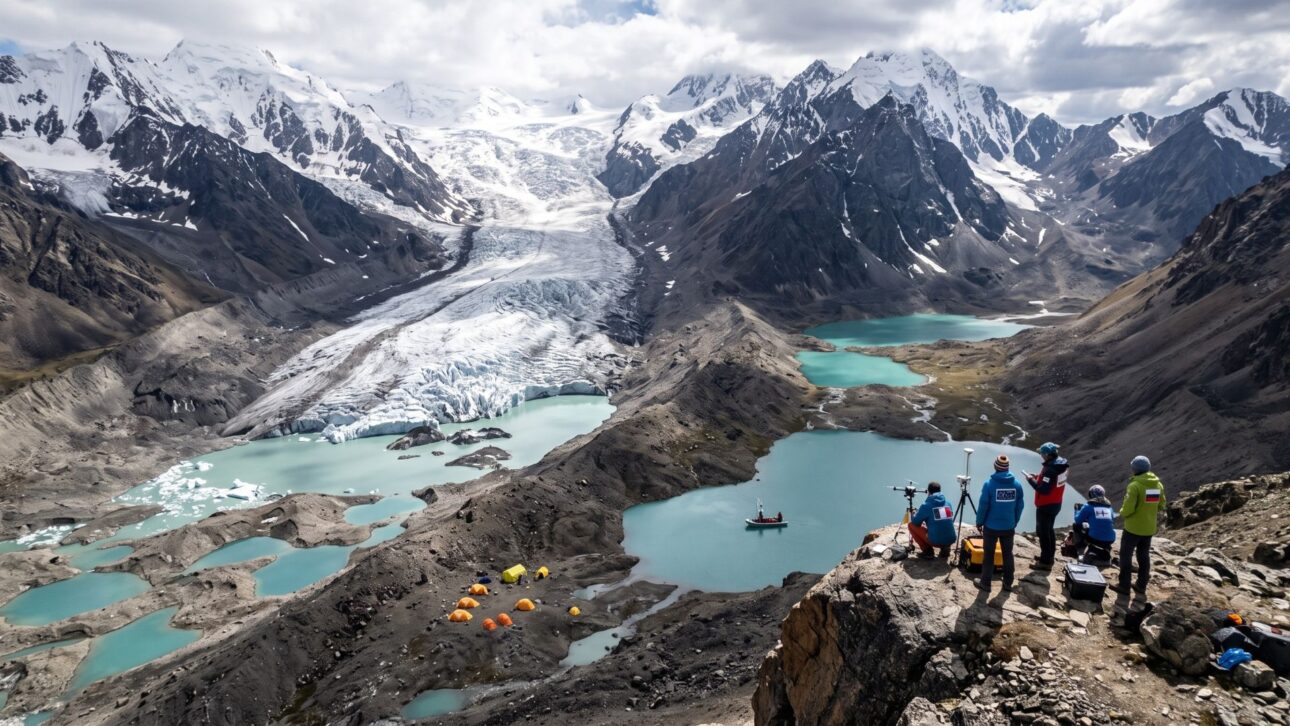
With the retreat of glaciers, part of this function may change. New lakes can store water, create habitats, modify landscapes, and even open opportunities for hydroelectric use in some contexts.
But the study emphasizes that any utilization depends on careful planning. Glacial lakes can grow rapidly, receive ice or rock avalanches, overflow, and break natural barriers.
Therefore, knowing where these lakes may emerge is an essential step to reduce risks before they turn into disasters.
Model created a global map of Earth without glaciers
The work produced a dataset called Topography of a Deglaciated Earth, or TOPO-DE v1.0.
According to Nature Communications, the goal was to create a physically consistent global map of the terrain currently hidden beneath the glaciers.
This map was built with a resolution between 100 and 400 meters, depending on the region, and allows observation of typical glacial relief forms, such as carved valleys, deep basins, and areas where lakes may appear in the future.
The model used data from the Randolph Glacier Inventory v6.0, which gathers information from more than 200,000 glaciers worldwide, in addition to digital elevation models, ice flow velocities, and more than 3.8 million ice thickness observations available in the GlaThiDa database.
This combination allowed researchers to simulate ice thickness and reconstruct the glacier bed on a global scale.
Study does not say that all lakes will emerge at the same time
An important point: the study does not state that the 56,659 lakes will emerge all at once. The research calculates the potential for lake formation in a deglaciated landscape scenario, that is, in areas where the ice would retreat enough to reveal the terrain’s depressions.
The speed at which this can occur depends on several factors. Among them are regional warming, altitude, ice thickness, dynamics of each glacier, amount of sediments, stability of moraines, and water flow.
Nature Communications itself reports that area and volume estimates should be seen as an upper limit, because processes such as the breaking of natural dams, sediment filling, and changes in the terrain can reduce the final size of the lakes.
Therefore, the study serves as a map for alert and planning, not as an exact prediction of dates for each lake.
Glacier melting also affects sea level and freshwater
The retreat of glaciers has a direct impact on sea level, water supply, and the safety of mountainous regions.
Nature Communications states that glacier melting contributes to sea level rise and the loss of critical water resources, especially in parts of Asia and South America.
Even in more optimistic climate scenarios, projections cited in the study indicate a significant loss of glacial mass and area by the end of the century.
This means that many landscapes currently dominated by ice will undergo permanent transformation.
Where glaciers once existed, lakes, rivers, exposed slopes, wetlands, and new ecosystems may emerge. At the same time, nearby communities will have to deal with changes in water supply, flood risk, and mountain stability.
Discovery changes the way to plan the future of frozen regions
The importance of the study lies in anticipating a landscape that does not yet fully exist but has already begun to appear in various regions of the planet.
As glaciers retreat, previously inaccessible areas become exposed. Some turn into bare rock. Others accumulate water and form lakes.
Without detailed maps of the terrain beneath the ice, governments, scientists, and communities have less information to decide where to monitor, where to build, where to avoid occupation, and where to install alert systems.
The new global map helps precisely in this regard.
It allows for the identification of regions where larger lakes may appear, where there is a higher probability of water accumulation, and where the risk of sudden floods may increase over time.
A planet with less ice and more lakes
The study shows that glacier melting does not just represent a loss of ice. It also reveals a new geography.
Hidden valleys, deep basins, and depressions buried for centuries or millennia can transform into visible lakes, altering entire landscapes in mountain regions and polar zones.
According to Nature Communications, the global potential reaches 56,659 lakes, with a combined area of 40,647 km² and a maximum volume of 3,138 km³.
These numbers make glacier retreat one of the most important geographical processes of the century.
The disappearing ice does not just leave an absence. It reveals new terrain, creates new reservoirs, and imposes new decisions for regions that depend on mountain water and face increasingly complex natural risks.