 Português
  Inglês
  Espanhol
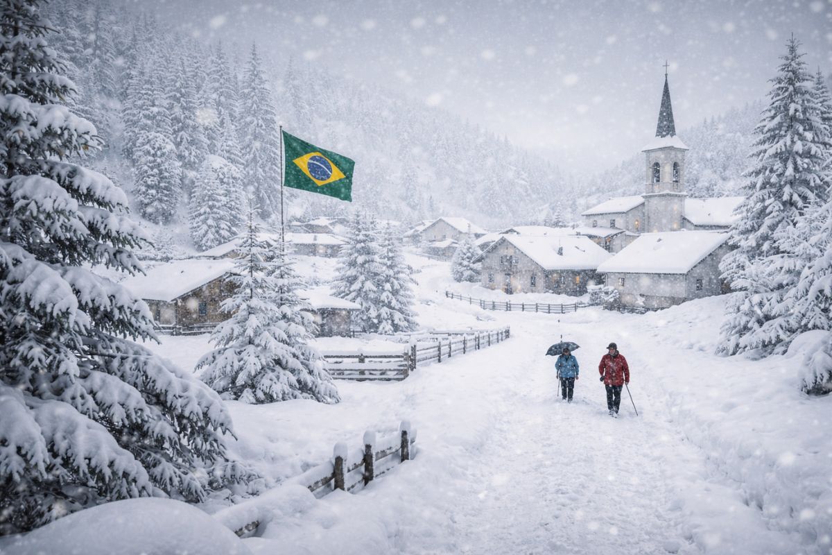
The first cold episode of autumn in South America brought intense snow to the Andes, forced the blockade of highways between Argentina and Chile, and dropped thermometers below zero in several Argentinian cities. The cold air mass is now advancing toward Brazil, with limited effects in the southern part of the country.
The first cold air mass of autumn in South America is advancing this week through Argentina and Chile with a sharp drop in temperature and heavy snow in the Andes. The episode forced the closure of international road passages between the two countries in the mountains, including the Cristo Redentor passage in Mendoza, which has been blocked since Saturday night. The measure was adopted jointly by Argentinian and Chilean authorities due to the risk to road safety caused by the accumulated snow.
According to METSUL, in the early hours of this Monday, March 23, the autumn cold was already being felt intensely in the West and South of Argentina. Thermometers recorded lows of −1.6°C in Maquinchao, −0.6°C in Calafate, and 1.0°C in Rio Grande. The cold air mass is now advancing toward Brazil, where its effects are expected to be limited to the southern part of the country, with a reduction in maximum temperatures between Tuesday and Wednesday in Rio Grande do Sul.
Heavy snow in the Andes: passages between Argentina and Chile blocked
The most severe impact of the autumn cold concentrated in the Andes. The international Cristo Redentor passage in Mendoza has been closed since Saturday night after a new episode of instability in the region.
-
Japan targets a remote island in the Pacific measuring only 1.51 square kilometers, located 1,900 kilometers from Tokyo, to store nuclear waste for up to 100,000 years, raising alarms at sea.
-
A 1,900-year-old papyrus found in the Judean Desert reveals a crime of the Roman Empire involving fraud, forgery, and a detailed court hearing.

-
New technology transforms the human body into a “machine”: centaur robot reduces effort when carrying up to 20 kg, improves balance during walking and impresses in practical tests in China.

-
A traffic police robot has started operating at a school, technology from Omoda & Jaecoo expands the use of artificial intelligence in smart cities.


The blockade began at the accesses of Uspallata and Guardia Vieja, and the total closure of the international tunnel came into effect at midnight. The measure will remain in effect indefinitely, depending on the evolution of weather conditions in the mountain range. Authorities from both countries recommend that travelers avoid heading toward the mountains until the situation normalizes.
At the Las Leñas ski resort, also in the province of Mendoza, the snow surprised on Sunday and fell heavily for several hours in the mountains above 3,000 meters in altitude, producing significant accumulation. The Cardenal Samoré passage in the province of Neuquén recorded snow throughout Sunday but remains open to vehicle traffic with the requirement of chains.
The scenario reinforces the intensity of this first incursion of autumn cold over the Andean region, which caught many travelers by surprise during a period that is usually still mild.
Temperatures below zero in Argentina: autumn cold drops the thermometers
The early hours of this Monday were marked by intense autumn cold in various Argentinian cities. In the West and South of the country, the direct influence of the cold air mass dropped thermometers to negative values.
Maquinchao in Patagonia recorded a low of −1.6°C. Calafate marked −0.6°C. Rio Grande reached 1.0°C. Paso de Indios stayed at 1.8°C. And Gobernadores Gregores and Trelew hit 2.0°C. These values are below the average for the period and indicate that the polar air mass associated with this episode has considerable strength.
The greatest impact occurs on the Argentinian side of the mountain range, where snow accumulations have completely compromised road circulation. The combination of negative temperatures with strong winds creates risky conditions not only for traffic but also for the local population.
Argentinian authorities have reinforced alerts and recommend that residents of elevated regions take extra precautions until the cold air mass loses intensity over the next few days.
The autumn cold air mass arrives in Brazil: what to expect in the South of the country
After hitting Argentina and Chile hard, the autumn cold air mass is advancing toward Brazil. However, according to MetSul Meteorologia, the influence of this episode will be very limited in Brazilian territory, with modest effects concentrated more in the South of the country.
The main reflection will be the reduction of maximum temperatures in Rio Grande do Sul between Tuesday (24) and Wednesday (25), bringing more pleasant marks after days of intense heat.
The early mornings of Tuesday and Wednesday may be of lower temperatures in southern Rio Grande do Sul, but with no forecast of severe autumn cold or frost. By the end of this week, the trend is for a return of strong heat in Rio Grande do Sul and other regions of Brazil.
For the rest of the country, the cold air mass is not expected to cause significant changes. This is a typical episode of early autumn, when the first polar incursions still do not have enough strength to advance beyond the southern region.
What is a cold air mass and why is it stronger at the beginning of autumn in South America
A cold air mass is a large volume of air with a significantly lower temperature than the region it advances into. It forms at polar latitudes and moves toward the equator driven by atmospheric pressure systems.
When this mass encounters the Andes, the relief forces the moist air to rise, causing condensation and snowfall at high altitudes. This is exactly what happened in this first episode of autumn cold in South America.
At the beginning of autumn, these cold air masses tend to be brief and of short duration. As the season progresses and winter approaches, episodes become more frequent, more intense and capable of reaching regions further north in Brazil.
This first episode of autumn cold serves as a signal that the aesthetics of the seasons have already changed, even if the heat returns in the coming days. The next weeks are expected to bring new advances of polar air, progressively stronger.
Have you already felt the change in temperature?


Seja o primeiro a reagir!