 Portuguese
  English
  Spanish
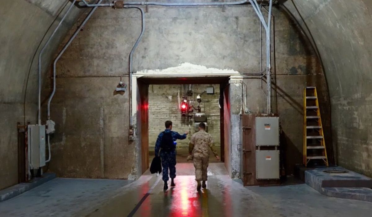
Installed in the Virginia mountains, a subterranean complex integrates emergency plans of the United States government and is associated with the continuity of federal administration in extreme scenarios, with strategic command and communication functions still surrounded by secrecy.
What Is the Mount Weather Emergency Operations Center
The Mount Weather Emergency Operations Center, known as Mount Weather Emergency Operations Center (MWEOC), is one of the main subterranean facilities associated with the continuity plans of the United States government.
Located in the Blue Ridge Mountains of Virginia, the complex was designed to function as a command and support center in situations of extreme national emergency, including large-scale armed conflicts or disasters with systemic impact.
The existence of the site is officially recognized, although much of its operational features remain classified.
-
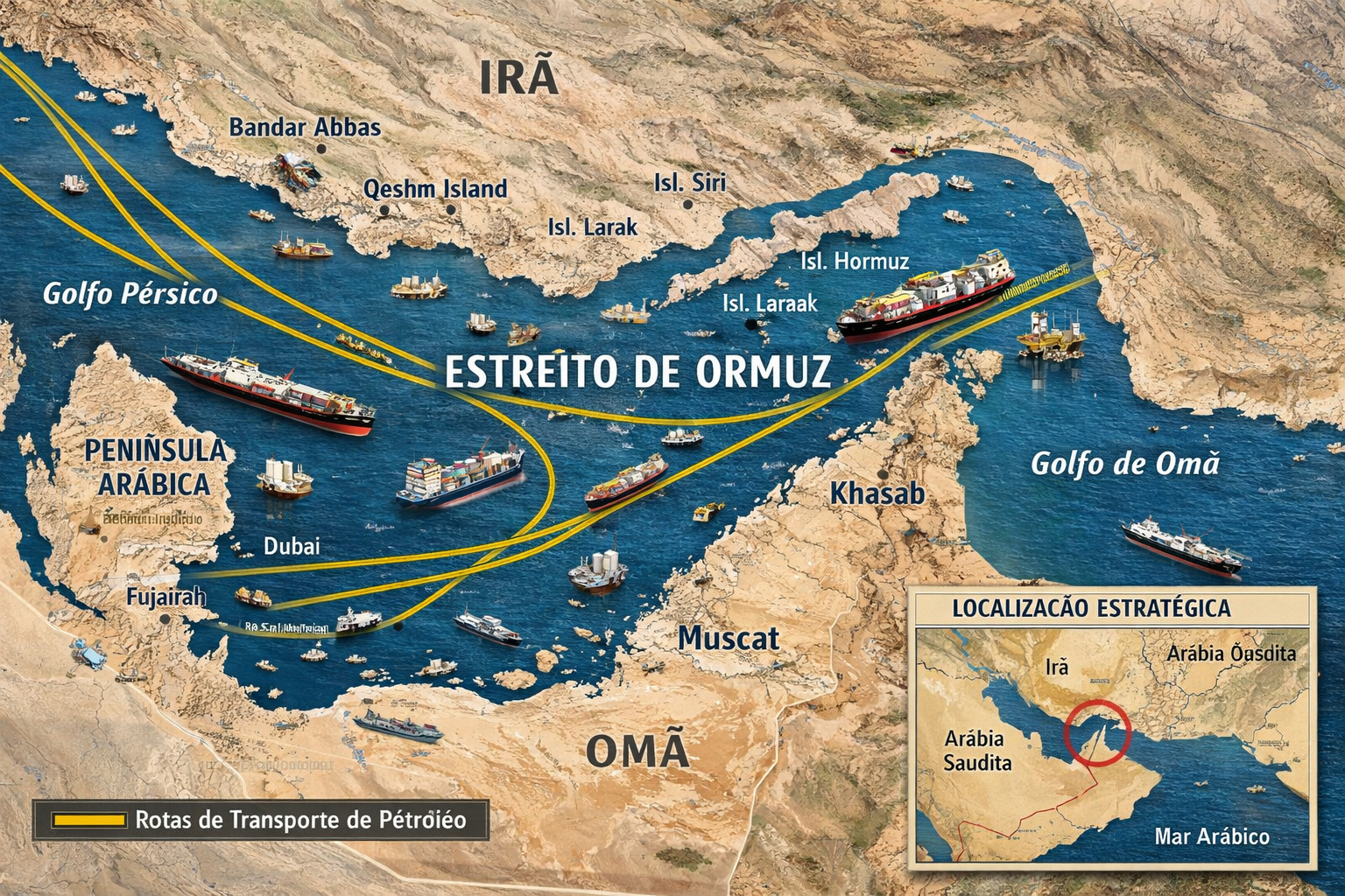
Global summit with over 40 countries pressures Iran for a blockade in the Strait of Hormuz and warns of direct impact on oil, food, and the global economy.
-
Russia has broken the U.S. maritime blockade to send oil to Cuba and is now loading a second ship while Trump says that “Cuba is next” in a possible military action against the island.

-
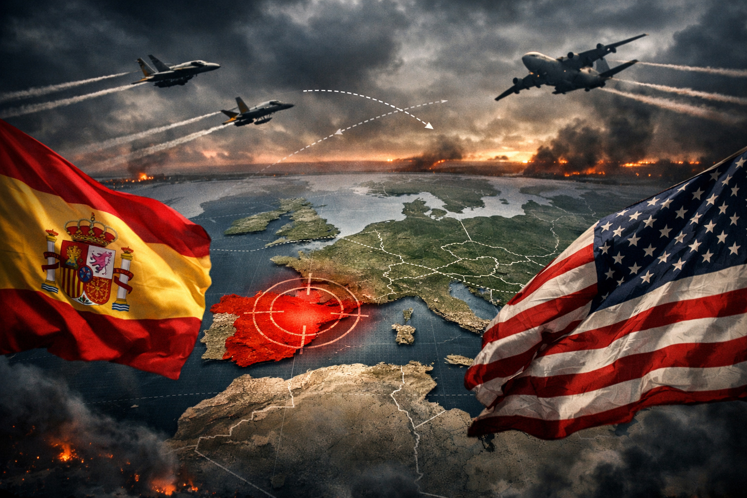
Spain challenges the USA and closes its airspace for operations against Iran, raising global tension and provoking the threat of a trade rupture.
-
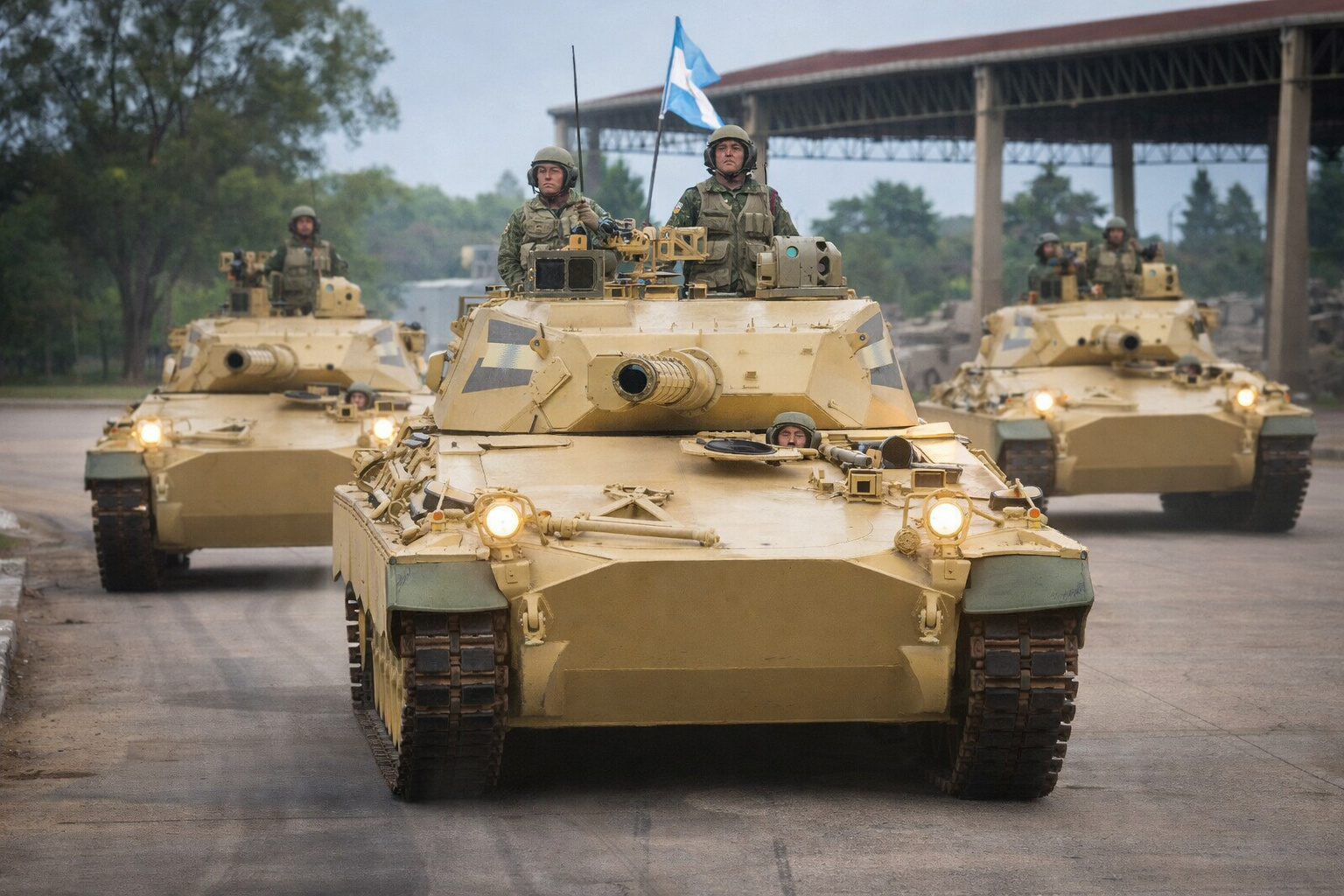
While no other country manufactures tanks in Latin America, Argentina activates the TAM 2C-A2 and raises a curiosity about the technological lag in the region.

Information available in public documents and reports indicate that the MWEOC is part of the federal structure aimed at preserving essential functions of the state when conventional civil facilities are compromised.
Over the decades, Mount Weather has come to be cited as one of the symbols of the American governmental continuity strategy, a concept developed primarily during the Cold War.
The logic behind this model is to ensure that administrative decisions, communications, and institutional coordination can be maintained even in scenarios of partial collapse of national infrastructure.
Strategic Function in US Government Continuity Plans
The MWEOC is managed by the Federal Emergency Management Agency, FEMA, an agency linked to the Department of Homeland Security of the United States.
According to institutional descriptions, the facility acts as an emergency operations center and also as a support point for federal communication systems in critical situations.
In addition to this function, Mount Weather is often associated with protocols known as government continuity, which encompass measures to ensure the maintenance of executive and administrative activities in high-risk scenarios.
Experts in national security consulted by international media often point out that these structures do not replace civil government but offer operational redundancy in times of crisis.
In this context, the complex houses a central station of the FEMA National Radio System, a high-frequency radio network designed to connect federal agencies, armed forces, and state governments.
The system is described in technical documents as an alternative resource for communications when conventional networks, such as telephony and the internet, suffer widespread failures.
Where Mount Weather Is Located and How the Facility Came About
Mount Weather is located in the northwest region of Virginia, near the towns of Bluemont and Purcellville, approximately 80 kilometers from Washington, D.C.
Access is via a state road, and the area occupies an elevated position in the Blue Ridge mountains, a factor noted by analysts as relevant for security and isolation.
Historical records indicate that the site was already used for meteorological observation activities in the early 20th century.
The transformation into a subterranean command facility occurred starting in the 1950s amid rising global tensions and the advancement of nuclear armament.
Public sources often mention the late 1950s as the period when the main subterranean structures were completed.
Since then, Mount Weather has undergone expansions and adaptations, although details about these changes are not officially disclosed.
American authorities maintain a policy of restricting technical and structural information, citing national security concerns.
Communication Systems and National Emergency Response
One of the most cited aspects of Mount Weather is its function as a emergency communication center.
The system operated at the site uses radio frequencies capable of functioning under adverse conditions, making it relevant in scenarios of natural disasters, attacks, or systemic infrastructure failures.
According to public FEMA manuals, the aim of this network is to ensure that alerts and guidance can be transmitted between the federal government and the states even when other means are unavailable.
Experts in crisis management emphasize that this type of redundancy is common in countries that maintain advanced civil defense structures.
In practice, this positions Mount Weather as one of the support centers for national coordination in emergencies.
This operation, according to official descriptions, does not imply that all strategic decisions originate from the site.
Historical Episodes Related to the Use of the Complex
Mount Weather is mentioned in historical records related to crisis situations in the United States.
One of the most cited episodes is the Great Northeast Blackout in November 1965 when millions of people were left without electricity.
On that occasion, emergency protocols were activated to ensure communications and federal coordination.
Another widely documented moment occurred after the September 11, 2001 attacks.
Reports from that time indicate that members of Congress and officials were taken to safe locations, including Mount Weather.
These actions were part of the government continuity measures adopted that day.
These episodes increased the visibility of the complex during national crisis moments.
Authorities, however, have always emphasized that its activation does not represent institutional rupture but rather the application of previously established procedures.
What Is Known — And What Remains Classified

What is known about the infrastructure of Mount Weather largely comes from official sources, investigative reports, and historical analyses.
These references point to a subterranean complex equipped with own power, water, and logistical support systems.
According to these sources, the structure is capable of sustaining operations for extended periods.
Nevertheless, specific data on dimensions, occupancy capacity, and internal organization is not publicly confirmed.
Defence researchers often warn that many popular descriptions mix verifiable information with speculation.
This scenario complicates an accurate assessment of the real structure.
For this reason, more cautious analyses avoid classifying Mount Weather as the “largest subterranean fortress on the planet”, as there are not enough public comparative data to support this claim.
Institutional Context and Government in Office
The United States is currently led by President Donald Trump, inaugurated for his second term in January 2025.
Regardless of the administration in office, Mount Weather remains an institutionally significant facility.
The complex is linked to permanent security and emergency response protocols.
Authorities and experts often highlight that centers like this are designed to endure across different administrations.
According to this assessment, the function of Mount Weather is to integrate a stable architecture of civil defense and crisis governance.


Seja o primeiro a reagir!