 Portuguese
  English
  Spanish
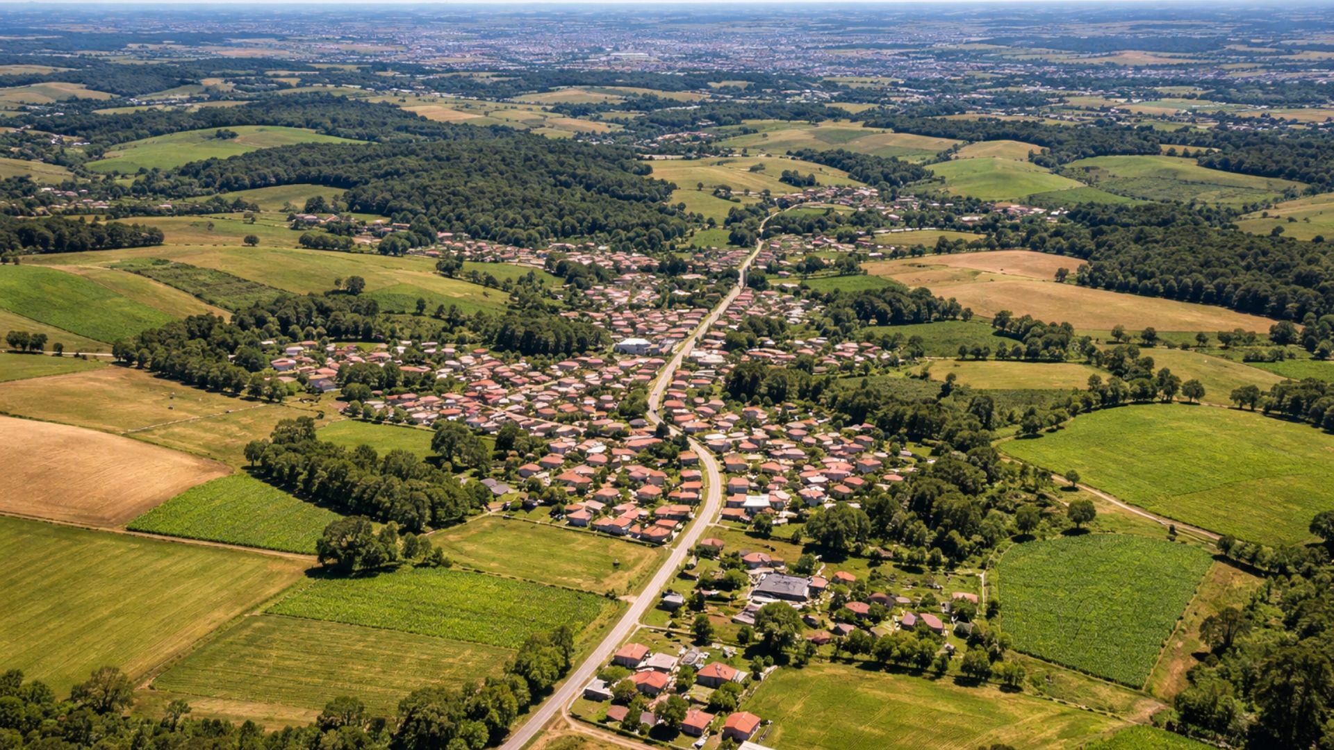
Municipality in Southern Brazil Presents Rare Territorial Configuration, with Administrative Boundaries Entirely Surrounded by a Single City, in Addition to Combining Small Population, Expansive Area, and Economic and Fiscal Indicators That Often Draw Attention in Official Surveys.
Located in the southern region of Rio Grande do Sul, Arroio do Padre presents an unusual territorial configuration within the Brazilian municipal division.
The entire perimeter of the municipality borders only one city, Pelotas, a characteristic that classifies it as a municipal enclave.
With 124.693 km² of territorial area and 2,599 inhabitants, according to the 2022 Demographic Census by IBGE, the municipality often appears in surveys about territorial organization and the reading of the country’s administrative map.
-
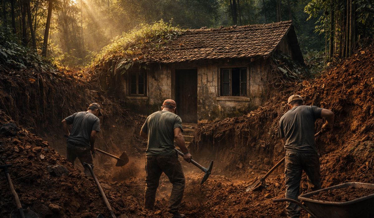
A promise made to their father led three men to unearth a forgotten house that had been swallowed by time for over 70 years, in a story of memory, abandonment, and reconstruction that seems straight out of a movie.
-
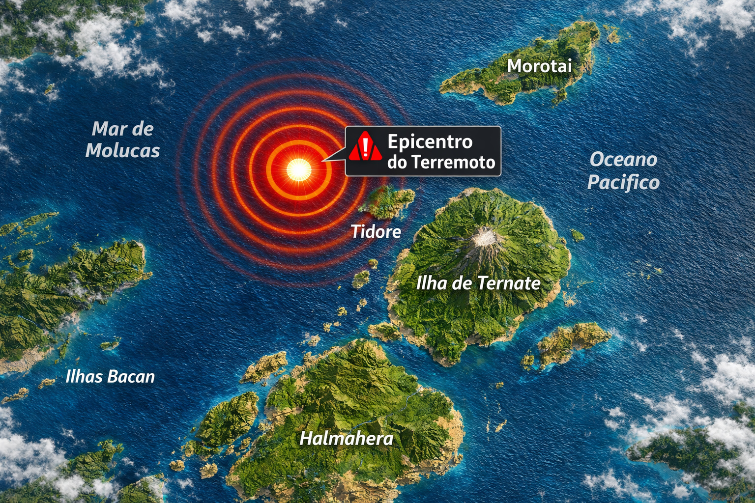
A strong earthquake in Indonesia affects houses and schools, causes panic, triggers a tsunami alert, and records a rise in sea level of up to 30 centimeters in some areas.

-
The Argentine government celebrates the lowest poverty rate in 7 years, but experts warn that the methodology has changed, real wages have fallen, unemployment has risen, and the number of people on the streets of Buenos Aires has increased by 57% since Milei took office.

-
7.8 magnitude earthquake in Indonesia frightens the population, triggers tsunami alert, and hits an island with over 200,000 inhabitants this Thursday.
In practice, a municipal enclave is a situation where an autonomous municipality, with its own government, is completely surrounded by another.
Although the concept is more commonly known in international relations, when it involves countries, it can also be applied to the Brazilian federal structure.
In the case of Arroio do Padre, there are no borders with any other municipality besides Pelotas, which distinguishes it from most Brazilian cities, typically connected to several neighbors due to the historical process of occupation and territorial fragmentation.
Municipal Enclave and Administrative Boundaries
The unique delimitation directly influences the reading of the regional map.
Arroio do Padre maintains administrative autonomy, with a city hall and municipal chamber, but any external territorial contact necessarily goes through Pelotas.

Formally, this does not change the rights and duties of the municipality but creates a cartographic configuration that is not commonly found in the country.
Experts in political geography often point out that cases like this become more visible to the public because they are easily understood visually.
A municipality entirely contained within the boundary of another tends to stand out in maps, educational materials, and analyses of administrative division, even if this does not imply automatic differences in public management or service delivery.
Population, Area, and Demographic Density
Demographic data helps to contextualize the municipality.
According to IBGE, Arroio do Padre recorded 2,599 residents in the 2022 Census, spread over an area of 124.693 km².
Based on these numbers, the demographic density is approximately 20.8 inhabitants per km², an indicator that positions it among municipalities with low population concentration.
This profile is common in areas with predominance of rural characteristics or lower urban density, even when located within the influence area of larger regional centers.

In the case of Arroio do Padre, the geographical proximity to Pelotas does not automatically translate into high population density, which reflects historical dynamics of occupation and land use.
IBGE also publishes annual population estimates, used for administrative and planning purposes.
In these more recent projections, the municipality appears with approximately 2,650 inhabitants, a number that does not replace the Census but serves as an intermediate reference until the next official count.
Per Capita GDP and Local Economy
Another data point frequently associated with the municipality is per capita GDP, which appears in IBGE statistics as R$ 37,149.25, based on 2023.
The indicator represents the total estimated value of economic production in the territory divided by the number of inhabitants.
Economists and public accounts analysts emphasize that per capita GDP is a synthetic metric, useful for general comparisons, but it should not be interpreted as the average income of the population or as a direct reflection of the local standard of living.
The value can be influenced by specific economic activities, the productive structure of the municipality, and how businesses and services are distributed territorially.
In the case of municipalities with small populations, variations in local production tend to have a more significant impact on the per capita indicator.

Therefore, isolated readings of the data can lead to inaccurate interpretations if not accompanied by other social and economic indicators.
Municipal Budget and Public Finances
Fiscal statistics also help to measure the functioning of local administration.
According to IBGE’s public finance panels, Arroio do Padre recorded R$ 33.33 million in gross revenue realized in 2024.
In the same period, the gross expenses incurred totaled R$ 28.53 million.
These numbers reflect the volume of resources that passed through the municipal budget throughout the year.
Public finance experts emphasize that revenues and expenses include different sources, such as constitutional transfers, own collection, and agreements, in addition to following specific accounting rules.
The commitment, for instance, represents the formal spending commitment, but does not necessarily correspond to actual payment in the same fiscal year.
Analyzing this data, therefore, requires caution and knowledge of budgetary functioning.
Still, they provide an objective reference regarding the financial scale of municipal administration.

Why Arroio do Padre Appears in Maps and Surveys
The combination of a specific territorial configuration and consolidated official numbers helps explain Arroio do Padre’s recurrence in informative content about municipal division.
The fact that the municipality borders only one neighbor serves as a direct descriptive element, while the data on area, population, and economy provide factual basis for context.
Researchers and communication professionals often refer to databases like the Demographic Census, the GDP of Municipalities, and public finance statistics precisely because they are standardized and comparable.
These records allow observing the municipality from different angles, without relying on subjective interpretations.
At the same time, experts warn that no single indicator, alone, answers questions about quality of life, income distribution, or efficiency of public services.
The combined reading of the data is essential to avoid simplified conclusions.
Within this set of information, Arroio do Padre stands out less for extreme statistical exceptions and more for the way its territory is organized.


-

-

-

-

-

12 pessoas reagiram a isso.