 Português
  Inglês
  Espanhol
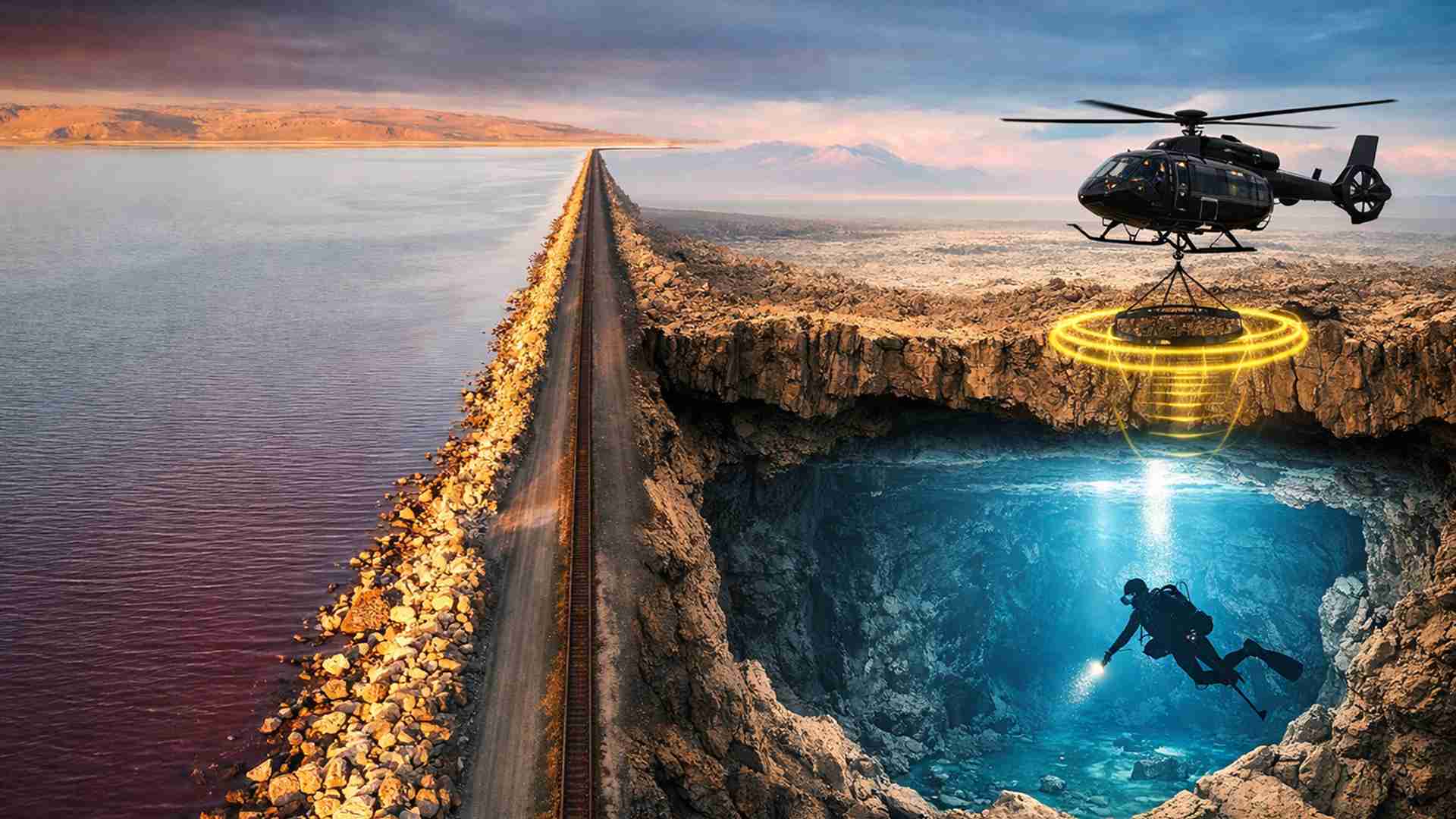
The discovery of freshwater between 3 and 4 kilometers deep beneath the Great Salt Lake, in the United States, revealed an unexpected subterranean reservoir that could help understand the water flow in the region and pave the way for actions against toxic dust in Utah
The discovery of extensive areas of freshwater beneath the Great Salt Lake, in the United States, has opened a new front for scientific investigation into the behavior of groundwater beneath the largest terminal lake in the Western Hemisphere.
The finding was identified by researchers from the University of Utah, who analyzed geological structures below Farmington Bay and Antelope Island, on the southeastern shore of the lake, and located sediments saturated with freshwater at great depths.
The results show that this freshwater is present beneath the highly saline surface of the lake at depths of 3 to 4 kilometers, equivalent to about 10,000 to 13,000 feet. The discovery helps to broaden the understanding of groundwater flow in the region and also raises possibilities for practical use in light of environmental problems affecting exposed areas of the lake bed.
-
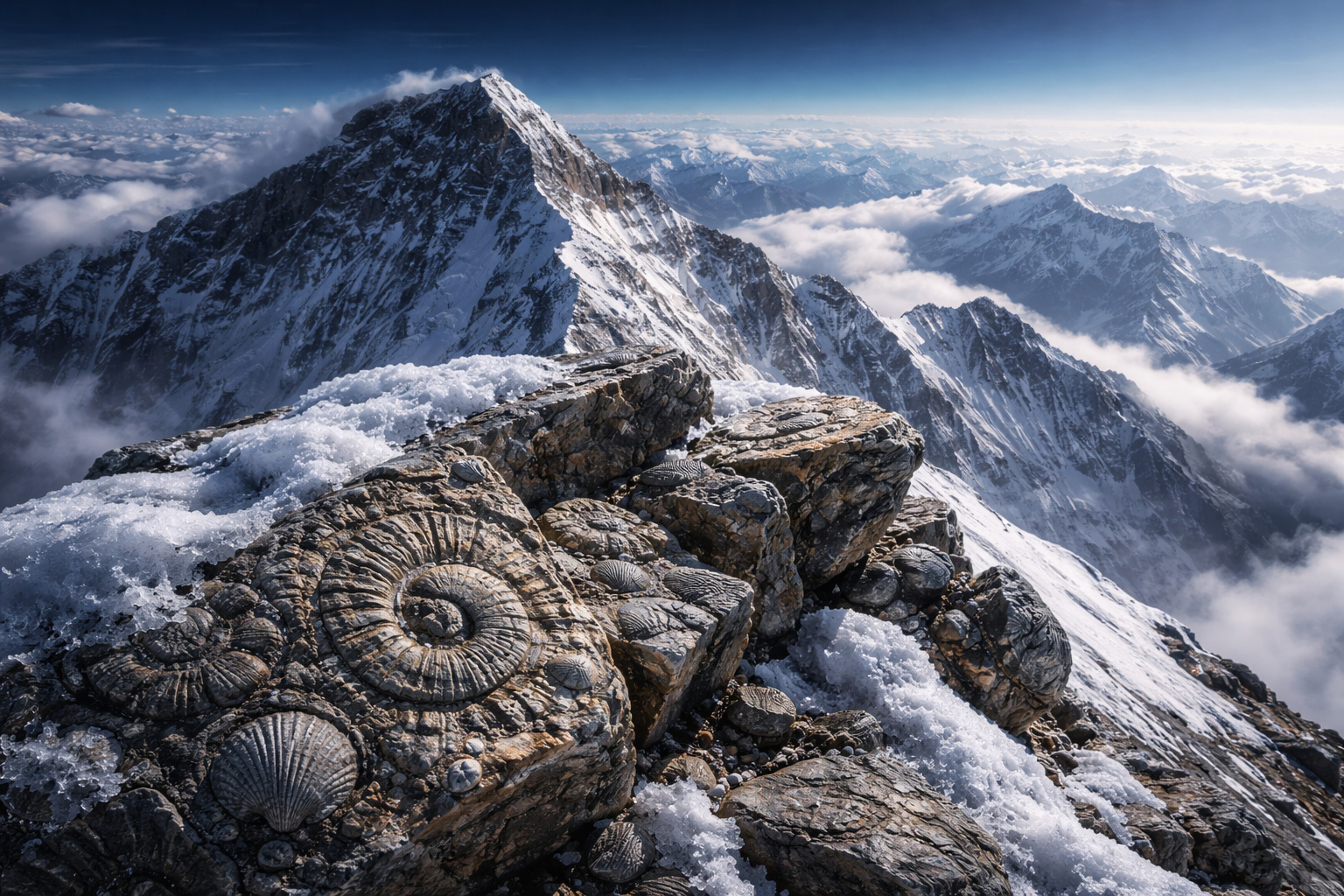
At over 8,800 meters above sea level, the summit of Mount Everest is made up of rocks that originated at the bottom of an ocean about 500 million years ago and were pushed to the highest point on Earth by the collision of tectonic plates.
-
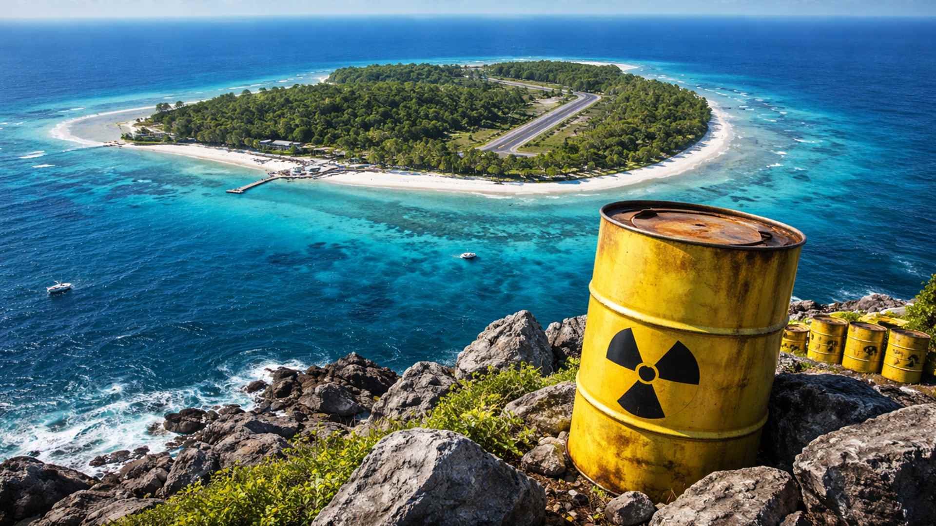
Japan targets a remote island in the Pacific measuring only 1.51 square kilometers, located 1,900 kilometers from Tokyo, to store nuclear waste for up to 100,000 years, raising alarms at sea.
-
A 1,900-year-old papyrus found in the Judean Desert reveals a crime of the Roman Empire involving fraud, forgery, and a detailed court hearing.

-
New technology transforms the human body into a “machine”: centaur robot reduces effort when carrying up to 20 kg, improves balance during walking and impresses in practical tests in China.


The research utilized airborne electromagnetic surveys, known as AEM, to generate images of the subsurface. The study demonstrated for the first time that this method can detect freshwater beneath a thin conductive layer of saline water on the surface of the Great Salt Lake.
The data also allowed mapping the spatial extent of the freshwater beneath Farmington Bay and estimating the depth of the saturated sediments, as well as identifying the structure of the bedrock below the area analyzed. Based on this information, the researchers began to evaluate the depth, width, and porosity of the potential reservoir.

Freshwater beneath the eastern shore of the lake
The work is part of a broader project led by the Department of Geology and Geophysics at the University of Utah with support from the Utah Department of Natural Resources. The goal is to expand knowledge about the groundwater beneath the Great Salt Lake, which occupies a central position in environmental and water studies in the region.
The results were published in the journal Scientific Reports, affiliated with Nature, and the project has already generated two other scientific articles. The team’s expectation is to continue publishing new developments as the investigation advances to other areas of the lake.
Michael Zhdanov, the lead author of the study, is an emeritus professor of geology and geophysics and director of the Consortium for Electromagnetic Modeling and Inversion, CEMI. He stated that with the known depth, width, and porosity, it becomes possible to calculate the potential volume of freshwater stored beneath the eastern shore of the lake.
The research focused on Farmington Bay and the northern part of Antelope Island, where previous observations had already drawn attention. At several points on the exposed lake bed, freshwater was seen rising under pressure and forming unusual mounds covered by dense stands of phragmites.
Subterranean flow surprises researchers
One of the most relevant conclusions of the study was the unexpected behavior of this groundwater. Instead of entering the system from the edges of the lake, as would be the expected pattern, the results indicate that the freshwater is moving underground toward the interior of the Great Salt Lake.
Bill Johnson, a hydrologist and co-author of the studies, highlighted that the surprise was not the presence of a salt lens near the surface of the saline plain. What drew attention was the fact that the freshwater below this layer extends far into the lake and possibly throughout its internal area, although this is not yet confirmed.
This pattern contrasts with the common hydrological expectation for environments of this type. Since brine is denser than freshwater, the predicted trend was that it would occupy the entire volume below the lake, while freshwater from the mountains would appear at some point on the periphery.
However, the researchers found evidence of a large volume of freshwater entering beneath the salt lens. This behavior reinforces the need to expand mapping and understand more precisely how this subterranean system functions throughout the lake’s extent.
Interest in the phenomenon increased after the recent emergence of circular mounds on the dry lake bed. Each measures between 50 and 100 meters in diameter and is covered by reeds that reach up to 4.5 meters in height.
Phragmites mounds and the toxic dust problem
The drop in water levels has exposed about 2,070 square kilometers of the Great Salt Lake bed. This area now serves as an important source of dust pollution, impacting nearby communities in Utah.
Part of the research now seeks to understand if the subterranean freshwater that surfaces under pressure could help mitigate this problem. Johnson is investigating whether this artesian water can be used to moisten the dust sources that carry toxic metals, thereby reducing their dispersion.
The assessment, however, involves caution. Johnson stated that there are beneficial effects of this groundwater that need to be understood before any expansion of extraction, especially to avoid significant disturbances to the existing freshwater ecosystem beneath the region.
Still, the possibility is seen as a relevant practical objective. The team considers it unlikely that Farmington Bay and other parts of the saline plain will be filled again in sufficient volume to prevent the emergence of dust sources in the higher areas.
In this context, using subterranean freshwater to moisten these surfaces has begun to be considered a promising way to address the problem. Johnson and colleagues Mike Thorne and Kip Solomon are seeking funding to expand the research to a larger area of the lake.
How the aerial survey revealed the reservoir
To distinguish freshwater from brine, the researchers measured the electrical resistivity of the subsurface through airborne electromagnetic surveys. The study reached depths of about 100 meters with this method, sufficient to map the boundary between the two types of water.
Johnson and Zhdanov hired a Canadian geophysical team to operate the equipment suspended under a helicopter in February 2025. The aircraft flew 10 survey lines in an east-west direction over Farmington Bay and the northern sector of Antelope Island, covering 248 kilometers.
The data clearly showed the vertical distribution of the subsurface layers. Near the surface, saline water appears, while at about 10 meters deep, freshwater with resistive behavior is already identified.
One of the phragmites mounds observed on the dry plain is located exactly above a point where freshwater surfaces through an opening in the impermeable layer below the lake. This association helped connect the surface formations to the subterranean system mapped by the surveys.
The CEMI team also developed a method to create three-dimensional images of the subsurface from the combination of electromagnetic data and magnetic measurements. With this, the researchers obtained a detailed tomographic image that extends deep beneath Farmington Bay.
Geological structure and next steps
The magnetic information indicated that the bedrock beneath the Farmington Bay saline plain is relatively shallow in the first stretch, with less than 200 meters of depth. It then experiences a sharp drop and reaches between 3 and 4 kilometers in depth.
This transition occurs beneath a mound of phragmites and marks a structural boundary considered important by the researchers. The area has become a priority for new geological and hydrogeological investigations.
Zhdanov argues that the next step is to map the entire Great Salt Lake. The proposal is to combine airborne electromagnetic methods to identify the thickness of the saline layer and the point at which freshwater begins below it, with magnetic data used to define the depth to the bedrock.
Although this initial phase has covered only a small portion of the lake, the assessment is that similar surveys could cover the entire area of 1,500 square miles. A complete mapping would have the potential to support regional water resource planning and guide the search for freshwater beneath terminal lakes in other parts of the world.
The study, titled “Airborne Geophysical Imaging of Freshwater Reservoir Beneath the Eastern Margin of the Great Salt Lake,” was published on February 27, 2026. Funding came from the Utah Department of Natural Resources, the Great Salt Lake Commissioners’ Office, and CEMI at the University of Utah.
This article was prepared based on information from the University of Utah, from the study published in the journal Scientific Reports on February 27, 2026.


Seja o primeiro a reagir!