 Portuguese
  English
  Spanish
The Study by Embrapa Presents the Largest Soil X-ray in Brazil in Mato Grosso do Sul, with Mapping of More Than 3,500 Samples. Understand the Impacts for Producers, the Environment, and Agricultural Planning.
Mato Grosso do Sul has just gained the largest soil x-ray ever conducted in Brazil, with a detailed diagnosis carried out by Embrapa in partnership with the state government. The presentation took place on October 9, 2025 in Campo Grande, at the Famasul auditorium.
The study was developed by Embrapa Solos (RJ) with SEMADESC and involved analysis of more than 3,500 sampling points and 3,000 soil profiles throughout the state.
The work aims to map agricultural potentials, environmental vulnerabilities, and support decisions for sustainable land use.
-
New technology developed by MIT researchers uses a bracelet with ultrasound to control robots and virtual systems with hand movements in real time.

-
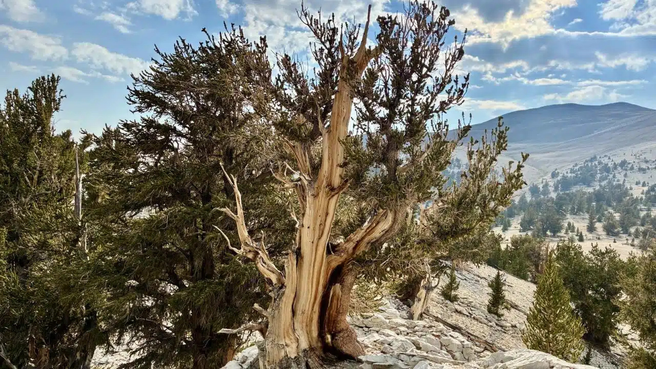
Scientists extract DNA from a tree older than the pyramids, assemble a genome 8 times larger than that of humans, and find clues that may explain how this living being has survived for over 5,000 years without aging like almost all other organisms.
-
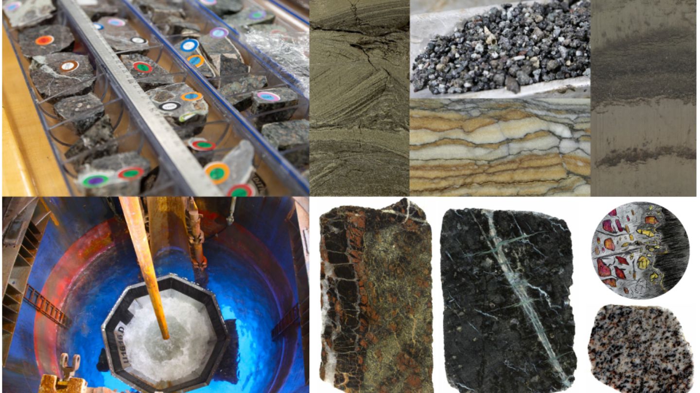
The Tyrrhenian Sea reveals a “fertile” mantle pierced more than 1,200 meters beneath the seabed by scientists in the IODP Expedition, which was expected to generate large volumes of magma, but surprisingly shows limited magmatic activity and leads researchers to investigate why one of the youngest tectonic regions in the Mediterranean does not behave as the models predicted.
-
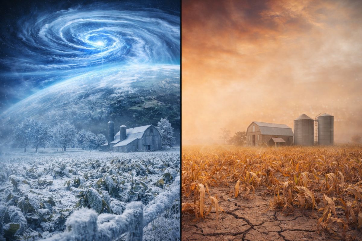
Meteorologists warn that the polar vortex is behaving in an unprecedented manner, and the speed of this anomaly could cause frost and droughts outside the norm in major agricultural production areas.
What Is This “Soil X-ray” and Why Is It Important
This diagnosis is, in practice, an agroecological zoning that integrates physical, chemical, and biological data of the soil.
It is called the “largest soil x-ray in Brazil” due to the breadth of the survey in the state.
With it, understanding of land suitability, regions at risk of erosion or degradation, and zones more suitable for specific crops is improved.
How the Embrapa Study Was Conducted and Its Scope
The survey was divided into three phases, covering 11, 22, and 46 municipalities in successive stages.
The Pantanal plain was excluded as it is an environmental preservation area.
Soil profile analyses, water infiltration tests, and collection at thousands of points were conducted.
The samples were analyzed in laboratories of Embrapa Solos (RJ) and Esalq/USP.
Main Results of the Largest Soil X-ray in MS
The state has approximately 234,000 km² suitable for agricultural use, about 65% of the total state area.
In the mapped areas, agroecological zones, environmental restrictions, water availability, and suitability for various crops were identified.
Crops such as soy, corn, wheat, rice, sugarcane, grains, and forages were mapped.
The study also identified environmental fragilities, such as susceptibility to erosion or degradation.
Who Participated and What Was Embrapa’s Role
The diagnosis resulted from cooperation between SEMADESC (Department of Environment, Science and Technology of MS) and Embrapa Solos (RJ).
During the event, state authorities, representatives from agriculture, technicians, researchers, and producers were present.
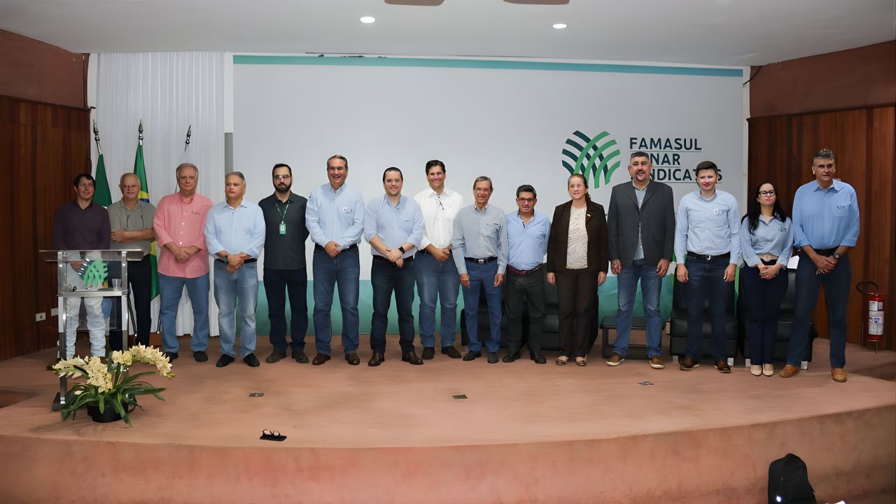
The head of research at Embrapa Solos, Cláudia Pozzi Jantalia, emphasized that the state now has the largest volume of soil data in Brazil.
According to her:
“This study… resulted in Mato Grosso do Sul being the state with the largest volume of soil data in Brazil.”
Expected Impacts for Producers and Planning
Safety for Agricultural Investments
Producers will be able to consult soil suitability maps before choosing areas for expansion.
Environmental Conservation and Sustainable Management
With the identification of zones at risk of degradation, it will be possible to anticipate preservation actions.
Support for Technical Assistance
Embrapa reinforces that it is essential to train technicians to pass on knowledge to producers.
The head of research states that technicians must understand the processes of soil formation.
Data Availability and Public Access
The complete zoning will be made available on the PronaSolos portal, a program by Embrapa Solos.
It will also be accessible through the “MS em Mapas” platform and an app with offline access.
These resources will allow technicians and producers to access maps even without a constant connection.
Challenges and Limitations of the Embrapa Study
The territorial vastness of Mato Grosso do Sul implies great soil diversity, which requires continuous data updates.
The exclusion of the Pantanal plain limits the coverage for some parts of the state ecosystem.
Additionally, correctly interpreting the maps requires technical knowledge and care for application in the field.
With the study representing the largest soil x-ray in Brazil, Mato Grosso do Sul takes a decisive step towards more rational and sustainable land use.
Embrapa, alongside the state government, has built a robust database that should serve as a reference for agricultural planning, environmental conservation, and security in rural investments.


Seja o primeiro a reagir!