 Portuguese
  English
  Spanish
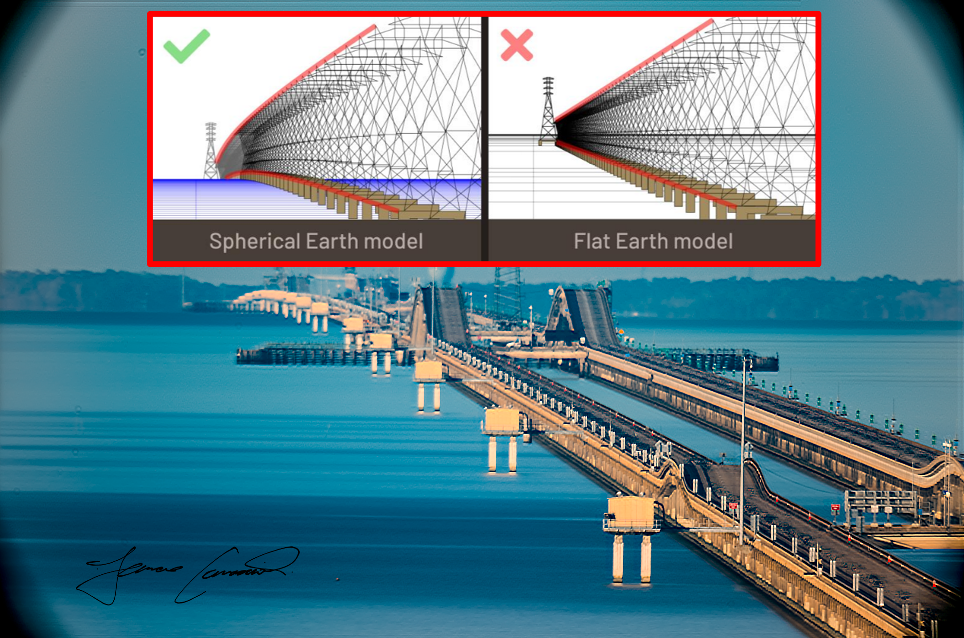


The Lake Pontchartrain Causeway Crosses a Lake in Louisiana with Over 38 km in Length and Reveals the Curvature of the Planet.
A bridge so long that it challenges the human eye. This is the Lake Pontchartrain Causeway, in the state of Louisiana, United States.
The structure consists of two parallel bridges that extend over an impressive 38.42 kilometers over Lake Pontchartrain. It is visible from space, especially in images captured by the International Space Station.
-
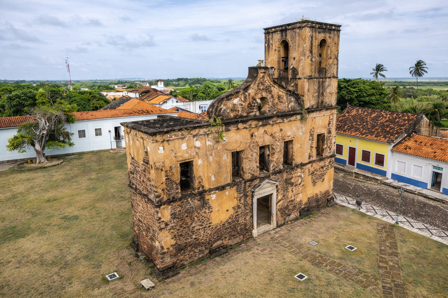
The Brazilian colonial city that stopped in time and shares territory with a rocket launch base.
-
79-year-old woman challenges limits, visits 193 countries in the world after 56 years of planning and reveals the behind-the-scenes of a global journey that few have managed to accomplish.

-
These are the drivers who may stop paying tolls on highways in a project that promises to reduce costs for those who live from transportation in Brazil.

-
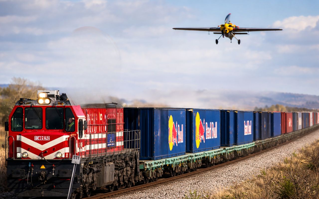
(Video): Italian pilot lands plane on moving train at 120 km/h and achieves unprecedented feat in aviation, even with a narrow runway and without direct visual contact.
This route connects the cities of Metairie to the south and Mandeville to the north. Together, the two lanes form the longest continuous bridge over water in the world, according to Guinness World Records.


Two Bridges, One World Title
The first bridge, which accommodates southbound traffic, was completed in 1956. The second, aimed at northbound traffic, was finished in 1969.
Although very similar, there are differences in length and number of spans. The south bridge is slightly shorter — about 15 meters — and has 2,246 spans. The north bridge has 1,506 spans.
Guinness World Records even transferred the title of the longest bridge over water to the Qingdao Jiaozhou Bay Bridge in China after its completion in 2011.
However, this decision caused controversy. Residents and engineers from Louisiana contested the new classification, claiming that a large portion of the Chinese bridge is not directly over water.
The discussion ended with the creation of two categories: “continuous length over water“, won by the Lake Pontchartrain Causeway, and “aggregate length“, where the Chinese bridge remains the leader.

Repetitive and Efficient Engineering
The design of the bridges is considered simple, but extremely functional. The structure repeats in a combination of spans, concrete pillars, and curved caps that help distribute the pressure. The south bridge uses two piles per joint, while the north bridge uses three.
This standardization allowed for mass production of the pieces in factories near the site and transportation by barges.
This significantly accelerated the construction process. The first bridge was completed in just 14 months, four months ahead of schedule.
Innovation in Concrete Piles
One of the technical highlights of the project was the creation of a new type of concrete pile. Engineer Maxwell Upson developed a hollow cylindrical pile 137 cm in width, well above the previous standard of 61 cm.
In addition, he invented a centrifugal force manufacturing method, ensuring greater strength to the material. In total, about 9,500 piles support the two bridges.
Factory and Logistics by the Lake
The construction of the first bridge required an industrial yard in Mandeville. With a cost of US$ 6 million, the site employed 750 workers. On the east side of the yard, the piles were produced. On the west side, the spans. A canal was dredged to connect the lake to the production area, facilitating the transport of the pieces to the assembly point.
This logistics was also applied to the second bridge. The same construction group from the original project — Brown & Root, TL James, and Raymond International — won the new contract. The pieces continued to be manufactured in Mandeville and transported by boat to the worksite set on the lake.
Crossings and Adjustments Over the Years
Over time, significant modifications were made to the structure. The bascule span of the original bridge on the north side was replaced by a new one to accommodate the parallel bridge. The south side had the movable span removed and replaced with a fixed span. Seven crossings between the two bridges were also created. They allow for traffic redirection in emergencies.
The second bridge was opened to the public on May 10, 1969, after an estimated investment of US$ 30 million.
Recent Improvements
In 2019, new works began on the Lake Pontchartrain Causeway. The aim was to install shoulders at strategic points between the crossings. This way, drivers would have a place to stop in case of breakdown or accident, without interrupting the flow of the bridge.
Each shoulder measures between 183 and 307 meters. The project was led by the company Volkert and executed by the construction firm Boh Bros. The total cost was US$ 53 million. The works were completed in 2020, enhancing the safety and efficiency of the structure.
The Bridge That Shows the Curvature of the Earth

In addition to its impressive size and engineering, the Lake Pontchartrain Causeway has a distinctive feature that has turned it into a subject of scientific study: its length is so great that it allows the observation of the effects of the curvature of the Earth.
On very clear days, and with the use of telescopes or long-range cameras, it is possible to notice that part of the bridge seems to disappear on the horizon. This occurs because the curvature of the Earth “hides” about 12 to 15 meters of the structure at the farthest point of the line of sight at sea level.
The phenomenon gained prominence in 2017 when engineer and YouTuber Mick West used the bridge to visually demonstrate the curvature of the Earth.
He analyzed photographs and conducted detailed measurements along the lake. The experiment became popular among science communicators as evidence against flat Earth theories.
Although the effect is not clearly visible to the naked eye, optical equipment helps reveal visual distortions and partial concealments of the structure. The case has become a reference in educational content about geography and physics.
A Legacy in Concrete and Engineering
The Lake Pontchartrain Causeway is much more than a connection between two cities. It represents a landmark in civil engineering and an example of how simple, well-planned projects can generate durable and efficient structures.
In addition to its practical importance for traffic in Louisiana, the bridge has also become a symbol of innovation and logistical planning. Its history includes records, adaptations, constant improvements, and even scientific experiments. With nearly seven decades of existence, it continues to be admired by engineers, drivers, and curious people from all over the world.
And amidst all this, it still holds a curious detail: it is one of the few human constructions where one can — literally — see the curvature of the Earth.


Produzem matérias até interessantes mas cada dia mais carregadas de anúncios desrespeitosos ao leitor pois invadem a tela exatamente no local que está sendo feita a leitura, e ao fechar um anúncio aprecem mais dois, chega a ser ****, sei que infelizmente é necessária a monetização, porém, tentem suavizar um pouco porque da forma como está não tá legal, melhor evitar abrir os conteúdos, já que fica inviável ler a matéria devido este problema.
UM TAPA NA CARA DOS TERRAPLANISTAS! 😊👍
Como técnico mediador, está é uma boa ideia para resolver de vez está questão da curvatura da terra, sendo assim precisa se colocar várias questões e ser imparcial para ambos competidores terem seus devidos argumentos e dirimir cada dúvida surgida, como segue:
A curvatura da ponte em si na construção no projeto precisa da curvatura para aliviar carga sobre colunas transferindo esforços para extremidades.
Nível da água precisa se levar em conta efeitos dos ventos alterando seu nível.
Efeitos refração óticos, etc…
Na prova, coloca se colunas iguais em cada ponta e uma no meio, através de laser direcionado anota se várias medidas nos três pontos.
Nível ponte, nível água com vento e sem vento durante vários dias.
Demais detalhes de marcação fica a critério de cada competidor.
Podem começar a prova e boa sorte, que vença o melhor?
Mais incrível ainda é está ponte foi construída no ano que nasci!!!!