 Portuguese
  English
  Spanish
Scattered remains in the Sierra Nevada de Santa Marta expand the debate on pre-Hispanic occupation in northern Colombia and place Betoma at the center of an archaeological investigation that gained new dimensions with the use of mapping technology.
Betoma brings together an extensive network of indigenous settlements on the western slope of the Sierra Nevada de Santa Marta, in northern Colombia, and has taken a central place in the archaeological debate of the country after recent surveys documented 8,334 lithic structures in an area of more than 18 square kilometers.
The work is led by archaeologist Daniel Rodríguez Osorio since 2019 and has been presented by researchers and the Colombian press as one of the most relevant archaeological finds of the 21st century in the country, especially for expanding the known scale of pre-Hispanic Tairona settlement in the region.
What changes with Betoma in Colombian archaeology
The main change associated with Betoma is not only in the extent of the documented area but in the revealed pattern of occupation.
-
Goodbye iron: new technology from Xiaomi promises to revolutionize the way we iron clothes with 500 kPa steam, continuous flow of 120 g/min, heating in 65 seconds, and six smart modes for different fabrics.

-
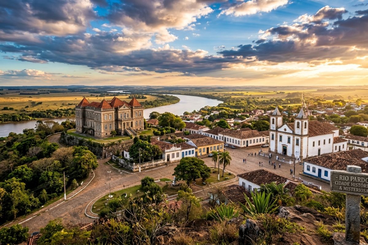
Rio Pardo, the most mysterious city in Rio Grande do Sul: untouched Pampas castle, the missing treasure of the Devil Boy, bride’s saint, invisible tunnels, and a 200-year curse today.
-
China retires the J-7 fighter after years of military protection and can now transform military items into drones, following more than 60 years of operation of the J-7, derived from the MiG-21, with thousands of units produced and strategic use in the PLAAF and PLANAF.

-
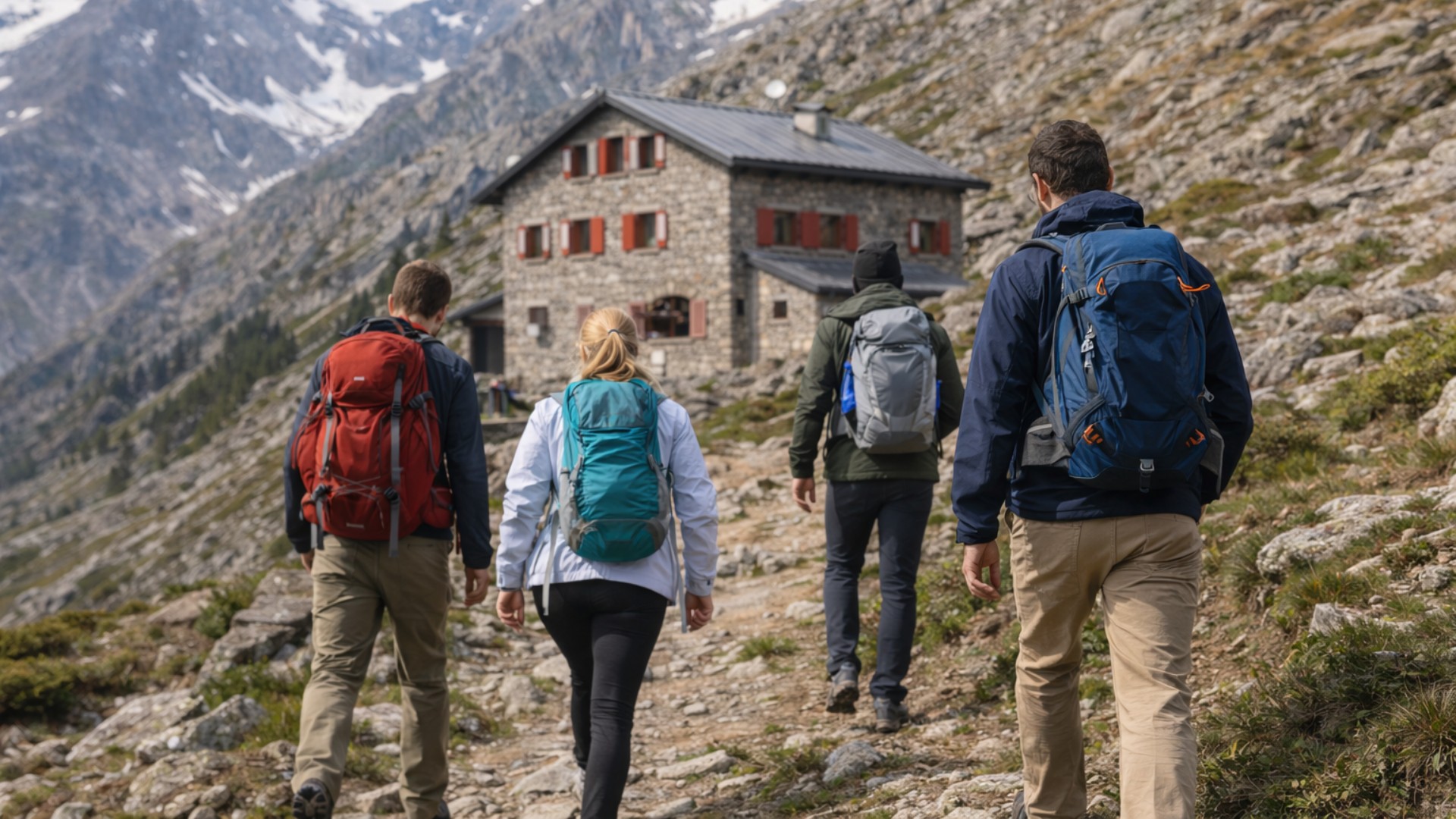
Volunteers are sought to live in the mountains for a month: a study pays people to stay at 2,500 meters, with 24-hour monitoring of sleep, metabolism, and blood pressure.

Instead of a single center surrounded by smaller nuclei, the set indicates a conurbation, that is, a mesh of interconnected villages, without a clearly identified main nucleus.
In an interview with the newspaper El Tiempo, Rodríguez stated that “it is not a monumental city concentrated in a single nucleus, but a conurbation,” formed by connected settlements.
This interpretation shifts the traditional focus of Sierra archaeology, historically concentrated in Teyuna, known as Ciudad Perdida.
The comparison with Ciudad Perdida helps to gauge the relevance of the find.

According to material published by El Tiempo, La Palma, one of the sectors of Betoma, is part of a set of 40 settlements associated with the complex.
The same report states that the network is about 40 times larger than Ciudad Perdida, although it presents distinct urban characteristics, with a more dispersed occupation across the mountainous territory.
How Lidar technology revealed structures in Betoma
For years, the vegetation cover of the Sierra Nevada hindered a more precise reading of the terrain.
The research began with walks and non-intrusive records in the upper basin of the La Aguja stream.
In this initial stage, the team had identified 1,272 terraces.
Later, 678 structures were added in the upper basin of the Frío River.
The numbers already indicated extensive, but still partial, occupation.
The leap occurred in 2024, when the project began using Lidar technology in an area of 18 square kilometers.
The system, based on laser pulses, allowed for three-dimensional mapping of structures hidden under the vegetation cover.
From this survey, the total documented reached 8,334 lithic structures.
According to the researchers involved, the combined use of remote sensing, laser scanning, and fieldwork has been expanding the understanding of tropical landscapes previously considered difficult to read archaeologically.
This point is relevant because Lidar did not “create” Betoma, but allowed it to be measured more accurately.
El Tiempo itself notes that the term “discovery” may be inaccurate, as local residents have known about the remains in the area for generations.
One of the names mentioned in the report is Elver Enrique “Kike” Osorio, a farmer who guided part of the fieldwork and helped indicate the archaeological potential of the site.
The new element, therefore, lies in the systematic documentation and scientific interpretation of the territory.

Tairona occupation and urban formation in the Sierra Nevada
The available data indicate that the process of occupation of Betoma began around the 5th century, with small and dispersed settlements.
Later, the area underwent a process of densification between the 14th and 16th centuries, suggesting a long trajectory of occupation and landscape transformation.
For researchers, this interval reinforces the hypothesis that the Sierra Nevada did not only house isolated sites but enduring and articulated human systems.
Recent academic literature on the Sierra Nevada de Santa Marta follows this direction.
In a scientific article signed by Rodríguez Osorio and other researchers, the use of Lidar, terrestrial scanning, and photogrammetry appears as a tool to identify the degree of human intervention in a landscape often treated as little transformed.
The study argues that, in areas of dense forest, remote sensing enhances the ability to recognize extensive systems of occupation and space management.
Lithic structures and the organization of the territory of Betoma
The documentation of thousands of lithic structures brings to the forefront the engineering developed by the Tairona peoples.
Walls, terraces, paths, and stairs are part of the constructive repertoire already studied in other parts of the Sierra Nevada.
In 2025, the National University of Colombia highlighted results from geoarchaeological analyses in La Palma, a sector linked to the Betoma complex, describing this set of stone structures associated with the Nahuange and Tairona communities and the relationship of these occupations with the mountainous environment.
With this, a different reading of forest occupation gains strength.
In the case of Betoma, the remains indicate an infrastructure adapted to the relief, circulation between settlements, and continuous construction over time.
Moreover, the location of the nuclei close to basins such as that of the La Aguja stream and the Frío River reinforces the importance of water, slopes, and natural corridors in the organization of the inhabited space.
Why Betoma repositions the history of Colombia
Betoma also leads to a revision of how regional history has been narrated in recent decades.
Archaeologist Luisa Fernanda Herrera had identified, in 1973, the lower sector of the La Aguja stream as an area of great potential, preliminarily related to the province of Betoma.
At that moment, however, the institutional focus ended up concentrated on Ciudad Perdida.
Now, with the resumption of research and the integration of fieldwork and technology, that old hint gains new dimensions and repositions the Sierra Nevada as a central area for the study of pre-Hispanic urbanism in the Colombian Caribbean.
More than just expanding numbers, the case of Betoma draws attention to the identified pattern of occupation.
Instead of merely reinforcing the image of a large isolated center, the site suggests an articulated territory, with several settlements sharing infrastructure and constructed landscape.
For researchers, this configuration contributes to revising the historical weight attributed to the indigenous societies of the region before the arrival of Europeans.
By expanding the Colombian archaeological map, Betoma also alters the scale of the debate on the ancient human presence in tropical forest areas.
The data gathered so far indicate that the forest covered a broad system of occupation, circulation, and stone construction, whose dimensions have only been measured more accurately in recent years.


Seja o primeiro a reagir!