 Portuguese
  English
  Spanish
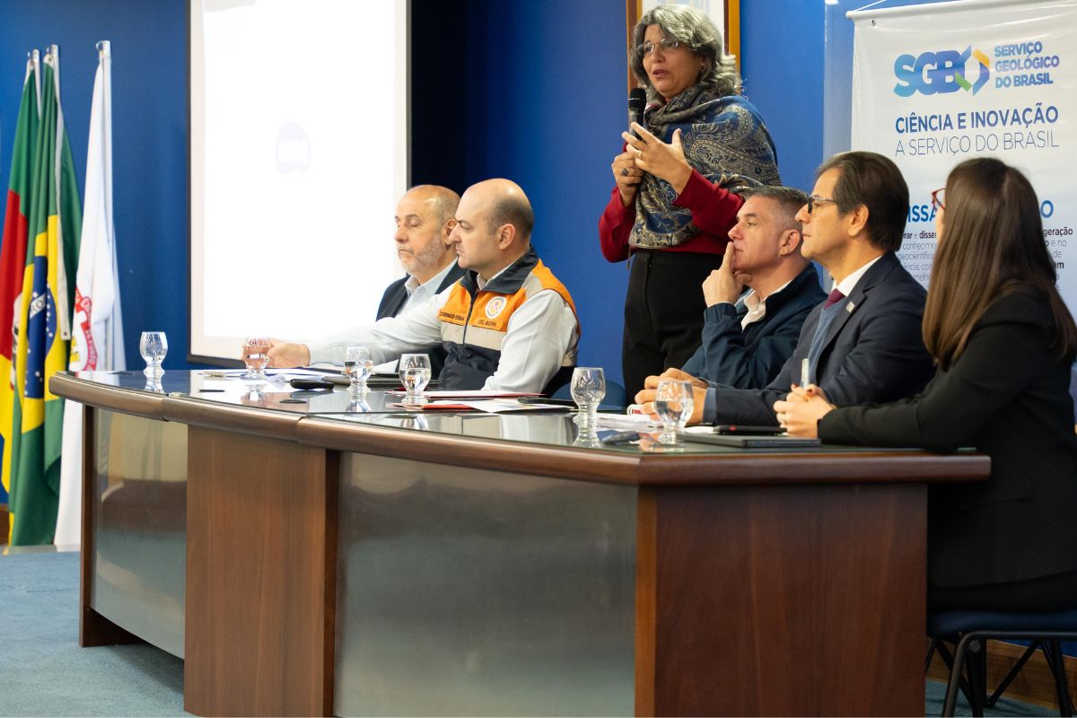
The Guaíba River Receives New Monitoring System Allied to Risk Area Mapping, Strengthening Prevention Against Floods in the Gaucho Cities. Initiative Involves 95 Cities, 33 Alert Stations, Strategic Partnerships, and Support from Public Bodies to Reduce Impacts of Climate Emergencies
The Guaíba River has once again become a highlight with the delivery of a tool that can change the way gaucho cities deal with climate emergencies, according to a news article published.
Last Thursday (25), the Geological Service of Brazil (SGB) presented a package of news: a modern monitoring system and detailed mapping of risk areas in different municipalities of Rio Grande do Sul.
This set of actions was designed to help communities that suffered from the floods of 2024 and are now seeking more preparation for the future.
-
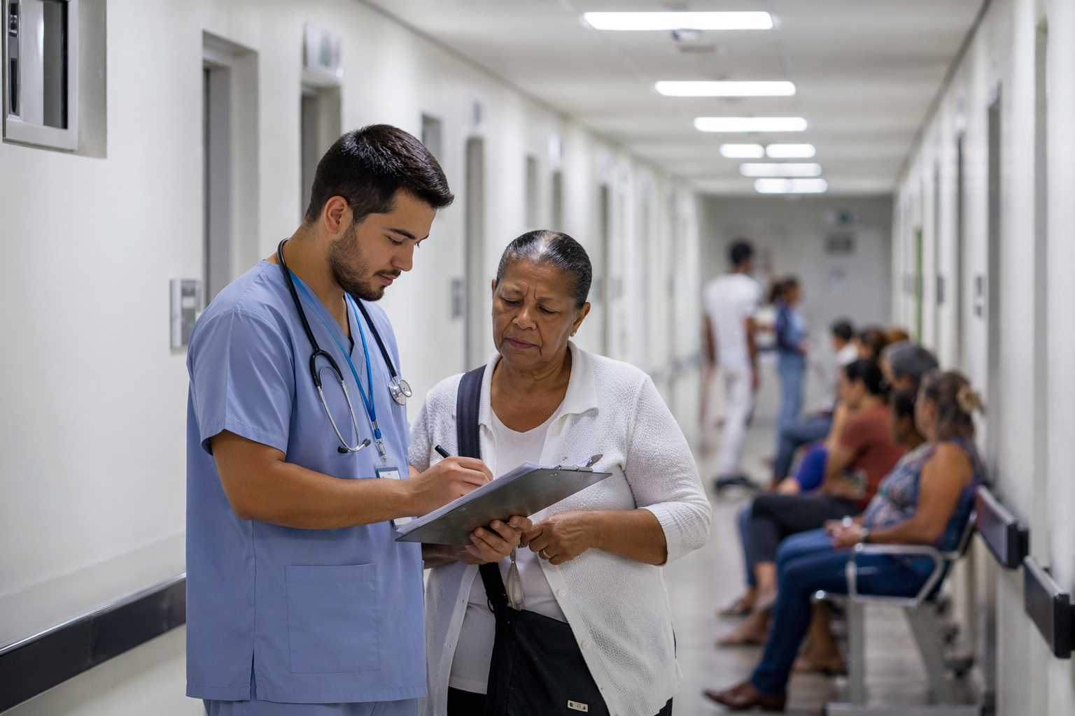
SUS surpasses Brazil and inspires a revolution in health: agreement with Mexico could bring universal, free, and more accessible care to millions of people outside the country.
-
With a total blockade of software, data, and connected systems, the U.S. has completely closed its doors to Chinese cars and transformed vehicles into geopolitical weapons, creating a new technological battlefield that could reshape the global automotive industry.

-
With US$ 65.8 billion and 34 new ships, the U.S. launches a mega naval plan that prioritizes nuclear submarines, strengthens military logistics, and repositions the strategy for prolonged conflicts in the Pacific.

-
Trump pressures NATO in Europe with threats regarding bases and the use of troops in Spain and Germany to punish allies and change the military balance in the bloc.
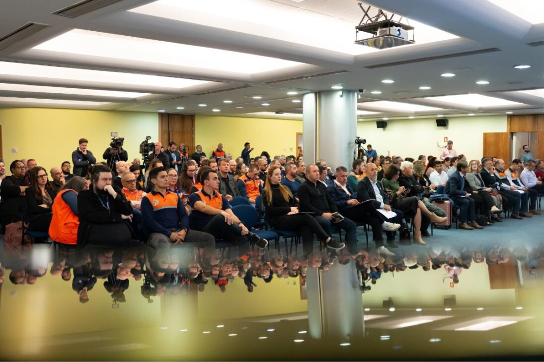
The event, held in Porto Alegre, marked the completion of studies that involved months of intense work and mobilization of more than 40 specialists.
The result was delivered to 95 municipalities that were in a state of calamity. More than just numbers and reports, what is at stake is the possibility of saving lives and reducing losses in cases of natural disasters.
The new hydrological alert system promises to give more predictability to cities, providing real-time updated data.
Thus, the civil defenses will have more conditions to act quickly and protect families. What was once merely a reaction to floods now includes planning and prevention.
Mapping Risk Areas Brings Safety to Residents
The Guaíba River was one of the biggest concerns during the floods of 2024. To prevent tragedies from recurring, the SGB identified 1,944 areas of high and very high risk in 95 cities.
About 564,000 people live in these areas, distributed across approximately 154,000 properties. This data was compiled in detailed reports, which are now in the hands of local municipal governments and civil defenses.
Among the municipalities that received more attention, Caxias do Sul appears with 145 mapped areas. Nova Petrópolis, Gramado, and Veranópolis each had 68 mapped areas, while Igrejinha recorded 49 and Encantado, 45.
These numbers demonstrate the magnitude of the challenge and the importance of public policies aimed at prevention.
The mapping considered visible signs of instability, such as leaning trees, cracks in the ground, and compromised walls. Based on these observations, researchers developed maps and technical reports with guidelines to reduce risks.
Among the recommendations are improvements to the drainage system, installation of monitoring equipment, and more adequate urban planning. All of this reinforces prevention against floods in communities exposed to danger.
Monitoring System Brings Real-Time Information
In addition to the mapping, the highlight was the new Hydrological Alert System of the Guaíba River. With support from 33 hydrometeorological stations, the platform now provides real-time data on rainfall and river levels.
This means that bulletins can be issued before the water reaches the so-called “alert level.”
The tool will directly serve 17 municipalities, including Porto Alegre. It complements other systems already in operation in the basins of the Taquari, Caí, and Uruguai rivers.
Now, the state has four active platforms for flood monitoring.
These resources allow public bodies and the population itself to monitor the river situation. The information is available on the SGB website and is also forwarded to institutions such as CEMADEN, CENAD, and the National Water Agency (ANA).
The partnership with the Hydraulic Research Institute of UFRGS ensured the development of hydrological modeling, made possible with R$ 2 million in emergency funds from the Civil House. The contract provides for two years of implementation, with partial deliveries throughout this period.
This integration of science, technology, and public bodies strengthens the civil defense’s actions, which now has more reliable forecasts to plan evacuations and protect residents.
Emergency Support Strengthens Reconstruction in Rio Grande do Sul
The Guaíba River symbolizes not only the impacts of the floods but also the reconstruction efforts in the state. The studies and systems presented were made possible thanks to extraordinary credit allocated by the federal government after the disaster of 2024.
The Civil House emphasized the importance of the investment, recalling that it was one of the biggest natural tragedies in gaucho history.
Secretary Maneco Hassen, responsible for reconstruction support, reinforced the role of the SGB as a public company that acts in emergency situations.
Director Alice Castilho, representative of the hydrology area, explained that the goal is to provide practical tools for municipalities to reduce geohydrological risks.
More than 40 researchers were directly involved in the emergency action, underscoring the magnitude of the collective effort.
This work also resulted in a database that will be accessible to public bodies at different levels. Thus, each municipality can make decisions based on concrete information, strengthening safety in gaucho municipalities.
Partnerships and Cooperation Expand Response Capacity
The implementation of the new system in the Guaíba River was only possible thanks to the union of institutions. The SGB partnered with the Hydraulic Research Institute of UFRGS, in addition to working with entities such as the ANA and local civil defenses.
This network of cooperation ensures that alerts are faster and more reliable. The launch ceremony brought together representatives from the federal, state, and municipal governments.
Among them were ANA director Cristiane Batiston; the deputy secretary of Water Resources, Irani Braga Ramos; the head of the Military House and State Civil Defense Coordinator, Luciano Boeira; and the general director of DEMHAB, André Machado.
The presence of these leaders underscored the importance of the initiative for the entire metropolitan region.
The strengthening of the monitoring network brings direct benefits for safety in gaucho municipalities and gives the population the peace of mind of knowing that risks are being closely monitored.
By combining technology and institutional cooperation, the municipalities of Rio Grande do Sul are now better prepared for future climate events.


Seja o primeiro a reagir!