 Portuguese
  English
  Spanish
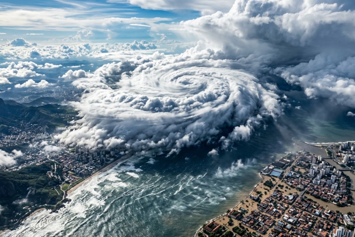
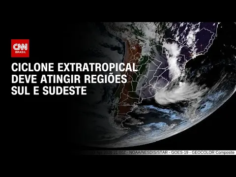
Satellite images show heavy clouds gaining strength and the cold front spreading from the South to the Southeast, with more generalized rain, strong gusts, and danger warnings, while the Northeast continues under heavy rain
The cold front that formed after the passage of an extratropical cyclone is changing the weather in much of the country and concentrating the greatest risks between Rio Grande do Sul and São Paulo. Satellite images display heavy clouds in the South and the advance of instability towards the Southeast, with forecasts of more intense rain and winds gaining strength throughout the day.
At the same time, rain continues to hit areas of the North and Northeast. In Recife, the situation remains critical, with flooded streets and forecasts for more rain until the end of the week, while alerts from Inmet indicate the risk of storms in different states.
Satellite images show the cold front advancing from the South to the Southeast
The forecast begins with satellite images indicating heavy clouds scattered across the South region and already advancing into the Southeast.
-
China has started testing humanoid robots to control its border with Vietnam, and the company behind the project already plans to deliver 10,000 units by 2027 to expand their use across the country.

-
A cave in Morocco reveals jaws, teeth, vertebrae, and a femur dating back 773,000 years that may belong to archaic humans close to the ancestors of Homo sapiens, potentially changing what was known about the origin of our lineage in Africa.

-
Artemis 2 returns in extreme mode: the Orion capsule reenters at over 30,000 km/h, faces 2,700°C, experiences communication blackout, and navigates a narrow corridor, relying on the thermal shield and parachutes to land safely in the ocean.

-
Astronauts from Artemis 2 flew over the side of the Moon that is never visible from Earth and found mysterious formations with such intense brightness that they appeared to be covered in snow.

The extratropical cyclone that caused rain in Rio Grande do Sul is moving away to the ocean, but left as a consequence the cold front, which begins to organize storms from the state of Rio Grande do Sul to São Paulo.
In the capital of São Paulo, the change in weather intensifies. The wind is already appearing strongly, signaling the shift, and the trend is for more generalized rain throughout the day, with showers becoming more intense in the coming hours.
Inmet alert for storms and hail risk in the South region
In Rio Grande do Sul, the dawn may even start with a firmer period in some areas, but alerts remain in effect for Porto Alegre and much of the South.
Inmet issues a warning of potential danger for storms, covering Rio Grande do Sul, Santa Catarina, and Paraná.
Within this scenario, the alert predicts rain between 20 and 30 mm, potentially reaching 50 mm in some locations, in addition to intense winds of up to 60 km/h and hail. The combination of cold front and instability reinforces the risk of storms throughout the day.
Gale in RS can reach 100 km/h and increase risk of damage
In addition to storms, there is a specific warning for gales, more concentrated in the metropolitan area of Porto Alegre and in the east of Rio Grande do Sul, near the coast. In this case, the alert indicates winds of up to 100 km/h or even above 100 km/h, with a high risk of disruptions.
The expected impacts include damage to buildings, power outages, fallen trees, and issues with road transport, in addition to impacts on crops.
It is a direct reflection of the extratropical cyclone, which continues to influence the wind and rain pattern even as the system moves offshore.
São Paulo enters the route of heavy rain and may have gusts of up to 80 km/h
In São Paulo, the forecast indicates that heavy rain is spreading and gaining strength, with danger alerts not only for the capital but for the entire state.
Wind gusts can reach 80 km/h in São Paulo, with a similar scenario also in areas of Paraná and Santa Catarina, including capitals.
The cold front still influences the temperature pattern in the coming days. The capital of São Paulo, for example, may start with a higher maximum and end the week with a cooler feel, with lower minimums and maximums, following the advance of cold air after the rain.
Northeast continues under heavy rain: Recife remains flooded and forecasts more rain
In the North and Northeast, the rain does not give a break. In Recife, the situation is described as persistent, with accumulated water and disruptions.
The text reports a collapse of a large house that left two dead and two injured, in addition to overflowing rivers and streets taken by water, with classes being suspended.
The forecast indicates more rain until the end of the week, with storms between Rio Grande do Norte and Pernambuco. For today, the estimated amount mentioned is up to 50 mm in Recife, while Natal and João Pessoa may reach 40 mm. Stable weather appears only in the interior of Bahia and in a strip extending to the north of Minas Gerais.
North with cloudy weather and pre-frontal heat before the cold front
In the North region, the highlight is Manaus with cloudy weather and the possibility of rain of up to 30 mm. In Rio de Janeiro, there is a warning of strong winds of up to 80 km/h, with the typical pattern of pre-frontal heat, when temperatures rise before the arrival of the cold front, with a maximum mentioned of 36°C.
In the South, the contrast also appears: Florianópolis may record higher heat today, but, as the rain is associated with the cold front, cooling will follow, with lower maximums in the coming days.
In your city, has the cold front already arrived or is the weather just starting to change now?


Seja o primeiro a reagir!