 Portuguese
  English
  Spanish
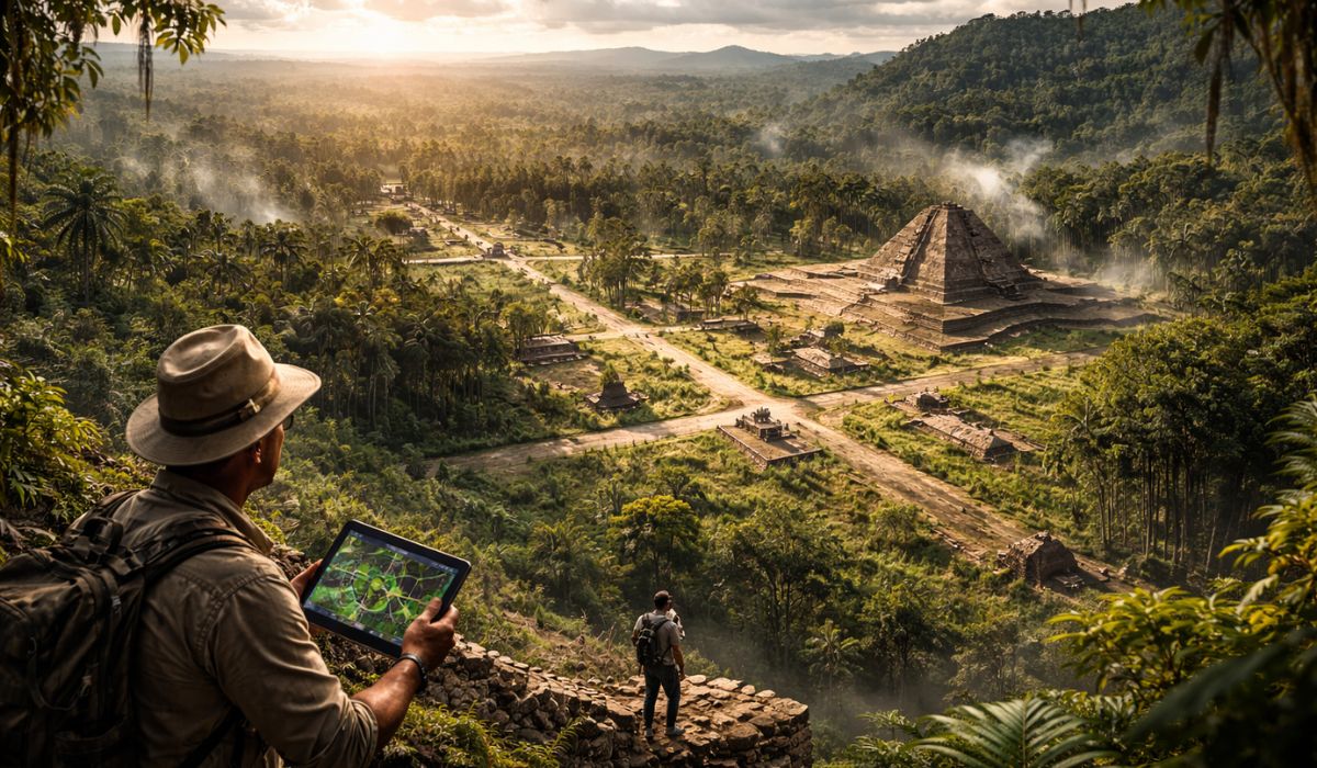
A mapping under the forest places the Upano Valley at the center of archaeological debate and increases interest in how ancient Amazonian societies organized space, circulation, cultivation, and collective life in a landscape transformed over centuries.
Upano Valley enters the map of Amazonian archaeology
A network of pre-Hispanic settlements identified in the Upano Valley, in eastern Ecuador, has become central to research on the history of the Amazon.
Under the forest, archaeologists mapped earth platforms, plazas, straight roads, and agricultural management areas associated with a lasting occupation.
The study published in the journal Science recorded more than 6,000 elevated platforms, while subsequent analyses indicated that human presence in the valley began before the construction of these monumental structures.
-
Scientists dive into an underwater cave in Texas and find a rare fossil treasure with giant sloths, saber-toothed tigers, giant turtles, and other creatures from about 100,000 years ago.

-
Bag “made of T. rex” becomes a sensation in the news after being valued at millions and raising questions about the true origin of the material.

-
With 1,000 buses sent abroad, the Brazilian manufacturer consolidates the strength of national technology and takes on a leading role in public transportation across all of Latin America.

-
While surpassing the mark of Apollo 13 and reaching farther from Earth than any other human mission, Artemis II named two craters on the Moon and immortalized in one of them the memory of the commander’s deceased wife.
LiDAR reveals structures beneath the tree canopy
The mapping only gained this scale with the use of LiDAR, a remote sensing technique that emits laser pulses and allows for the reconstruction of the terrain beneath the tree canopy.
The tool revealed a broad set of structures and connections between different occupation cores, something that localized excavations had already suggested, but without the same spatial scope.
According to the researchers, the data showed an organized mesh of settlements in an area of about 300 square kilometers.

Platforms, plazas, and roads in the site layout
Among the identified elements are rectangular platforms of compacted earth, many of them distributed around plazas, as well as larger sets interpreted as ceremonial or public spaces.
The survey also recorded straight and wide roads, some several kilometers long, connecting different sectors of the valley.
For the authors, this pattern of implementation indicates coordination among the settlements and planning in circulation between residential areas, collective spaces, and production zones.
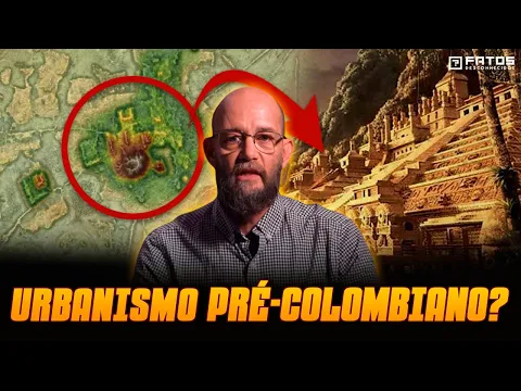
How researchers describe urbanism in Upano
Part of the literature and coverage of the site has begun to use the expression “garden cities” or “garden urbanism” to describe this arrangement.
In the case of Upano, the term refers to the integration of housing, circulation, ceremonial spaces, and agricultural areas in the same constructed landscape.
Instead of a single and compact core, what LiDAR revealed was a network of articulated cores, with earthworks and environmental management distributed across different points in the valley.
Ancient agriculture and landscape management
The excavations and complementary analyses help to detail this picture.
Remains recovered at the site and its surroundings indicate the use of drainage systems and the presence of crops such as corn, cassava, beans, and sweet potatoes, in addition to other management practices.
In 2025, a paleoecological study based on sediments from Lake Cormorán recorded signs of corn cultivation around 570 B.C. and described changes in land use over the period of occupation.
Chronology of the Upano Valley becomes more precise
The chronology of the valley has also become more precise with the publication of these works.
The 2024 article pointed out that the construction of the platforms and roads occurred between around 500 B.C. and 300/600 A.D., associated with the Kilamope groups and later, Upano.
The 2025 study indicated an earlier human influence in the territory and suggested a gradual decline in intensive land use until around 550 A.D., rather than an abandonment caused by a single abrupt event.
What the discovery changes in the reading of the Amazon
The results have been used by archaeologists and other specialists to revise old interpretations of Amazonian occupation.
For a long time, part of the scientific literature described extensive areas of the forest as regions of low population density and limited human transformation.
The case of Upano adds to other evidence found in different parts of the Amazon and reinforces the assessment that there were societies with public works, organized agriculture, and extensive modifications of the landscape before European colonization.
Population estimates remain under debate
The population dimension of this system is still not treated as a closed consensus in the literature, but reports published from the 2024 study cited an estimate of at least 10,000 inhabitants for the set of settlements.
As the number depends on archaeological projections and not on direct counting, researchers continue to treat this measure with caution.
Even so, the scale of the platforms, roads, and management areas is presented in studies as evidence of continuous occupation and large-scale collective work.
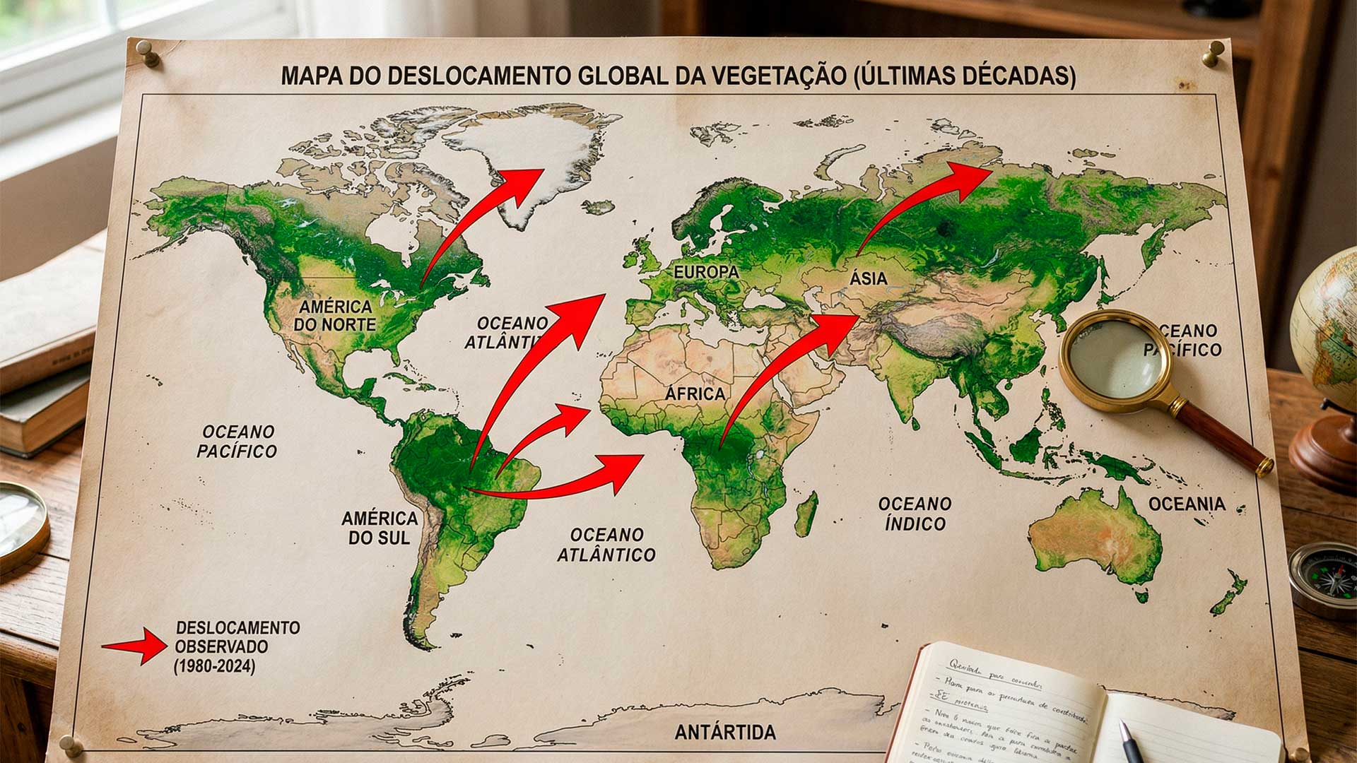
Current forest also carries marks of this occupation
Another point highlighted by the authors is that the current forest cannot be interpreted merely as a passive backdrop to this history.
The research published in Nature Communications states that the contemporary composition of vegetation in the region carries marks of ancient human uses, in addition to later transformations and more recent climatic effects.
In this sense, the valley is studied not only as an archaeological site, but also as a record of prolonged interactions between society and the environment.
New excavations should deepen the investigation
The next steps of the investigation include new localized excavations, analysis of ceramics, botanical remains, and sediments, as well as the refinement of chronologies through dating.
According to researchers linked to the CNRS, the LiDAR mapping has expanded the understanding of the area, but does not replace the fieldwork necessary to define the function of each structure and the dynamics of occupation of the valley.


Seja o primeiro a reagir!