 Portuguese
  English
  Spanish
Municipal Project Proposes To Transform Rivers And Reservoirs In São Paulo Into An Urban Mobility And Inland Logistics Network, Connecting South Zone Water Sources To The Main Watercourses Of The City And Integrating Passenger, Cargo And Urban Services Transport In A Waterway System Planned For The Long Term.
The City Hall of São Paulo is organizing the Municipal Waterway Plan, an initiative that aims to transform reservoirs, rivers, and canals in the capital into a circulation network for passengers, cargo, and urban services.
The proposal is part of PlanHidro SP, a tool created to organize the multiple uses of water and connect policies on mobility, sanitation, waste, leisure, and urban development.
According to the design presented by the municipal administration, the network includes the reservoirs Billings and Guarapiranga, the upper and lower sections of the Pinheiros River, the central canal and the eastern canal of the Tietê River, as well as the Tamanduateí channels.
-
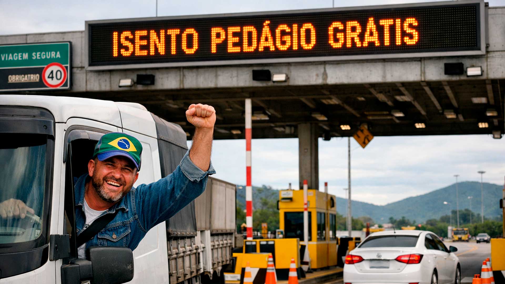
These are the drivers who may stop paying tolls on highways in a project that promises to reduce costs for those who live from transportation in Brazil.
-
(Video): Italian pilot lands plane on moving train at 120 km/h and achieves unprecedented feat in aviation, even with a narrow runway and without direct visual contact.

-
It seems to have come out of a science fiction movie: A Brazilian city where it rains almost every day, recording over 4,000 mm per year, driven by climatic factors — a direct result of its strategic location in the Amazon.

-
The water crisis that could change everything this year has already begun; it’s not just about the climate, it affects technology, raises product prices, and can halt entire companies without warning.


The city hall reports that the plan considers seven urban waterways and is working with a long-term implementation horizon, with actions spread over about 30 years.
Waterway Connection Between South Zone Reservoirs And The Capital Rivers
The connection between the south zone and the Tietê appears as one of the most visible fronts of this planning.
The logic is to create a continuous waterway axis starting from water source areas, following through canals connected to the Pinheiros and then to the Tietê.

Although the complete municipal project addresses a broader network, the highlighted connection between these systems could form an urban corridor of dozens of kilometers within the capital.
The proposal is not limited to the movement of people.
Since the public consultation opened in November 2024, the city hall claims that the plan was designed to also allow the transport of cargo, especially waste and materials supporting urban services.
The guideline, according to the administration, is to reduce reliance on road transport in stretches where navigation is technically feasible.
This model also aims to lessen pressure on the roadway system and create potential integration with other municipal policies.
Ecoports And Support Structures For Water Transport
In this model, ecoports play a central role.
The maps and documents from the public consultation show these facilities as support structures for waterway operations.
These points should concentrate functions for boarding, disembarking, connections with the waterfront, and logistical support.
In institutional material presented by the city hall in September 2025, the proposal began to foresee more than 30 ecoports and ecoparks distributed along the future waterway network.
The intention is to create support points capable of fulfilling different functions of the system, including urban logistics and integration with public areas near the riverbanks.
Origin Of PlanHidro SP And Legal Basis Of The Project
The formulation of the PlanHidro SP gained a legal basis after the interim review of the Strategic Master Plan, completed in 2023 by Law No. 17.975.
The elaboration was the responsibility of an intersecretarial working group coordinated by the Municipal Secretariat of Urbanism and Licensing.
Other municipal agencies also participate in the structuring of the project.
The city hall also signed a technical cooperation agreement with USP to support feasibility studies for the architectural and urban characteristics of the São Paulo riverfront.
Initial Priorities In The Billings And Guarapiranga Reservoirs
Although the plan addresses a more extensive network, the implementation should proceed first where the conditions are considered less complex.
The city hall itself reports that the initial stages prioritize Billings and Guarapiranga.
Factors such as water quality, availability of public areas, and the established relationship of the local population with these territories influence this choice.
Next, the Pinheiros and Tietê rivers are seen as later phases of the system.
These stretches require more complex technical and environmental assessments, including navigability, depth, and water quality.
Aquatic Mobility Goals Set For The Next Years
This scope helps explain why the south zone concentrates the most immediate goals of the current government program.
In the area of mobility, the city hall records as goals the construction of the Pedreira/Mar Paulista Terminal and the initiation of the Cocaia Terminal.
Also planned is the contracting of works for two new docks in Billings, at Pedreira and Cocaia points.
The actions also include marking and nautical signaling of the navigation channel between these stretches.
The planning also includes studies for the Apurá dock.
Studies Underway To Enable The Waterway In Guarapiranga
In the case of Guarapiranga, the official planning is still in the preparatory phase.
The management’s Goals Program establishes the preparation of a navigability study for the urban waterway of the reservoir.
Also planned are technical and environmental studies for navigation channels and new docks, citing Guaraci, Santapaula, and Clube Náutico.
These analyses should guide the definition of works and an execution schedule for the expansion of the waterway system in the region.
Public Consultation And Consolidation Of The Waterway Plan
The public consultation launched on November 8, 2024, offered technical notes, presentations, and eight maps identifying the urban waterways.
The material also indicated proposals for ecoports, ecoparks, bridges, and connections with the waterfront.
After this process, the city hall informed that it would consolidate the final version of the plan.
In December 2024, the administration stated that the publication of the officialization decree was expected for 2025.
Subsequent communications from the city hall continue to treat PlanHidro SP as a proposal in progress, without detailing a fixed timeline for the start of works in the stretches of the Pinheiros River and the Tietê River.
The project combines a more concrete front in the reservoirs of the southern tip with a larger ambition of reconnecting São Paulo with its rivers and expanding the use of urban waters for mobility, logistics, and revitalization of the waterfront.


-

-

-

-

-

18 pessoas reagiram a isso.