





 Portuguese
  English
  Spanish
  4 min of reading
  0 comments


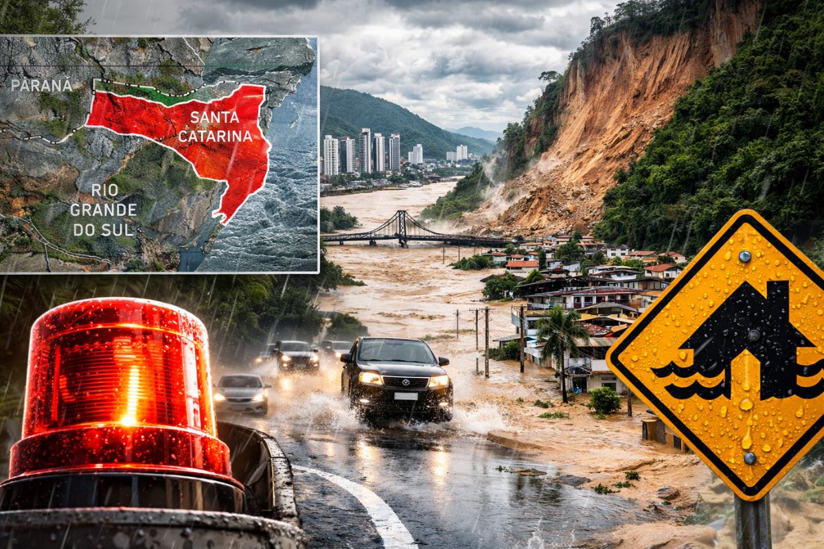
Santa Catarina faces persistent and heavy rain caused by the deepening of a low-pressure area and intensification of sea moisture with accumulations between 80 and 130 millimeters expected in the Lower Itajaí Valley and Greater Florianópolis, and cities like Balneário Camboriú have already registered more than 82 millimeters in 12 hours.
The Civil Defense of Santa Catarina issued a warning for persistent and heavy rain in part of the state’s coastline, the Itajaí Valley, and Greater Florianópolis. According to the portal of ndmais, the warning is valid for this Monday (6) and the early hours of Tuesday (7), with a high to very high risk of flash floods, flooding, and landslides in certain regions of Santa Catarina. The expected volumes are significant: between 80 and 130 millimeters of accumulated rain in the most critical areas.
The impacts have already begun even before the predicted peak. In just 12 hours, Balneário Camboriú recorded 82.63 millimeters of rain, which flooded streets and complicated the daily routine of residents. Itajaí also reports several flooding points. The scenario is expected to worsen between Monday night and Tuesday morning, when the rain should intensify over Santa Catarina, and the recommendation from the Civil Defense is clear: do not cross flooded streets or submerged bridges.
What is causing the heavy rain in Santa Catarina
The meteorological phenomena behind this intense rain in Santa Catarina are two, acting together. The first is the gradual deepening of a low-pressure area over the interior of the continent, which destabilizes the atmosphere and favors the formation of heavy clouds.
-
The largest telescope in Hawaii targets the Crystal Ball Nebula 1,500 light-years from Earth and captures the light that left a dying star at the same time Charlemagne was founding the Holy Roman Empire: the cosmic sculpture was shaped by a pair of stars that dance every 9 years.

-
Chinese ship nicknamed Bohai Sea Monster appears with four supports under the wings and draws the attention of military analysts in the Bohai Sea.

-
Human brains without bodies are kept “alive” in a laboratory in the USA to test drugs against Alzheimer’s and Parkinson’s while scientists face a debate about consciousness after death.
-
Tiny robots inspired by ants can build and demolish structures on their own in a Harvard experiment.


The second is the intensification of moisture transport coming from the ocean towards the Santa Catarina coast; the sea is continuously feeding the rain with water vapor.
This combination means that the rain in Santa Catarina does not come in isolated bursts but persistently over many hours.
The persistence is what makes the event dangerous: even if the intensity is not extreme at every moment, the accumulation throughout the day and night can exceed 130 millimeters in some areas, saturating the soil and rapidly raising the levels of rivers and streams. It is this sustained volume that generates flash floods and landslides even in places that do not usually flood.
Which regions of Santa Catarina are at greater risk
The Lower Itajaí Valley and Greater Florianópolis are the areas expected to register the highest accumulations between 80 and 130 millimeters.
Part of the Middle Itajaí Valley and the North Coast of Santa Catarina are also under alert, with similarly high accumulations predicted by the Civil Defense. These regions concentrate dense populations, urbanized slopes, and watercourses that respond quickly to large volumes of precipitation.
The risk of flash floods, flooding, and landslides is classified as high to very high in these areas. For roof removals, damage to the electrical network, and falling branches and trees, the Civil Defense of Santa Catarina classifies the risk as low, indicating that wind is not the main problem in this event. The threat comes from the volume of water, not the strength of the wind.
Those living on slopes, riverbanks, or areas with a history of flooding should be extra cautious between Monday night and Tuesday morning.
What is already happening in Santa Catarina before the peak of the rain
The first consequences are already visible. Balneário Camboriú accumulated 82.63 millimeters in just 12 hours, a volume that, in many cities, represents almost half of the average monthly rainfall for April.
Streets were flooded, traffic was complicated, and residents faced difficulties in moving around. Itajaí, in the same region of the Itajaí Valley, also reports multiple points of flooding with a direct impact on the city’s routine.
The fact that these volumes were recorded before the most critical period predicted by the Civil Defense is concerning. If an additional 80 to 130 millimeters are added to what has already fallen, the saturated soil of Santa Catarina will not have the capacity to absorb the additional water, and the rivers that are already at elevated levels may overflow quickly.
The trend is that the next few hours will be the most delicate of the event, and real-time monitoring of the Civil Defense alerts is essential for those in the affected regions.
How to protect yourself during the heavy rain in Santa Catarina
The Civil Defense of Santa Catarina makes direct recommendations for the population in the alert areas. During storms, seek a sheltered location, away from windows and objects that may be thrown.
In case of strong winds, avoid moving or taking shelter near trees, signs, walls, and power poles; even if the wind risk is classified as low in this event, isolated gusts may occur during more intense bursts.
The most important guidance concerns water on the streets. Never cross flooded streets or submerged bridges and walkways in Santa Catarina or anywhere; the force of the current is underestimated by most people, and just 30 centimeters of flowing water can sweep away an adult.
Vehicles are carried away with even less. Those living in hillside areas should be alert to signs of soil movement, such as cracks, leaning poles or trees, and unusual noises in the ground. In case of any signs of risk, evacuate immediately and contact the Civil Defense.
Are you in the alert regions of Santa Catarina? How is the situation in your city? Share in the comments and help inform those who need this alert.


-

-

2 people reacted to this.