Science and Technology China launches a satellite that performs a “tomography” of the Earth, sees beyond the human eye, and promises to reveal gold, methane, diseased crops, and invisible environmental threats, while preparing a constellation of 158 units by 2030. Ana Alice 17/05/2026 at 11:01
Science and Technology China calls Brazil a strategic partner in space and highlights the CBERS satellite that monitors deforestation in the Amazon, cooperation with dozens of countries, the use of advanced data, and projects on the Tiangong station. Alisson Ficher 25/04/2026 at 14:44
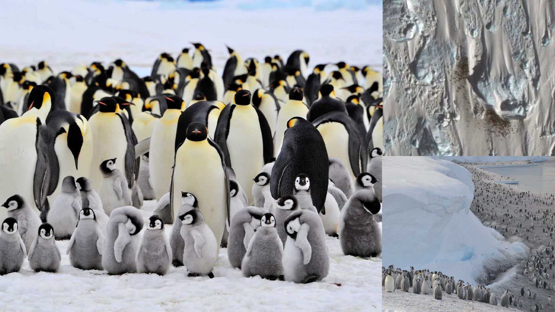
Interesting facts Penguins Left Guano Marks On The Ice, And Years Later, Scientists Found New Colonies Just By Looking At Satellite Images, Revealing A Map That No One Had Before Alisson Ficher 28/01/2026 at 15:51
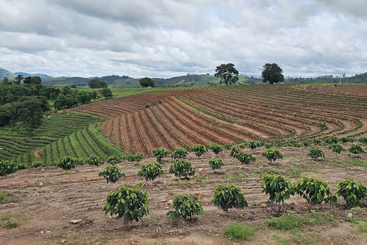
Science and Technology Remote Sensing Revolutionizes Coffee Farm Mapping with AI by Integrating Landsat and Sentinel-2 Images and Boosting Digital Agriculture in Brazil Rodrigo Souza 28/10/2025 at 08:14