
 Portuguese
  Spanish
Two polar cold air masses hit Southern Brazil: the first drops temperatures to 0°C with frost between Sunday (3) and Monday (4), and the second cold wave is shaping up for Mother’s Day with the possibility of negative readings in high-altitude areas in Rio Grande do Sul and Santa Catarina.
Southern Brazil will face two consecutive cold waves that have the potential to freeze mountain towns and drop thermometers below zero in multiple regions. The first polar air mass enters on Saturday (2) after the passage of the cold front that brings rain between Friday (1) and Saturday, and gains intensity throughout the weekend with Sunday (3) and Monday (4) mornings considered the coldest of the period, when areas of the Serra do Sudeste and Campos de Cima da Serra in Rio Grande do Sul may register temperatures of 0°C or negative values with risk of frost. The change will be accompanied by moderate winds with gusts between 50 km/h and 60 km/h, especially in coastal areas and near Lagoa dos Patos.
Even before the cold of the first wave subsides, another is already on meteorologists’ radar. “And for Mother’s Day, a polar cold air mass is shaping up,” warns Climaterra agronomist Ronaldo Coutinho, indicating that the second week of May could start with a new episode of extreme temperatures that will hit Southern Brazil in a sequence that sets a pattern of persistent cold for the beginning of the month. The proximity between the two waves means that thermometers will have little time to recover between one event and another, and those living in high-altitude areas may face consecutive days of intense cold without significant respite.
How the first cold wave will hit Southern Brazil

The cold begins to settle in on Saturday (2) with greater intensity in Rio Grande do Sul, advancing to Santa Catarina and Paraná over the following days. The polar air mass arrives after the passage of the cold front that causes rain between Friday and Saturday, and when the frontal system moves away to the ocean, the cold air behind it finds clear skies that favor rapid heat loss during the night, a condition that drops thermometers on Sunday and Monday mornings. On Sunday (3), the sun reappears in much of the region, but the presence of the cold air mass prevents temperatures from rising significantly during the day.
-
Scientists Predict Earth’s Habitable Lifespan: 1.8 Billion Years Before Oceans Evaporate and Sun Forces Planet Out of Life Zone

-
LG Unveils XBOOM Stage 501 Portable Speaker with 25-Hour Battery, AI Karaoke, and Sound by will.i.am in Brazil

-
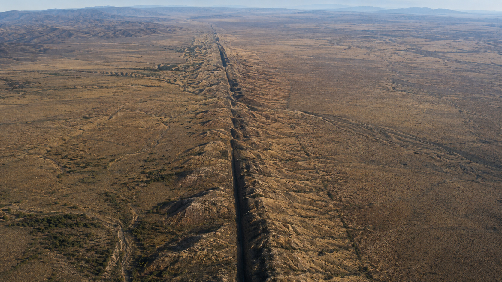
Scientists Warn San Andreas Fault Holds Highest Seismic Tension in 1,000 Years, Renewing Fears of “The Big One” Megaquake on U.S. West Coast

-
Brazil Advances with 14-X Hypersonic Project to Achieve Speeds Over Mach 5, Surpassing Concorde, After Two Decades of Research


The predicted minimums are sufficient to cause frost in several areas. In Rio Grande do Sul, thermometers may approach 0°C or even register negative values in the Serra do Sudeste and Campos de Cima da Serra, while in other regions of the state, minimums should vary between 5°C and 10°C with even lower readings in isolated spots. The frost forecast is strongest for Sunday, when the combination of clear skies, calm wind, and low humidity creates ideal conditions for the formation of ice crystals on vegetation and exposed surfaces. On Monday, the phenomenon may still occur, but more isolated and with less intensity as the cold begins to lose strength.
What winds of up to 60 km/h mean for those facing the cold
The cold wave does not arrive alone: it brings winds that amplify the wind chill and can cause problems in exposed areas. Gusts between 50 km/h and 60 km/h are expected mainly in coastal regions and near Lagoa dos Patos, an intensity sufficient to knock down branches, tear off awnings, and make it difficult to stay outdoors in cold conditions that thermometers alone do not capture. The wind chill with a 60 km/h wind can make a temperature of 5°C feel like minus 5°C on the skin, multiplying discomfort and risk for homeless people, the elderly, and children who are more vulnerable to prolonged cold exposure.
The winds also affect navigation and fishing activities on the coast of Rio Grande do Sul and Santa Catarina. Smaller vessels should avoid going out to sea during periods of more intense gusts, and artisanal fishermen who depend on calm conditions to operate face days of forced stoppage that reduce income precisely when the cold increases domestic costs for heating and food. For drivers, crosswinds on exposed highway stretches can affect the stability of tall vehicles such as trucks and buses, requiring reduced speed and increased attention.
The second cold wave that could freeze Mother’s Day
The most striking forecast is the possibility that a second polar air mass will reach Southern Brazil near Mother’s Day, celebrated on the second Sunday of May. “It will get cold again. Another cold air mass arrives on Sunday, with temperatures below zero in some parts of Rio Grande do Sul and Santa Catarina,” predicts Ronaldo Coutinho from Climaterra, indicating that higher altitude areas may register negative lows that turn Mother’s Day weekend into an occasion where heavy coats are as necessary a gift as flowers and chocolates. The confirmation of the intensity of this second wave depends on the evolution of atmospheric systems in the coming days, but meteorological models already consistently signal the pattern.
For those planning outdoor Mother’s Day celebrations, the second cold wave requires attention to the updated forecast. Lunches at restaurants with outdoor areas, park strolls, and trips to the Serra region may be affected by temperatures that will be cold at best and could approach zero at worst, a scenario that doesn’t prevent celebration but necessitates adapting clothing and choosing the location. The recommendation is to monitor the forecast in the days leading up to the date and have an alternative plan for indoor environments if the cold is confirmed with the intensity indicated by experts.
What the two cold waves reveal about May’s climate pattern in the South
The sequence of two polar air masses in less than two weeks signals that May has arrived with a winter vocation in Southern Brazil. The month historically marks the transition between autumn and conditions closer to winter in the region, and the consecutive action of polar systems indicates that the atmosphere is configured to bring episodes of intense cold with a frequency that may repeat over the following weeks. For agriculture, especially fruit and horticulture, the predicted frosts represent a risk of damage that producers need to anticipate with crop protection measures.
The cold that freezes the South also finds a natural obstacle in central Brazil. The polar air masses that drop thermometers below zero in the Serra Gaúcha and Santa Catarina plateaus lose strength as they advance northward, and tropical warming prevents the most extreme cold from reaching states like São Paulo and Minas Gerais with the same intensity. The result is the contrast that Brazil repeatedly experiences at this time of year: while the South freezes, the Central-West and North maintain mild or warm temperatures, a climatic division that makes the country seem like two different continents occupying the same territory.
And you, are you prepared for the two cold waves? Do you plan to celebrate Mother’s Day in the cold of the Serra or the warmth of the coast? Leave your opinion in the comments.


