
 Portuguese
  Spanish
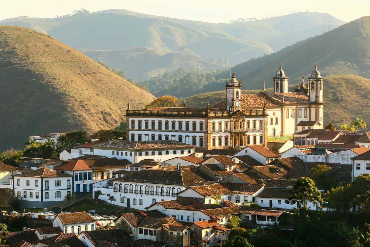
The History Of More Than One Brazilian City Colonial Was Forged By The Direct Sight Of Gold And Other Valuable Minerals. Discover How The “Gold Rush” And The Apparent Geology Shaped Iconic Settlements Like Ouro Preto, In Minas Gerais.
The formation of many historic cities in Brazil is intrinsically linked to the relentless pursuit of mineral wealth. The “Gold Rush” that swept the country between the 16th and 18th centuries drove the occupation of vast territories. In many cases, the simple sight of minerals shining on the surface – the land literally “bleeding” its wealth – was the trigger for the birth of more than one Brazilian city.
This article explores how the visual perception of geology, long before the existence of formal technical surveys, determined the location and the initial configuration of important urban centers. We will focus on how this search for gold on the surface shaped an emblematic Brazilian City like Ouro Preto and other important mining localities.
Purely Visual Prospecting And The Discovery Of The “Eldorados” In Colonial Brazil
Devoid of modern geological tools, the bandeirantes and early explorers of colonial Brazil critically relied on their observational skills to locate mineral deposits. The most impactful form of discovery was the visualization of outcrops where gold was evident, such as in the riverbeds of Mariana, or the “ouro preto” in Vila Rica.
-
Survivor of 1966 SS Daniel J. Morrell Shipwreck in Lake Huron Recounts 38-Hour Ordeal in Extreme Cold

-
The Greatest Hoax in World Cup History? The Film That Denied Brazil’s 1958 Victory and Exposed How Fake Evidence Can Seem Convincing on TV
-
Fake South Korean Online Stores Offer Shopping Thrill Without Spending Money or Receiving Products
-
The War of Jenkins’ Ear: How a Severed Ear Sparked One of the 18th Century’s Most Unusual Conflicts


Besides visible gold, they learned to recognize indicator rocks like “canga” (a ferruginous crust associated with gold in the Iron Quadrilateral) and brilliant itabirites (iron formations). Quartz veins, standing out as white stripes, were also important targets, as the association between gold and quartz was known.
The “Chromatography” Of The Earth As A Map To Gold
The coloration of the soil and rocks provided crucial clues. Reddish, yellowish, and brown tones could signal the oxidation of sulfide minerals, often associated with gold deposits. The most famous example is the “ouro preto” of Vila Rica, named for the dark patina of iron oxide that covered it.
The “shine” of certain landscapes was also a strong attraction. Itabirites rich in mica or specularite (a variety of hematite) could shine in the sun, like in Serra da Piedade (legend of Sabarabuçu), serving as a beacon for explorers in search of the wealth of this future Brazilian City.
How Visible Geology And Mineral Wealth Named More Than One Historic Brazilian City
The mark of geology became immortalized in the names of many cities. Ouro Preto is a direct reference to the dark color of the local gold. Ouro Branco, on the other hand, alludes to a gold of a paler shade or a possible natural alloy with palladium.
The toponym Itabira has roots in the Tupi language, meaning “pointed stone” or “shining stone”, connecting the city’s name to the aspect of its iron ore mountains. Diamantina, formerly known as Arraial do Tijuco, had its name changed to reflect the abundance of diamonds, its main wealth. These names were a statement of the economic purpose of the emerging Brazilian City.
Gold In Sight, City At The Door
The location of the first settlements was dictated by the immediate proximity to visible mineral outcrops. In Ouro Preto, the initial nuclei arose directly around the exploration areas. This logic often led to the occupation of geographically challenging terrain.
The rugged terrain, a result of the same geological structures that exposed the ores, shaped organic urban layouts. Winding streets adapted to the contours of the land, following veins and streams. The apparently “chaotic” morphology of many mining cities is, in fact, a direct reflection of these foundational choices, making each Brazilian City with this origin a unique example of adaptation.
The Landscape As A Living Witness To The Geological Origin Of Each Brazilian Mining City

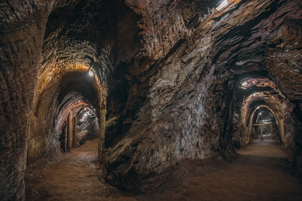
The transformations in the landscape by the early mining activities – excavated slopes, diverted rivers – are visible historical records of the era when the “land bled minerals”. The Serra de Ouro Preto, for example, was nearly entirely affected.
Even after the decline of mining, the geological framework continues to influence urban development and cultural identity. Understanding this visually oriented urban genesis is crucial not only for history but also for contemporary planning and heritage management in these historic cities, ensuring that each Brazilian City with this legacy can thrive while preserving its essence.


Be the first to react!