






 Portuguese
  Spanish
  5 min of reading
  0 comments


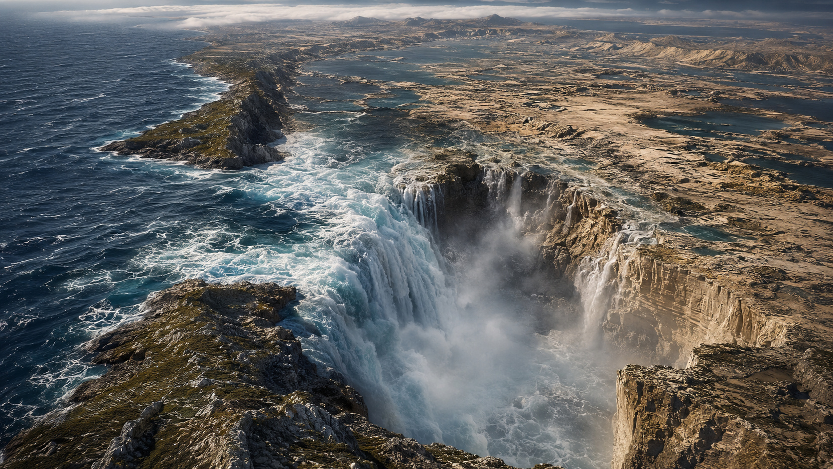
Study reconstructs the Zanclean Flood, an event that filled the Mediterranean 5.33 million years ago with a flow up to 500 times greater than the Amazon.
According to the University of Southampton, a study published in January 2025 in the journal Communications Earth & Environment gathered the most comprehensive chain of evidence ever produced about the Zanclean Flood, the geological event that ended the Messinian Salinity Crisis and returned the Mediterranean Sea to the map 5.33 million years ago. The research was led by Aaron Micallef from the Monterey Bay Aquarium Research Institute, with participation from scientists at the University of Southampton, the University of Malta, and other institutions.
The team identified more than 300 asymmetric ridges aligned in the direction of the flood in a corridor crossing the Sicily Sill, as well as a W-shaped channel 20 kilometers wide on the continental shelf east of the structure. According to the study, the discharge varied between 68 and 100 Sverdrups, equivalent to 340 to 500 times the flow of the Amazon River, with speeds of up to 32 meters per second, or 115 km/h.
Messinian Salinity Crisis dried up the Mediterranean for 640 thousand years
According to the University of Southampton, the Messinian Salinity Crisis began between 5.97 and 5.33 million years ago, when the connection between the Atlantic Ocean and the Mediterranean Sea was gradually blocked by tectonic movements in the region of the current Strait of Gibraltar. Without sufficient replenishment of Atlantic water, evaporation began to exceed the inflow of water from rivers and rain.
-
At 29 years old and tired of the corporate routine, a young man leaves his 11-year career, sells almost all his possessions, buys a sailboat, and sets off from Oregon to Hawaii accompanied only by his cat.

-
Saudi takes his Toyota Hilux 4×4, leaves Riyadh, crosses 23 countries, and drives about 6,000 kilometers for almost three weeks to northern Norway to fulfill the dream of seeing the northern lights.

-
An 84-year-old mother wakes up before midnight in Japan, keeps a family bakery open for 55 years, and sells cheap handmade bread; the shop in Fukuoka produces up to 400 units a day with the help of her son.

-
Tired of seeing her salary disappear with the mortgage, a 24-year-old sells her £125,000 house, buys a van for £13,000, invests £6,000, transforms the vehicle into a home, and decides to live on the roads of Europe.




As a result, the Mediterranean began to shrink. The shallow areas dried up first, while the dissolved salt in the water was left behind, forming increasingly thick deposits. At the peak of the crisis, the Mediterranean basin turned into a salt desert with some isolated hypersaline lakes in the deepest parts.


The change did not only affect the landscape. According to the study, the climate of Europe and North Africa became drier and more extreme, while many marine species in the Mediterranean disappeared or survived only in connected oceans.
The 300 ridges of Sicily are the physical proof of the Zanclean Flood
According to the University of Southampton, the major difference in Aaron Micallef’s study was connecting evidence on land and at the seabed in a much more comprehensive way than previous research. The 300 asymmetrical ridges identified in southeastern Sicily act as preserved hydrodynamic marks of the flow that passed through the region.
These ridges have a sloped side, from where the water would have come, and a steep side, to where the water flowed. Their tops contain eroded and redeposited rocky material by the force of the current, indicating an event with enough energy to move large mass blocks.
The preservation of these forms for 5 million years also caught the researchers’ attention. According to the team, this suggests that the flood was so intense that it quickly buried these structures under protective sediments, reducing destruction by subsequent erosion.
W-shaped channel in the Sill of Sicily shows how water was funneled to the eastern Mediterranean
According to the University of Southampton, the W-shaped channel found on the continental shelf east of the Sill of Sicily is the piece that connects the ridges on land to the Noto Canyon, already in the deep sea. The unusual geometry reveals how the water carved the terrain as it advanced at high speed.
The channel is 20 kilometers wide, a dimension greater than the current Strait of Gibraltar, and it formed because the flow deepened the more fragile areas of the seabed more rapidly, creating two parallel valleys separated by a central ridge. Upon reaching the edge of the plateau, the water plunged down the submarine canyon towards the eastern basin.

According to the computational models of the study, the flood was self-accelerating. The more the flow eroded the channel, the wider and deeper it became, which increased the flow rate and further expanded the erosion. It was in this process that the maximum speed of 115 km/h would have been reached.
Zanclean Flood moved more water than all the rivers on Earth combined
According to the University of Southampton, the total volume discharged by the Atlantic into the Mediterranean was about 1.7 million cubic kilometers, a value comparable to the current volume of the Mediterranean itself. To transport all this within a period of two to 16 years, the discharge needed to reach between 68 and 100 Sverdrups.
The most impressive comparison is with the planet’s rivers. The study states that all the largest rivers on Earth together move about 1.2 Sverdrup, which means that the Zanclean Flood would have flowed between 57 and 83 times more water than all the rivers in the world combined at the same time.

This scale explains why the flood not only filled the Mediterranean but also transformed the marine ecosystem of the basin in a geologically instantaneous interval. As the waters rose, marine species recolonized the region, and new oceanic sediments began to cover the ancient Messinian salts.
Study by the University of Southampton reinforces that the end of the dry Mediterranean was catastrophic
According to the University of Southampton, the discovery goes beyond regional geology because it shows the persistence of extreme landforms over millions of years. For Aaron Micallef, the evidence reveals a critical moment in Earth’s geological history and helps explain how high-energy processes leave lasting signatures on the landscape.

The team also highlights that these marks can serve as a comparison for other planetary contexts, such as the large channels on Mars, often interpreted as remnants of ancient catastrophic floods.
In this sense, the Mediterranean functions as a rare terrestrial analogue for extreme planetary-scale events.
At the center of the debate, however, is a more direct conclusion. According to the study, when the barrier that isolated the Mediterranean finally gave way, what followed was not just a gradual replenishment, but the largest water event that Earth has produced in the last 10 million years.


Be the first to react!