






 Portuguese
  Spanish


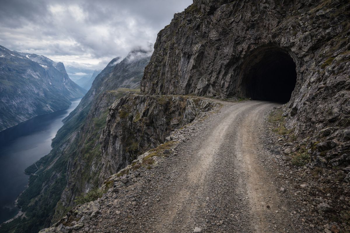

Aursjøvegen is a 100-kilometer gravel road in the fjords of Norway that reaches an altitude of 947 meters. Built in the 1940s for hydroelectric projects, the route crosses abysses, tunnels carved into the raw rock, and 180-degree curves. The road only opens between June and September.
Aursjøvegen, in the fjords of Norway, is a gravel road of 100 kilometers that has become legendary among drivers and cyclists seeking adventure in extreme terrains. The route winds through steep mountains, crosses dizzying abysses, and passes through dark tunnels carved directly into the rock. The highest point of the gravel road reaches 947 meters in altitude, in a setting where fog can change visibility in seconds. Originally built in the 1940s to serve hydroelectric projects, Aursjøvegen has maintained its rustic and untouched character to this day.
The gravel road remains closed during winter and spring due to snow accumulation and avalanche risk. The opening window occurs between June and September, only four months a year. When the thaw reveals the layout, magnificent waterfalls cascade along the entire route, and the Sunndalen valley appears in all its magnitude. For those seeking a pure driving experience, without asphalt and guardrails, Aursjøvegen is one of the most impressive destinations in Scandinavia.
Why Aursjøvegen is famous: the history of the gravel road in the fjords

The fame of Aursjøvegen is due to its rustic nature and the fact that it has never been paved. The gravel road was built in the 1940s to provide access to hydroelectric projects in the Norwegian mountains.
-
A 3-year-old deaf student received the first white belt in Jiu-Jitsu and understood the achievement because the teacher learned Libras to communicate with him, in a video that surpassed 7 million views and moved social media by showing inclusion happening on the mat.

-
Miguel Krigsner opened a small compounding pharmacy in Curitiba in 1977, turned Brazilian fragrances into a national success, and created O Boticário, now one of the largest beauty networks in the world.

-
Meet the charming parrot grandpa, who became known for hugging free birds and revealed how he gained their trust over the years.
-
After 18 years of development, Bridgestone launches the AirFree airless tire, which requires no inflation and is puncture-proof, into daily service in Japan, starting with autonomous vehicles up to 20 km/h, used for transporting elderly people.





The original layout followed the limitations imposed by the terrain: 180-degree curves, steep inclines, and low tunnels carved directly into granite. Engineering had to adapt millimetrically to the rock walls, and the result is a road that seems to have been shaped by the mountain itself.
Today, Aursjøvegen attracts off-road enthusiasts, cyclists, and travelers who want to experience one of the most dramatic routes in Europe. About 90% of the gravel road’s route is compacted gravel, with no paving at all.
The constant proximity to cliffs and the absence of guardrails create a direct and dizzying connection with Norway’s wild geography. The 100-kilometer route links Eikesdal to Sunndalsøra and includes a toll for maintenance.
Dark tunnels and no lighting: the challenge of driving at 947 meters altitude

The tunnels of Aursjøvegen were carved directly into the rock and maintain the raw shape of the mountain. They are low, curved, without artificial lighting, and without space for two vehicles to pass at the same time.
The driver needs to use the horn before entering to alert any oncoming vehicles. Crossing these dark and damp sections of the gravel road is like taking a trip back in time, where mid-20th-century engineering preserved the soul of the mountain.
At 947 meters altitude, visibility can change in seconds due to fog that envelops the gravel road without warning. The conditions require heightened attention, patience, and technical precision from the driver.
Vehicles with 4×4 traction and good ground clearance are the most recommended. Passenger cars can make the journey, but with extreme caution and risk of damage. Trail motorcycles offer high agility in the curves, but require rider experience.
Abysses, waterfalls, and viewpoints: what can be seen along the gravel road
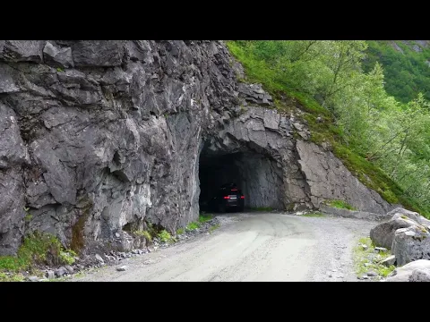

The scenery along Aursjøvegen is one of the most dramatic and solitary in Scandinavia. Strategic viewpoints allow you to observe the Sunndalen valley in all its extent.
One of the most famous points is Aurstupet, a cliff that offers a terrifying panoramic view, ideal for high-impact visual photos. The waterfalls that appear with the thaw between June and September complete a landscape that seems to come from another geological era.
Aursjøvegen is not a gravel road made for haste. The 100-kilometer journey can take several hours depending on the conditions and the vehicle. The official Visit Norway portal recommends checking daily weather conditions before starting the crossing.
The gravel road rewards careful planning with one of the most memorable routes in Europe, where each curve reveals a new angle of the Norwegian fjords.
100 kilometers of gravel, dark tunnels, unprotected abysses, and 947 meters in altitude in the fjords of Norway: would you dare? Tell us in the comments if you have ever driven on extreme roads or if this route has made it to your list of destinations.


