Portuguese
  Spanish


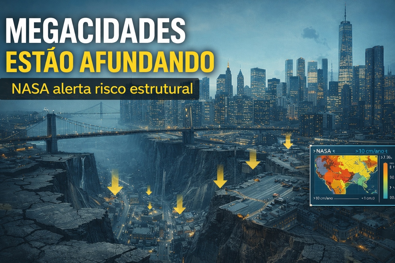


Satellites Detect Over 10 Cm of Subsidence Per Year in Megacities; Groundwater Extraction Places Millions on Unstable Soils and Silent Structural Risk.
What was perceived for decades as cracks in buildings, uneven streets, and recurring failures in sewage networks now appears with millimeter clarity on scientists’ screens. Earth observation satellites, operating with interferometric radar technology, confirm that entire megacities are sinking — in some cases, more than 10 centimeters per year — while millions of people continue to live, work, and build on soils that are continuously and invisibly losing support.
The data comes from analyses based on InSAR (Interferometric Synthetic Aperture Radar), a technique capable of detecting ground deformations on a millimeter scale over time. Institutions like NASA and academic teams published in journals like Nature Sustainability show that the phenomenon is neither localized nor episodic: it occurs in different continents, under distinct economic realities, but with a common central cause — intensive groundwater extraction.
How Satellites Can “See” Cities Sinking
Unlike traditional optical images, InSAR uses radar pulses emitted by satellites that penetrate clouds, pollution, and darkness.
-
She spent 73 years breathing inside an iron lung, survived the aftereffects of polio, and became the last woman in the United States dependent on the equipment before dying at 78 years old.

-
Brazilian students created a $1 filter using pine bark, cotton, and 3D-printed parts to clean cassava wastewater, reduce the toxicity of a hazardous waste, and transform contaminated water into biofertilizer.

-
Astronaut from Artemis II steps down after mission to the Moon and decision surprises after a record of 406,771 km, a historic 10-day journey, and an unprecedented achievement for Canada.

-
A fossil kept for years in a small museum in Montreal concealed 450-million-year-old soft tissue, a discovery that has only happened once before in history.


By comparing the return of these signals over time, scientists can measure vertical displacements of the ground with extreme precision. This allows them to map entire neighborhoods that sink a few millimeters per month, a pace nearly imperceptible day-to-day, but devastating when accumulated over years.

These maps reveal clear patterns: industrial zones, urbanized agricultural areas, and densely populated neighborhoods tend to sink faster when relying on aquifers exploited beyond their natural recharge capacity.
In many cities, the problem has already surpassed the reversible geological limit, meaning that even if extraction is halted, the ground does not return to its original height.
Subsidence Above 10 Cm Per Year: Where the Problem is Most Severe
In parts of Asia, North America, and Europe, satellites record annual rates that shock even experts accustomed to dealing with urban risks.
Subsidence exceeding 5 cm per year is already considered critical for heavy infrastructure. When data shows 10 cm or more, the impact ceases to be theoretical and begins to directly affect:
– foundations of residential and commercial buildings
– subway tracks and railways
– water mains, sewage networks, and drainage
– airport runways and coastal ports
In coastal areas, the problem is even worse. The ground sinks at the same time that sea levels rise, creating a dual pressure that increases the risk of permanent flooding, saltwater intrusion into aquifers, and structural collapses in entire neighborhoods.
The Direct Link to Groundwater Extraction
The mechanism behind subsidence is known but often ignored by public managers. Aquifers function as natural structures where water occupies pores between soil and rock particles.
When this water is excessively removed, the pores collapse, compacting the ground. Unlike a surface reservoir, this collapse is irreversible in many types of sediment.
Megacities have grown too quickly, often without alternative sources of supply. To sustain millions of inhabitants, industries, and peri-urban agriculture, deep wells have been continuously operating.

The result is a consumption that far exceeds the natural recharge rate, especially in arid regions or where climate change is affecting rainfall patterns.
Satellite data makes it clear that the greater the dependence on aquifers, the higher the subsidence rate. This is not coincidence, but a direct physical relationship.
Millions Living Under a Silent Structural Risk
One of the most concerning aspects revealed by studies is the silent nature of subsidence. Unlike earthquakes or floods, sinking does not generate a single, spectacular event. It happens gradually, spreading costs over time and making it difficult for the public to perceive the danger.
Buildings may seem secure for decades before showing serious structural failures. Streets are repeatedly resurfaced without addressing the underlying cause of the problem. Drainage systems fail because they lose the originally designed gradient.
In extreme cases, entire neighborhoods must be abandoned or require billion-dollar investments just to remain minimally functional.
Recent studies indicate that tens of millions of people currently live in urban areas with active subsidence detected by satellites, many without any formal warning or ongoing adaptation plan.
Why This Problem is Accelerating Now
Two main factors explain the recent acceleration observed in orbital data. The first is continuous urban growth, which increases the demand for water at a pace faster than the expansion of sustainable sources.
The second is climate change, which alters rainfall patterns, reduces the natural recharge of aquifers, and intensifies dry periods.
Moreover, urbanization seals the ground, preventing rainwater from infiltrating and replenishing underground reservoirs. The urban paradox is complete: cities consume more water precisely when they reduce their natural capacity to store it.
The Scientists’ Warning and the Challenge of the Coming Decades
Researchers are straightforward: urban subsidence is not just a geological problem, but a systemic risk. It affects housing, transportation, sanitation, energy, and food security, especially in cities that also face rising sea levels.
The advantage, according to scientists, is that the phenomenon can now be monitored almost in real-time. Satellites provide a powerful tool to anticipate damages, plan interventions, and redefine water usage policies. The drawback is that, in many places, decisions continue to be postponed.
What was once hidden under asphalt is now clearly visible in orbital images. The world’s megacities are sinking — slowly but steadily — and the data show that the time to ignore the problem has long passed.