
 Portuguese
  Spanish
The dredging aims to improve navigation conditions, ensuring the depth necessary for the safe passage of vessels. The initiative is part of a broader strategy to enhance the logistical efficiency of the region.
The project is expected to bring significant benefits to the local economy, facilitating the flow of goods and reducing transportation costs. The federal government sees the initiative as a key step in strengthening Brazil’s infrastructure network.
The dredging is part of a set of actions aimed at modernizing the waterway system, which includes the maintenance of existing channels and the construction of new infrastructure to support increased traffic.
-
At 17, Andressa swapped the city for life in the countryside with her father on a farm in Minas Gerais, where they take care of 15,000 fish in aquaculture, cows, and other animals.

-
Organic grape juice from São Roque surprises experts, scores over 90 points in a blind test, and wins a national award after six years of agroecological research.

-
In Matopiba, soybeans have replaced rice and beans, and traditional Cerrado communities that used to grow their own food now have to buy it, while pesticides from neighboring farms reach the springs.
-
Foreign tree planted to combat drought invades more than 1 million hectares of the Caatinga, encroaches on riparian forests, and turns an old solution for the semi-arid region into a silent threat to biodiversity.


The public session began at 10 a.m., via Compras.gov.br. After the opening, the projects proceed to analysis before selecting the winning company, a necessary step to determine who will be responsible for execution.
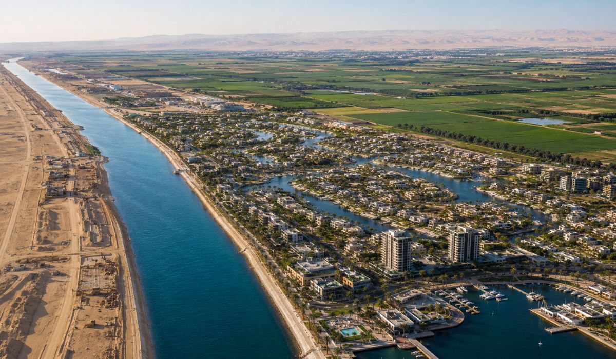
Dredging is relevant because Lagoa Mirim has naturally reduced depths in part of its extension. In the northern portion, the averages are between 1 and 2 meters, increasing to about 4 meters in the central area and reaching 5 or 6 meters in the south.
Transboundary lake increases project significance
Lagoa Mirim is located on the border between Rio Grande do Sul and Uruguay. It is the second largest lake in Brazil, behind Lagoa dos Patos, and the largest in Uruguayan territory.
Its watershed covers about 62,250 km². Of this total, 47,310 km² are in Brazil, equivalent to 76%, and approximately 14,940 km² are in Uruguay, corresponding to 24%.
Being a transboundary basin, the regime of shared waters prevails, supported by the Treaty of Limits of 1909 and the Lagoa Mirim Treaty of 1977.
With 185 kilometers in length, an average width of 20 kilometers, and a maximum of 37 kilometers, Lagoa Mirim combines geographical scale and logistical function. Therefore, the waterway was included in the federal strategy to unlock waterway concessions.


Be the first to react!