Portuguese
  Spanish


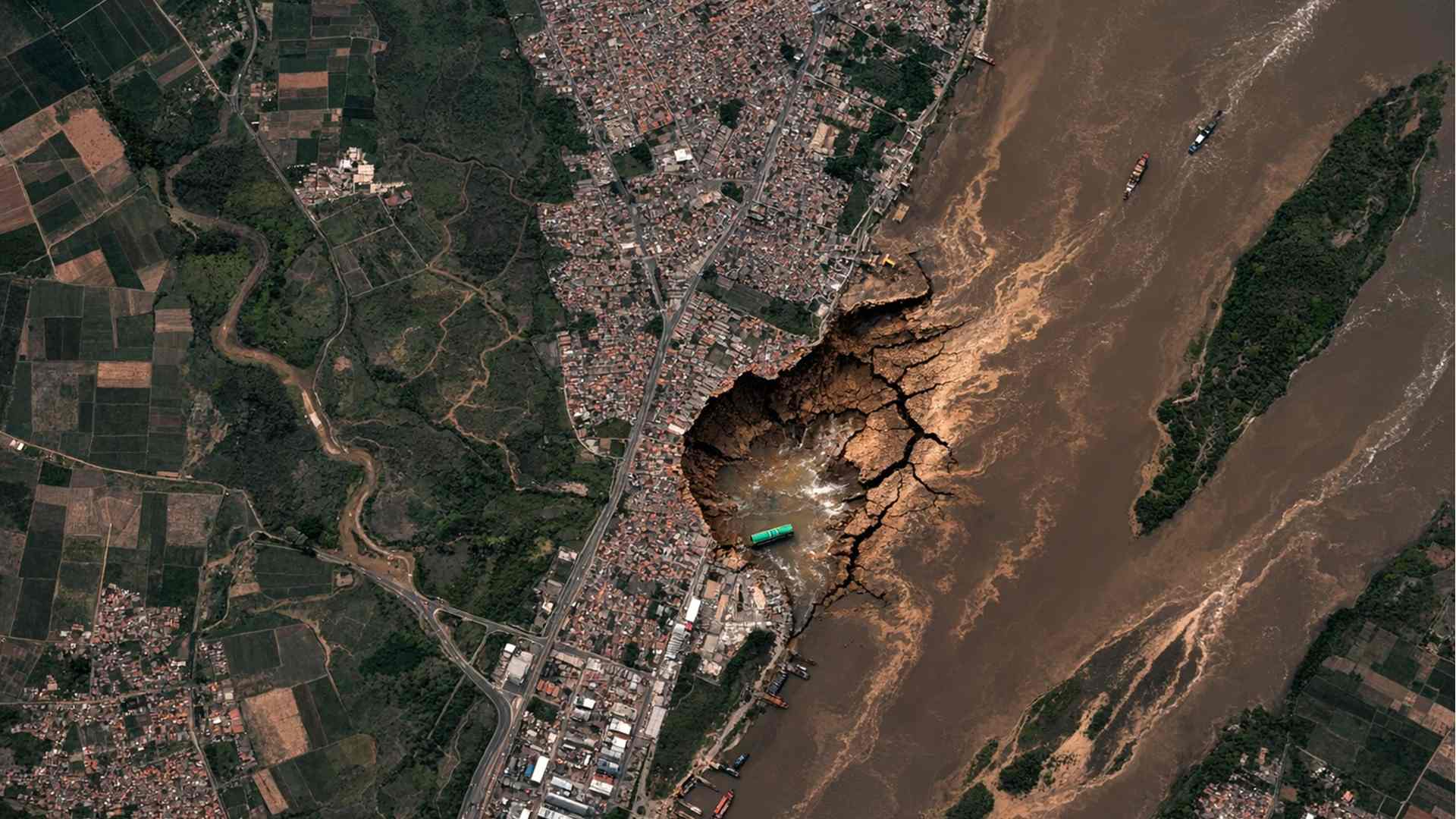


Global Mapping Based on Sentinel-1 Satellite Data Reveals That The Ground Is Sinking At A Rate Faster Than Sea Level Rise In Large River Deltas, Affecting Regions That Concentrate About 500 Million People And Increasing Risks Of Flooding, Land Loss And Saline Intrusion In Densely Populated Urban Areas
The ground is sinking faster than the sea level is rising in the world’s large river deltas, according to a study published in the journal Nature, which analyzed 40 densely populated regions and identified increasing risks for millions of people living near sea level.
Deltas Concentrate Population And Infrastructure While The Ground Loses Altitude
River deltas are flat areas formed over thousands of years by the deposition of sediments carried by rivers to the ocean. Although they occupy less than 1% of the Earth’s surface, these regions are home to about 500 million people.
Ten of the 34 largest cities on the planet are located in these low-lying territories. Among them are Kolkata in the Ganges Delta, Alexandria in the Nile Delta, Shanghai in the Yangtze Delta, and Bangkok, situated in the Chao Phraya Delta.
-
China Develops Custom 140-Ton Electric Mining Truck with 770 kWh Swappable Battery, Deploys 290 Units in Xinjiang’s Largest Zinc Mine

-
Meta to Launch Arena, a New Prediction App Targeting 3.56 Billion Users, Competing with Polymarket and Kalshi

-
Scientist Challenges Famous Human Evolution Theory, Argues Homo Sapiens Evolved Gradually Over Thousands of Years
-
15-Year-Old American Builds Ocean Generator with PVC Pipe and 3D-Printed Propeller for $12, Wins National Prize, Presents at White House, and Makes Forbes 30 Under 30 List



These regions concentrate ports, airports, highways, and dense urban areas. They also sustain agricultural activities and ecosystems essential for millions of inhabitants. Most deltas are only between 1 and 2 meters above sea level.
This low elevation makes any change in ground level especially critical. When the ground loses height, even small variations amplify the impact of floods, coastal storms, and saltwater intrusion.
Study Shows That The Ground Sinks More Than 3 Millimeters Per Year In More Than Half Of The Deltas
For years, consistent global data capable of measuring the rate of elevation reduction in these environments was lacking. The scenario changed with the analysis based on a decade of radar observations from Copernicus Sentinel-1 satellites.
The researchers mapped changes in surface elevation in 40 major river deltas around the world. More than half showed subsidence greater than 3 millimeters per year, equivalent to about 0.12 inches annually.
Although the value may seem small, it rivals or exceeds the global rate of sea level rise in various regions. In some deltas, the sinking of the ground has become the primary factor contributing to the relative rise in water levels.
Observed cases include the deltas of the Chao Phraya in Thailand, the Mekong in Vietnam, and the Yellow River in China. In these areas, land subsidence intensifies flooding, accelerates land loss, and increases damage caused by storms.
The survey included deltas with urban populations exceeding 3 million inhabitants, historically affected regions by subsidence, and areas that were less studied previously.
Human Activities Accelerate The Sinking Of The Ground In Major Deltas
Deltas naturally undergo transformations. Sediments build new layers while erosive processes remove material over time. Vertical movements of the Earth’s crust also influence the altitude of these areas.
The study, however, identifies human activities as a determining factor in the acceleration of the phenomenon. Excessive extraction of groundwater appears as the main cause associated with ground sinking.
When large urban centers pump water from underground aquifers, ground compaction occurs. This process reduces the internal volume of the soil and causes the gradual lowering of the Earth’s surface.
The extraction of oil and gas has similar effects. Rapid urban growth increases the weight exerted on unstable grounds. At the same time, dams built upstream retain sediments that would normally replenish the deltas.
Without new sediment deposits, the soil loses its capacity for natural regeneration. The observed pattern indicates that deltas with higher urban population growth rates show higher rates of subsidence.
Examples cited include the deltas of the Yellow, Po, Nile, Chao Phraya, and Mekong rivers. Several coastal cities report rates above the global average, including Alexandria, Bangkok, Dhaka, Kolkata, Shanghai, Yangon, Can Tho, Thai Binh, Niigata, Jakarta, Surabaya, and Dongying.
Populations Below 1 Meter Face Increasing Risk With The Ground In Subsidence
The consequences directly affect millions of residents. Of the 76 million people living in delta areas at altitudes below 1 meter, about 84%, equivalent to 63.7 million, reside in regions where the ground is sinking rapidly.
In Asia, the exposure to risk is particularly high. Nevertheless, the phenomenon has a global reach. In North and South America, the Amazon and Mississippi deltas are among the seven responsible for more than 57% of the total subsidence observed.
The other five are the Nile Delta and the deltas of the Ganges-Brahmaputra, Mekong, Yangtze, and Irrawaddy. In 18 of the 40 deltas analyzed, the ground sinks faster than the sea level rises.
According to Leonard Ohenhen, assistant professor of Earth System Sciences at the University of California, Irvine, current average rates of subsidence exceed the geocentric rise of sea level in several studied deltas.
The researcher states that the results indicate the need for targeted interventions to address the phenomenon alongside actions aimed at adaptation to global sea level rise.
Sentinel-1 Satellites Allow Measuring Minimal Changes In The Ground From Space
The conclusions depend on technology capable of detecting extremely small variations in the Earth’s surface. The Sentinel-1 satellites have been operating in orbit since 2014 equipped with synthetic aperture radar.
The system collects interferometric SAR data, known as InSAR, capable of identifying minimal displacements on the surface, including changes in ground level over time.
The scientists analyzed the complete archive of SAR data between 2014 and 2023 using advanced multitemporal InSAR analyses. The method allowed tracking changes in elevation and vertical movement of the land in entire deltas.
Nuno Miranda, mission manager for Sentinel-1 at the European Space Agency, stated that the study demonstrates the system’s ability to provide continuous, high-resolution global measurements.
According to him, systematic radar observations are essential to quantify subsidence factors and guide global-scale adaptation strategies.
Future Management Will Depend On Controlling Sea Encroachment And Ground Sinking
Deltas have always been dynamic environments shaped by rivers and storms. However, the combination of human pressure and climate change has intensified transformations at a rate higher than observed previously.
Combating subsidence alongside rising sea levels is pointed out as a decisive factor to protect some of the most populous and vulnerable regions on the planet in the coming decades.
The challenge faced by major delta cities is not limited to containing ocean water. It also involves preventing the ground from continuing to lose altitude under densely populated urban areas.
The complete study was published in the journal Nature.