Portuguese
  Spanish
Meteorologist Piter Scheuer warned that Santa Catarina will face the most intense El Niño of the last decade, peaking between September and October, a phenomenon comparable to the 1983 floods, with tornadoes and gales forecast between June and October, placing Vale do Itajaí and Blumenau on maximum alert.
Meteorologist Piter Scheuer issued a warning that should concern every resident of Santa Catarina: the El Niño forming for the coming months will be the strongest in the last ten years and promises to bring severe floods, landslides, and atmospheric phenomena comparable to the worst ever recorded in Santa Catarina’s history. According to the meteorologist, the peak of the phenomenon in Southern Brazil will be between September and October, but the effects will begin to be felt as early as June, with intense rains accompanied by thunderstorms, gales, and the possibility of tornado formation, destructive gales, and atmospheric microbursts that could affect vulnerable regions of the state. Scheuer was emphatic in assessing the severity: he compared the current El Niño formation to the episodes of 2015, 1997/1998, and 1983, years that left deep marks on Santa Catarina’s territory.
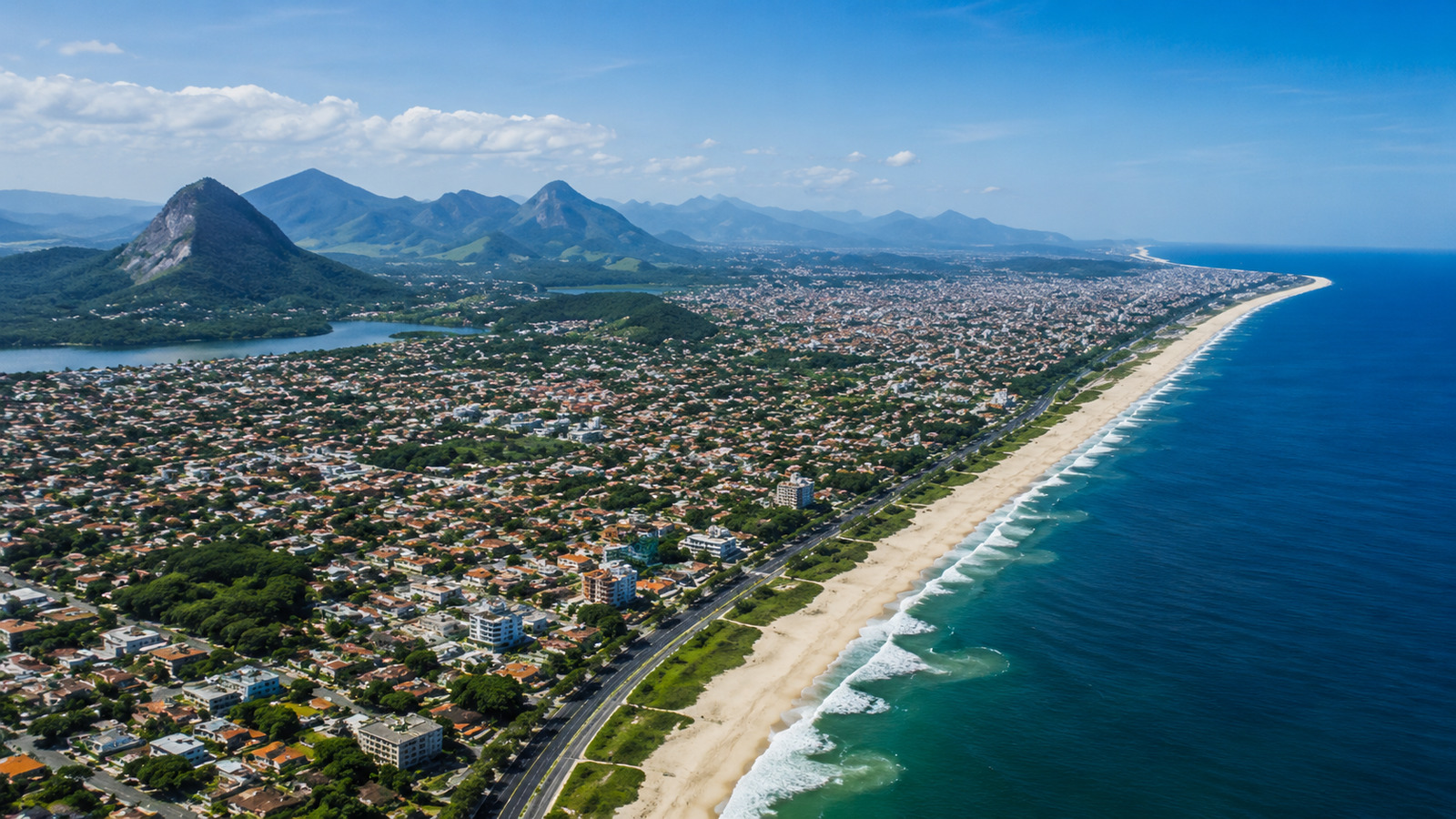
The comparison with 1983 is the most alarming. In that year, a flood that lasted a month in Vale do Itajaí killed 49 people and displaced 50,000 residents in Blumenau between July and August, when the Itajaí-Açu River reached 15.34 meters in height, an episode that remains in the collective memory of the region as one of the greatest climatic catastrophes in Santa Catarina’s history. The meteorologist states that the robustness of the developing El Niño is very similar to those events, meaning that the destructive potential exists and preparation needs to start now, months before the phenomenon’s peak.
What the meteorologist predicts for Santa Catarina with this El Niño
Meteorologist Piter Scheuer’s alert identifies specific regions expected to suffer the greatest impacts. Scheuer listed the river basins at highest risk: Vale do Itajaí, the Uruguay and Peixe river valleys, and the regions of Rio do Sul, Blumenau, and Tubarão, mapping the river basins that historically suffer from floods when El Niño intensifies rainfall over Southern Brazil. These are precisely the areas where rivers nestled in narrow valleys receive a volume of water that quickly exceeds drainage capacity, producing floods that invade urban centers in a matter of hours.
-
OnePlus N6 Smartphone to Launch in India with 8,000mAh Battery and 45W SuperVOOC Charging, Lasting Up to Three Days

-
Scientists Plan to Release Air Bubbles Underwater to Protect Antarctica’s “Doomsday Glacier” from Melting

-
Chinese R6000 Drone Combines Airplane and Helicopter Features, Carries Up to 12 People for Multiple Missions
-
In the World’s Most Densely Populated Desert, Families Dig Funnel-Shaped Underground Cisterns to Capture Rare Rainfall and Store Drinking Water for Up to Eight Months


The meteorologist also highlighted the risk of extreme weather events that go beyond traditional floods. Tornado formation, destructive gusts, and microbursts are concrete possibilities for the period between June and October, and Scheuer cited the example of Paraná, where tornadoes hit the Western region last year even without significant influence from El Niño or La Niña. The meteorologist’s logic is straightforward: if extreme events occurred in a year of climatic neutrality, a strong El Niño exponentially increases the risk of atmospheric instability and the probability of destructive phenomena.
Why the meteorologist compares this El Niño to those of 1983 and 2015
The comparison is not rhetorical. Meteorologist Scheuer analyzed the formation patterns of the current phenomenon and identified structural similarities with the El Niños of 1983, 1997/1998, and 2015, all classified as strong or very strong and all associated with significant disasters in Southern Brazil. In 2015, the rains caused by the phenomenon led to floods and landslides in several cities in Santa Catarina, and in 1997/1998, excessive precipitation generally affected agriculture, road infrastructure, and riverside communities.
The key to the forecast lies in the sea surface temperature of the Equatorial Pacific Ocean. When this temperature rises above average for a prolonged period, El Niño forms and alters atmospheric circulation patterns on a continental scale, directing warm, moist air masses from the Amazon to Southern Brazil with intensity proportional to the oceanic warming. The meteorologist identified that the corridor of humidity and heat descending from the Amazon will be pointed directly towards the West of Southern Brazil, a condition that should enhance atmospheric instability over Santa Catarina, Paraná, and Rio Grande do Sul throughout the second half of the year.
What Rio Grande do Sul and Paraná can expect according to the meteorologist
Santa Catarina will not be the only state affected. Meteorologist Scheuer points out that Rio Grande do Sul is expected to be the first to suffer the impacts as early as May, when the first waves of instability associated with El Niño begin to influence the climate in the southern part of the continent. The Western region of Santa Catarina and Paraná is also expected to experience early impacts, as the Amazonian humidity corridor reaches these areas before advancing to the coast.
The meteorologist’s warning about Paraná is particularly emphatic. Scheuer argued that if severe events occurred in Paraná during a year of climatic neutrality, the combination with a strong El Niño elevates the risk to much higher levels, referring to the tornadoes that devastated cities in Paraná even without the influence of any significant oceanic phenomenon. The combination of a robust El Niño and the geographical conditions of the Western region, where the flat terrain favors the formation of supercells and tornadoes, creates a scenario that meteorologists classify as very high risk for the period between July and October.
What can be done before El Niño reaches its peak
The interval between now and September is the window that municipalities, civil defense, and residents have to prepare. Cleaning of storm drains and drainage channels, reinforcement of vulnerable slopes, planning of evacuation routes in riverside neighborhoods, and stocking of emergency materials are measures that need to be executed in advance because, when the rain arrives with the intensity the meteorologist predicts, there is no time for improvisation. The floods of 1983 and 2015 demonstrated that cities like Blumenau, Rio do Sul, and Tubarão suffer exponentially greater damage when preparation is insufficient.
Meteorologist Scheuer concluded his warning by asking that the phenomenon be taken seriously by authorities and the population. “It’s not alarmism, it’s reality,” he summarized, a phrase that carries the weight of someone who analyzes atmospheric data daily and knows that the difference between an ignored forecast and a heeded forecast can be measured in lives saved. The strongest El Niño of the last decade is heading towards Santa Catarina, and what the state does in the coming months will determine whether the history of 1983 will repeat itself or if the lessons from that disaster will finally be applied on the scale that the threat demands.
And you, do you live in one of the risk regions mentioned by the meteorologist? Do you think your city is prepared for an El Niño of this intensity? Leave your opinion in the comments.