
 Portuguese
  Spanish
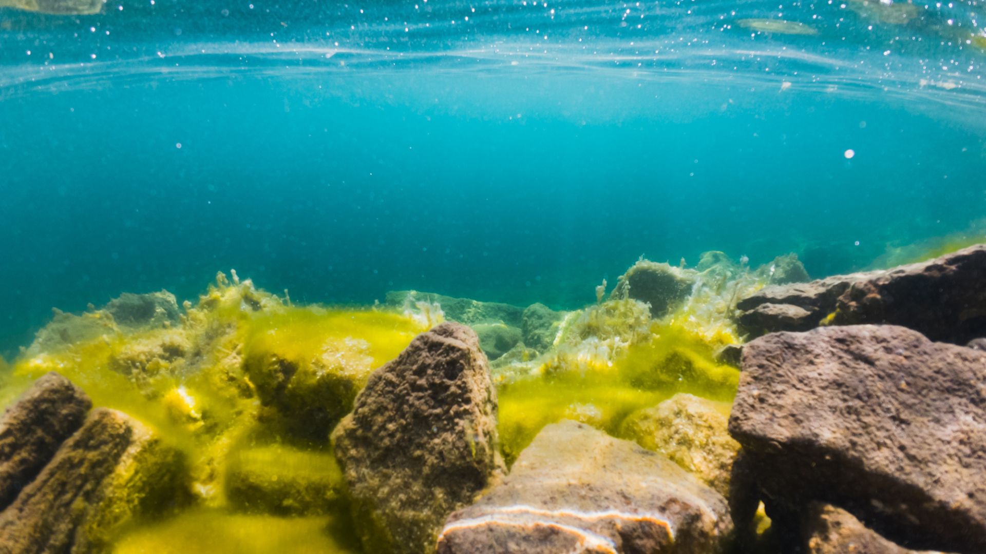
The advancement of Chinese underwater mapping reveals the economic potential of strategic mineral resources located in abyssal depths of the Pacific Ocean.
China has recently completed a detailed high-precision mapping that identifies massive deposits of mineral wealth on the eastern seabed.
The mapping survey reveals the strategic presence of essential resources for the global technology industry in deep water areas. This initiative is part of a national effort to expand geological knowledge and ensure access to critical raw materials.
Geological mapping and oceanic discoveries
The new maps provide unprecedented data on the distribution of polymetallic nodules and ferromanganese crusts in specific regions of the Pacific Ocean. The technology used allowed for the identification of concentrations of metals such as copper, nickel, and cobalt, which are fundamental for the energy transition.
-
A Brazilian city decided to purchase a piece of the Atlantic Forest with more than 153,000 square meters, and owners of preserved areas will be able to submit proposals to transform the forest into a conservation unit.

-
Brazilian siblings aged 11 and 7 read 240 books in just one year and caught attention on social media: while many children spend hours on screens, they turned their family’s routine into an example of reading, discipline, and curiosity.
-
The legendary oak that, according to the story, hid Robin Hood from the Sheriff of Nottingham, died at the impressive age of 1,200 years in England, and the first chilling sign of its end was that no leaves sprouted on the tree this spring.

-
While the world looks at forests, the UN warns that the Earth is also threatened by the silent degradation of natural grasslands and savannas, ecosystems that cover half of the planet, support billions of people, and can exacerbate water, food, and climate crises.


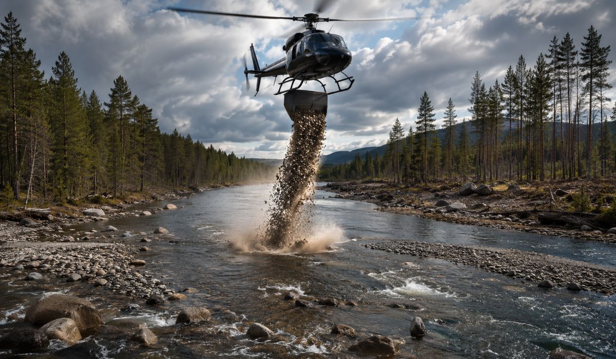
The exploration project involved the use of autonomous underwater vehicles and state-of-the-art sonar systems to scan the marine topography.
The identification of this mineral wealth on the eastern seabed positions the country in a technical advantage for future extraction activities. Researchers and geological engineers worked at depths exceeding 4,000 meters to catalog the rock formations.
The collected data will be used to plan the next phases of mineral research and the development of underwater mining equipment.
Strategic implications for the global industry
The scale of the cataloged resources suggests that the region may contain enough reserves to meet industrial demands for several decades. Among the elements found, rare earths stand out, vital components for the manufacture of semiconductors and high-performance batteries. The precision of the mapping facilitates the location of deposits with high commercial purity.
The focus on mineral wealth on the eastern seabed reflects a shift in resource exploration, moving interest from land mines to the ocean floor.
Experts indicate that the detailed survey is the first step in establishing mining standards in deep waters. The mapping also includes information about the local ecosystem, aiming to monitor the impacts of future extractive activities.
Technology and innovation in marine prospecting
The success of the mission depended on a new generation of sensors capable of operating under extreme pressures and low visibility conditions. The systematic mapping covered thousands of square kilometers, generating a complete digital inventory of the underwater geology. This advancement represents a qualitative leap in China’s ability to conduct scientific prospecting in hostile environments.
The integrated analysis tools in the project allowed for a clear differentiation of sediment types and the thickness of mineral crusts.
The consolidation of this mineral wealth in the eastern seabed into high-resolution maps serves as a foundation for the development of specialized robotics. The project reaffirms the commitment to ocean science and long-term resource security.
With information Interesting Engineering


Be the first to react!