 Portuguese
  English
  Spanish
Inmet issues broad alert as cold wave in Brazil breaks records in 26 municipalities and pressures the Southern power grid
The National Institute of Meteorology (Inmet) issued yellow and orange warnings on May 9, 2026, for 18 Brazilian states due to a cold front that advanced through the South and pushed a polar air mass up to the North, according to coverage by Agência Brasil. The cold wave in Brazil dropped Curitiba to 2.5°C and recorded negative lows in 26 municipalities. Meanwhile, G1 reported gusts of up to 90 km/h in Rio Grande do Sul.
According to the forecast released, “the first cold wave of 2026 arrives in Brazil this Friday (8) and is expected to last at least until next Wednesday (13)”, as reported by G1’s meteorological report. Therefore, the alert covers Rio Grande do Sul, Santa Catarina, Paraná, Mato Grosso do Sul, São Paulo, and continues affecting the Midwest and North with cold spells in Acre and Rondônia.
Additionally, CNN Brasil pointed out that 26 municipalities recorded lows below zero on May 11. Curitiba dropped to 2.5°C, São Paulo to 7.2°C, Campo Grande to 7.7°C, and Cuiabá to 14°C. These values marked the lowest temperatures of the year until that date.
-
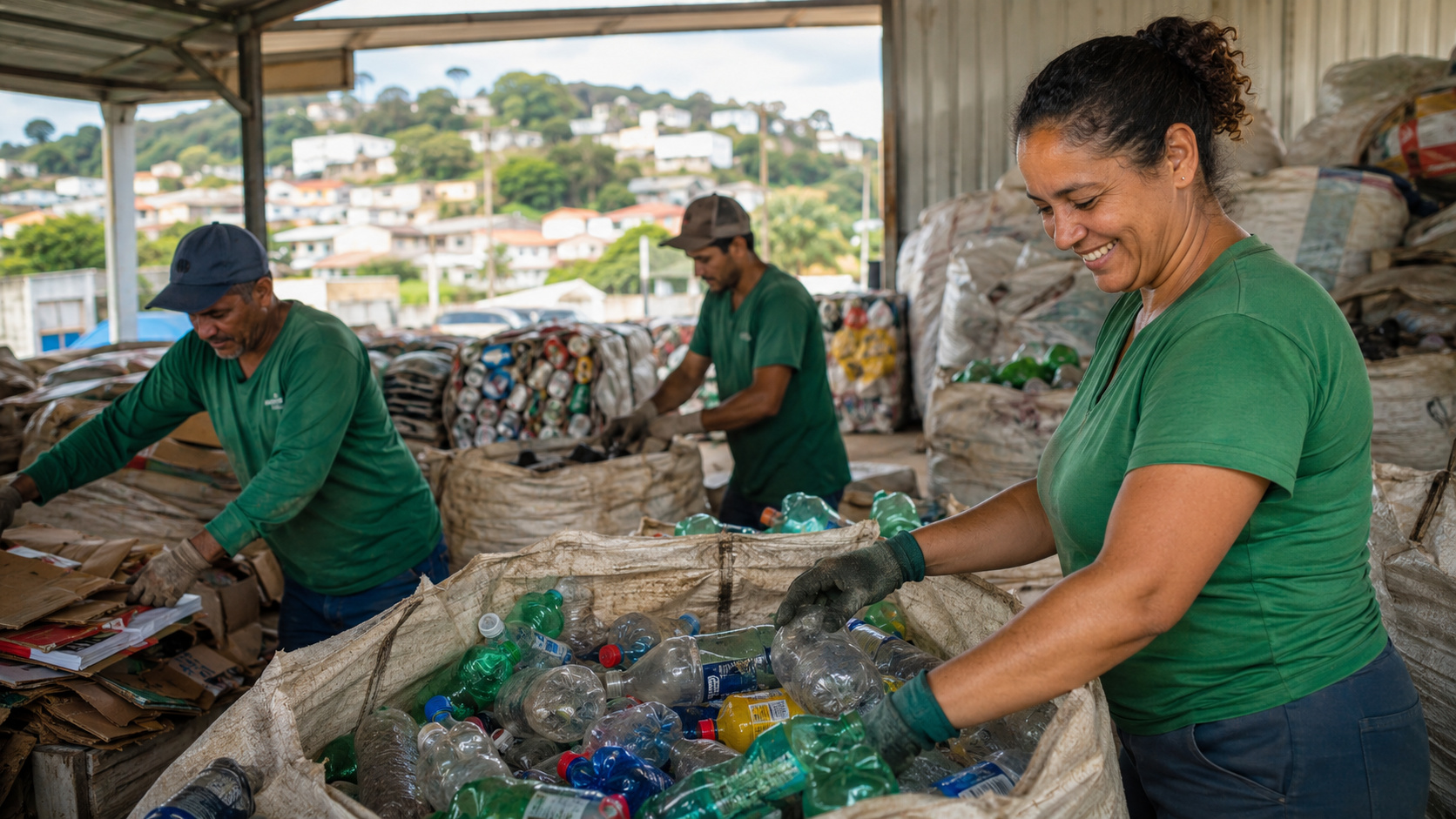
Giant advertisements that would end up in the trash are now turned into bags, eco-bags, and accessories, while each 100 m² of reused canvas prevents about 50 kg of waste in landfills.

-
Instead of leaving waste pickers working without structure, a project in Montenegro was approved under the Recycling Incentive Law to support 28 families, expand selective collection, and transform waste into income in Rio Grande do Sul.
-
A Brazilian city decided to treat waste as currency, created an app that gives points for recyclables, and included cooking oil, coffee capsules, electronics, and even large appliances in the environmental account.
-
While many people change tires and forget the destination of the old rubber, Brazil sent 384,391 tons of used tires in 2025 and revealed the hidden mountain that cars, buses, and trucks leave behind after driving.


Cold front entered through the South and pushed polar mass up to Acre
The front advanced from the coast of Rio Grande do Sul on Friday (8) and gained strength the following night, according to the official bulletin. It then spread through Santa Catarina and Paraná, dropped the mercury column in São Paulo, and reached the Midwest at the beginning of the week. Finally, it reached areas of Acre and Rondônia already with the feeling of Amazonian cold.
Therefore, the system showed the typical contrast of the austral autumn: polar air advancing from the south against warm and humid air in the central regions. As a result, there were isolated storms, intense rain, hail, and a sharp drop in temperature within a few hours. This pattern, according to Agência Brasil, justified the orange category in part of the territory of Rio Grande do Sul.
According to the weekly forecast from Inmet reproduced by Agrofy News, some points in the North could accumulate up to 150 mm of rain during the period. To give an idea, this is equivalent to pouring almost a 10-liter bucket on each square meter in a short time.

Historic lows in 26 municipalities and Curitiba below 3°C
CNN Brasil consolidated the most notable records of May 11. First, Curitiba marked 2.5°C; shortly after, Campo Grande dropped to 7.7°C, and Cuiabá to 14°C. On the other hand, Rio Branco closed at 14.7°C, which set a cold record for the year in the capital of Acre until then. According to local reports, mountainous areas in the South recorded temperatures below zero.
In comparison, these values are up to 10 degrees below the climatological average of the month for the Midwest and North. To understand the scale, it’s as if the thermal sensation in Cuiabá plummeted from a summer afternoon to a morning in Curitiba within a few hours.
Meanwhile, G1 also mentioned typical winds between 40 km/h and 70 km/h, with peak points of 90 km/h in the South. This intensity alone is enough to cause isolated roof damage, branch falls, and instability in power grids, according to recurring technical analyses in the sector.
Why the alert was so broad: what changes when 18 states are involved together
Inmet distributes warnings by severity level — yellow (potential danger), orange (danger), and red (great danger). In this episode, most warnings were yellow, but Rio Grande do Sul and western Santa Catarina received orange due to the combination of heavy rain, wind, and thermal drop. Consequently, state and municipal civil defenses were activated.
Similarly, energy regulatory agencies and network operators enter a state of alert. Each 1°C below average in the South increases domestic demand for heating, according to data from the National System Operator (ONS) published in previous years. Therefore, nighttime load peaks become the critical point.
- 18 states under simultaneous yellow or orange alert
- 26 municipalities with negative lows recorded on May 11
- Curitiba 2.5°C, lowest temperature of the year until the date in the capital of Paraná
- 90 km/h maximum gust recorded in Rio Grande do Sul
- Up to 150 mm of accumulated rain in isolated points in the North
Agriculture and logistics on alert
The agricultural sector in the South is particularly sensitive to the combination of cold front with late frost. First, safrinha corn crops, coffee in southern Minas, and fruit farming in Paraná suffer direct damage when the mercury falls below zero. Then, the logistics of soybean flow through southern ports, such as Paranaguá and Rio Grande, face interruptions due to heavy rain.
According to Agência Brasil, civil defense advised escape routes in geological risk areas on urban slopes. Consequently, municipal administrations usually activate shelters and suspend classes in state schools. This pattern was repeated in previous cold waves.
According to the Brazilian Agricultural Research Corporation (Embrapa), frost monitoring uses joint data from Inmet and INPE, with numerical models including ECMWF, GFS, and WRF from CPTEC. In other words, the consolidated forecast derives from integrated official Brazilian sources.

What to expect for the wallet and the power system in the next 72 hours
For the domestic consumer, the first consequence appears on the electricity bill. Heaters, showers, and dryers drive the demand peak. Secondly, there is a risk of localized power outages if wind gusts knock down lines in isolated municipalities. In fact, this has already happened in previous waves in Rio Grande do Sul.
On the other hand, gas stations and supermarkets usually see increased activity. Truck drivers tend to anticipate trips to avoid closing sections of BR-101 and BR-116 due to fog or hail. According to logistics sector analyses, delays of 4 to 8 hours are typical in moderate cold front episodes.
Similarly, hospitals and UPAs begin to see an increase in attendance for respiratory symptoms. Young children, the elderly, and people with chronic diseases form the most vulnerable group. Therefore, health departments usually reinforce vaccination campaigns and preventive guidance during these peaks.
Note on the margin of error of the models
Although Inmet works with consolidated global and regional models, the punctual forecast of rain and wind depends on micro-regions and terrain. In other words: the warning is broad, but the concrete impact varies greatly between neighboring municipalities. Therefore, it is worth following updated bulletins every 6 hours on the official portal.
Other private institutes, such as MetSul and Climatempo, often diverge from Inmet in specific timing details, especially in fast frontal systems. Therefore, cross-monitoring between official sources and specialized operators remains the safest practice for civil defense, agribusiness, and the power sector. Is Brazil prepared for more episodes like this in the coming weeks?

Other recent extreme events in Brazil also received attention from Click Petróleo e Gás, especially in the climate’s impact on the energy sector. The cold wave in Brazil in May 2026, in turn, shows how these phenomena pressure the power system, agricultural logistics, and public health simultaneously. Finally, coordination between Inmet, ONS, civil defense, and operators becomes the country’s biggest rapid response test with each new front.


Be the first to react!