






 Portuguese
  Spanish
  3 min of reading
  0 comments


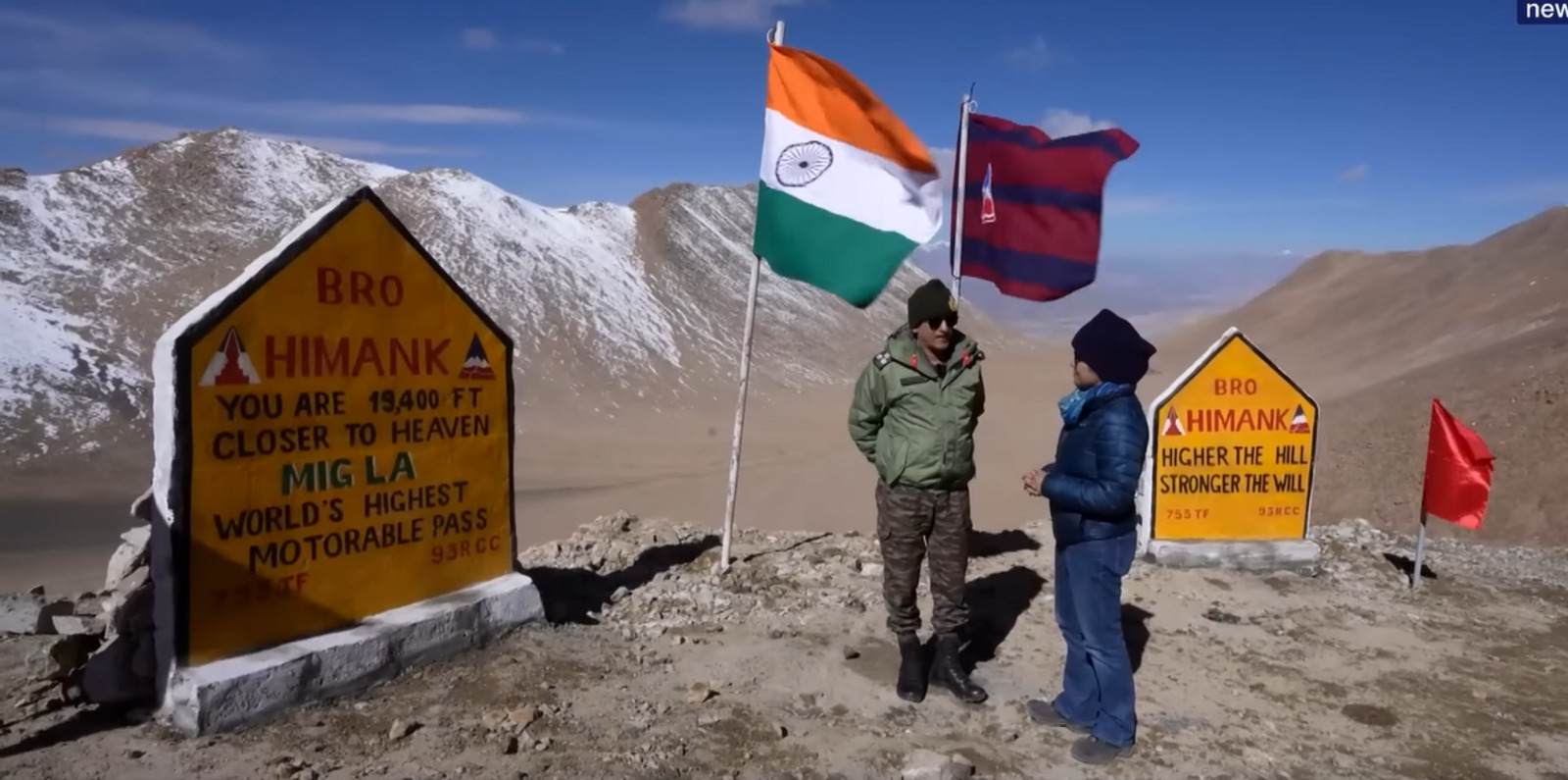
5,913-Meter Road Completed in 2025 Connects Likaru to Fukche, Surpasses Umling La, and Redefines Connectivity in Sensitive Area Near the Chinese Border
The Border Roads Organization completed a 5,913-meter road in October 2025 at Mig La Pass in Ladakh, connecting Likaru to Fukche and enhancing military and civilian transport in a sensitive area along the border with China.
Recognition and Reach of the New Corridor
The stretch received validation from the Guinness World Records. It surpassed the 5,799 meters of Umling La. The BRO conducted geodetic checks and technical measurements to confirm the final altitude before the official certification.
The link covers approximately 64 kilometers between the village of Likaru and the Fukche area. The corridor was designed for military and civilian vehicles, with an average lane width of 6 to 7 meters in critical zones and retention areas against natural events.
-
Women in a Brazilian Community Empowered to Renovate Homes Independently Through Design and Planning Skills

-
Man Builds Solar-Powered Tiny Home to Escape Rent, Faces Demolition Order in Expensive Australian Region
-
Facing a Shortfall of 83,900 Homes, Curitiba Considers Social Housing with Public Units, Reduced or Free Rent, Prioritizing Seniors, Victims of Violence, and the Homeless

-
Abandoned Building in Brazil’s Vitória to Be Transformed into 44 Affordable Housing Units with Government Funding


The route has become a strategic reference as it crosses hard-to-access regions. The expected traffic flow is set to grow as connectivity consolidates in the Changthang area.
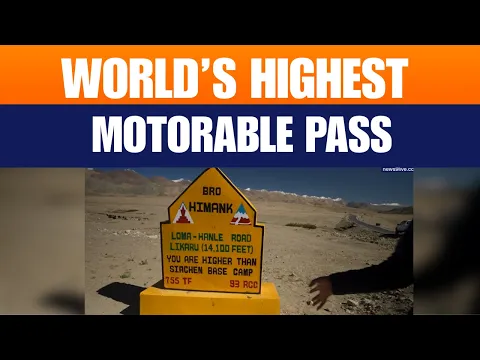

Challenges Faced During Road Construction
The teams worked with unstable slopes since 2022. Geologists assessed risks of rockfalls, the presence of permafrost, and sections with steep inclines that required additional studies.
The project used drillers for hard rock and slope stabilization systems. Drainage channels were installed to manage melting snow and potential debris flows, ensuring pavement safety.
The intense cold complicated daily routines as temperatures dropped below -30 °C. This required support posts for medical teams and special vehicles with 4×4 traction or tracks to transport materials to forward points.
Human and Regional Historical Impact
The BRO has been operating in Ladakh since the 1960s. Other high-altitude roads existed, but none combined length and elevation like Mig La.
The Himank Project intensified this progress in the 2000s with interventions focused on Khardung La, Umling La, and now Mig La.
The new road benefits communities at altitudes above 4,500 meters. Residents gain faster access to basic services as they now reach health centers, schools, and markets without long journeys.
The presence of bailey bridges, walkways, and observation areas enhances the possibility of receiving visitors interested in local landscapes.
The BRO added lightweight structures to facilitate crossings and improve circulation.
Technical Elements of the Road
The ramps reach a 12% incline and include hairpin curves. Cuts in solid rock form walls up to 150 meters high.
Special signage is needed to avoid accidents in areas susceptible to landslides.
Geotechnical studies will continue after delivery because porous ice beneath the pavement can cause subsidence. Constant monitoring should guide future interventions.
Major General Pankaj Malhotra stated that the road reinforces operational readiness and improves local living conditions.
He estimated a tourism increase of over 30% in five years, driven by views of salt lakes and snow-capped peaks.
There was a minor typographical error in his internal notes, but it did not affect the statements.
Supplementary Expansion and Integrated Network
The BRO maintains parallel routes such as the Hanle–Chumar Road, which spans 91 kilometers. The route reaches altitudes between 4,420 and 5,243 meters and crosses the Salsa La Pass, expanding mobility options for residents and visitors.
This network connects areas like the Hanle Observatory and the lakes Kyun Tso, Chilling Tso, and Tso Moriri. Thus, tourism no longer relies on a single route and begins to circulate through multiple points.
Permanent Risks and Prevention Actions on the Road
Experts highlight avalanche risks in winter. Irregular snowmelt pressures continuous maintenance; therefore, the BRO plans seismic and climate monitoring stations along the corridor.
The formal delivery occurred during an atypical monsoon in 2025. Strong winds and rain altered schedules, but work continued until early October, when teams completed signage and paving.
International recognition established Mig La as an engineering landmark at extreme altitudes.
The road now integrates the repertoire of essential routes for circulation in border areas and remote regions of Ladakh.
With information from Mediaindia.




-

-

2 people reacted to this.