
 Portuguese
  Spanish
Climatic scenario gains strength with increasing instability, advancement of areas of intense rain, and expanded risk of disruptions in different regions of Northeast Brazil throughout the day
Thursday, April 23, began with an important alert for millions of Brazilians. A strong wave of climatic instability is advancing over the Northeast and, throughout the day, is expected to intensify rainfall volumes in practically the entire region. This scenario, besides drawing attention, requires caution, especially in more vulnerable areas.
The information was released by the “City Hall Portal”, based on updated data from the National Institute of Meteorology (INMET), which maintains two active warnings for intense rains. According to the agency, the phenomenon affects a large part of the Northeast until the end of the day, with different levels of severity.
Yellow alert dominates the region and indicates potential risk with rains of up to 50 mm and intense winds

First of all, all northeastern states are under a yellow alert, which indicates potential danger. Although it is not the most severe level, the warning requires attention, as conditions can evolve rapidly.
-
Apple and Tesla on Alert After Cyberattack on Indian Supplier Exposes Over 200,000 Confidential Files, Industrial Projects, Employee Data, and Potential Trade Secrets on the Dark Web

-
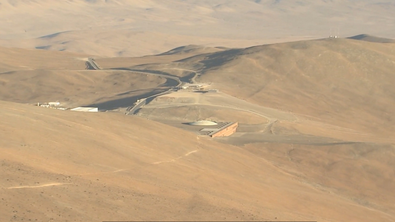
In the Atacama Desert, a Tropical Oasis with Pool and Palm Trees Hosts Astronomers Studying the Universe

-
São Paulo Unveils 500 Electric Buses with $1.3 Billion Investment, Aiming to Cut 20 Million Liters of Diesel Annually and Showcase Clean Mobility

-
Robot Works 900 Hours to Build World’s Tallest 3D-Printed Concrete Tower, 30 Meters High, in Swiss Village of 12 Residents


In practice, rainfall accumulations can reach 50 mm per day in eight states of the region. Additionally, winds are expected to vary between 40 and 60 km/h, which increases the risk of urban disruptions.
In Pernambuco, for example, the alert extends across various areas, including the Pernambuco Forest, the Metropolitan Region of Recife, the Agreste, the Sertão, and also the São Francisco region of Pernambuco. In other words, practically the entire state is under the direct influence of this instability.
Meanwhile, other states such as Piauí, Ceará, Rio Grande do Norte, Paraíba, Alagoas, Sergipe, and Bahia are also facing similar conditions. In these regions, there is a possibility of heavy rain in a short period, which can cause localized flooding, flash floods, and even temporary interruptions in electricity supply.
Orange alert raises concern with accumulations of up to 100 mm and winds of up to 100 km/h
On the other hand, the scenario becomes even more concerning in specific areas. Maranhão appears as the only state with regions under an orange alert, which indicates real danger and requires heightened attention.
Furthermore, a coastal strip extending between Salvador, Aracaju, and Maceió is also under this higher level of risk. In these locations, rainfall accumulations can reach an impressive 100 mm per day.
At the same time, winds can reach speeds between 60 and 100 km/h, which significantly increases the risks. Among the main expected impacts are falling tree branches, electrical discharges, traffic disruptions, and power outages.
Therefore, the advancement of this instability reinforces the need for constant monitoring and attention to weather updates.
Temperatures in the capitals and a feeling of muggy weather even with intense rain
Despite the rainy scenario, temperatures remain high in much of the northeastern capitals. This contrast contributes to the feeling of muggy weather and enhances the formation of storms.
Check the updated data:
Recife: minimum of 24°C and maximum of 32°C
Aracaju: minimum of 25°C and maximum of 30°C
Fortaleza: minimum of 24°C and maximum of 30°C
João Pessoa: minimum of 25°C and maximum of 31°C
Maceió: minimum of 22°C and maximum of 28°C
Natal: minimum of 24°C and maximum of 31°C
Salvador: minimum of 24°C and maximum of 30°C
São Luís: minimum of 23°C and maximum of 28°C
Teresina: minimum of 24°C and maximum of 30°C
Thus, even with rain, the heat remains present, creating an environment conducive to more intense climatic events.
Official recommendations reinforce precautions in light of wind gusts and urban risks
In light of this scenario, INMET reinforces a series of important guidelines for the population. In case of wind gusts, the recommendation is to avoid sheltering under trees, as there is a risk of falls and electrical discharges.
Additionally, it is also essential not to park vehicles near signs, towers, or elevated structures. Another important measure is to reduce the use of electronic devices plugged into the outlet during storms.
Finally, the population should seek updated information from the Civil Defense, through the phone number 199, and from the Fire Department, at the number 193. These simple actions can make all the difference in risky situations.
Given this alert scenario with the risk of intense rainfall, winds of up to 100 km/h, and possible flooding, do you think your region is truly prepared to face this type of climatic situation?


Be the first to react!