Portuguese
  Spanish
NASA and Jet Propulsion Laboratory Project Uses IceNode Robots to Monitor Antarctic Ice with Unprecedented Precision, Revealing Hidden Climate Impacts and Accelerating Studies on Global Polar Melt.
In August 2024, engineers from the Jet Propulsion Laboratory, affiliated with NASA, unveiled a project that could change how the world measures polar ice melt: a fleet of autonomous underwater robots called IceNode, designed to operate in one of the planet’s most inaccessible regions, the interface between the ocean and the base of Antarctica’s ice shelves. The information was reported in international news, including coverage by Reuters, highlighting that the devices were created to collect data where satellites simply cannot reach.
Each unit of the system is approximately 2.4 meters long and about 25 centimeters in diameter, designed to descend beneath ice shelves and attach to the underside of these structures, remaining there for up to an entire year. The goal is to directly measure temperature, salinity, and ocean current dynamics at critical melting points, something that until now could only be estimated by indirect models.
Continue reading below to understand how these robots work, why they are considered essential for climate science, and what they can reveal about the future of sea level.
-
She spent 73 years breathing inside an iron lung, survived the aftereffects of polio, and became the last woman in the United States dependent on the equipment before dying at 78 years old.

-
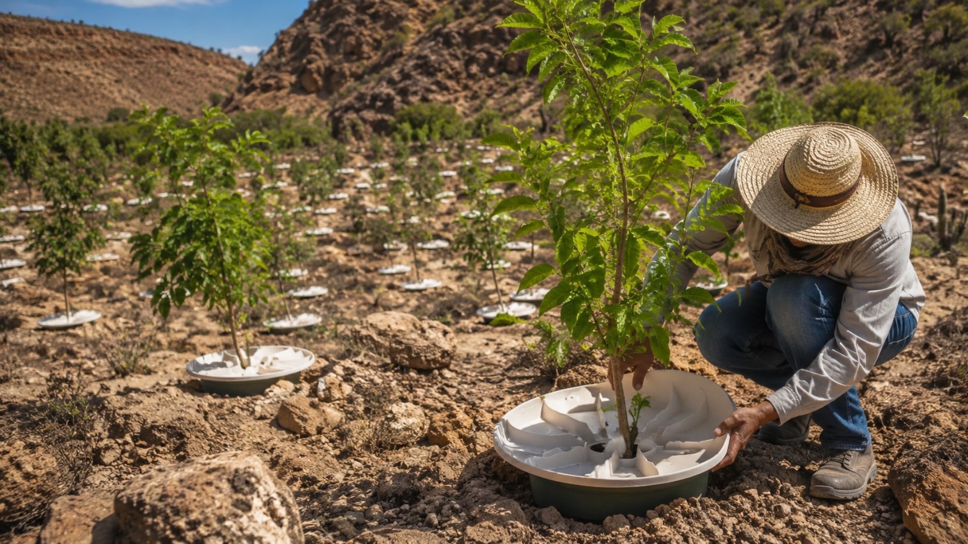
Brazilian students created a $1 filter using pine bark, cotton, and 3D-printed parts to clean cassava wastewater, reduce the toxicity of a hazardous waste, and transform contaminated water into biofertilizer.

-
Astronaut from Artemis II steps down after mission to the Moon and decision surprises after a record of 406,771 km, a historic 10-day journey, and an unprecedented achievement for Canada.

-
A fossil kept for years in a small museum in Montreal concealed 450-million-year-old soft tissue, a discovery that has only happened once before in history.


IceNode Robots Designed to Operate Where Satellites and Conventional Sensors Cannot Reach
The region that IceNode will monitor is known as one of the least understood areas of the Earth’s climate system. This is the base of ice shelves, where the ocean comes into direct contact with floating ice. This point is considered critical because it is there that melting occurs most intensely and silently.

Satellites can measure changes on the ice surface, such as thinning and displacement, but cannot directly observe what happens underneath. This creates an important data gap that IceNode was designed to fill. In practice, the robots enter an environment invisible to most current technologies, taking sensors directly to the point where the ice is being eroded by ocean water.
Robot Structure Allows Attachment Under Ice and Continuous Monitoring for Up to One Year
Unlike traditional submersibles, IceNode does not rely on constant propulsion. They are designed to drift with ocean currents until they reach the desired location, where they can attach to the underside of the ice shelf. Once positioned, they operate as fixed monitoring stations.
This strategy reduces energy consumption and allows the devices to remain active for long periods. The estimated operating time is up to one year, which allows for recording seasonal variations and changes over time, something fundamental to understanding ice behavior.
Direct Measurements Can Reveal How Warm Water Accelerates Melting at the Base of Glaciers
One of the main objectives of the project is to understand how warm ocean water is interacting with the ice. Previous studies already indicate that warmer ocean currents can penetrate beneath ice shelves, melting them from below. However, the intensity, frequency, and dynamics of this process are still poorly understood.
IceNode will measure parameters such as water temperature, salinity, current movement, and the rate of heat exchange between ocean and ice. This data is essential for validating climate models and improving predictions about polar melt.
Melting at the Base of the Ice is One of the Main Drivers of Sea Level Rise
What makes this type of research critical is its global impact. The melting of ice shelves does not directly contribute to sea level rise, because these structures already float. However, they act as a kind of “barrier” that holds back continental glaciers.
When the base of these platforms weakens, the terrestrial ice behind them can accelerate towards the ocean. This process can release large volumes of continental ice, directly contributing to sea level rise.
IceNode Project represents a new generation of robotics applied to climate science
The development of IceNodes reflects a growing trend: the use of advanced robotics to explore extreme environments. Just as rovers were used on Mars, these devices are designed to operate in hostile conditions, with low temperature, high pressure, and a lack of constant communication.
The innovation lies in the combination of autonomy, energy efficiency, and the ability to operate for long periods without human intervention. This type of technology significantly expands the data collection capability in previously inaccessible regions.

Collected data can reduce uncertainties in global climate predictions
Climate models rely on precise data to predict the planet’s behavior. In the case of Antarctica, one of the biggest sources of uncertainty lies precisely in the interaction between ocean and ice. Without direct measurements, scientists must use estimates based on indirect data.
With IceNodes, it will be possible to feed models with real information, reducing error margins. This can directly impact predictions about sea level rise in the coming decades.
Mission also faces technical challenges in an extreme and unpredictable environment
Despite its potential, the project faces significant challenges. Navigation under ice is complex, and communication with the devices is limited. Furthermore, ocean currents can displace the robots to unexpected areas. Another risk is the accumulation of ice or sediment on the sensors, which can affect measurements. These factors make the mission technically challenging, requiring a high level of engineering and planning.
Initiative reinforces Antarctica’s importance in global climate balance
Antarctica plays a fundamental role in Earth’s climate system. Its ice shelves regulate the flow of continental ice and influence global ocean currents. Changes in this region can have chain effects, impacting climate, sea level, and weather patterns in different parts of the world. The IceNode project places this region at the center of modern climate research.
The main change brought by initiatives like this is the ability to directly observe phenomena that could previously only be inferred. This represents a leap in scientific understanding, allowing for more precise and well-founded analyses. Science no longer relies solely on models and gains access to direct data from the extreme environment, which can transform the understanding of polar ice behavior.