
 Portuguese
  Spanish
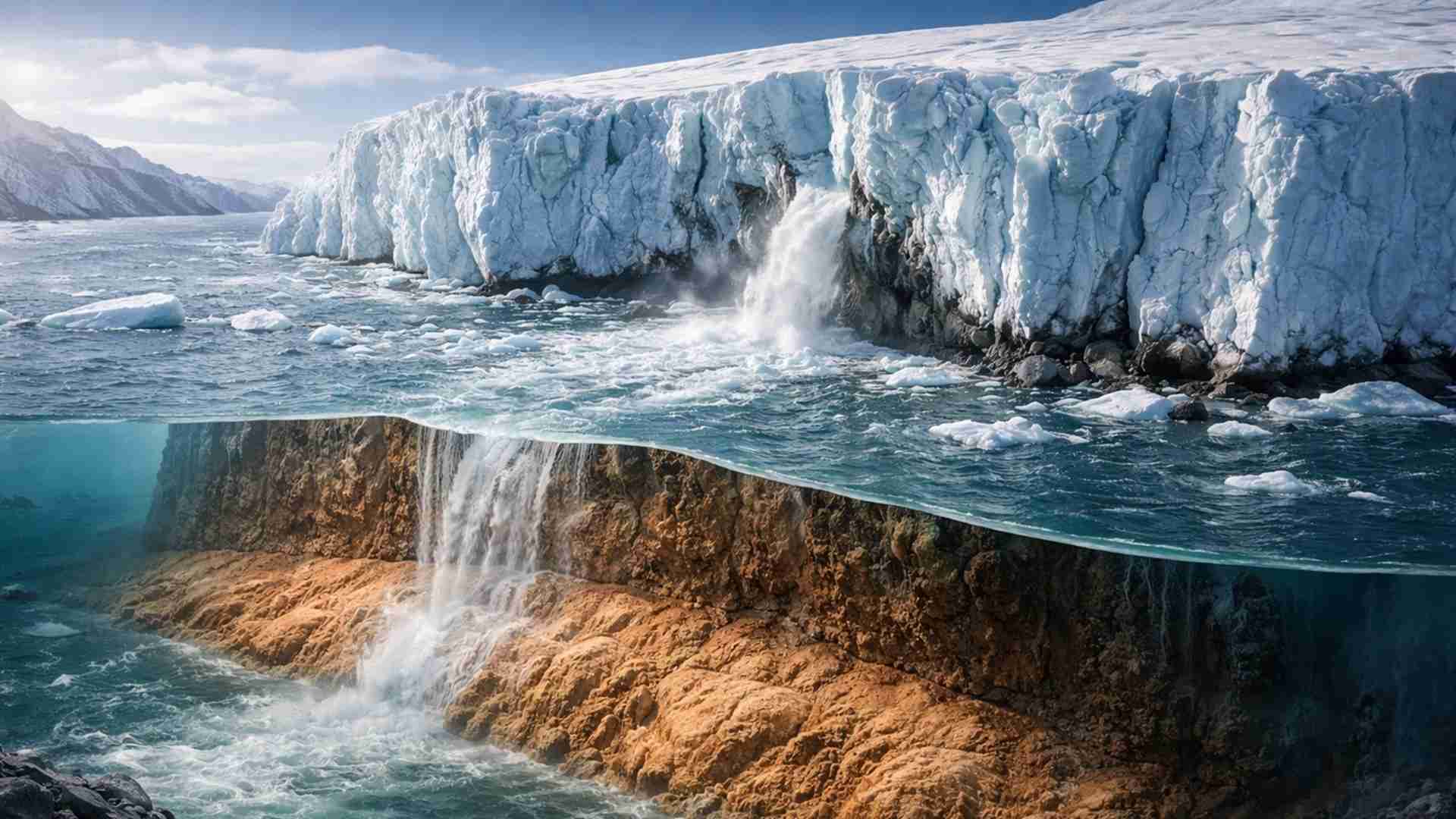
Study Conducted by Scientists at the University of California, San Diego, Reveals That a Layer of Soft Sediments, Up to 200 Meters Beneath the Greenland Ice, Reduces Basal Friction, Accelerates the Flow of Glaciers into the Ocean, and Increases Uncertainty in Global Sea-Level Rise Projections
Scientists at the University of California identified soft sediments beneath the Greenland ice that accelerate the flow of ice to the ocean, intensifying mass loss, increasing vulnerability to global warming, and influencing sea-level rise projections.
The Achilles’ Heel of Greenland Ice
Underneath the vast ice cover of Greenland, a geological fragility alters glacier dynamics. Research reveals a layer of soft, wet sediments that can be up to 200 meters thick, acting as an unstable base for the ice.
These sediments allow glaciers to slide more easily toward the ocean. The mechanism reduces basal friction, favors accelerated ice movement, and increases mass transfer from the ice sheet to the sea.
-
3,000-Ton, 81-Meter Attack Submarine Begins Sea Trials, Equipped with Heavy Torpedoes and Anti-Ship Missiles

-
Boat Made from 10 Tons of Plastic and 30,000 Discarded Flip-Flops Sails Along African Coast, Serving as a Floating Classroom on Ocean Pollution
-
Welder Discovers 16th-Century Diamond Ring in England After 7 Hours with Metal Detector; Gold Jewel Linked to Edward I Pattern Auctioned for £17,000
-
Former Merchant Marine Captain Invents Fuel-Free Barrier, Removes 20,000 Tons of Trash from Chennai Rivers


This discovery shifts the scientific focus from atmospheric warming to subterranean processes.
The behavior of ice at the interface with the ground, invisible to direct observations, emerges as a decisive factor in understanding the future of coastal areas.
Seismic Mapping Reveals Hidden Sediments
To identify what supports the ice, researchers turned to seismic signals generated by distant earthquakes. The waves travel through ice, rock, and sediments at distinct speeds, allowing for differentiation of materials at depth.
The team analyzed data from 373 seismic stations distributed throughout Greenland. The measurements showed a highly heterogeneous subsurface, with extensive areas covered by water-saturated sediments in regions that feed fast-moving glaciers.
Instead of a continuous rocky base, the maps indicate a mosaic of terrains. Where there is hard rock, ice encounters resistance; where there are soft sediments, deformation occurs, resulting in lower friction and higher flow speeds to the ocean.
The Direct Influence of Meltwater
The role of meltwater is central to this process. During summer, water formed on the surface finds natural fractures, known as glacier mills, and reaches the base of the glaciers.
Upon reaching the bottom, the water acts as a lubricant. Basal pressure increases, the force that keeps the ice adhered to the ground decreases, and the sediments become even more unstable, facilitating sliding.
This mechanism connects surface events to deep changes. Heat pulses at the top of the ice sheet can result, weeks later, in accelerated ice flow under kilometers of thickness, with cumulative impacts on the ocean.
A Thermal Mosaic Beneath the Polar Ice Cap
Not all areas of the ice sheet’s base present the same thermal conditions. Some areas remain frozen in contact with the ground, limiting sediment deformation and restricting ice movement.
Other regions are thawed, which facilitates sliding. Thermal models largely coincide with areas of thick sediments but also reveal unexpected instability in regions considered cold.
This combination of cold ice and soft sediments indicates that the subterranean reality is more complex than generalized maps suggest. The interaction between temperature, water, and type of base defines the local response of glaciers.
Implications for Sea Level
Between 1992 and 2018, Greenland contributed to a global sea-level rise of about 1.1 centimeters. Although this figure may seem small, it represents a significant risk for coastal cities and densely populated deltas.
The presence of soft sediments suggests that the response of glaciers to warming may be quicker than models based solely on solid rock indicate. This directly affects the accuracy of future projections.
Understanding the distribution of these sediments allows for more realistic estimates. Identifying vulnerable areas helps anticipate scenarios of flooding, aquifer salinization, and damage to coastal infrastructure.
Limitations of the Observation Network
Despite the use of 373 seismic stations, Greenland remains under-instrumented. In some regions, the transition between stable and unstable terrain can occur within a few kilometers.
Researchers point to the need for a denser and more permanent seismic network. This expansion would enable monitoring seasonal variations, especially those associated with summer melt and the arrival of water at the base of glaciers.
The seismic data have been combined with ice thickness maps and measurements of glacier speeds from satellites. Cross-referencing this information seeks to relate the observed surface movement to hidden processes beneath the ground.
Broader Environmental Consequences
The effects of accelerated melting extend beyond numerical projections. The increase in freshwater input into the ocean can alter coastal ecosystems, wetlands, and fishing areas in the North Atlantic.
Changes in ice flow influence beach erosion and the distribution of marine nutrients. Human communities dependent on these regions face increasing risks associated with sea-level rise.
Moreover, the additional input of freshwater can affect ocean circulation systems, such as the North Atlantic Current. Greenland, far from being isolated, interacts with climate and oceans on a planetary scale.
A Critical Factor for Future Projections
The identification of sediments beneath Greenland redefines priorities in climate research. Assuming a uniform rocky base may lead to underestimating the speed of glaciers’ response to warming.
Accurately mapping where ice rests on rock or sediment is essential for more reliable models.
This information underpins adaptation policies and planning in vulnerable coastal regions.
The study highlights that the behavior of ice depends as much on what happens above as below the surface. Ignoring this geological detail may hinder the understanding of the future rate of sea-level rise, a challenge already affecting millions of people worldwide.
Check the study at Seismic Evidence of Widespread Sediments Beneath the Greenland Ice Sheet.


Ei pare de escrever Fake news
Fico **** com o quão ruim é o texto de vocês.
Até quando vocês vão continuar publicando essas imagens falsas e imbecis que não tem nada a ver com a matéria??????!!!!!!
Perfeito 👏 e a matéria e Fake e sempre por esse cara