Portuguese
  Spanish
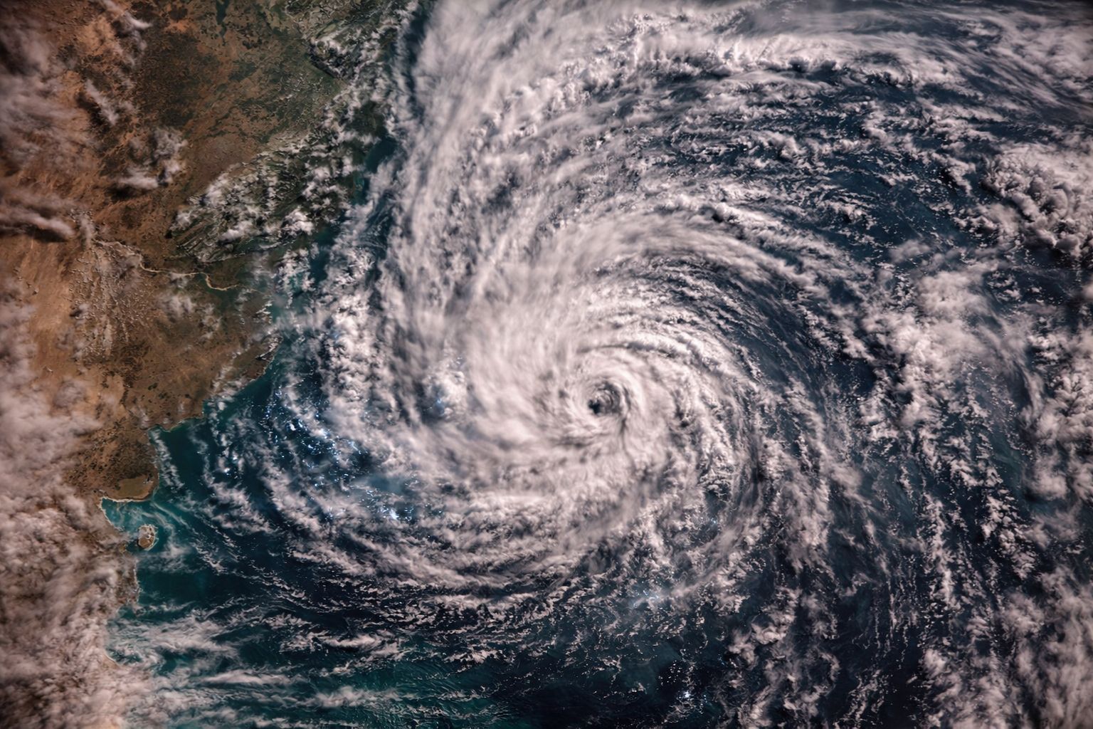
A cyclone forming between Argentina and Uruguay will hit four Brazilian states during the Tiradentes holiday. Rio Grande do Sul, Santa Catarina, Paraná, and Mato Grosso do Sul are facing forecasts of up to 100 mm of rain and winds of 70 km/h. After the storms, a mass of cold air will advance through the South with maximum temperatures of 20°C, while the Southeast may reach 36°C.
This year’s Tiradentes holiday is expected to be marked by storms that will hit four states Brazilian states with enough force to cause flooding, falling trees, and interruptions in the electricity supply. Between this Sunday (19) and Monday (20), a low-pressure area forming between Argentina and Uruguay is expected to give rise to a new cyclone. The phenomenon, associated with its cold front, will be responsible for storms that may accumulate up to 100 mm of rain and register wind gusts of up to 70 km/h in the Brazilian states closest to the system. Rio Grande do Sul, Santa Catarina, Paraná, and Mato Grosso do Sul are the four Brazilian states in the cyclone’s path.
The impact begins on Monday (20) and extends until Tuesday (21). The storms are expected to first hit a large part of Rio Grande do Sul, the extreme west of Santa Catarina and Paraná, as well as the south of Mato Grosso do Sul, advancing on Tuesday to the other regions of Rio Grande do Sul and Santa Catarina. After the passage of the cyclone, a mass of cold air will advance through the southern Brazilian states, dropping maximum temperatures to around 20°C on Wednesday (22). Meanwhile, in the Southeast and Midwest, the pre-frontal effect raises maximum temperatures to up to 36°C, creating an impressive thermal contrast between the regions.
Which Brazilian states will be affected by the cyclone during the holiday

image: Meteored
The cyclone forming between Argentina and Uruguay will directly affect four Brazilian states in a sequence that starts from the extreme south and moves northward. On Monday (20), the storms will hit a large part of Rio Grande do Sul, the extreme west of Santa Catarina, the extreme west of Paraná, and the south of Mato Grosso do Sul, regions that are the first to feel the arrival of the cold front associated with the cyclone. These four Brazilian states are expected to remain at risk of heavy rains throughout the entire holiday.
-
She spent 73 years breathing inside an iron lung, survived the aftereffects of polio, and became the last woman in the United States dependent on the equipment before dying at 78 years old.

-
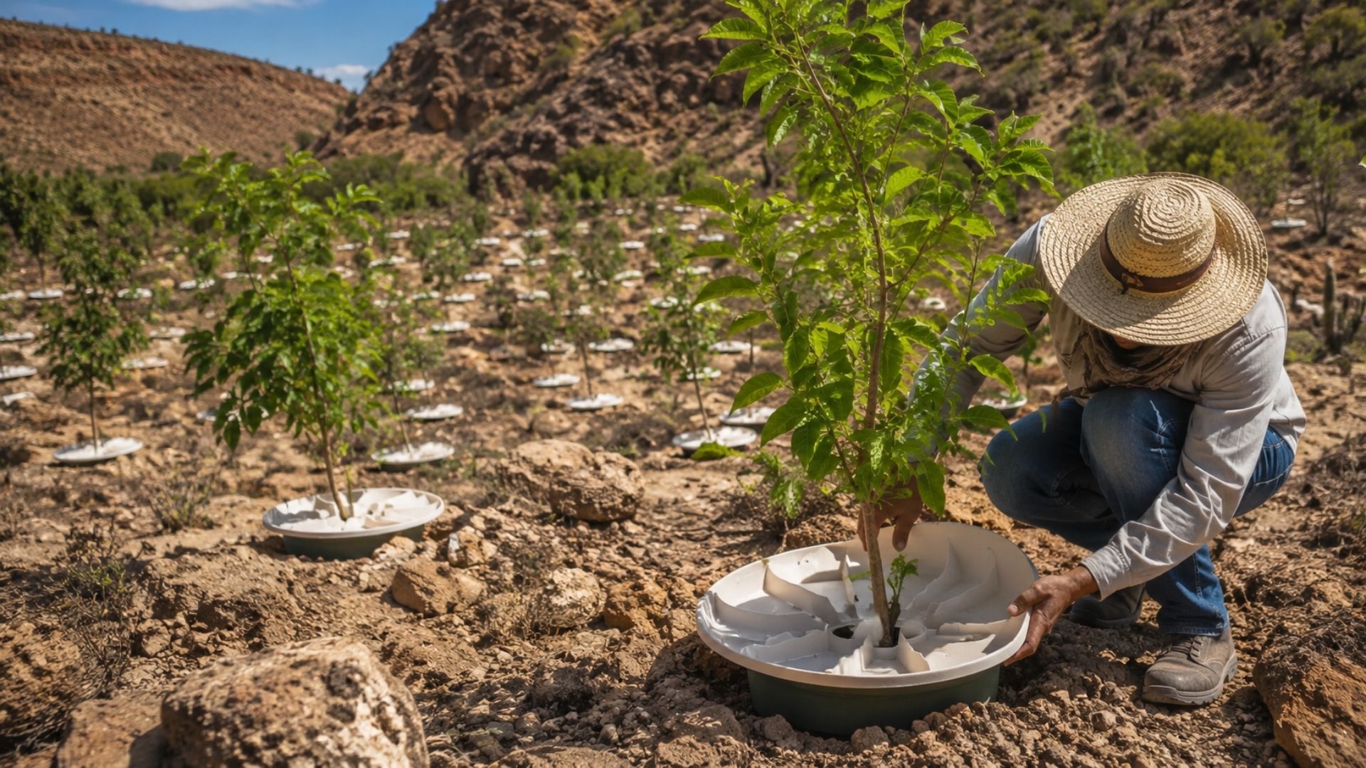
Brazilian students created a $1 filter using pine bark, cotton, and 3D-printed parts to clean cassava wastewater, reduce the toxicity of a hazardous waste, and transform contaminated water into biofertilizer.

-
Astronaut from Artemis II steps down after mission to the Moon and decision surprises after a record of 406,771 km, a historic 10-day journey, and an unprecedented achievement for Canada.

-
A fossil kept for years in a small museum in Montreal concealed 450-million-year-old soft tissue, a discovery that has only happened once before in history.


According to information from the G1 portal, on Tuesday (21), the instability will advance to the other areas of the Brazilian states already affected. Rio Grande do Sul and Santa Catarina are expected to receive the most intense rains, with accumulations that may reach 100 mm in isolated spots, a volume that most cities cannot absorb without urban flooding and insufficient drainage areas. The combination of heavy rain with strong winds increases the risk of disruptions that may interrupt the holiday for those planning outdoor activities.
What the cyclone can cause in the affected Brazilian states
The expected effects for the four Brazilian states are significant and require attention. The rains can accumulate up to 100 mm, a volume capable of causing flooding in roads and urban areas, especially in cities with undersized drainage systems or in neighborhoods built in risk areas. One hundred millimeters of rain in a few hours means that each square meter of surface receives 100 liters of water, a volume that turns streets into temporary rivers.
The gusts of wind represent an additional risk for the Brazilian states in the cyclone’s path. Winds of up to 70 km/h can break tree branches, tear off roofs, destroy makeshift coverings, and knock down poles, causing interruptions in the electricity supply that can last for hours or days depending on the extent of the damage. For residents of the four affected Brazilian states, recommendations include avoiding flooded areas, keeping a distance from trees and poles during gusts, and having flashlights and non-perishable food in case of power outages.
The temperature contrast that the cyclone will create in Brazil
The passage of the cyclone through the southern Brazilian states generates a meteorological phenomenon that divides the country into two opposing scenarios. While the cold air mass following the cyclone drops temperatures in the South to a maximum of 20°C on Wednesday (22), the pre-frontal effect raises the maximums in the Southeast and Central-West to up to 36°C, a contrast of 16 degrees between regions that are just a few hundred kilometers apart.
This contrast is caused by the dynamics of the cyclone itself. The system generates currents that blow from the north in the regions ahead of the cold front, bringing warm air from tropical areas and increasing sunlight incidence, while behind the system, the cold air advances and keeps the southern Brazilian states under temperatures well below what they experienced in previous days. For residents of western Paraná, for example, the change can be felt within hours: from pre-frontal heat to the arrival of cold air marking the end of the storms.
How to protect yourself during the storms in the affected Brazilian states
For those in the four Brazilian states in the cyclone’s path, the protective measures are practical and straightforward. Avoid flood-prone areas even if they seem shallow, keep a distance from streams and rivers that can overflow quickly, secure loose objects on balconies and backyards that the wind can throw, and unplug electronic devices are actions that reduce risks during rain showers with gusts of wind.
In rural areas of the affected Brazilian states, attention must be heightened. Dirt roads can become impassable with 100 mm of rain, and producers should protect equipment and animals before the storms arrive. Those who planned to travel during the Tiradentes holiday to destinations in the four Brazilian states under alert should consider postponing their trip or following updates from Civil Defense and meteorological services before leaving home.
What to expect from the weather after the cyclone passes through the Brazilian states
After the cyclone passes and the storms subside, the southern Brazilian states will face a different scenario. The cold air mass accompanying the system is expected to keep temperatures mild throughout the week, with highs around 20°C in Rio Grande do Sul, Santa Catarina, and western Paraná. For those who faced 100 mm of rain and winds of 70 km/h, the cold and dry air following the cyclone will at least be a relief from the instability.
In the Southeast and Midwest, the scenario is the opposite. The expected highs of 36°C during the pre-frontal effect should gradually give way as the cold front advances, but the heat may persist for a few days in Brazilian states that are not directly in the cyclone’s path. The week that starts with storms in the South and heat in the Southeast should normalize over the following days, but until then, the Tiradentes holiday will be marked by a cyclone that reminded Brazilians that April is still a month of unstable weather.
A cyclone will hit four Brazilian states during the Tiradentes holiday with up to 100 mm of rain and winds of 70 km/h. Are you in one of the affected states? How are you preparing? Share in the comments.