Portuguese
  Spanish


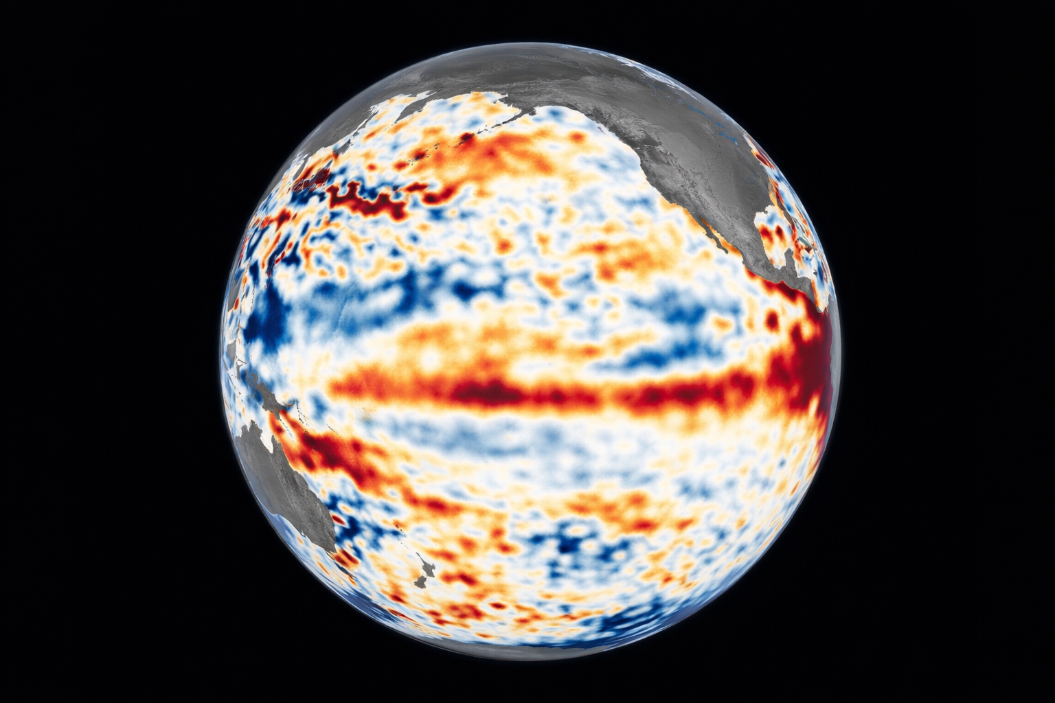


In The Eastern Tropical Pacific, Agencies Like NOAA And The Bureau Of Meteorology Warn Of A 60% Chance Of El Niño Emerging In June To Elevate Temperature And Cause Significant Changes In Rainfall, Droughts, And Cyclones Worldwide.
What happens in the Eastern Tropical Pacific has the power to cross oceans and continents. When the water and atmosphere change, the entire planet feels it. That’s why two major meteorological agencies put El Niño on the radar for 2026.
The possibility has gained traction in projections and raised a straightforward alert: the climate pattern could shift in a way that affects temperatures, rainfall, droughts, and even cyclone activity.
And there is one detail that makes everything more sensitive. In a world already warmed by greenhouse gas emissions, an extra push in global average temperature could be enough to turn 2026 and 2027 into real candidates for new records.
-
Detectorist found a 900-year-old silver coin

-
A newly discovered caterpillar in Hawaii wears the remains of its prey that it devoured as a macabre armor, stitching bones and insect shells to its own back for camouflage.

-
She heard for decades that space was not a place for women, became a pioneer in aviation, was part of the Mercury 13, and at 82, finally traveled with Jeff Bezos before dying at 87.
-
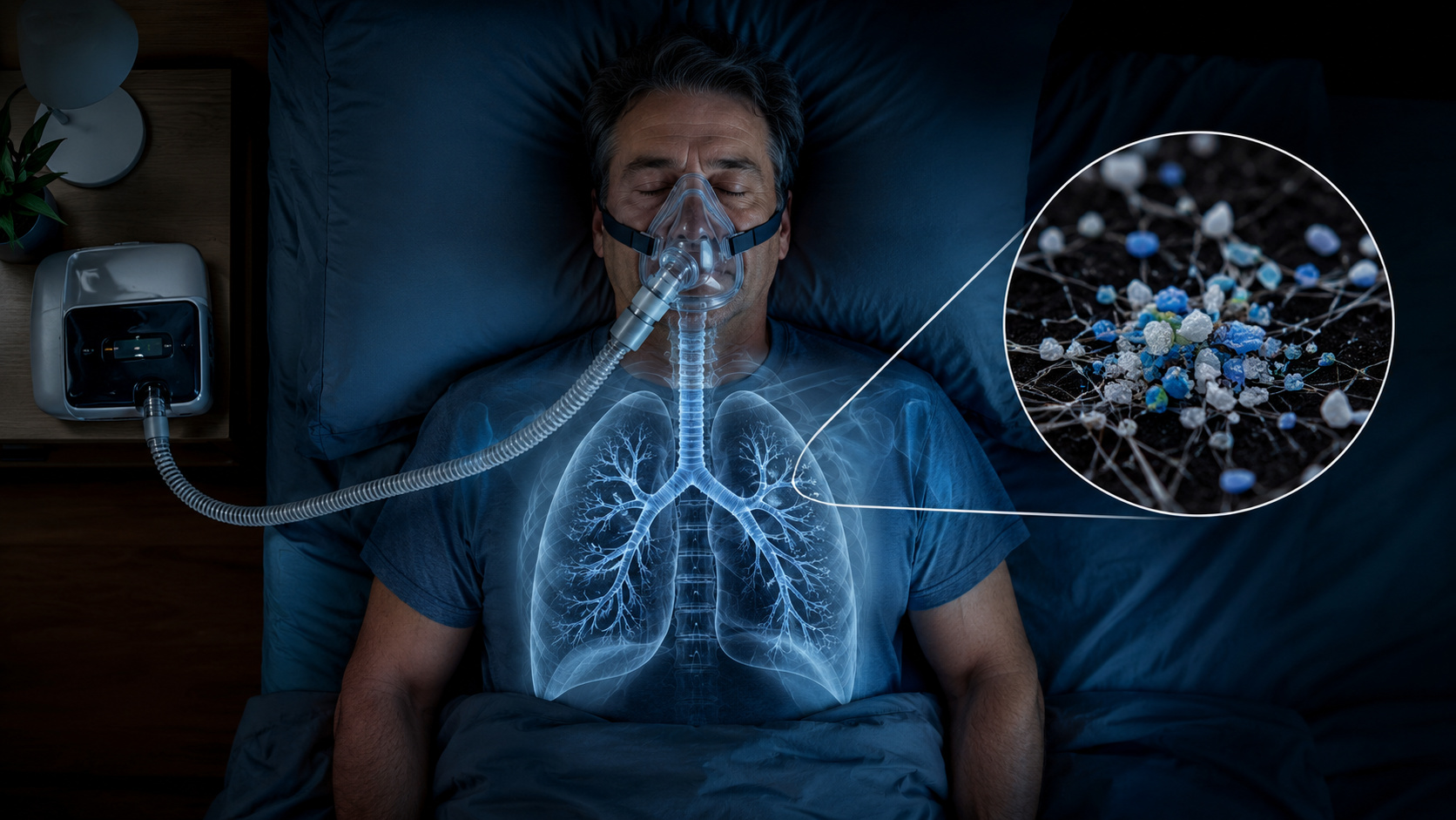
Scientists investigate microplastics in the airways of patients with sleep apnea and reveal a new focus for research on environmental pollution, human exposure, and possible impacts on breathing quality.


Why The Projections For 2026 Caught Attention In The Eastern Tropical Pacific
The latest forecasts from two leading centers suggest an increased chance of El Niño forming later in 2026.
The Climate Prediction Service (CPS) from NOAA estimates a probability of 50% to 60% for El Niño by the end of the Northern Hemisphere summer of 2026. The Bureau of Meteorology in Australia mentions a possibility of El Niño development starting in June.
Nevertheless, this type of prediction has a clear limit. Estimating the behavior of the ocean and atmosphere with many months in advance is challenging, so the scenario needs to be interpreted with caution.
What Is El Niño And Why Does It Alter The Climate Of Various Continents
El Niño is part of ENSO, a natural climate cycle driven by variations in ocean temperature and atmospheric pressure in the Eastern Tropical Pacific.
When this mechanism changes, the chain effect appears far from the point of origin. Rainfall patterns can shift, droughts can intensify, heat waves can become more likely, and tropical cyclones can change behavior.
ENSO alternates between three phases. El Niño is the warm phase. La Niña is the cold phase. And there is also a neutral state, when neither dominates.
La Niña Is Still Present But May Weaken Between February And April 2026
The world is still in La Niña, but the current situation indicates weakening.
NOAA models suggest a 60% chance of transitioning from La Niña to ENSO neutral between February and April 2026. When this shift occurs, the chance of the system moving towards an El Niño later increases, although this is not certain.
This point is noteworthy because the phase change typically rearranges probabilities, not just temperature. That’s where changes in rainfall, drought, and extremes come into play.
Up To 0.2°C More On The Planet And Why 2026 And 2027 Are On The Record Radar
On average, El Niño tends to raise global temperatures by up to about 0.2°C. It seems small on paper, but it becomes significant when the planet is already warmed by greenhouse gases.
This extra push increases the chance of record heat and may intensify extreme events, such as droughts and floods, in different regions.
A recent example helps to understand the gravity. 2025 ranked among the hottest years ever recorded globally, even ending with the cooling influence of a La Niña. Without this cooling and with the potential onset of warming from El Niño, 2026 and 2027 could become extremely hot.
There’s one statistic that weighs heavily on this scenario. The last 11 years have been the 11 hottest on record. If El Niño really forms, it’s highly likely that the following two years will also fall into this range.
Where Rain Increases, Where Drought Appears, And How Cyclones May Change
The change isn’t limited to the global average temperature. El Niño tends to reorganize the weather map.
The expectation is for increased rainfall and flooding risks in the southern United States and southern Europe. At the same time, the northern United States and Canada are likely to experience drier and hotter conditions than normal.
In the oceans, the contrast is even more intriguing. In the Atlantic, El Niño typically weakens the hurricane season. Meanwhile, in the central and eastern Pacific, it tends to strengthen hurricane activity.
This type of effect is surprising because it demonstrates how a concentrated change in the Pacific can impact various ocean basins and alter the extremes in different regions simultaneously.
An El Niño in 2026 is still not a certainty, but the signs of higher chance, the potential transition from La Niña to neutrality between February and April 2026, and the ability to elevate temperatures by up to 0.2°C place 2026 and 2027 on the global radar, with impacts that may manifest broadly in rainfall, droughts, and cyclones.
Tell us in the comments: What concerns you most about this scenario, record heat, flooding risks, stronger droughts, or changes in hurricane activity?