
 Portuguese
  Spanish
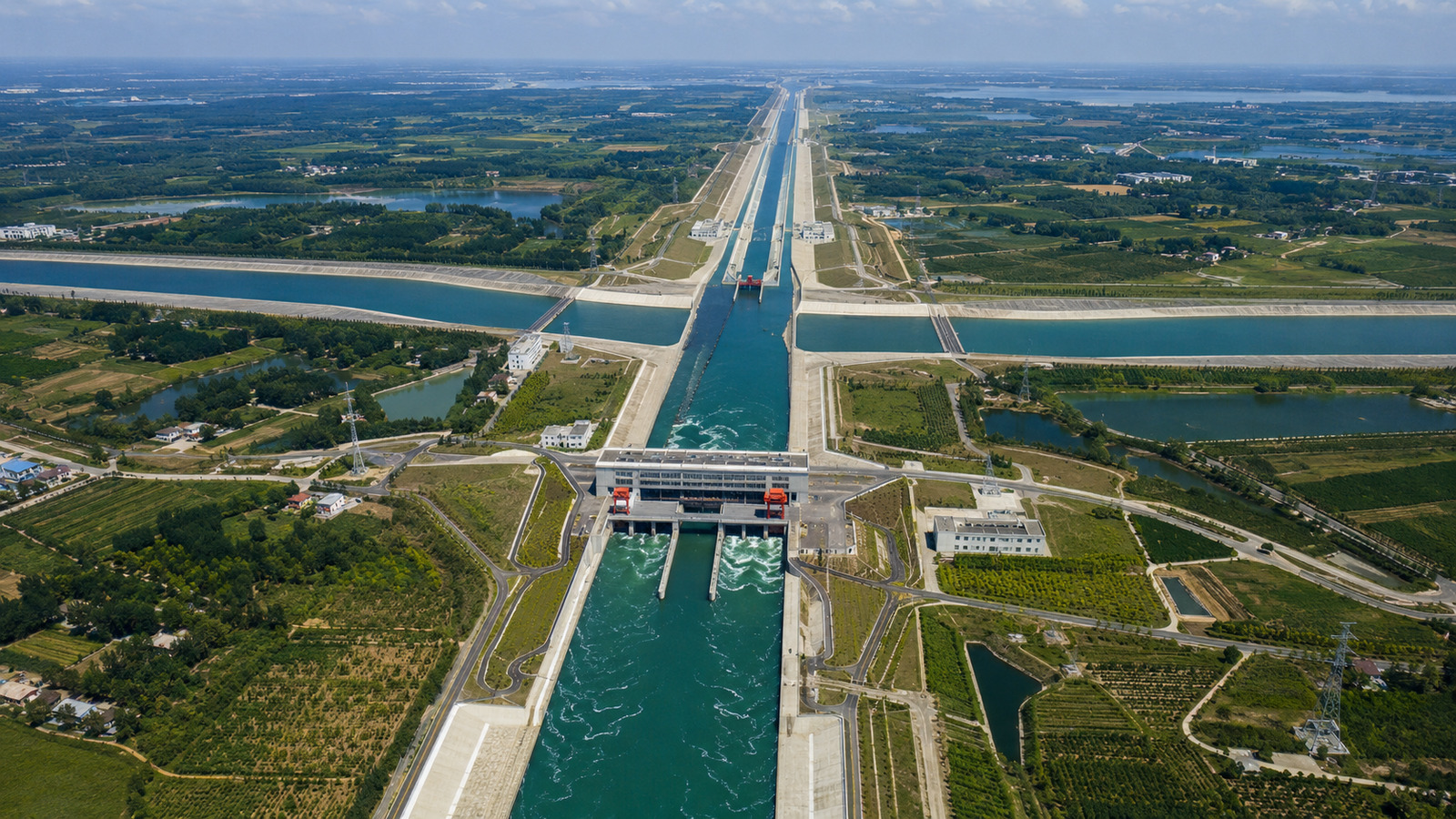
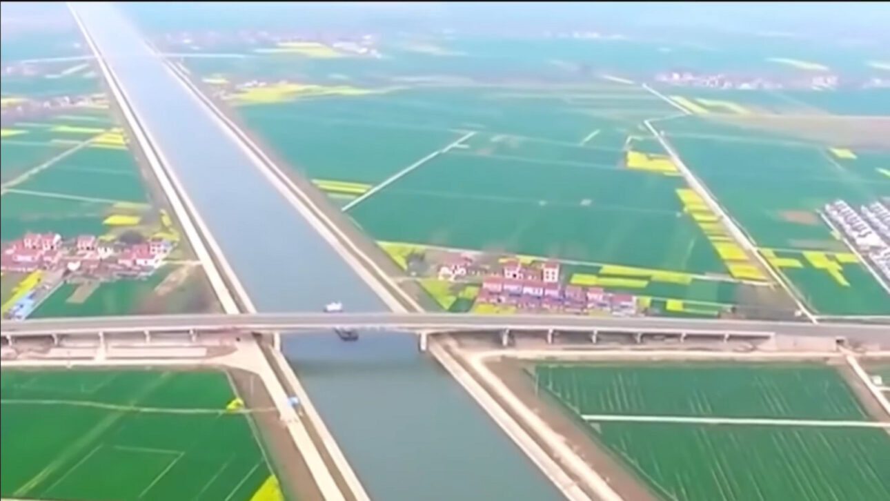
Launched in 2002, the largest water diversion in the world uses canals, tunnels, reservoirs, and pumping to supply dry regions, while a third route on the Tibetan Plateau remains under debate
The water diversion in China, launched in 2002, has already transported tens of billions of cubic meters from the wet southern basins to drier and more populous areas in the north, including regions near Beijing and Tianjin, through the largest water transfer network on the planet.

Water diversion attempts to correct imbalance between south and north
At first glance, China may seem far from a water crisis. The country spans 9,596,960 km², hosts some of Asia’s most voluminous rivers, has large glacial reserves, and areas affected by monsoon rains.
The problem lies in the distribution of water. The northern region concentrates a significant portion of the population in absolute terms and includes megacities like Beijing and Tianjin, with strong demand for supply.
-
Petrobras Launches Bold $12 Billion Plan to Build 42 Vessels and Create Over 5,000 Jobs

-
Former Carrefour site in Rio de Janeiro may become affordable housing complex with 600 units after nearly 20 years of closure and legal battles.

-
Shopee Turns Instagram Posts and Reels into Shopping Showcases, Allowing Creators to Tag Products and Earn Commissions

-
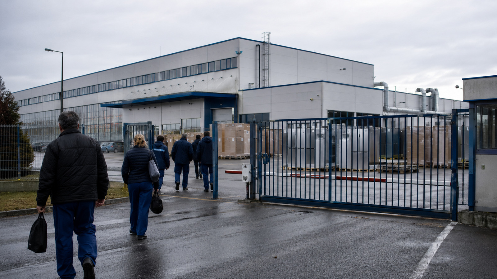
Electrolux to Close Hungarian Refrigeration Plant by 2026, Impacting Over 600 Jobs


To address this territorial imbalance, the country launched the South-North Water Transfer Project. The initiative has a central goal: to bring water from the wetter south to the drier north.

Network uses canals, reservoirs, pumping, and tunnels
The transfer occurs through a large structure composed of canals, reservoirs, pumping stations, and tunnels.
The system was designed to move large volumes of water between basins, on a scale rare in the world.
Currently, two routes are in operation. The eastern route takes advantage of part of the historic Grand Canal of China. The central route transports water from the Danjiangkou Reservoir to areas near Beijing and Tianjin.
Combined, these two structures have already transferred tens of billions of cubic meters of water. This scale makes the project the largest water transfer network on the planet.

Third route may cross the Tibetan Plateau
A third major route has been considered for several years. The proposal aims to capture water resources in the Tibetan Plateau and divert them to water-scarce basins in northern China.
This stage, however, involves much greater difficulties. The planned route would cross areas located between 3,000 and 4,000 meters in altitude, requiring long tunnels in rugged and inhospitable terrain.
Some studies mention hundreds of kilometers of tunnels and dams of gigantic proportions. Therefore, this phase remains the subject of analysis and debate, without the same operational condition as the two existing routes.
Climate change adds uncertainties to the megaproject
The scale of the project shows how China has been investing in large engineering works to tackle environmental challenges.
Land and water management is linked to dams, large-scale reforestation, and artificial precipitation modification systems.
Climate changes, however, add uncertainties. The Tibetan Plateau is warming rapidly, with glacier retreat and changes in precipitation patterns.
These changes may affect river flows in the coming decades. This means that infrastructure created to reduce water scarcity may face new limitations in the future.
This article was prepared based on the information provided in the source material about the South-North Water Transfer Project, with data, numbers, and descriptions preserved as per the consulted material.


