Portuguese
  Spanish


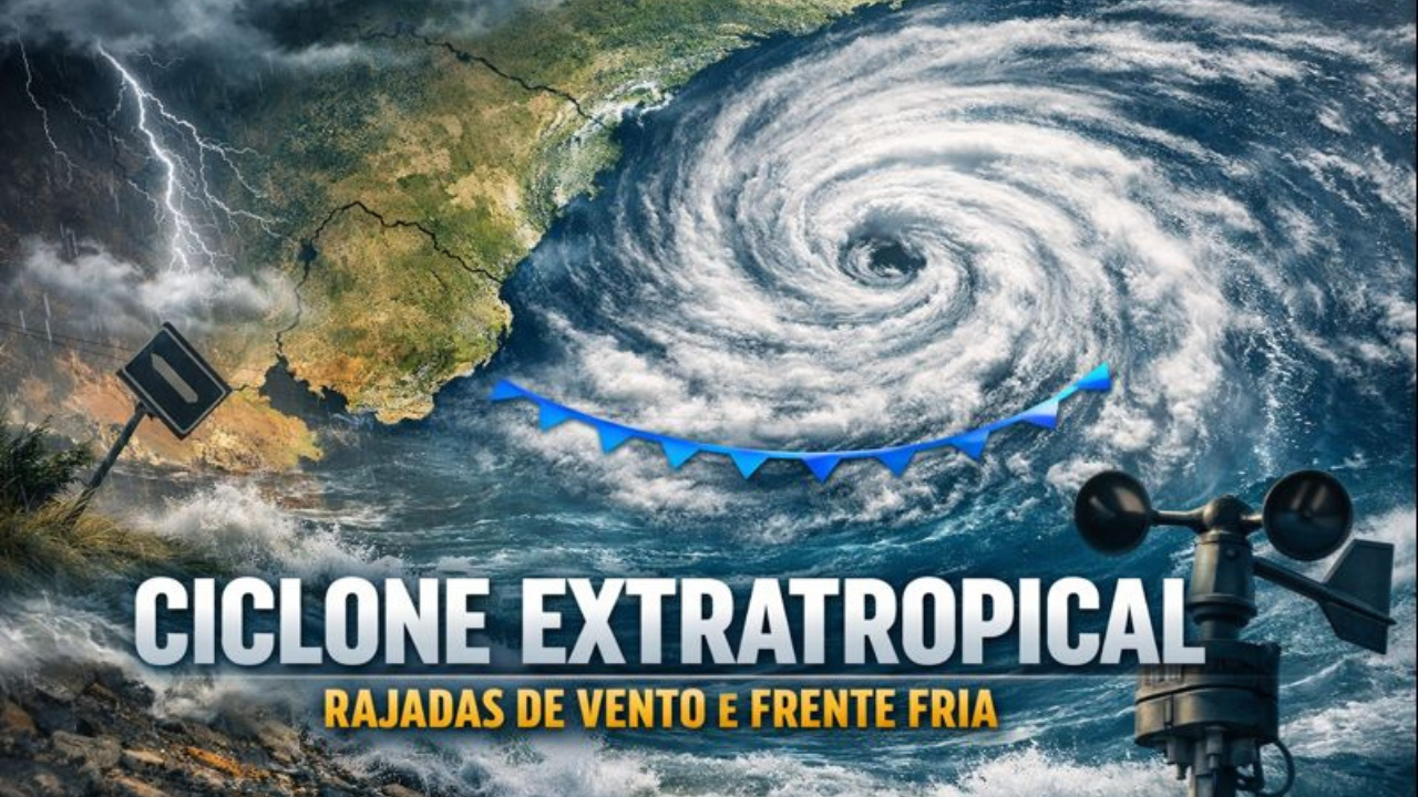


Extratropical Cyclone Associated With Low Pressure Causes Atmospheric Instability, Wind Gusts, and Cold Front in the South.
An extratropical cyclone began to organize between northeastern Argentina and Uruguay this Friday (9), causing atmospheric instability, heavy rains, and wind gusts mainly in Uruguayan territory.
The system, monitored by meteorologists from MetSul, is expected to have a short duration, low intensification capacity, and limited impacts in Brazil, primarily affecting the southern states with isolated storms and the passage of a cold front over the weekend.
Low Pressure Gives Rise to the Extratropical Cyclone
The process of formation of the extratropical cyclone began with the deepening of a low pressure over the north and northeast of Argentina.
-
Orphaned Youth Turns Dismissed Idea into Global Prestige with Innovative Wristwatch

-
English Skills Boost Career Opportunities in the Oil and Gas Industry

-
Brazil Secures Second Place at WorldSkills 2024 in Lyon, with 64 Young Professionals and 8 Medals, Including Gold from a Rio de Janeiro Hairdresser

-
3,000 Military Personnel from 10 Countries, Including US and Chinese Marines, Train Together in Brazil’s Savanna: Operation Formosa Becomes Largest Naval Ground Exercise Before First Cancellation Since 1988



This type of system occurs when there is unstable atmospheric circulation near the surface, favoring the development of heavy clouds.
Still on Friday, the low pressure advanced toward Uruguay, causing severe storms on Argentine soil.
There were reports of heavy rainfall, strong winds, and a risk of hail in some regions.
This rapid advance of the low pressure marked the initial stage of the system, preparing the scenario for the organization of the cyclone in the following hours.
Extratropical Cyclone Organizes Over the Rio da Prata
On Saturday (10), the center of the system consolidated over the Rio da Prata region, near the south of Uruguay and the metropolitan area of Montevideo.
At this moment, the meteorologists officially confirmed the formation of the extratropical cyclone.
The atmospheric pressure at the center of the system is expected to reach around 997 hectopascals (hPa).
This value indicates an active cyclone, but one that is distanced from extreme configurations observed in other episodes in South America.
Despite this, the presence of the extratropical cyclone intensifies atmospheric instability, increasing the risk of localized storms.
Why the System Should Not Intensify
According to experts, the main reason for the short duration of the extratropical cyclone is the absence of a more intense cold air mass.
This thermal contrast is essential for the system to gain strength.
“This cyclone will have a short life, as there will be no significant intense cold air mass acting to sustain it,” explains Estael Sias.
According to MetSul, without this thermal reinforcement, the low pressure cannot deepen as it moves toward the Atlantic Ocean, causing the system to lose energy rapidly.
Wind Gusts Affect Mainly Uruguay
The most significant effects of the extratropical cyclone are expected to be felt in Uruguay, especially between Saturday and Sunday.
Cities such as Montevideo, Colônia do Sacramento, San José, Canelones, and Maldonado may experience wind gusts between 70 km/h and 100 km/h.
“The area of strong winds will be quite restricted and concentrated near the center of the cyclone,” emphasizes Estael.
Therefore, southern Brazil is not expected to face persistent cyclonic winds, which last for several hours and usually cause more extensive structural damage.
Atmospheric Instability Affects Southern Brazil
Even without the direct passage of the extratropical cyclone over Brazilian territory, atmospheric instability significantly increases.
The combination of heat, humidity, and falling pressure favors the occurrence of isolated storms.
Between Friday and Saturday, the sun will be visible among clouds in Rio Grande do Sul, Santa Catarina, and Paraná.
However, the warming throughout the afternoon may stimulate locally intense rainfall, accompanied by wind gusts and possible hail.
In Rio Grande do Sul, winds will increase on Sunday, but moderately, ranging between 50 km/h and 70 km/h in inland areas.
Cold Front Advances and Changes the Weather on Sunday
On Sunday (11), a cold front associated with the extratropical cyclone advances through the Southern Region.
The rainfall will concentrate mainly in the north and northeast of Rio Grande do Sul, as well as Santa Catarina and Paraná.
In some areas, the volumes may be high in a short period.
Meanwhile, in the rest of the gaucho territory, the weather is expected to gradually improve throughout the day.
“This is not a case of continuous cyclonic wind, but of strong and rapid gusts associated with isolated storms.
MetSul emphasizes that there is no risk of an extreme event like that recorded in December in São Paulo. Everything indicates that it will be a weak, small cyclone far from Central Brazil,” notes Estael.