Portuguese
  Spanish


After decades of facing submerged paths during floods, residents of the Tapajós-Arapiuns Reserve received a 375-meter connection that improves mobility but still raises questions about durability, conservation, and the use of public funds.
Almost R$ 2 million in wood.
When the waters rose, the path disappeared. Students, rural producers, and families from Amazonian communities saw the passage become covered, dangerous, or completely interrupted during the flood season.
The solution delivered in June 2026 was a wooden bridge with 375 meters in length and 2.5 meters in width, built in the rural area of Santarém, Pará. The structure cost exactly R$ 1,975,647.05 from the municipal coffers.
-
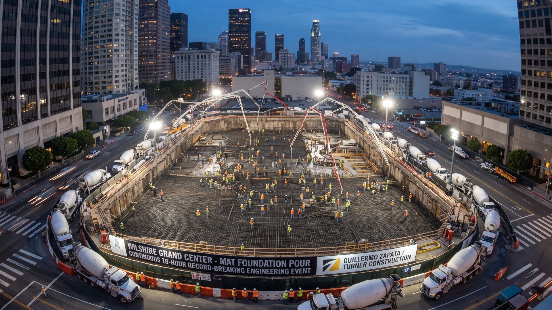
More than 2,100 trucks transported 16,200 cubic meters of concrete without interruption to create the foundation of the tallest skyscraper in the western United States and break a world record.

-
The man who started in construction with his own house founded a company in 1957, went through a banking crisis in 1987, and ended up connected to 16,500 houses in Houston.

-
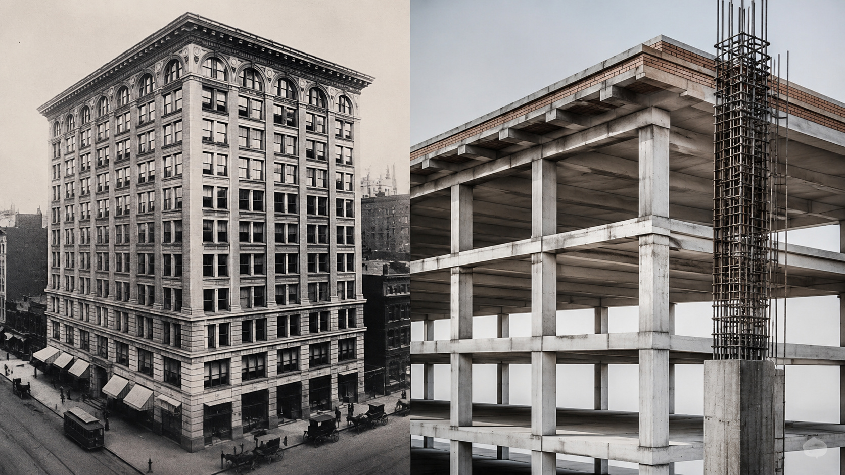
Builders challenged experts, erected a 16-story building using only reinforced concrete when the known limit was six floors, and proved that skyscrapers would never be the same again.
-
Up to 60 concrete mixer trucks pour 380 m³ of concrete onto the “big slab” of Niemeyer’s first work in Amazonas, in a decisive stage of the construction of the monumental oca that will mark the Parque Encontro das Águas in Manaus.



The construction connects Nuquini and Tucumatuba, within the Tapajós-Arapiuns Extractive Reserve, and is expected to benefit more than 5,000 people from ten communities.
The social impact is evident. But the invested amount and the lack of technical details in the public information consulted also open space for a discussion that should not be avoided.
A necessary bridge after decades of waiting
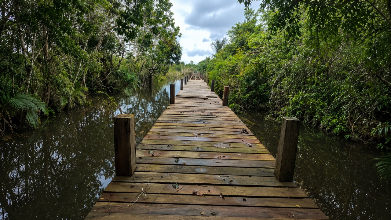
Local leaders claim that the passage had been requested for over 30 years. During floods, residents could lose the land connection with neighboring communities and face difficulties in studying, working, transporting products, or accessing services.
Documents from Santarém’s school transport record a route between Nova Vista, Nuquini, Tucumatuba, and Boim. The route serves elementary and high school students and shows that these localities do not live isolated from each other.
They form a daily corridor of movement.
The bridge does not replace the boats used in the region but keeps open a stretch that could previously disappear underwater. For those who depend on this path, the construction does not represent luxury or decoration. It represents basic mobility.
And it is precisely here that the first discomfort arises: why did a connection considered essential for thousands of people take more than three decades to materialize?
R$ 1.97 million for a narrow passage
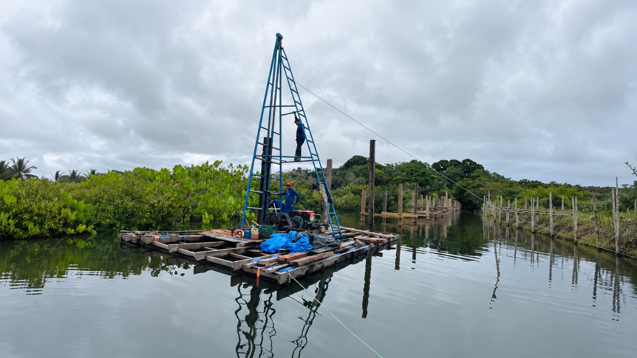
With only 2.5 meters in width, the structure was presented by the Santarém City Hall as a passage mainly intended for pedestrians, students, bicycles, and motorcycles.
There is no confirmation in the public disclosures consulted that automobiles can circulate in the area.
The surface of the deck reaches approximately 937.5 square meters. Considering the total amount reported, the cost corresponds to about R$ 5.2 thousand per meter of length.
This calculation does not represent just the price of the boards. The budget involves piles, beams, guardrails, painting, signage, transportation, land preparation, and labor.
Even so, the number draws attention. Mainly because the structure was built in wood and will be exposed to an environment of heavy rains, permanent humidity, and variations caused by the Amazonian floods.
Essential data remain without public response
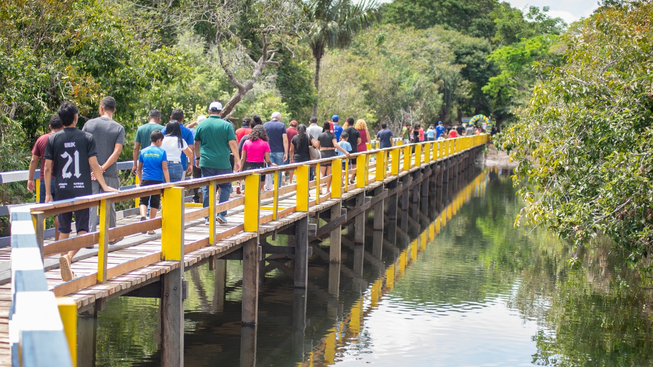
The information disclosed by the municipality does not detail which species of wood was used, what the maximum load capacity is, how long the structure is expected to last, or how periodic maintenance will be carried out.
Also not appearing in the open sources consulted are the structural calculation memory, the height considered in relation to the largest floods, the identification of the technical responsible, or an independent inspection carried out after completion.
This does not mean that these documents do not exist. It simply means that they were not found in the public information used to monitor the project.
The difference is important. Questioning is not claiming that there was irregularity. It is asking whether a project of almost R$ 2 million, fully funded with municipal money, is being presented to the population with the level of transparency that the amount demands.
Construction advanced rapidly in 2026
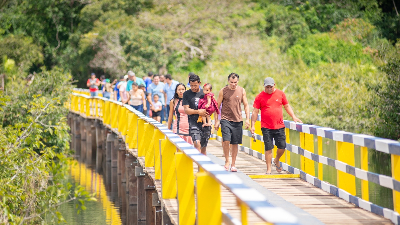
The order to start the work was signed on January 19, 2026. In March, the city hall reported that the execution had reached 52%, even with the rains in the region.
On May 19, the project was 80% completed. The delivery took place on June 6, about 138 days after the service order was signed.
The company responsible was IRS Empreendimentos Ltda., contracted in a process conducted by the Municipal Department of Agriculture and Fisheries.
The first communications mentioned 5,000 families benefited. Later, the municipality updated the information to more than 5,000 people, the most recent number used officially at the inauguration.
The bridge solves one problem and reveals another
The new passage reduces the risk of isolation, facilitates the movement of students and producers, and provides a concrete response to communities that have waited for decades.
But the very existence of the project exposes a larger reality.
In a reserve with more than 677,000 hectares, thousands of people spent years depending on a path that disappeared during floods. When the solution finally arrived, it came in the form of a narrow wooden bridge, costing almost R$ 2 million and still surrounded by questions about durability and maintenance.
The discussion, therefore, should not be only about whether the bridge was expensive or cheap. The most uncomfortable point is understanding why residents had to wait so long for a basic structure and whether, this time, the investment will be protected so it does not disappear over time, as the old path disappeared under the waters.