Portuguese
  Spanish
NASA Analysis Shows How Mexico City Suffers Accelerated Subsidence, With City Sinking and Growing Impacts on Infrastructure and Supply
Mexico City is experiencing a silent, yet increasingly evident process: the ground is continuously sinking. Data released on April 29 by NASA and reposted by Science Alert, indicate that subsidence can reach about 25 centimeters per year in some regions, a number considered high on a global scale.
This phenomenon occurs unevenly, which makes the scenario even more concerning. While certain areas experience slower sinking, others suffer rapid deformations, creating a complex dynamic of urban risks. In practice, it is a city sinking under its own structural and environmental challenges.
With approximately 22 million inhabitants and a metropolitan area extending over about 7.8 thousand square kilometers, the impact is not isolated. It affects millions of people and compromises essential systems. The new generation of satellite data reinforces the urgency of understanding and addressing subsidence with a scientific basis.
-
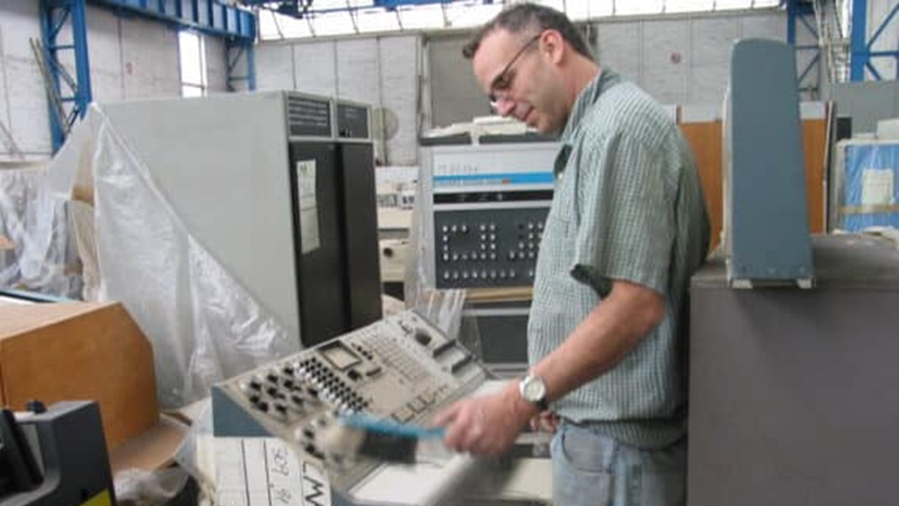
Abandoned warehouse hid a giant collection of rare computers, with over 2,000 artifacts from the 1930s to the 1980s.

-
Scientists warn that melting ice is triggering an alarming chemical transformation in preserved areas, and the first signs are already concerning researchers worldwide.

-
China placed 198 robotic legs under a 7,600-ton school and made the building walk 62 meters in 18 days, rotating the historic structure as if a concrete structure had gained feet to escape demolition.

-
Distributor confirms the premiere of ‘Dark Horse’, Bolsonaro’s film, in 650 cinemas with 99% of copies dubbed.


NASA Monitoring Shows Irregular Subsidence and the Advance of the Sinking City
Between October 2025 and January 2026, measurements made by the NISAR satellite — developed in partnership with ISRO — revealed that subsidence in Mexico City occurs heterogeneously. In specific areas, the ground can sink by about 2 centimeters per month.
This uneven behavior indicates that the sinking city does not follow a uniform pattern. Regions near the main airport and the Angel of Independence monument are among the critical points identified by scientists.
Geophysicist Enrique Cabral, from the National Autonomous University of Mexico, highlights that the Mexican capital exhibits one of the highest subsidence rates on the planet. According to him, the accumulated sinking has already exceeded 12 meters since the beginning of the last century, which demonstrates the historical severity of the problem.

Origin of Mexico City Subsidence Linked to Intensive Aquifer Exploitation
The explanation for this phenomenon is directly related to the geological formation of the region. Mexico City was built on the bed of an ancient lake, composed of clayey and highly compressible sediments.
Over more than a century, intensive groundwater extraction has drastically reduced the internal pressure of these sediments. As a consequence, the ground began to compact, generating subsidence.
This process occurs in continuous and cumulative stages. The more water is extracted, the greater the sinking. Among the factors that intensify this scenario are:
- Accelerated population growth
- High demand for drinking water
- Low natural recharge of aquifers
- Urban soil impermeabilization
This set of factors creates a difficult cycle to interrupt, in which the sinking city becomes a direct consequence of how natural resources are used.
Infrastructure Under Pressure as the City Sinks and Ground Deforms
The impacts of subsidence go beyond geology. They are directly reflected in the daily lives of the population and in the urban structure of Mexico City.
With the ground sinking unevenly, infrastructure suffers constant deformations. Entire systems need to be adapted or rebuilt to keep up with changes in the terrain.
Among the main observed effects are:
- Cracks in buildings and residences
- Tilt of historical structures
- Damage to water and sewage networks
- Compromise of the subway system
- Increased risk of flooding
The Metropolitan Cathedral, whose construction began in 1573, is one of the most emblematic examples. The visible tilt of the structure shows how subsidence can affect even historical heritage sites.
Moreover, streets and avenues show progressive unevenness, hindering urban mobility and increasing maintenance costs.
NISAR satellite technology enhances understanding of subsidence and urban risks
Technological advancement has allowed for a more precise reading of subsidence. The NISAR satellite uses synthetic aperture radar, capable of detecting millimetric variations on the Earth’s surface.
According to Paul Rosen, a scientist involved in the project, this technology allows us to see what happens below the surface with a level of detail previously impossible. This represents a significant change in how cities can be monitored.
In practice, the data provided helps to:
- Identify high-risk areas
- Map soil deformation patterns
- Plan interventions with greater precision
- Anticipate structural problems
The expectation is that, in the future, it will be possible to monitor even individual buildings, further enhancing prevention capabilities.
Urban inequality and water crisis intensify subsidence effects
Subsidence does not affect everyone equally. More vulnerable regions tend to suffer more severe impacts, both structurally and socially.
The water crisis further exacerbates this scenario. Dependence on deep aquifers maintains the cycle of active exploitation, hindering soil recovery.
This context creates significant challenges for public management. Among them:
- Ensure water supply without intensifying the problem
- Reduce territorial inequalities
- Adapt existing infrastructure
- Plan urban growth sustainably
The sinking city, therefore, is not just an environmental issue, but also a social and economic one.
Possible paths to reduce subsidence and protect the city
Faced with a complex problem, solutions also need to be comprehensive. Experts point out that mitigating subsidence depends on long-term planning and integration between different areas.
Among the strategies considered most effective are:
- Gradual reduction of groundwater extraction
- Expansion of recycled water use
- Investment in rainwater harvesting
- Structural reinforcement in critical areas
- Use of scientific data for urban planning
NASA’s role is important in this process, providing reliable information that guides strategic decisions.
An alert that redefines the urban future of Mexico City
The latest data shows that subsidence in Mexico City can no longer be treated as a secondary problem. It is a continuous, cumulative phenomenon with direct impacts on the lives of millions of people.
The fact that the sinking city reaches up to 25 centimeters per year in some areas and has already accumulated more than 12 meters of subsidence over time reinforces the urgency of structural actions.
With the support of advanced technologies and studies conducted by institutions like NASA, knowledge about the problem has advanced significantly. Now, the challenge lies in transforming this data into effective policies.
The future of the city will depend on its ability to balance urban development, water management, and soil preservation. Subsidence, once invisible, is now one of the main indicators that profound changes are necessary.
With information from NASA