
 Portuguese
  Spanish
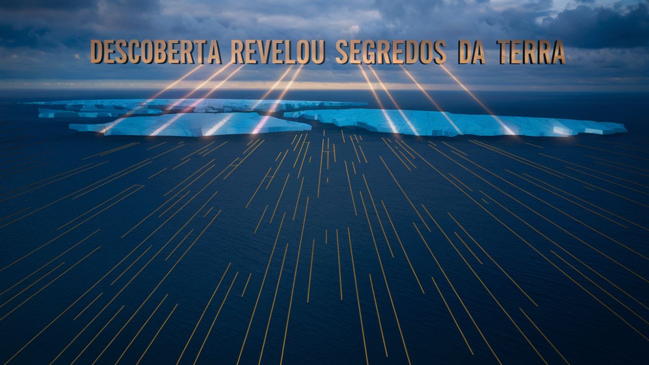
A Discovery Of Scientists Revealed Landforms Created About 1 Million Years Ago, Hidden At A Kilometer Depth In The North Sea, During The Middle Pleistocene Transition – A Milestone In Earth’s Climate Change.
Science takes us where we would never imagine going. Now, with the help of modern technologies, scientists have discovered lost landforms hidden beneath the muddy bottom of the North Sea. These submerged formations, created about 1 million years ago, date back to the mysterious Middle Pleistocene Transition (MPT), a period when Earth’s climate underwent radical changes. But what does this discovery reveal to us about the past — and about our future?
What Was The Middle Pleistocene Transition?
The MPT marked a turning point in Earth’s glacial cycles, shifting from periods of 41,000 years to 100,000 years. This change, occurring between 1.2 and 0.8 million years ago, brought new dynamics to the ice layers.
During the MPT, global temperatures fluctuated intensely, affecting both oceans and glaciers. These changes were driven primarily by variations in CO₂ levels, but to this day, scientists do not know exactly what triggered this transformation.
-
Brazilian student creates a cheap formula that makes plants grow up to 90% faster and wins an award in a global scientific competition.

-
Europe unveils armored tank with remote turret, 1,500 horsepower, and 120-millimeter cannon

-
Old hard drives may hide neodymium, dysprosium, praseodymium, and terbium, and a United States company is expanding its network with a new 93,000-square-foot facility to recover rare earths used in electric cars, artificial intelligence, defense, and renewable energy.

-
Giant crane lifts up to 3,000 tons, requires special logistics to reach the site, and can transform 18-hour operations into just 3 hours, speeding up the hoisting of oil platforms, refineries, and plants in giant industrial projects.


The glaciers in Northwestern Europe expanded and retreated as the climate cooled and warmed. This left impressive marks on the seabed of the North Sea, which are only now beginning to be revealed.
The Surprising Discovery Of Submerged Landforms

With advanced seismic data, a team of scientists identified submerged landforms about 1 kilometer below the seabed. These formations are a testament to the behavior of the ice sheets during the MPT.
The same technologies used to map areas of fossil fuel exploration allowed for the visualization of these buried formations in impressive detail. It’s as if a giant scanner revealed the scars left by geological history.
These landforms, shaped by retreating glaciers, are incredibly similar to those found in more recent glacial areas. They show how the glaciers moved, tearing into the ground and leaving marks like a sculptor shaping a masterpiece.
The North Sea: A Window To The Past
The North Sea is not just a space of saltwater; it is a time capsule. During warmer periods, its region housed Doggerland, a land inhabited by ancient humans.
Previous explorations by scientists in the North Sea revealed tools and traces of our ancestors. These discoveries place the North Sea at the center of archaeological and climate studies.
Before being engulfed by ice, the North Sea also experienced strong ocean currents. These currents sculpted grooves in the seabed, which can now be observed thanks to technological advances.
The Importance Of Scientific Discoveries For The Current Climate
These submerged landforms are not just an archaeological find; they give us clues about how glaciers respond to climate change.
The analysis by scientists of these formations shows how the glaciers retreated 1 million years ago, revealing a pattern that may repeat as the planet warms again.
If we want to predict how climate will impact the polar ice caps and sea levels, we need to study the cycles of the past. These findings are an essential piece of this puzzle.
Next Steps In Research
The scientific journey is just beginning. New technologies promise to deepen our understanding of the North Sea and its hidden stories.
The next step involves collecting sediment cores, which can reveal more precise details about the timeline of these glacial events.
With advancements in 3D seismic data and sediment analysis, scientists are getting closer to unraveling the mysteries of the MPT and its impacts on global climate.
The discoveries in the North Sea are a powerful reminder that the Earth still has many secrets to reveal. The submerged landforms, created over 1 million years ago, not only connect us to the past but also teach us valuable lessons about the present and future of the global climate. After all, understanding the planet’s history is the key to ensuring its survival.


Be the first to react!