Portuguese
  Spanish
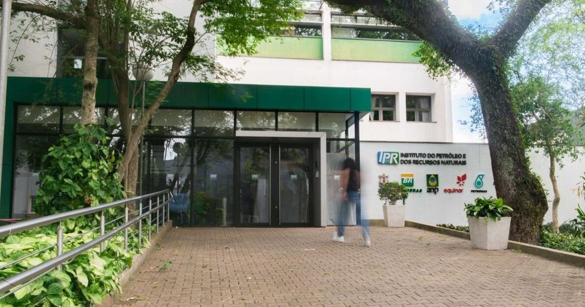
IPR Launches GIS CCUS Brazil Platform for Carbon Capture, Utilization, and Storage, Integrating Vector Data, Emission Sources, and Logistics Infrastructure into an Interactive Webmap.
The Institute of Petroleum and Natural Resources, in collaboration with Petrobras, presents the innovative GIS CCUS Brazil platform. This system integrates vector data with information about emission sources and logistics infrastructure, offering an interactive webmap. With this tool, it is possible to visualize the classification of carbon storage resources, providing a comprehensive and detailed view of the possibilities for carbon capture, utilization, and storage in Brazil.
The GIS CCUS Brazil platform is a pioneering tool in the field of carbon capture, utilization, and storage, bringing together essential information for environmental management and planning. In addition to identifying emission sources, the system highlights potential reservoirs and analyzes the available infrastructure to facilitate storage logistics. This innovation allows users to access data in a practical and intuitive manner, promoting more informed and strategic decision-making. The combination of these elements creates a solid foundation for future initiatives, consolidating Brazil as a reference in mitigation technology for environmental impacts.
About the Tool
The pioneering tool compiles and integrates national information about the main aspects related to CCUS, which is the abbreviation for the English expression Carbon Capture, Utilization, and Storage, a technological process that involves the capture, utilization, and storage of carbon. The platform is accessible online and free of charge.
-
Brazil Develops Its First Locally-Made 5G Radio Unit, Achieves Over 1.5 Gbps in Lab Tests, Paving the Way for Interoperable Equipment

-
El Niño Intensifies: Over 90% Chance of Persisting Until 2027, Raising Ocean Temperatures and Increasing Severe Weather Risks in Southern Brazil, Warns Federal Report

-
NASA Prepares Trio of Small Satellites to Track Tropical Storms and Capture Rapid Rainfall Development from Above the Clouds
-
$7,999 Isaac 1 Robot Aims to Tackle Household Chaos: Folds Clothes, Makes Beds, and Organizes, but Raises Privacy and Cost Concerns with Camera Reliance and Remote Human Assistance


The GIS CCUS Brazil Platform aggregates information from various public sources into a robust and integrated database. The vector data has been processed to display relevant information, offering a comprehensive and detailed view for strategic decisions regarding CCUS.
Strategic Mapping
Organized in a webmap, the platform adopts the global concept of source-sink matching, which correlates fixed CO₂ emission sources and potential subsurface reservoirs. It also integrates logistics and infrastructure data, restrictive areas, and the classification of storage resources according to the SPE Storage Resources Management System (SRMS) methodology, adapted to the Brazilian context. The data analysis involved the compilation, manipulation, and review of relevant legislation.
This initiative represents a significant milestone in CCUS technology in Brazil, providing a solid foundation for strategic decisions. This accelerates the implementation of carbon capture, utilization, and storage, strengthening the country’s position at the forefront of global solutions in addressing climate change.
Public and Technical Engagement
Clarissa Lovato Melo, project coordinator, emphasizes that the GIS CCUS Brazil Platform is a pioneering tool in the Brazilian CCUS landscape. In addition to supporting strategic decisions, it can facilitate public engagement, promoting awareness and acceptance of CCUS technology, which is vital for its successful adoption.
What is CCUS?
The technological process of CCUS involves capturing carbon dioxide (CO₂) from industrial processes, transporting it by ships or pipelines, the potential to utilize it as a byproduct, and finally, its storage in subsurface formations. For permanent storage, CO₂ is injected into deep geological formations, such as exhausted oil and gas reservoirs, saline reservoirs, and unmined coal seams, among other specific types of rocks, such as salt and basalts. This ensures that carbon is securely stored for thousands or even millions of years, preventing increases in CO₂ concentrations in the atmosphere.
Industrial Applications
CCS technology can be implemented in power plants and other industrial sectors, allowing them to continue their operations while adapting to the new global energy landscape. It is particularly useful for sectors that rely on carbon-rich raw materials, such as the oil and gas industry, or that produce large volumes of CO₂, such as the cement, steel, and chemical industries.
CCUS stands out as one of the important technological solutions in combating climate change, enabling the safe and efficient capture and storage of CO₂, contributing to the reduction of global carbon emissions, and promoting a just energy transition toward a more sustainable energy future.
Platform Details
The database of the GIS CCUS Brazil Platform contains information on emissions from over 1,500 CO₂ sources in the industrial and energy sectors. In addition, it includes about 18,000 infrastructure and logistics elements, along with more than 370,000 restrictive or protectable areas. The analysis of the geological CO₂ storage potential in Brazilian sedimentary basins integrated data from 30,121 exploratory wells and 14,900 geophysical surveys, as well as geological and geothermal information from 72 terrestrial and marine sedimentary basins. The consolidation of this information resulted in hundreds of layers detailing the distribution and thickness of the CO₂ storage system elements, emphasizing the volumetric capacity of saline reservoirs and depleted hydrocarbon reservoirs.
Source: PUCRS Press