

 Portuguese
  Spanish
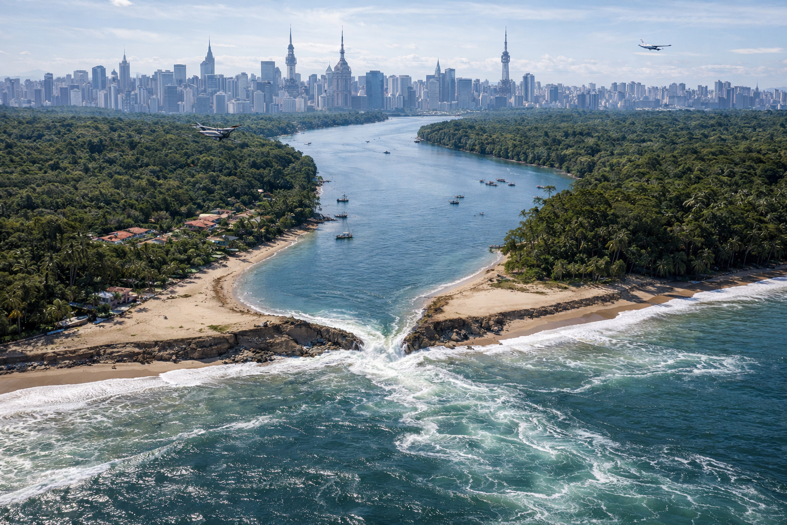
Sea Level Rise in the Melão Strait, Within the Cardoso Island State Park, Accelerates Since 2024, Impacting Caiçara Communities and Leading Justice to Demand an Emergency Plan from the São Paulo Government
A significant environmental transformation is advancing in the south coast of São Paulo. In Cananéia, erosion in the Melão Strait could create a new island within the Cardoso Island State Park.
Since 2024, technicians and residents have been monitoring the reduction of the land strip. That year, the narrowest point measured about 100 meters wide.
In 2025, the same stretch dropped to approximately 20 meters. This shrinkage confirms the acceleration of the erosive process.
-
Your child may be gifted and you don’t even suspect it: experts warn that even low grades and disinterest in school may hide high abilities behind boredom.

-
An old telephone booth was removed during construction at an English station and ended up revealing tunnels under platform 4, with hidden rooms connected to the railway logistics of another era.

-
The SP government considers demolishing a 40-meter bridge after a 21-year-old was launched without a rope in a radical jump; the federal structure has been abandoned for 30 years and had already been the subject of warnings.
-
Found after demolition, a 1916 capsule contained steel, cast iron, ore, an old newspaper, and clues about how factories avoided industrial measurement errors.


Technical Investigation Reveals Accelerated Erosion
First, the constant force of the waters wears away an already weakened soil. In addition, coastal dynamics intensify the advance of the sea over the natural barrier.
In practice, the ocean is eroding the strip that separates the sea from the estuary. This creates a path that could allow for the permanent entry of marine waters.
If the breach occurs, part of the Cardoso Island will become isolated. Thus, a new insular portion will emerge.
Although the formation of islands is part of coastal dynamics, the current speed concerns residents and specialists.
Changes Already Impact Landscape and Routine of Communities
Beyond the narrowing of the sand strip, a canal approximately 170 meters wide and 3 meters deep has already consolidated in the region.
As a result, residents have started using boats more frequently for basic activities. Land access to schools, health units, and markets has become more difficult.
During 2024, technical reports registered the intensification of erosion. In February 2025, court decisions recognized the gravity of the situation.
Today, artisanal fishermen and community tourism operators are already feeling the impacts. Caiçara families are also adapting their traditional use of the land.
Environmental and Social Impacts Gain Strategic Dimension
The possible formation of a new island alters more than just the landscape. The phenomenon directly affects the estuary ecosystem.
Mangroves, breeding areas for marine species, and natural coastal protection zones face changes in currents and salinity.
With the opening of a new canal between the sea and the estuary, the risk of siltation increases. The accumulation of sediments could reduce the depth in other stretches.
This change interferes with navigation routes and artisanal fishing.
Among the main observed effects are:
- Risk to mangroves, with the loss of shelter areas.
- Change in currents, altering the internal circulation of the estuary.
- Land isolation, complicating access for communities.
- Pressure on public services, which need to adapt transportation and infrastructure.
Meanwhile, some families are already considering moving if the sea advance continues.
Justice Orders Contingency Plan for the Melão Strait
In light of the erosion advance, the issue reached the Judiciary. On February 2, 2025, the Justice ordered the Government of the State of São Paulo to present a contingency plan within 45 days. See images of Cardoso Island:
The plan must include emergency measures and medium-term actions. Among them are the mapping of vulnerable areas and the definition of alternative routes.
Additionally, the government will need to offer logistical support to families at risk and maintain continuous monitoring of the width of the strait.
The document also provides for increased protection of mangroves and other sensitive ecosystems.
New Configuration Could Redefine the São Paulo Coast
If a total breach occurs, the south coast of São Paulo will gain a new geographical configuration.
Navigation routes could change. Furthermore, managers may review usage limits within the state park.
Coastal dynamics specialists explain that erosion, siltation, and island formation are part of the natural evolution of marine environments.
However, inhabited areas require constant monitoring and advance planning.
Now, decisions about environmental protection and adaptation of caiçara communities will determine how the south coast of São Paulo will be lived in the coming decades.


-

-

-

10 people reacted to this.